Cullingworth

Civil Parish in Yorkshire Bradford

England

Cullingworth

Main Street
Main Street Credit: Alex McGregor

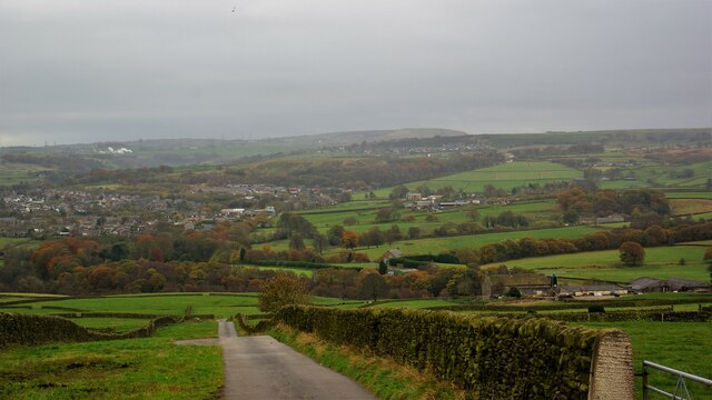
Cullingworth is a civil parish located in the metropolitan borough of Bradford, in the county of West Yorkshire, England. Situated in the picturesque Aire Valley, it is nestled between the towns of Bingley and Keighley. The parish covers an area of approximately 9 square miles and has a population of around 3,500 residents.

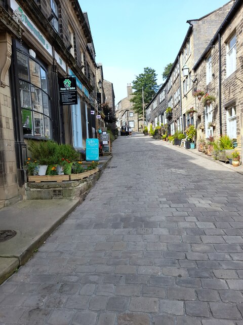
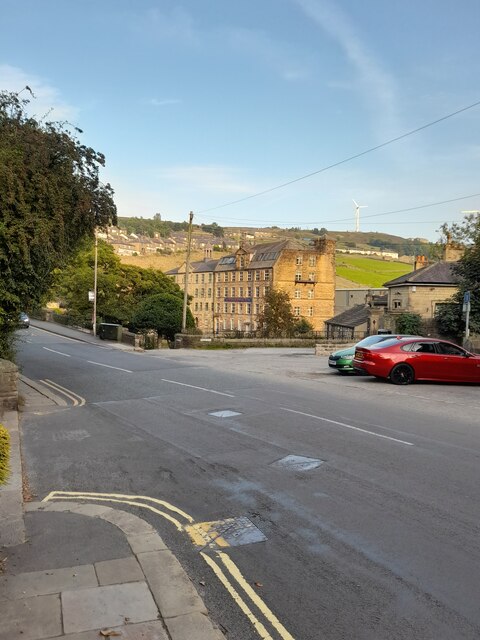
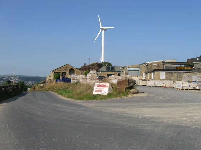
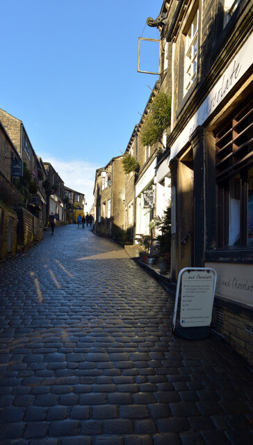
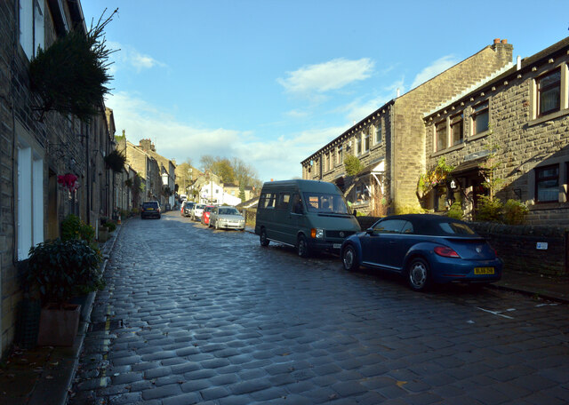
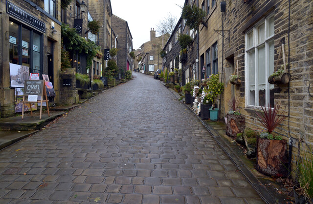
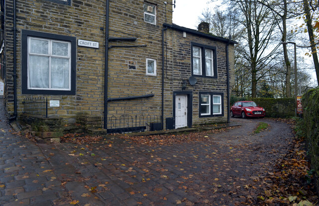
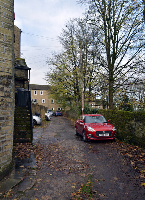
Cullingworth is known for its charming rural landscape, with rolling hills and scenic countryside views. The village itself is characterised by a mix of traditional stone-built houses and more modern developments. It boasts a close-knit community and a strong sense of local pride.

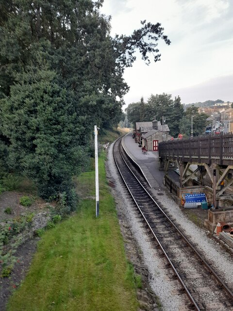
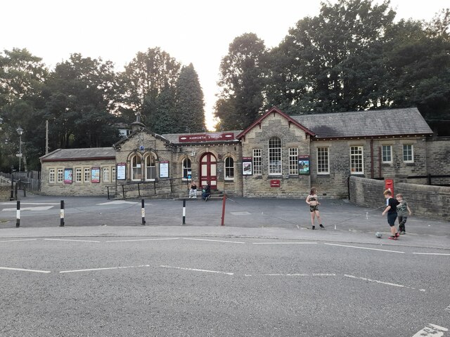
The parish is well-served by a range of amenities, including a primary school, several shops, a post office, and a library. There are also several pubs and restaurants, offering a variety of dining options. The village has good transportation links, with regular bus services connecting it to surrounding towns and cities.

Cullingworth is surrounded by beautiful natural attractions, making it a popular destination for outdoor enthusiasts. The nearby St. Ives Estate and reservoir offers scenic walks and outdoor activities, while the Yorkshire Dales National Park is just a short drive away.

The parish is also home to a number of community groups and organisations, which contribute to its vibrant social scene. These include sports clubs, choirs, and art groups, providing opportunities for residents to engage in various hobbies and interests.

Overall, Cullingworth offers a peaceful and idyllic setting for those seeking a countryside lifestyle, while still being within easy reach of urban amenities.

If you have any feedback on the listing, please let us know in the comments section below.
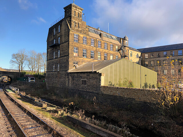
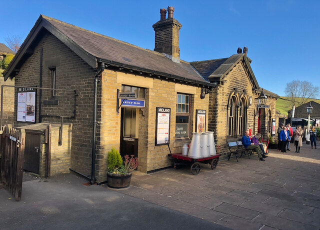
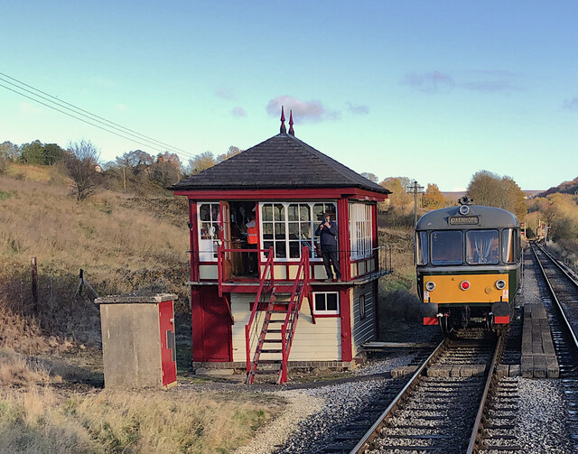
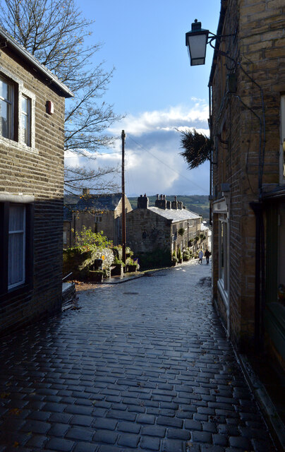
Cullingworth Images

Images are sourced within 2km of 53.832772/-1.925589 or Grid Reference SE0437. Thanks to Geograph Open Source API. All images are credited.

Main Street
Main Street
Bridgehouse Lane
Bridgehouse Lane
Haworth Station
Haworth Station
Haworth Station
Haworth Station
Black Moor Road
Black Moor Road
Early days on the Keighley and Worth Valley Railway A view at Haworth station yard just a couple of weeks after the line re-opened as a heritage railway.

In the centre, Hughes 'Crab' 2-6-0 27000 is seen in initial stages of restoration. It was the first of its class to be built and has since been transferred to the National Collection at the National Railway Museum in York <a title="https://www.geograph.org.uk/photo/5642385" href="https://www.geograph.org.uk/photo/5642385">Link</a>
Early days on the Keighley and Worth Valley Railway
A view at Haworth station yard just a couple of weeks after the line re-opened as a heritage railway. In the centre, Hughes 'Crab' 2-6-0 27000 is seen in initial stages of restoration. It was the first of its class to be built and has since been transferred to the National Collection at the National Railway Museum in York Link
42700 at Haworth, 1968 It has lost its BR livery, compare with <a href="https://www.geograph.org.uk/photo/6997694">SE0337 : Early days on the Keighley and Worth Valley Railway</a> a few weeks earlier. This is believed to have been a BR 'copyright' condition at the time for their stock sold on.
42700 at Haworth, 1968
It has lost its BR livery, compare with SE0337 : Early days on the Keighley and Worth Valley Railway a few weeks earlier. This is believed to have been a BR 'copyright' condition at the time for their stock sold on.
Main Street, Haworth The centre of the village, whose numerous independent shops and eateries along this steep cobbled street, are as much a tourist draw as its ostensible main attraction: the Parsonage, home of the Brontë sisters, which is tucked away at the end of a side street.
Main Street, Haworth
The centre of the village, whose numerous independent shops and eateries along this steep cobbled street, are as much a tourist draw as its ostensible main attraction: the Parsonage, home of the Brontë sisters, which is tucked away at the end of a side street.
Bridgehouse Mills, Haworth Seen from a train on the adjacent Worth Valley railway, the part of the mill closest to the railway is occupied by military clothing specialists Wyedean <span class="nowrap"><a title="https://www.wyedean.com/" rel="nofollow ugc noopener" href="https://www.wyedean.com/">Link</a><img style="margin-left:2px;" alt="External link" title="External link - shift click to open in new window" src="https://s1.geograph.org.uk/img/external.png" width="10" height="10"/></span> . The rest of the site has been converted for housing.
Bridgehouse Mills, Haworth
Seen from a train on the adjacent Worth Valley railway, the part of the mill closest to the railway is occupied by military clothing specialists Wyedean LinkExternal link . The rest of the site has been converted for housing.
Oakworth Station Passengers await a train to Keighley on the Worth Valley Railway, the station of course famed for its appearances in the film The Railway Children
Oakworth Station
Passengers await a train to Keighley on the Worth Valley Railway, the station of course famed for its appearances in the film The Railway Children
Keighley & Worth Valley Railway, Damems The passing loop and signal box south-west of Damems station. The preserved heritage railway's Waggon & Maschinenbau diesel railbus, No. M79964, waits for the steam-hauled service to pass in the opposite direction.
Keighley & Worth Valley Railway, Damems
The passing loop and signal box south-west of Damems station. The preserved heritage railway's Waggon & Maschinenbau diesel railbus, No. M79964, waits for the steam-hauled service to pass in the opposite direction.
Main Street, Haworth
Croft Street, Haworth
Lees Moor from Bingley Road Lees Moor is a long straight lane to farms. Cullingworth is in the distance
Lees Moor from Bingley Road
Lees Moor is a long straight lane to farms. Cullingworth is in the distance
Show me another place!

Cullingworth is located at Grid Ref: SE0437 (Lat: 53.832772, Lng: -1.925589)

Division: West Riding

Administrative County: West Yorkshire

District: Bradford

Police Authority: West Yorkshire

What 3 Words

///creatures.pinging.rates. Near Haworth, West Yorkshire

Related Wikis

Lees Moor Tunnel

Lees Moor Tunnel is an abandoned tunnel on the former Great Northern Railway line between Queensbury and Keighley in West Yorkshire, England. The former...

Cross Roads, West Yorkshire

Cross Roads or Cross Roads with Lees or Cross Roads cum Lees is a village and civil parish within the City of Bradford Metropolitan District, West Yorkshire...

Bogthorn

Bogthorn is a hamlet which forms part of Keighley in the City of Bradford, West Yorkshire, England. It lies between Exley Head and Oakworth on Keighley...

Haworth, Cross Roads and Stanbury

Haworth, Cross Roads and Stanbury is a former civil parish that covered the far western hinterland of the City of Bradford in West Yorkshire, England....

Nearby Amenities

Located within 500m of 53.832772,-1.925589
Bus Stop
Halifax Road / Private Road
Local Ref: 45020087
Naptan AtcoCode: 450020087
Naptan Bearing: SW
Naptan CommonName: Halifax Road Private Road
Naptan Crossing: Staples Brow
Naptan Indicator: Stop 45020087
Naptan Landmark: Sringfield Farm (Riding School)
Naptan PlusbusZoneRef: LEEDS
Naptan ShortCommonName: Private Road
Naptan Street: Halifax Road
Note: merged
Opposite: yes
Shelter: no
Source: naptan_import; survey
Lat/Long: 53.8297292/-1.9214925
Halifax Road / Private Road
Local Ref: 45050914
Naptan AtcoCode: 450050914
Naptan Bearing: NE
Naptan BusStopType: CUS
Naptan CommonName: Halifax Road Private Road
Naptan Indicator: Stop 45050914
Naptan PlusbusZoneRef: LEEDS
Naptan ShortCommonName: Springfield Farm
Naptan Street: Halifax Road
Physically Present: opposite
Source: naptan_import; survey
Lat/Long: 53.8298085/-1.921722
Traffic Calming: choker
Lat/Long: 53.8356721/-1.927743
Shop: car
Lat/Long: 53.8354941/-1.9277634
Note: outlet unknown
Lat/Long: 53.831558/-1.9298963
Rest Area
Lat/Long: 53.8340114/-1.9309668
Generator Method: photovoltaic
Generator Output Electricity: yes
Generator Source: solar
Generator Type: solar_photovoltaic_panel
Power: generator
Lat/Long: 53.8349287/-1.9305975
Generator Method: photovoltaic
Generator Output Electricity: yes
Generator Source: solar
Generator Type: solar_photovoltaic_panel
Power: generator
Lat/Long: 53.8351368/-1.9275842
The data included in this document is from www.openstreetmap.org. The data is made available under ODbL.

Have you been to Cullingworth?

Leave your review of Cullingworth below (or comments, questions and feedback).