Calveley
Civil Parish in Cheshire
England
Calveley
Calveley is a civil parish located in the county of Cheshire, in the northwest of England. Situated approximately 13 miles east of Chester, it falls within the unitary authority of Cheshire East. The parish is nestled in a rural area, characterized by its picturesque countryside and charming landscapes.
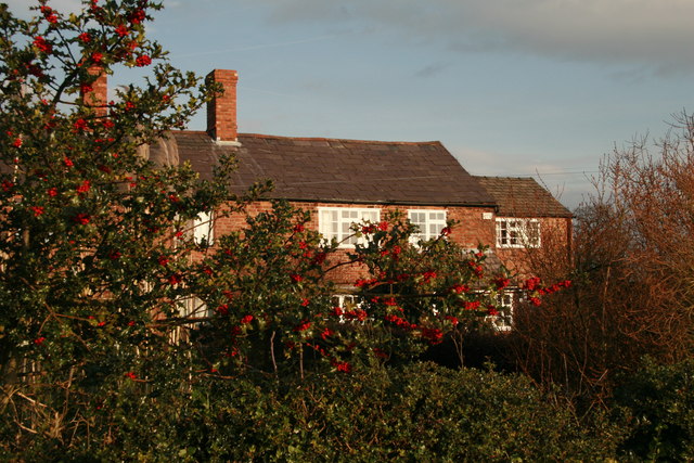
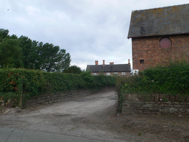
The village of Calveley is the main settlement within the parish. It is a small and close-knit community, with a population of around 200 residents. The village is known for its quaint cottages and traditional English architecture, which adds to its timeless appeal.
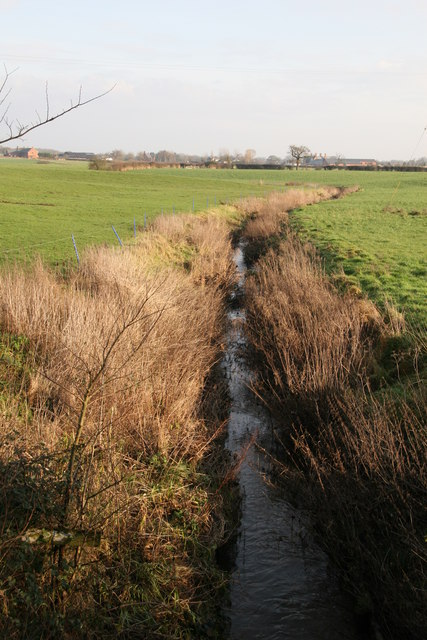
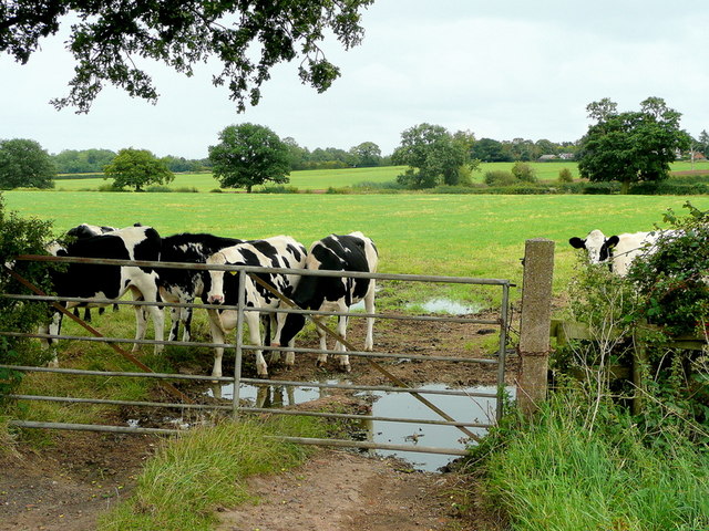
The parish is surrounded by beautiful green fields and farmland, making it an ideal location for those seeking a peaceful and tranquil setting. The area is popular with walkers and nature enthusiasts, as it offers numerous scenic footpaths and trails that showcase the natural beauty of Cheshire.
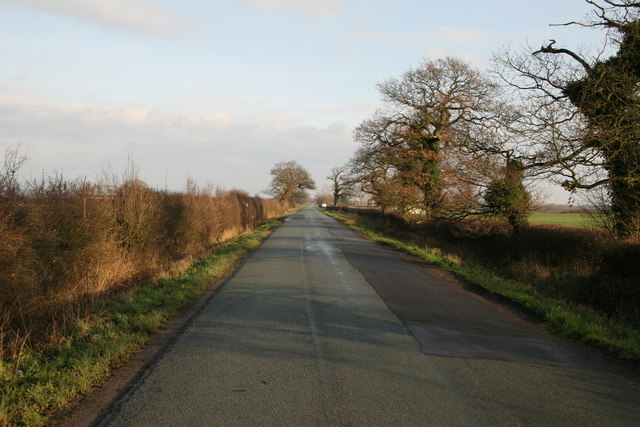
Despite its rural nature, Calveley is conveniently located near major transport links. The A51 road runs through the parish, connecting it to nearby towns and cities such as Nantwich and Chester. This allows residents easy access to amenities and services in the surrounding areas.
Calveley is also home to St. Mary's Church, a Grade II listed building that dates back to the 19th century. The church serves as a focal point for the community, hosting regular services and community events.
Overall, Calveley is a charming and idyllic civil parish in Cheshire, offering a tranquil lifestyle amidst the stunning countryside of northwest England.
If you have any feedback on the listing, please let us know in the comments section below.
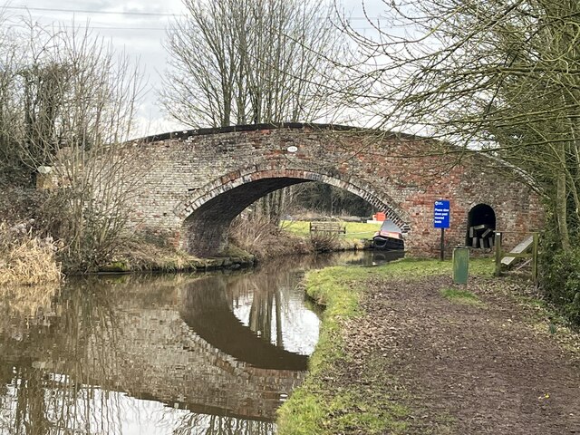
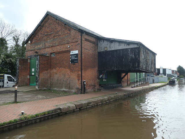
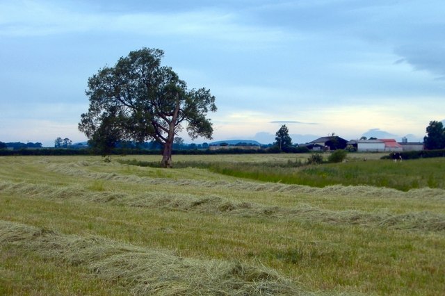
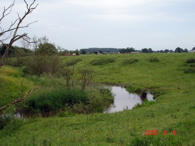
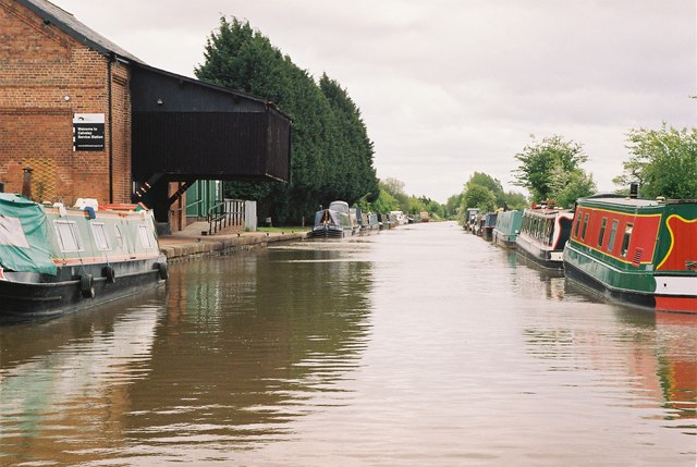
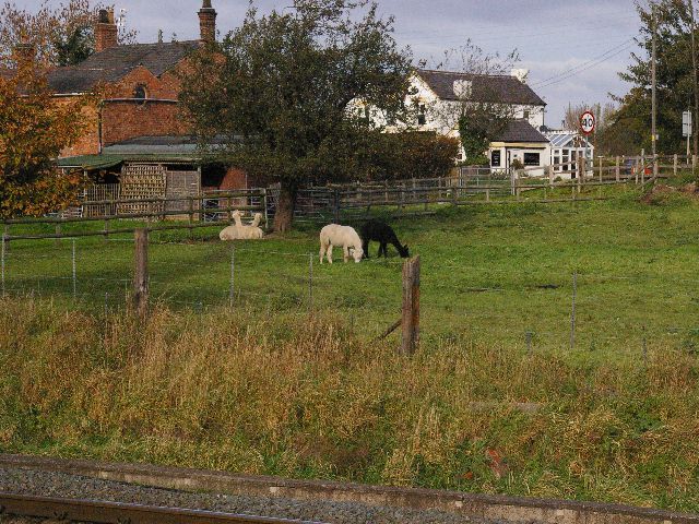
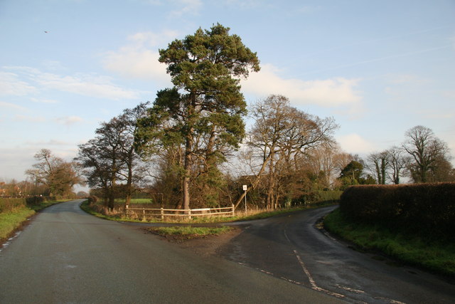
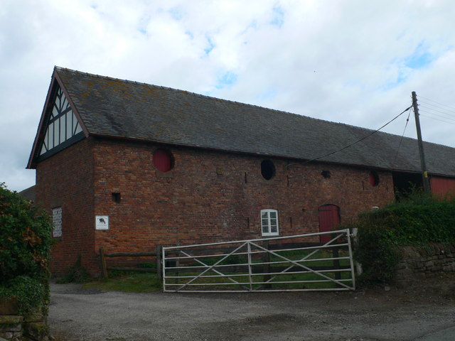
Calveley Images
Images are sourced within 2km of 53.128931/-2.587304 or Grid Reference SJ6059. Thanks to Geograph Open Source API. All images are credited.
Calveley is located at Grid Ref: SJ6059 (Lat: 53.128931, Lng: -2.587304)
Unitary Authority: Cheshire East
Police Authority: Cheshire
What 3 Words
///trembles.rotations.folks. Near Bunbury, Cheshire
Nearby Locations
Related Wikis
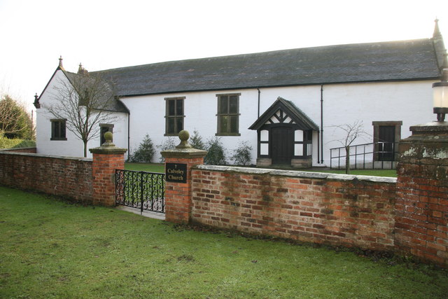
Calveley Church
Calveley Church is in the village of Calveley, Cheshire, England. It is an active Anglican church in the parish of St Boniface, Bunbury, the deanery of...

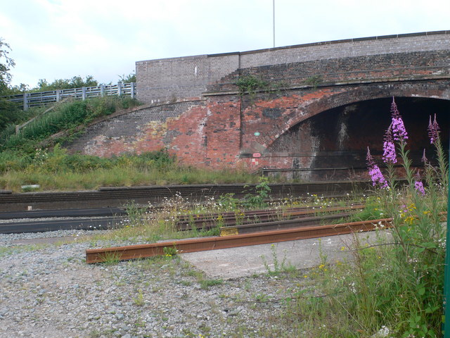
Calveley railway station
Calveley railway station (originally Highwayside) was located in the centre of the small village of Calveley, Cheshire, England. == History == Opened 1...
Calveley
Calveley is a village and former civil parish, now in the parish of Alpraham and Calveley, in the unitary authority area of Cheshire East and the ceremonial...

Barrets Green
Barrets Green is a small settlement in the unitary authority of Cheshire East and the ceremonial county of Cheshire, England. It lies on the A51 (Nantwich...

Cholmondeston
Cholmondeston ( CHUM-stən) is a village and civil parish in the unitary authority of Cheshire East and the ceremonial county of Cheshire, England. The...
Mark III (radio telescope)
The Mark III was a portable and fully steerable radio telescope located at Wardle, near Nantwich, Cheshire in the north-west of England. Constructed in...
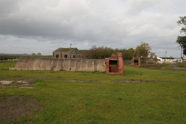
RAF Calveley
Royal Air Force Calveley or more simply RAF Calveley is a former Royal Air Force station near Nantwich, Cheshire. == History == In December 1940, it was...

Wardle, Cheshire
Wardle is a village and civil parish in the unitary authority of Cheshire East and the ceremonial county of Cheshire, England. The village lies on the...
Nearby Amenities
Located within 500m of 53.128931,-2.587304Have you been to Calveley?
Leave your review of Calveley below (or comments, questions and feedback).