Bawdsey

Civil Parish in Suffolk East Suffolk

England

Bawdsey

Bawdsey Transmitter Block
Bawdsey Transmitter Block Credit: Chris Holifield

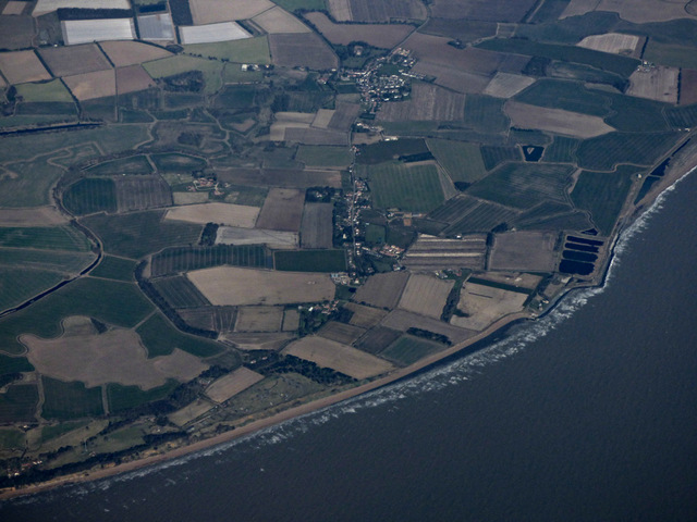
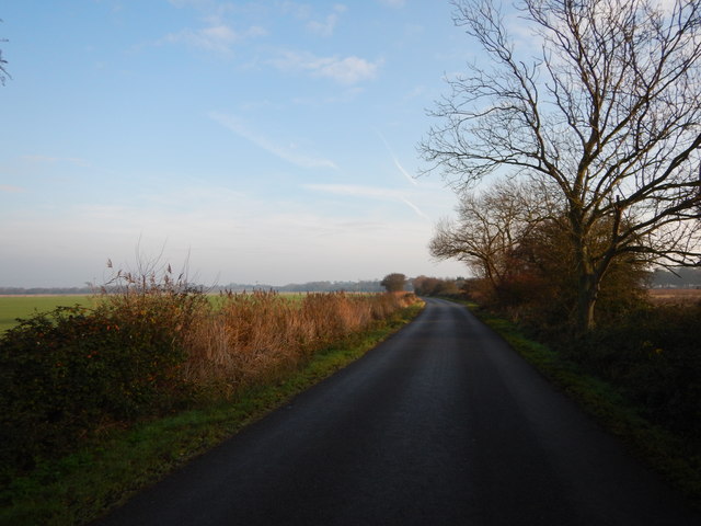
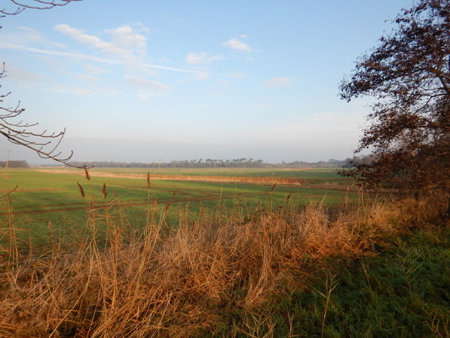
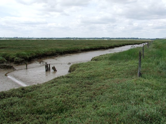
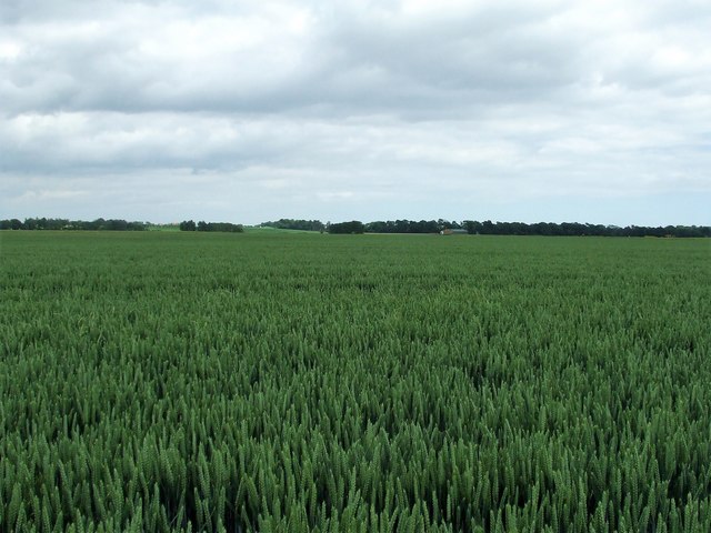
Bawdsey is a small civil parish located on the eastern coast of Suffolk, England. Situated on the north bank of the River Deben, it is surrounded by picturesque countryside and offers stunning views of the North Sea.

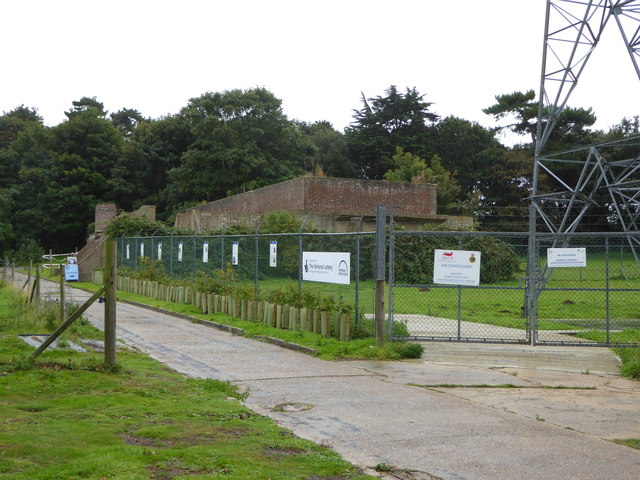
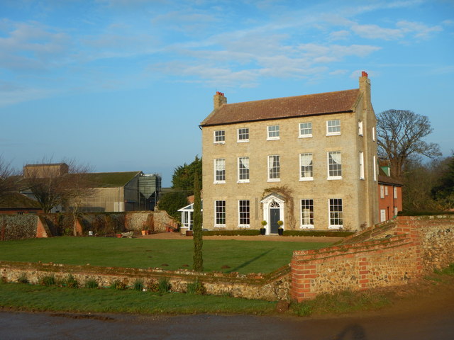
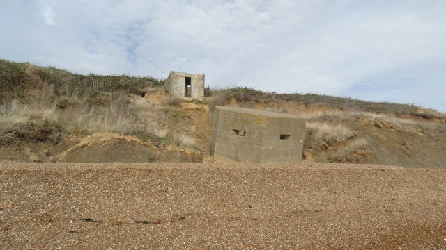
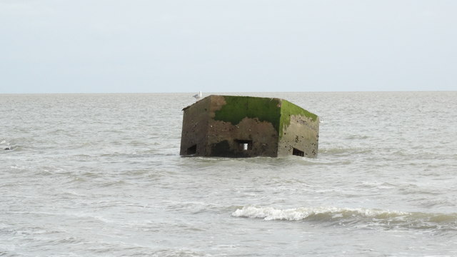
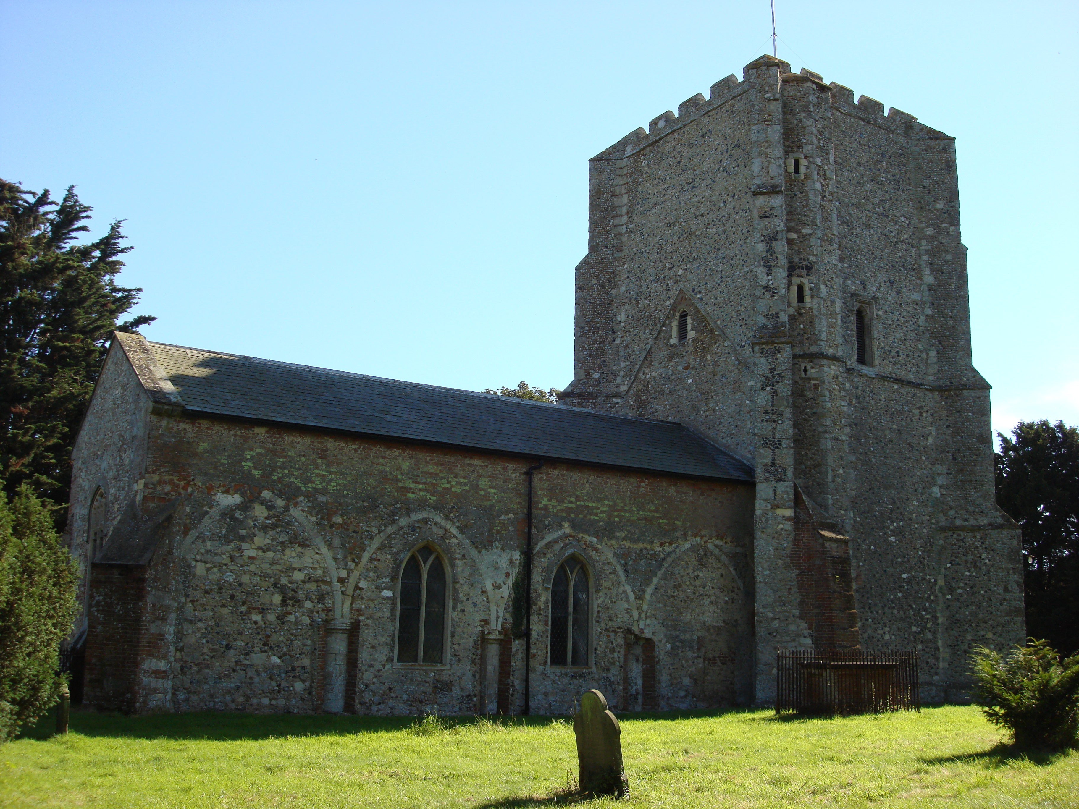
The village of Bawdsey is known for its rich history, particularly its significant role in World War II. During the war, Bawdsey Manor was home to the top-secret research and development facility for radar technology, playing a crucial role in the Allied victory. Today, the manor has been converted into luxury apartments, but its historical significance is still recognized.

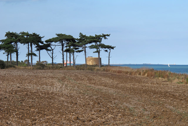
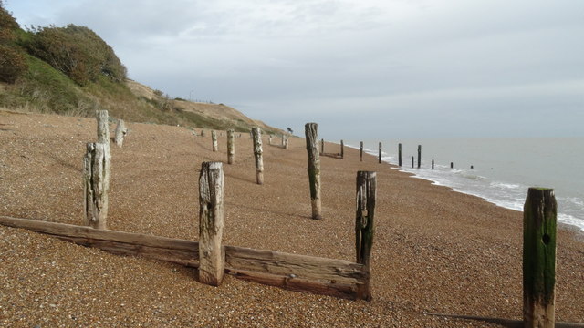
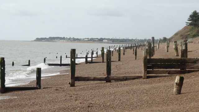
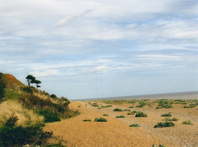
In addition to its historical importance, Bawdsey is also a popular tourist destination. The village is renowned for its beautiful beaches and tranquil atmosphere, making it an ideal spot for relaxation and leisure activities. Visitors can enjoy walks along the coastline, take in the stunning views, and explore the nearby nature reserves.

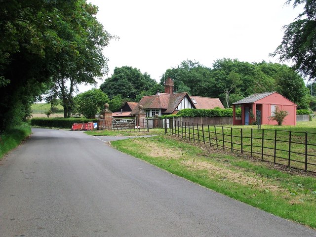
Bawdsey is a close-knit community with a population of around 200 residents. The village offers basic amenities, including a local pub and a village hall, which hosts various events throughout the year. There are also a few accommodation options available for visitors, including bed and breakfasts and holiday cottages.

Overall, Bawdsey is a charming and historically significant village that offers a peaceful and picturesque escape for both residents and visitors alike.

If you have any feedback on the listing, please let us know in the comments section below.

Bawdsey Images

Images are sourced within 2km of 52.006275/1.415552 or Grid Reference TM3439. Thanks to Geograph Open Source API. All images are credited.

Bawdsey Transmitter Block
Martello Tower
Martello Tower
Bawdsey Beach and Bawdsey from the air Viewed from a Stansted bound flight from Prague.
Bawdsey Beach and Bawdsey from the air
Viewed from a Stansted bound flight from Prague.
Looking to a raised water tank, Bawdsey Looking over a farm field to an old raised water tank.
Looking to a raised water tank, Bawdsey
Looking over a farm field to an old raised water tank.
Looking over arable field to Martello Tower, Bawdsey
Ferry Road towards Bawdsey
Bawdsey Marshland Fields
Bawdsey - High House and High House Farm C17 and C18 house Grade II listed - The farmer must have been doing very well at some point.
Bawdsey - High House and High House Farm
C17 and C18 house Grade II listed - The farmer must have been doing very well at some point.
On the Suffolk coast below Bawdsey Manor - old groynes
On the Suffolk coast at Bawdsey - pill box on beach Evidence of severe erosion along this section of coast.
On the Suffolk coast at Bawdsey - pill box on beach
Evidence of severe erosion along this section of coast.
On the Suffolk coast at Bawdsey - Pill box now at sea as a result of erosion Evidence of severe erosion on this section of coast.
On the Suffolk coast at Bawdsey - Pill box now at sea as a result of erosion
Evidence of severe erosion on this section of coast.
Beach near Bawdsey
Beach near Bawdsey
Flush Bracket OSBM 2620 Bawdsey Middle Barn Flush Bracket OSBM 2620 Bawdsey Middle Barn E face, NE angle.
Flush Bracket OSBM 2620 Bawdsey Middle Barn
Flush Bracket OSBM 2620 Bawdsey Middle Barn E face, NE angle.
Muddy Channel Muddy channel next to the River Deben near to Bawdsey, Suffolk.
Muddy Channel
Muddy channel next to the River Deben near to Bawdsey, Suffolk.
Field Of Wheat Looking North through a field of Wheat near to Bawdsey, Suffolk.
Field Of Wheat
Looking North through a field of Wheat near to Bawdsey, Suffolk.
Looking Towards Alderton Marshes View over a field of wheat towards Alderton Marshes near to Bawdsey, Suffolk.
Looking Towards Alderton Marshes
View over a field of wheat towards Alderton Marshes near to Bawdsey, Suffolk.
Ferry Road Looking north east along Ferry Road near to Bawdsey, Suffolk.
Ferry Road
Looking north east along Ferry Road near to Bawdsey, Suffolk.
Show me another place!

Bawdsey is located at Grid Ref: TM3439 (Lat: 52.006275, Lng: 1.415552)

Administrative County: Suffolk

District: East Suffolk

Police Authority: Suffolk

What 3 Words

///plots.incline.sheepish. Near Felixstowe, Suffolk

Nearby Locations

Bawdsey

Related Wikis

Bawdsey

Bawdsey is a village and civil parish in Suffolk, eastern England. Located on the other side of the river Deben from Felixstowe, it had an estimated population...
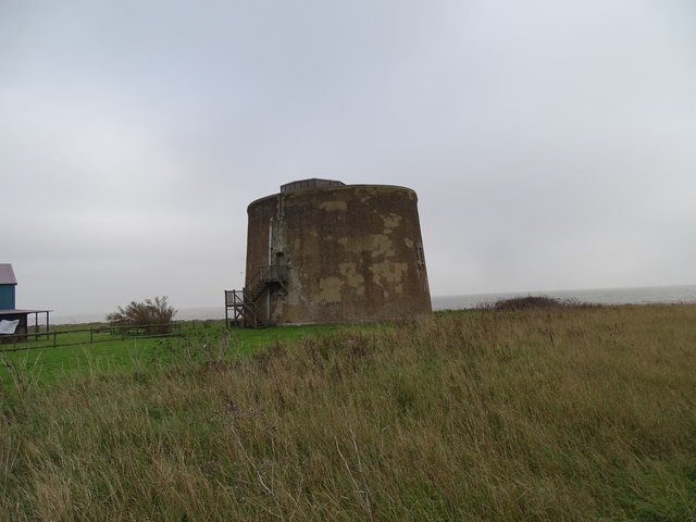
Bawdsey Cliff

Bawdsey Cliff is a 17.4-hectare (43-acre) geological Site of Special Scientific Interest north-east of Felixstowe in Suffolk. It is a Geological Conservation...
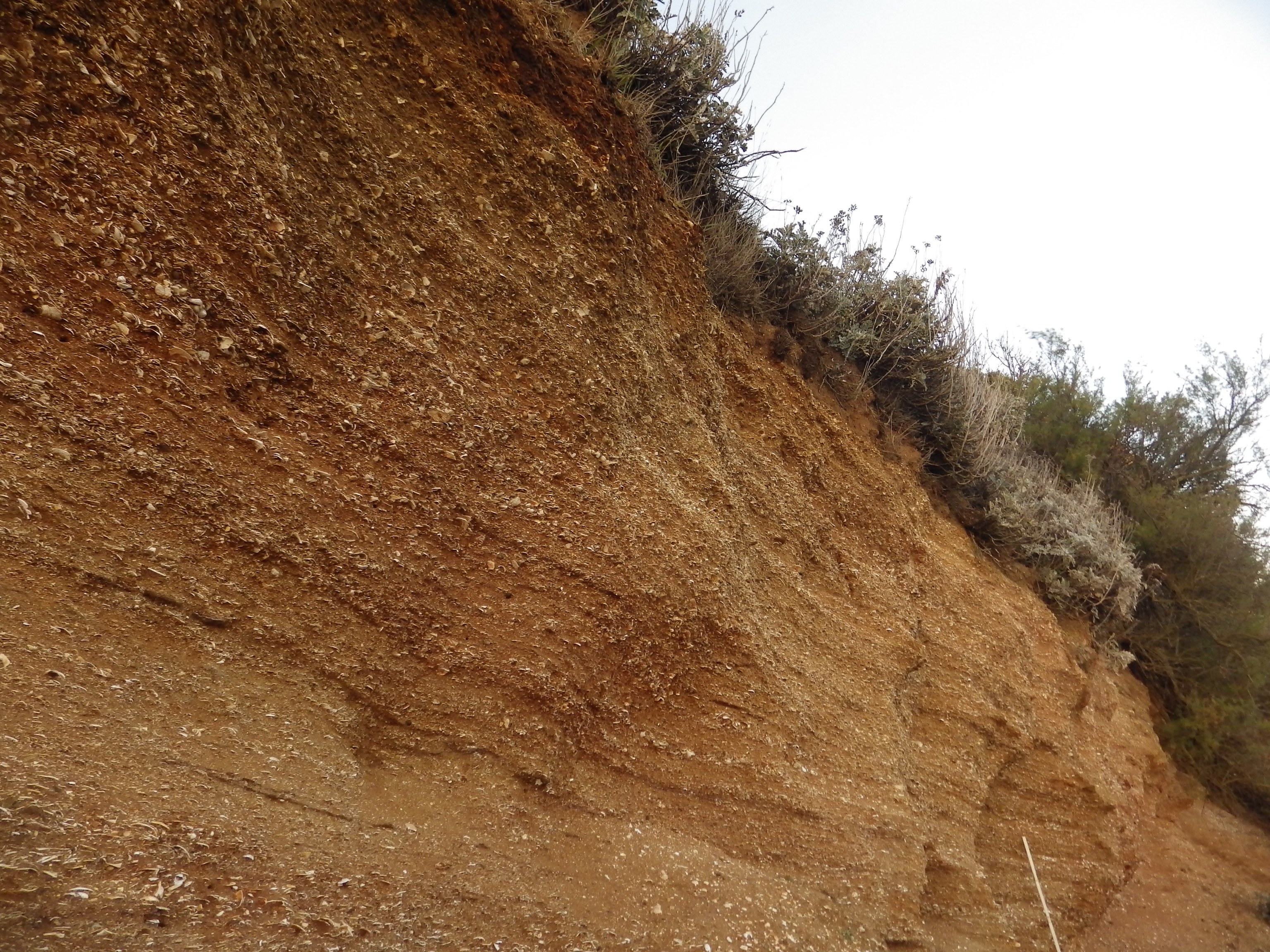
Red Crag Formation

The Red Crag Formation is a geological formation in England. It outcrops in south-eastern Suffolk and north-eastern Essex. The name derives from its iron...
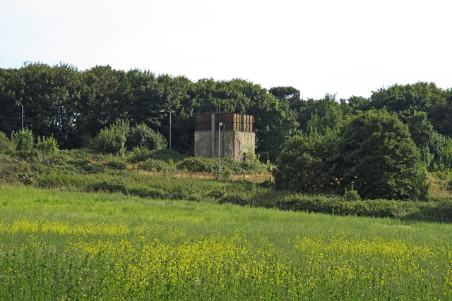
RAF Bawdsey

Royal Air Force Bawdsey or more simply RAF Bawdsey is a former Royal Air Force station situated on the eastern coast in Suffolk, England. Also known as...

Nearby Amenities

Located within 500m of 52.006275,1.415552
Bawdsey
Is In: Suffolk,England,UK
Place: village
Wikidata: Q2207320
Wikipedia: en:Bawdsey
Lat/Long: 52.0094318/1.4193577
Bus Stop
Church
Naptan AtcoCode: 390060339
Naptan Bearing: N
Naptan CommonName: Church
Naptan Indicator: adj
Naptan Landmark: Church
Naptan NaptanCode: sufgpgpm
Naptan Street: The Street
Naptan Verified: no
Source: naptan_import
Lat/Long: 52.0095259/1.418548
Bus Stop
Church
Naptan AtcoCode: 390060340
Naptan Bearing: S
Naptan BusStopType: CUS
Naptan CommonName: Church
Naptan Indicator: opp
Naptan Landmark: Church
Naptan NaptanCode: sufgpgpt
Naptan Street: The Street
Naptan Verified: no
Source: naptan_import
Lat/Long: 52.0095862/1.4186401
Post Box
Collection Times: Mo-Fr 16:00; Sa 09:00
Post Box Type: lamp
Ref: IP12 6353
Royal Cypher: EIIR
Royal Cypher Wikidata: Q33102113
Lat/Long: 52.0057475/1.4197375
Parking
Access: private
Lat/Long: 52.0105275/1.4174281
Parking
Access: private
Lat/Long: 52.009423/1.4207259
Parking
Access: private
Lat/Long: 52.0092472/1.4207634
Parking
Access: private
Lat/Long: 52.0089838/1.4192668
Parking
Access: private
Lat/Long: 52.0088039/1.4193499
Parking
Access: private
Lat/Long: 52.0049015/1.4184554
Parking
Access: private
Lat/Long: 52.0045531/1.4183924
Parking
Access: private
Lat/Long: 52.0076613/1.4202659
Parking
Access: private
Lat/Long: 52.0075879/1.4192493
Parking
Access: private
Lat/Long: 52.0078867/1.4189006
Parking
Access: private
Lat/Long: 52.0087089/1.4186485
Parking
Access: private
Lat/Long: 52.008893/1.4185855
The data included in this document is from www.openstreetmap.org. The data is made available under ODbL.

Have you been to Bawdsey?

Leave your review of Bawdsey below (or comments, questions and feedback).