Bawdrip

Civil Parish in Somerset Sedgemoor

England

Bawdrip

View across Horsey Level View across Horsey Level from the A39 near Knowle Hall.  Traffic on the M5 motorway can be seen in the middle distance in front of the large buildings on the industrial estate.
View across Horsey Level Credit: Philip Halling

Bawdrip is a civil parish located in the Sedgemoor district of Somerset, England. Situated about 5 miles northwest of Bridgwater, it covers an area of approximately 5 square kilometers and has a population of around 700 people.

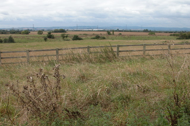
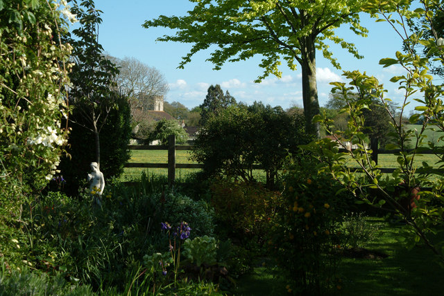
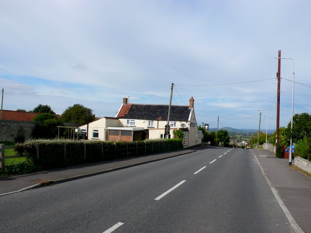
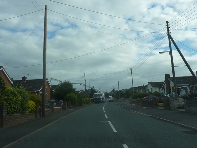
The village of Bawdrip is primarily a rural community, characterized by its picturesque countryside and charming rural architecture. The village is surrounded by farmland, with a mix of arable and pasture land dominating the landscape. The River Parrett flows nearby, adding to the natural beauty of the area.

The village itself is small, with a tight-knit community and a friendly atmosphere. It has a range of amenities, including a primary school, a village hall, and a church. The village hall serves as a focal point for community activities, hosting events and gatherings throughout the year.

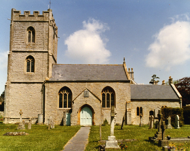
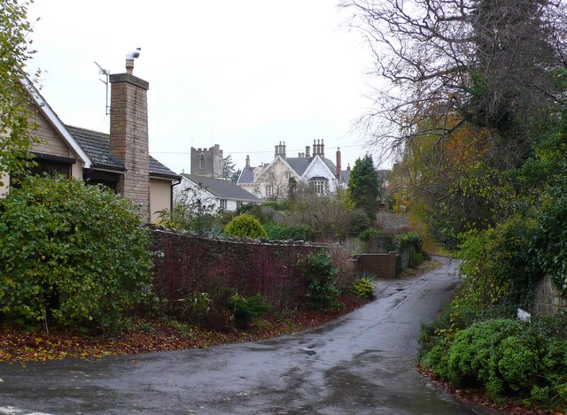
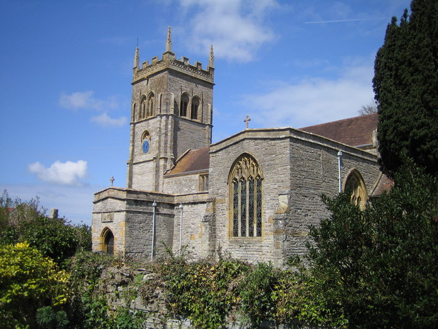
Historically, Bawdrip has been inhabited for centuries, with evidence of human activity dating back to the Iron Age. The name "Bawdrip" is believed to have originated from the Old English words "beald" and "thorp," meaning "bold village." The village has a rich history, with various historical landmarks and buildings, such as St Michael and All Angels Church, which dates back to the 12th century.

Overall, Bawdrip offers a tranquil and idyllic setting, making it an attractive place to live for those seeking a peaceful rural lifestyle. With its strong sense of community and picturesque surroundings, Bawdrip embodies the quintessential English village.

If you have any feedback on the listing, please let us know in the comments section below.
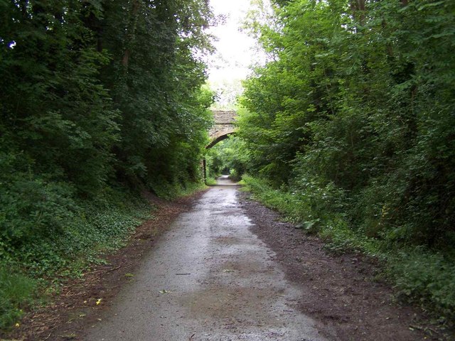
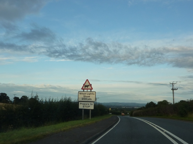
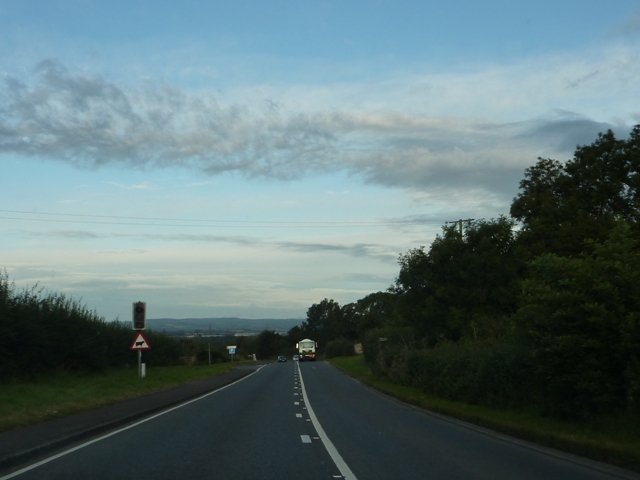
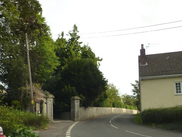
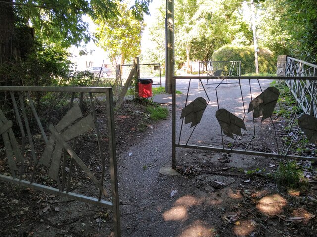
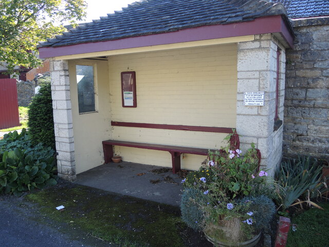
Bawdrip Images

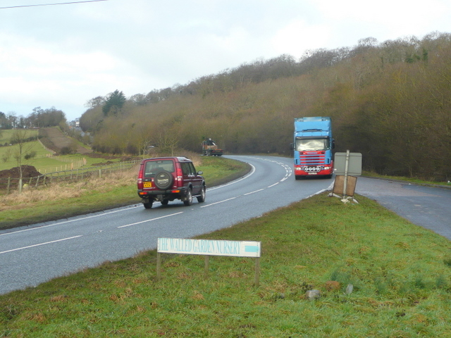
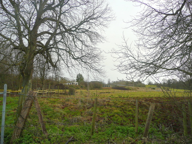
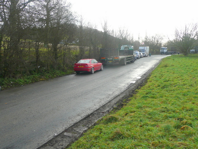
Images are sourced within 2km of 51.150592/-2.944106 or Grid Reference ST3439. Thanks to Geograph Open Source API. All images are credited.

View across Horsey Level View across Horsey Level from the A39 near Knowle Hall.  Traffic on the M5 motorway can be seen in the middle distance in front of the large buildings on the industrial estate.
View across Horsey Level
View across Horsey Level from the A39 near Knowle Hall. Traffic on the M5 motorway can be seen in the middle distance in front of the large buildings on the industrial estate.
St Mary's Church Cossington The church is delightful but has a very narrow aisle. Those getting married in the church have to choose who goes first.
St Mary's Church Cossington
The church is delightful but has a very narrow aisle. Those getting married in the church have to choose who goes first.
Nissen Hut on Knowle Hill
Fairways Caravan & Camping Site.
Cossington church seen from a village garden A view of the church taken from a cottage garden across pasture land in what was once Cossington Park belonging to the manor.
Cossington church seen from a village garden
A view of the church taken from a cottage garden across pasture land in what was once Cossington Park belonging to the manor.
A39 near Knowle The main road ascends the wooded South Hills towards Puriton and M5 junction 23.
A39 near Knowle
The main road ascends the wooded South Hills towards Puriton and M5 junction 23.
View to The Walled Garden nursery Looking up the slope of Knowle Hill from the lay-by on the A39.
Part of the nursery can just be made out.
View to The Walled Garden nursery
Looking up the slope of Knowle Hill from the lay-by on the A39. Part of the nursery can just be made out.
Lay-by on the A39 The land rises to Knowle Hill on the left.
Lay-by on the A39
The land rises to Knowle Hill on the left.
A39 Bridge over Sustrans Cycle Route The Cycle Route follows the path of a disused railway
A39 Bridge over Sustrans Cycle Route
The Cycle Route follows the path of a disused railway
Warning Cattle Crossing ahead On the A49 north of Bawdrip.
Warning Cattle Crossing ahead
On the A49 north of Bawdrip.
Cattle Crossing on the A39 Hopefully the Farmer is in control of these lights on the A39.
Cattle Crossing on the A39
Hopefully the Farmer is in control of these lights on the A39.
Manor Rd, Cossington With what maybe the gates to the manor to the left.
Manor Rd, Cossington
With what maybe the gates to the manor to the left.
The Prince of Wales, Woolavington The pub is situated on the west side of the B3141 in the southern half of the village. The road runs almost due north south across the whole square.
The Prince of Wales, Woolavington
The pub is situated on the west side of the B3141 in the southern half of the village. The road runs almost due north south across the whole square.
Cycle route 3 near Cossington
A far reach for cement The Cement Mixer piping piping over the roof of a house on Woolavington Hill is causing drivers some concern.
A far reach for cement
The Cement Mixer piping piping over the roof of a house on Woolavington Hill is causing drivers some concern.
Locks Way Cossington View west along this short street in the centre of the village towards the church which can be seen in the distance.
Locks Way Cossington
View west along this short street in the centre of the village towards the church which can be seen in the distance.
Barrier Chicane on NCN3 / Bawdrip Heritage Trail Barrier chicane at the top of the Bawdrip Heritage Trail / NCN3, at the exit onto Brent Road in Cossington
Barrier Chicane on NCN3 / Bawdrip Heritage Trail
Barrier chicane at the top of the Bawdrip Heritage Trail / NCN3, at the exit onto Brent Road in Cossington
Bus shelter in Cossington On Middle Road, with a somewhat antique plaque denouncing dog fouling.
Bus shelter in Cossington
On Middle Road, with a somewhat antique plaque denouncing dog fouling.
Show me another place!

Bawdrip is located at Grid Ref: ST3439 (Lat: 51.150592, Lng: -2.944106)

Administrative County: Somerset

District: Sedgemoor

Police Authority: Avon and Somerset

What 3 Words

///overheard.imperious.nerve. Near Woolavington, Somerset

Nearby Locations

Bawdrip Bawdrip

Related Wikis

Church of St Michael and All Angels, Bawdrip

The Anglican Church of St Michael and All Angels in Bawdrip, Somerset, England was built in the late 13th or early 14th century. It is a Grade II* listed...

Bawdrip Halt railway station

Bawdrip Halt was a railway station at Bawdrip on the Bridgwater branch of the Somerset and Dorset Joint Railway. Although the line had opened in 1890,...

Bawdrip

Bawdrip is a village and civil parish in Somerset, England. The village is on the south side of the Polden Hills about 4 miles (6.4 km) north-east of Bridgwater...

Cossington, Somerset

Cossington is a village and civil parish close to Woolavington and 5 miles (8 km) north of Bridgwater, in Somerset, England. The village lies on the north...

Church of St Mary, Cossington

The Anglican Church of St Mary in Cossington within the English county of Somerset was built in the 13th century. It is a Grade II* listed building....

Bridgwater Rural District

Bridgwater was a rural district in Somerset, England, from 1894 to 1974. It was created in 1894 under the Local Government Act 1894. In 1974 it was abolished...

Bridgwater Without

Bridgwater Without is a civil parish in the Sedgemoor district of Somerset, England. It lies to the east and south west of Bridgwater. The parish includes...

Chedzoy

Chedzoy (alternatively Chedzey) is a civil parish village 3 miles (4.8 km) east of Bridgwater in Somerset, England. == History == The village is at the...

Nearby Amenities

Located within 500m of 51.150592,-2.944106
Source: Landsat photo
Lat/Long: 51.1514099/-2.9498212
Parking
Bradney Bridge
Lat/Long: 51.148983/-2.9452167
Bawdrip
Is In: Somerset, England, UK
Place: village
Population: 498
Lat/Long: 51.1517219/-2.9436293
Bawdrip Halt
Historic Railway: station
Railway: site
Wikidata: Q4873770
Wikipedia: en:Bawdrip Halt railway station
Lat/Long: 51.1530913/-2.9398411
Post Box
Brand: Royal Mail
Brand Wikidata: Q638098
Brand Wikipedia: en:Royal Mail
Operator: Royal Mail
Operator Wikidata: Q638098
Post Box Type: wall
Ref: TA7 27
Royal Cypher: VR
Royal Cypher Wikidata: Q33102356
Lat/Long: 51.1520641/-2.9423442
Power: pole
Lat/Long: 51.1541723/-2.9462663
Power: pole
Lat/Long: 51.1547221/-2.9445538
Power: pole
Lat/Long: 51.1549655/-2.9438085
Power: pole
Lat/Long: 51.1510998/-2.9503282
Power: pole
Lat/Long: 51.1502081/-2.950854
Power: pole
Lat/Long: 51.1540583/-2.9466423
Power: pole
Lat/Long: 51.1539303/-2.9470429
Power: pole
Lat/Long: 51.1535622/-2.9482117
Power: pole
Lat/Long: 51.1527958/-2.948839
Power: pole
Lat/Long: 51.1521211/-2.9494285
Ford: yes
Lat/Long: 51.1473825/-2.9423186
The data included in this document is from www.openstreetmap.org. The data is made available under ODbL.

Have you been to Bawdrip?

Leave your review of Bawdrip below (or comments, questions and feedback).