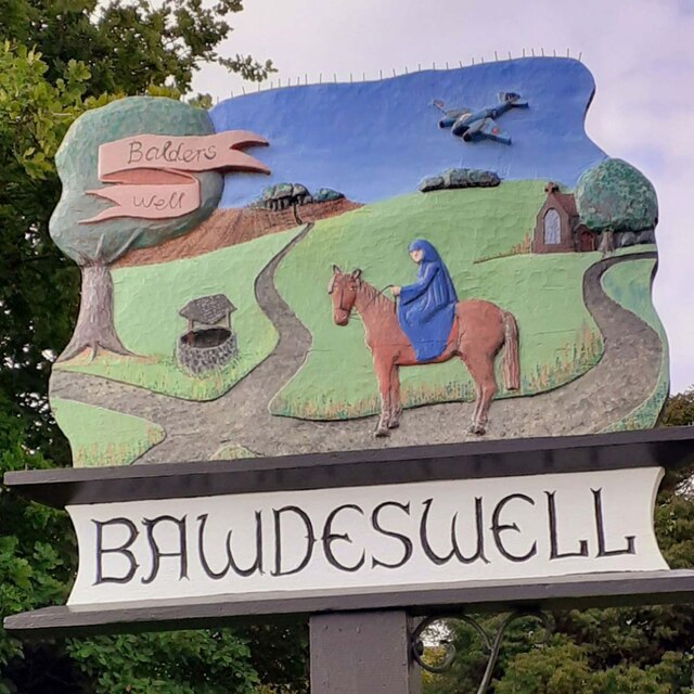
Bawdeswell
Civil Parish in Norfolk Breckland
England
Bawdeswell
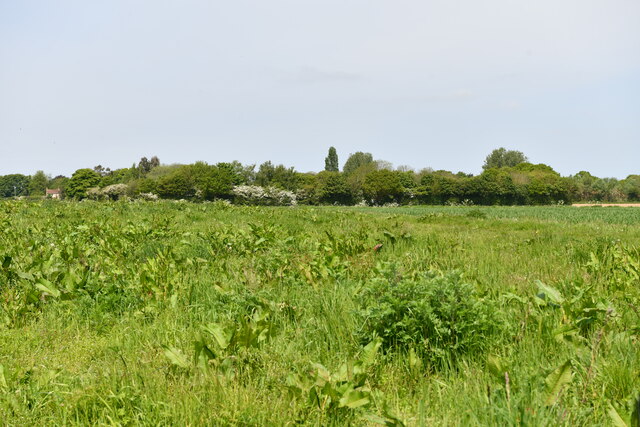
Bawdeswell is a small civil parish located in the county of Norfolk, England. Situated approximately 13 kilometers northwest of the city of Norwich, it is nestled in the heart of the picturesque Norfolk countryside. The village is surrounded by agricultural fields and is known for its peaceful and rural setting.
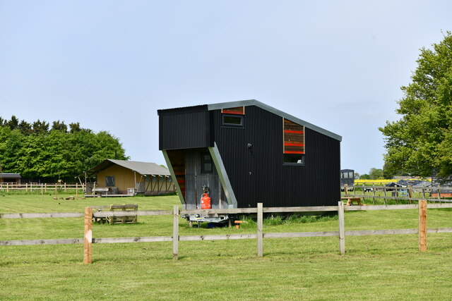
With a population of around 1,000 residents, Bawdeswell has a close-knit community that prides itself on its friendly and welcoming atmosphere. The village offers a range of amenities to its residents, including a primary school, a village hall, a recreation ground, and a local pub.
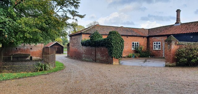
The history of Bawdeswell dates back to the Domesday Book, where it is mentioned as "Baldeswelle." The village has retained much of its historic charm, with several traditional Norfolk cottages and buildings still standing. The 14th-century St. Mary's Church is a notable architectural landmark and serves as a focal point for the community.
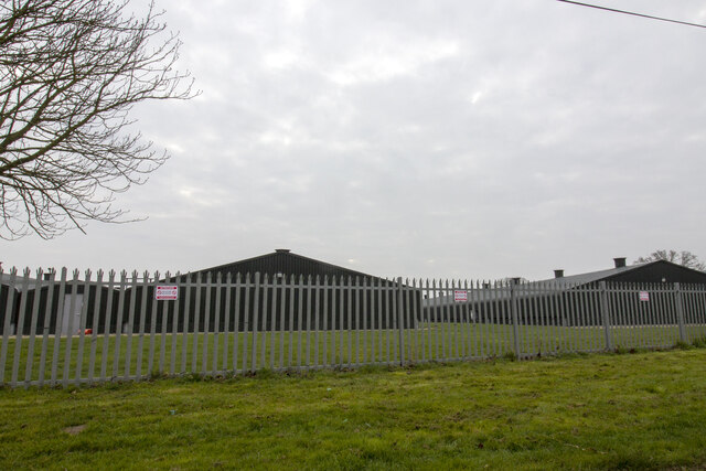
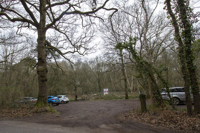
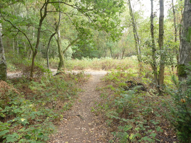
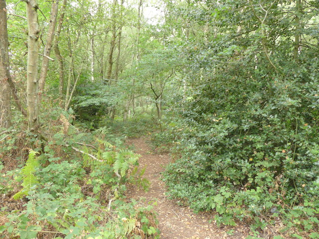
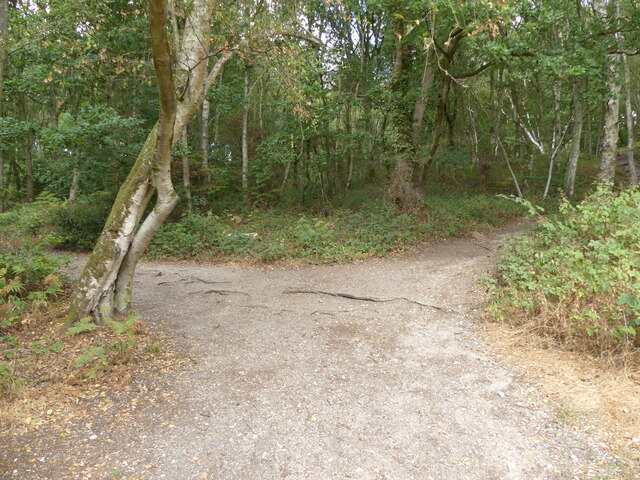
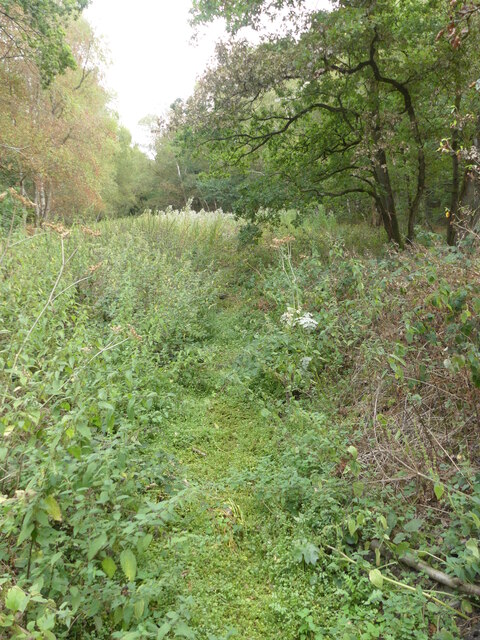
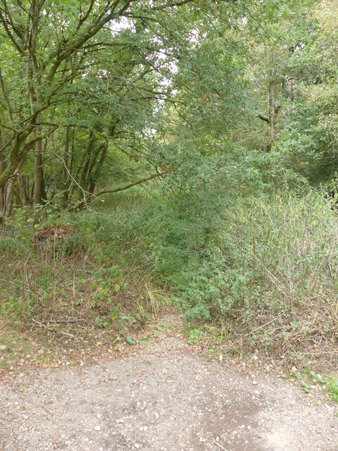
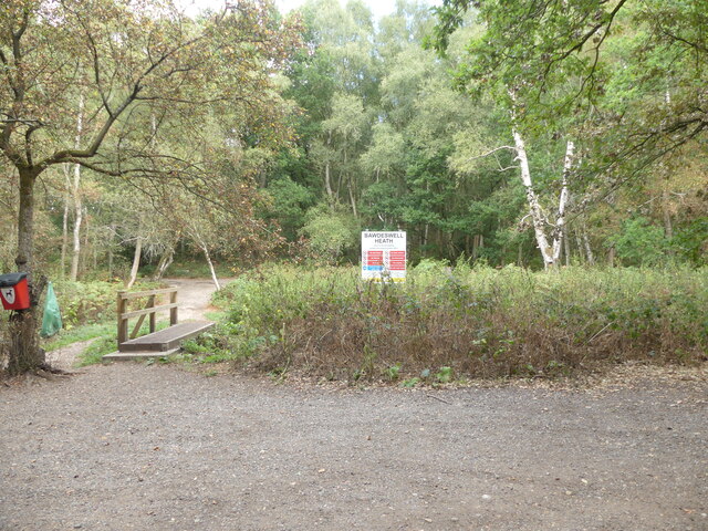
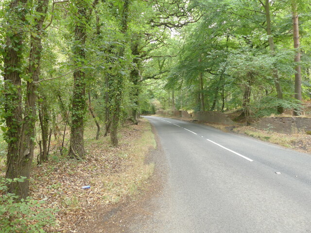
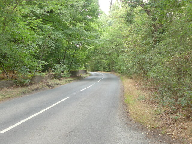
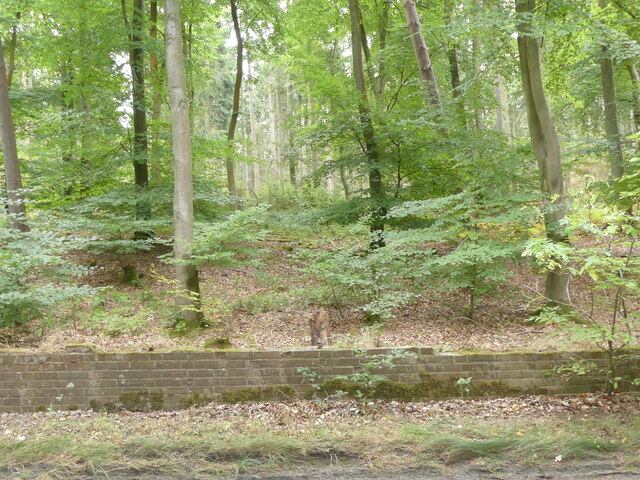
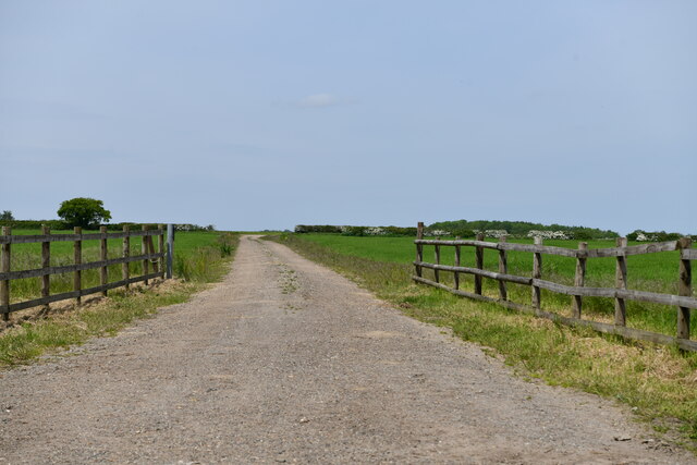
Nature lovers will appreciate the surrounding countryside, with plenty of opportunities for walking, cycling, and exploring the nearby woodlands. The village is also conveniently located for accessing the Norfolk coast, which is approximately 30 kilometers to the north.
Overall, Bawdeswell offers a tranquil and idyllic lifestyle, making it an attractive place to live for those seeking a peaceful retreat away from the hustle and bustle of city life.
If you have any feedback on the listing, please let us know in the comments section below.
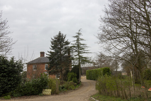
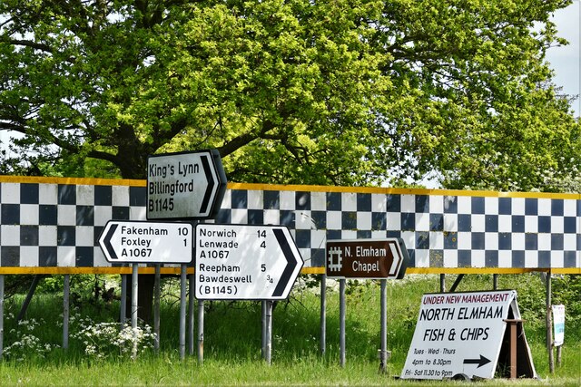
Bawdeswell Images
Images are sourced within 2km of 52.745281/1.030321 or Grid Reference TG0420. Thanks to Geograph Open Source API. All images are credited.
Bawdeswell is located at Grid Ref: TG0420 (Lat: 52.745281, Lng: 1.030321)
Administrative County: Norfolk
District: Breckland
Police Authority: Norfolk
What 3 Words
///orbited.cascaded.potato. Near Foulsham, Norfolk
Nearby Locations
Related Wikis


Nearby Amenities
Located within 500m of 52.745281,1.030321Have you been to Bawdeswell?
Leave your review of Bawdeswell below (or comments, questions and feedback).