Rhaglan

Community in Monmouthshire

Wales

Rhaglan

Brace Farm Pictured from the Llandenny Road.
The house 'Bracelands' is the subject of my First geograph for this gridsquare from December 2006; <a href="https://www.geograph.org.uk/photo/299829">SO4204 : Bracelands</a>. Note the conifers on the old photo have been removed.
Brace Farm Credit: Jonathan Billinger

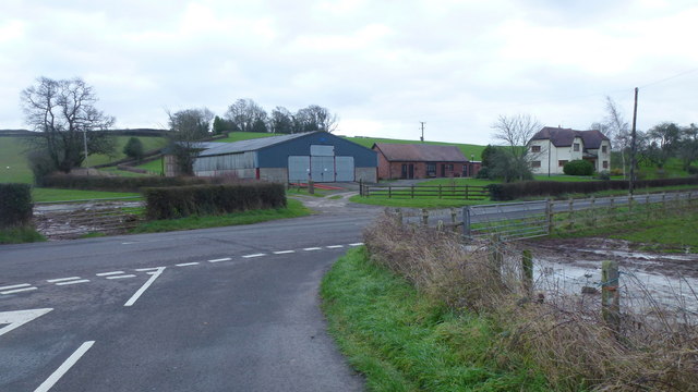
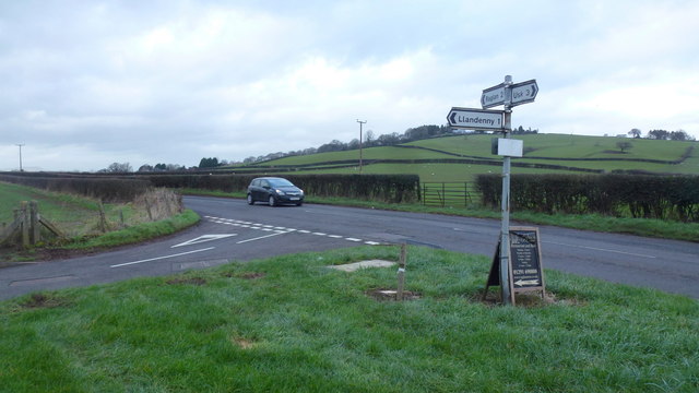
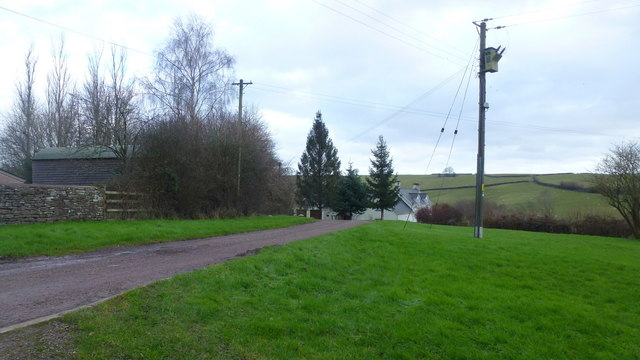
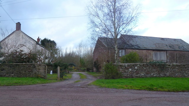
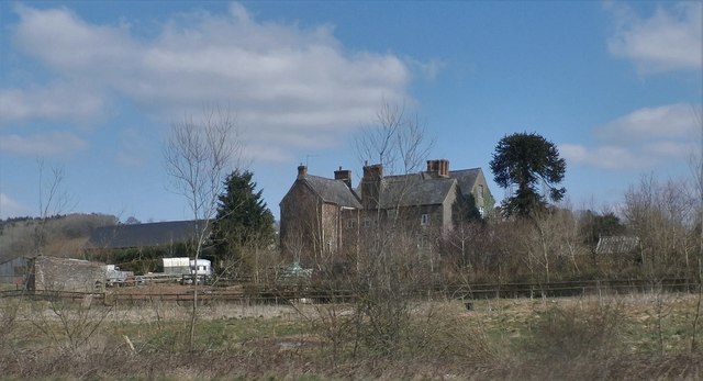
Rhaglan is a small community located in Monmouthshire, Wales. Situated in the southeastern part of the county, it lies approximately 10 miles southwest of Monmouth and 15 miles east of Abergavenny. The community is nestled in the beautiful countryside, surrounded by rolling hills and lush green landscapes.

Rhaglan is best known for its historic castle, which dates back to the 15th century. Rhaglan Castle is a magnificent structure, boasting a unique blend of medieval and Tudor architecture. The castle's imposing towers, grand halls, and beautifully landscaped gardens attract visitors from near and far.

In addition to its historical significance, Rhaglan offers a range of amenities and facilities for residents and visitors. The community has a primary school, a village hall, a post office, and a few local shops. There are also several pubs and restaurants, providing a cozy and friendly atmosphere for socializing and dining.

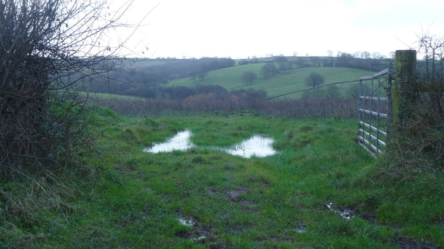
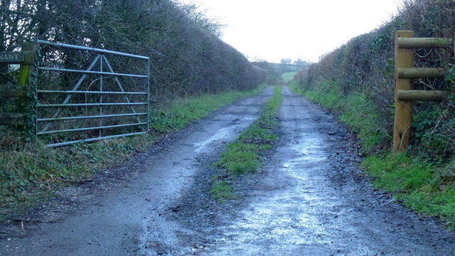
The surrounding countryside provides ample opportunities for outdoor activities, such as hiking, cycling, and horseback riding. The area is known for its scenic trails and picturesque views, making it a popular destination for nature enthusiasts.

Overall, Rhaglan is a charming community that seamlessly combines history, natural beauty, and modern conveniences. Whether exploring the medieval castle, enjoying the tranquility of the countryside, or immersing oneself in the welcoming local atmosphere, Rhaglan offers a delightful experience for all who visit.

If you have any feedback on the listing, please let us know in the comments section below.
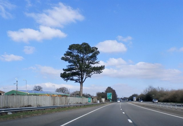
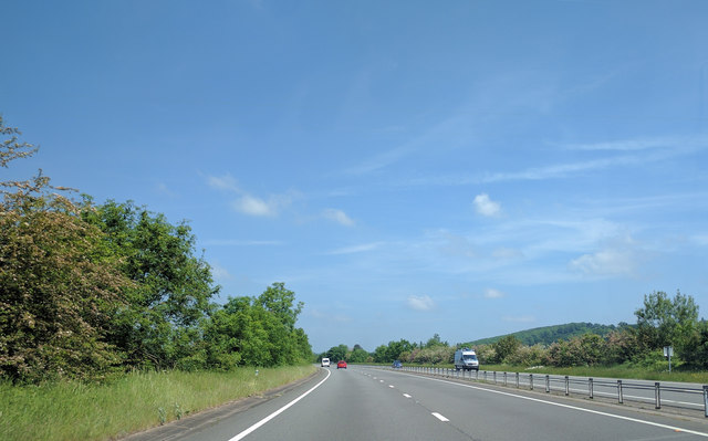
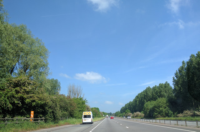
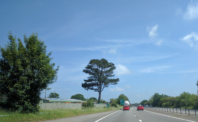
Rhaglan Images

Images are sourced within 2km of 51.750994/-2.83645 or Grid Reference SO4206. Thanks to Geograph Open Source API. All images are credited.

Brace Farm Pictured from the Llandenny Road.
The house 'Bracelands' is the subject of my First geograph for this gridsquare from December 2006; <a href="https://www.geograph.org.uk/photo/299829">SO4204 : Bracelands</a>. Note the conifers on the old photo have been removed.
Brace Farm
Pictured from the Llandenny Road. The house 'Bracelands' is the subject of my First geograph for this gridsquare from December 2006; SO4204 : Bracelands. Note the conifers on the old photo have been removed.
Signpost in a grass triangle The post reads Llandenny 1, Raglan 2, Usk 3. the A frame sign is for the Raglan Arms, in Llandenny.
Signpost in a grass triangle
The post reads Llandenny 1, Raglan 2, Usk 3. the A frame sign is for the Raglan Arms, in Llandenny.
Lower Kingcoed A small piece of common land to the right.
Lower Kingcoed
A small piece of common land to the right.
House and barns At Lower Kingcoed.
House and barns
At Lower Kingcoed.
Towards Glan-y-nant Unlike my first Geograph for this gridsquare, <a href="https://www.geograph.org.uk/photo/338293">SO4306 : Glan-y-nant</a>, the farm was discernible through the trees.
Like that first photo, the image is just as poor; blame it on the rain!
Towards Glan-y-nant
Unlike my first Geograph for this gridsquare, SO4306 : Glan-y-nant, the farm was discernible through the trees. Like that first photo, the image is just as poor; blame it on the rain!
Farm track Private track to Glan-y-nant.
Farm track
Private track to Glan-y-nant.
Layby on the A449
Layby on the A449
Tre-worgan Manor Farm
A449 South of Raglan
A449 at Raglan
A449 at Raglan
On the A449 heading north
Heading north on the A449
The A449 near Raglan, heading north
Lay-by on northbound A449 north of Llandenny
Minor road crossing A449 west of Kingcoed
Lay-by by A449 northbound with trees in a cutting The road runs through a very shallow cutting.  These trees screen a golf course
Lay-by by A449 northbound with trees in a cutting
The road runs through a very shallow cutting. These trees screen a golf course
Advance sign for junction of A449 with A40
Emergency access point for A449 near Raglan
Show me another place!

Rhaglan is located at Grid Ref: SO4206 (Lat: 51.750994, Lng: -2.83645)

Unitary Authority: Monmouthshire

Police Authority: Gwent

Also known as: Raglan

What 3 Words

///unrated.tenders.opponent. Near Raglan, Monmouthshire

Related Wikis

Raglan Road Crossing Halt railway station

Raglan Road Crossing Halt was a station on the former Coleford, Monmouth, Usk and Pontypool Railway. It was opened in November 1930 on the approximate...

Treworgan Manor, Llansoy

Treworgan Manor, Llansoy, Monmouthshire is a country house dating from the early 18th century. Its origins are older, from the 16th century. Long in the...

Raglan Footpath railway station

Raglan Footpath was a station on the former Coleford, Monmouth, Usk and Pontypool Railway. It was opened in October 1857 with the rest of the line and...

Raglan railway station

Raglan railway station was a station on the Coleford, Monmouth, Usk and Pontypool Railway. It was not opened when the line was originally built, but constructed...

Nearby Amenities

Located within 500m of 51.750994,-2.83645
Monmouthshire
Gns Classification: ADM1
Gns Uni: 6086956
Is In: Wales
Is In Country: United Kingdom
Is In Country Code: GB
Name Cy: Sir Fynwy
Place: county
Source: GNS
Lat/Long: 51.7501058/-2.8333331
Parking
Fee: no
Note: Layby
Parking: surface
Source: Bing;survey
Lat/Long: 51.7534741/-2.8424884
Power: tower
Lat/Long: 51.7479468/-2.8412989
Power: tower
Lat/Long: 51.7488933/-2.8408724
Power: tower
Lat/Long: 51.7508046/-2.8400731
Power: tower
Lat/Long: 51.7526893/-2.8392604
Power: tower
Lat/Long: 51.7537818/-2.8369135
Power: tower
Lat/Long: 51.7548461/-2.8347221
Parking
Source: Bing
Lat/Long: 51.7536342/-2.8420738
The data included in this document is from www.openstreetmap.org. The data is made available under ODbL.

Have you been to Rhaglan?

Leave your review of Rhaglan below (or comments, questions and feedback).