Llangurig

Community in Montgomeryshire

Wales

Llangurig

Farm Bailey Bridge over River Wye The farmer depended on this unknown bridge.
Farm Bailey Bridge over River Wye Credit: pablo haworth

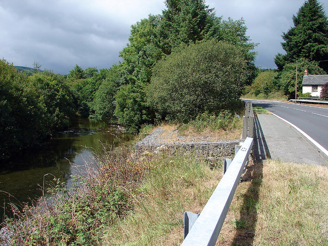
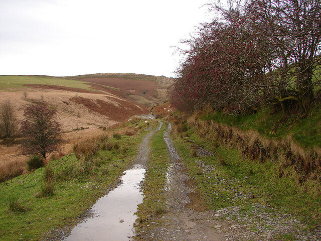
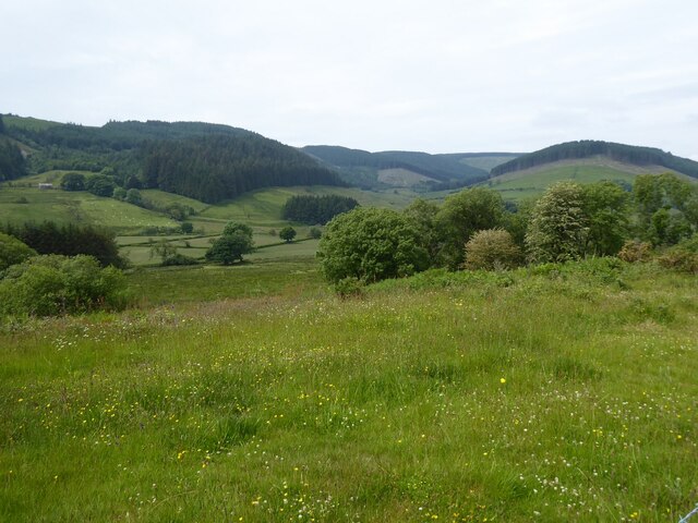
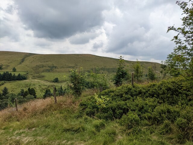
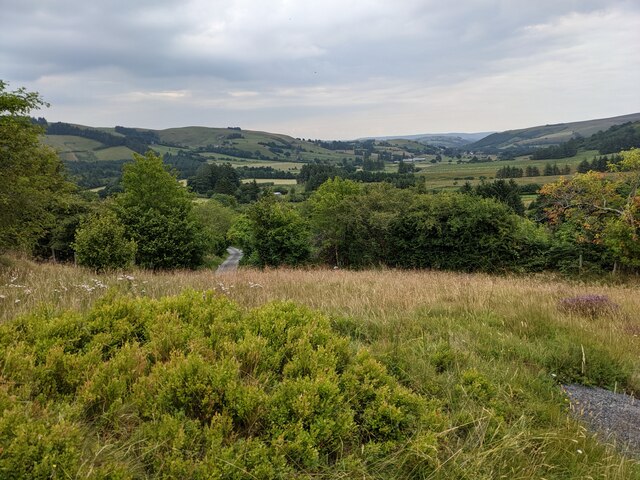
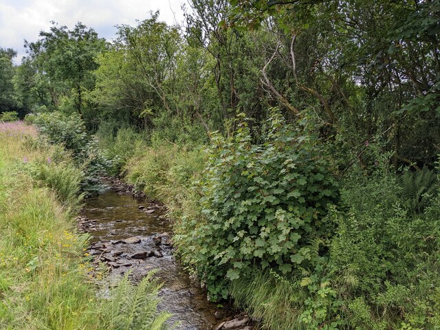
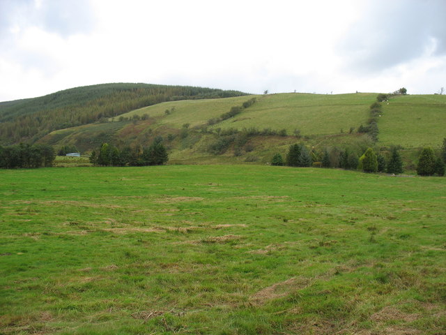
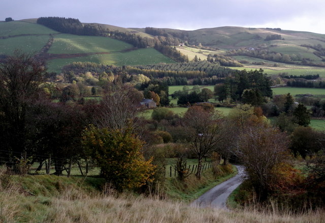
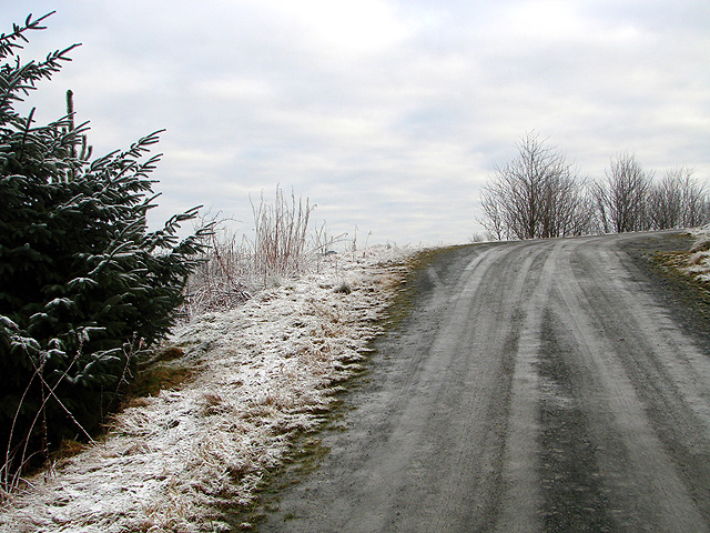
Llangurig is a small community located in Montgomeryshire, Wales. It is situated on the River Wye and is surrounded by beautiful countryside, making it a popular destination for outdoor enthusiasts. The village itself is quaint and charming, with traditional stone buildings and a historic church dating back to the 13th century.

Llangurig has a rich history, with evidence of human settlement in the area dating back to the Bronze Age. The village was an important stopping point on the drovers' route, where cattle and sheep were driven to markets in England.

Today, Llangurig is a peaceful and picturesque village, with a small population of around 400 residents. The community is close-knit and friendly, with a strong sense of community spirit. There are a few amenities in the village, including a pub, post office, and a primary school.

Overall, Llangurig is a charming and historic village that offers a peaceful and idyllic setting for those looking to escape the hustle and bustle of city life.

If you have any feedback on the listing, please let us know in the comments section below.
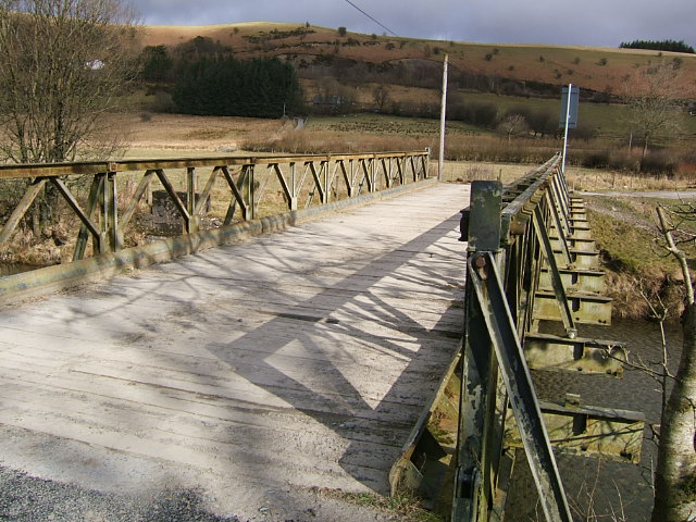
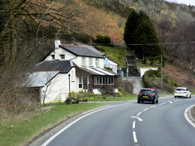
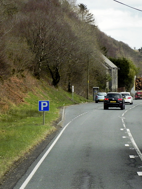
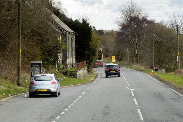
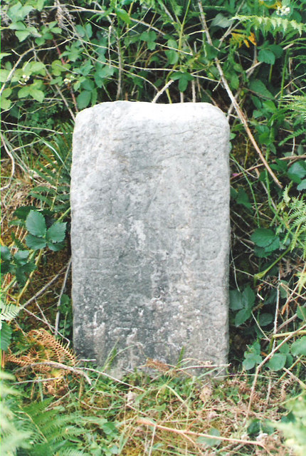
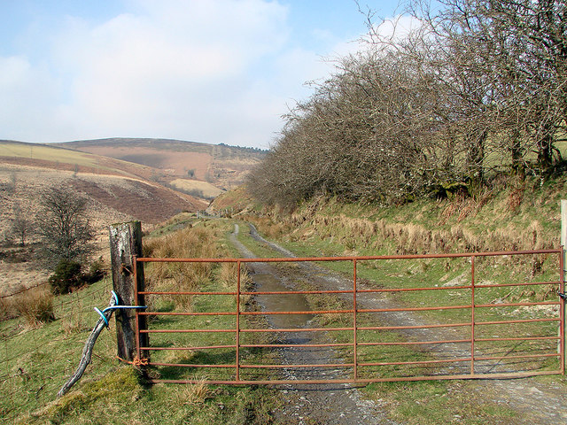
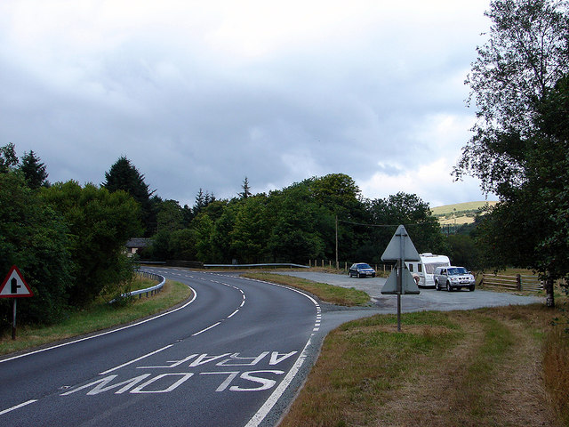
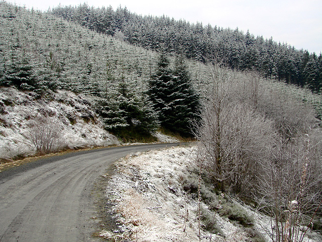
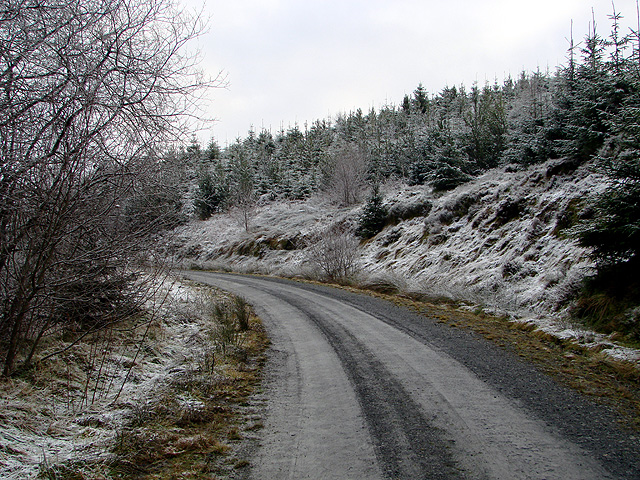
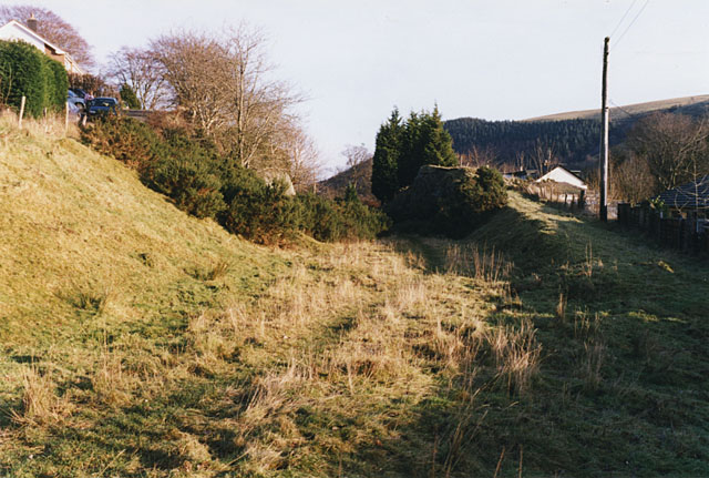
Llangurig Images

Images are sourced within 2km of 52.421394/-3.64478 or Grid Reference SN8881. Thanks to Geograph Open Source API. All images are credited.

Farm Bailey Bridge over River Wye The farmer depended on this unknown bridge.
Farm Bailey Bridge over River Wye
The farmer depended on this unknown bridge.
Eastbound A44, Penlon The A44 is a major road in the United Kingdom that runs for 155 miles from Oxford in southern England to Aberystwyth in west Wales.
<span class="nowrap"><a title="http://www.sabre-roads.org.uk/wiki/index.php?title=A44" rel="nofollow ugc noopener" href="http://www.sabre-roads.org.uk/wiki/index.php?title=A44">Link</a><img style="margin-left:2px;" alt="External link" title="External link - shift click to open in new window" src="https://s1.geograph.org.uk/img/external.png" width="10" height="10"/></span>  SABRE
<span class="nowrap"><a title="https://en.wikipedia.org/wiki/A44_road" rel="nofollow ugc noopener" href="https://en.wikipedia.org/wiki/A44_road">Link</a><img style="margin-left:2px;" alt="External link" title="External link - shift click to open in new window" src="https://s1.geograph.org.uk/img/external.png" width="10" height="10"/></span>  Wikipedia
Eastbound A44, Penlon
The A44 is a major road in the United Kingdom that runs for 155 miles from Oxford in southern England to Aberystwyth in west Wales. LinkExternal link SABRE LinkExternal link Wikipedia
Layby on Eastbound A44 near Tynllechwedd The A44 is a major road in the United Kingdom that runs for 155 miles from Oxford in southern England to Aberystwyth in west Wales.
<span class="nowrap"><a title="http://www.sabre-roads.org.uk/wiki/index.php?title=A44" rel="nofollow ugc noopener" href="http://www.sabre-roads.org.uk/wiki/index.php?title=A44">Link</a><img style="margin-left:2px;" alt="External link" title="External link - shift click to open in new window" src="https://s1.geograph.org.uk/img/external.png" width="10" height="10"/></span>  SABRE
<span class="nowrap"><a title="https://en.wikipedia.org/wiki/A44_road" rel="nofollow ugc noopener" href="https://en.wikipedia.org/wiki/A44_road">Link</a><img style="margin-left:2px;" alt="External link" title="External link - shift click to open in new window" src="https://s1.geograph.org.uk/img/external.png" width="10" height="10"/></span>  Wikipedia
Layby on Eastbound A44 near Tynllechwedd
The A44 is a major road in the United Kingdom that runs for 155 miles from Oxford in southern England to Aberystwyth in west Wales. LinkExternal link SABRE LinkExternal link Wikipedia
Telephone Kiosk next to the A44, Tynllechwedd The A44 is a major road in the United Kingdom that runs for 155 miles from Oxford in southern England to Aberystwyth in west Wales.
<span class="nowrap"><a title="http://www.sabre-roads.org.uk/wiki/index.php?title=A44" rel="nofollow ugc noopener" href="http://www.sabre-roads.org.uk/wiki/index.php?title=A44">Link</a><img style="margin-left:2px;" alt="External link" title="External link - shift click to open in new window" src="https://s1.geograph.org.uk/img/external.png" width="10" height="10"/></span>  SABRE
<span class="nowrap"><a title="https://en.wikipedia.org/wiki/A44_road" rel="nofollow ugc noopener" href="https://en.wikipedia.org/wiki/A44_road">Link</a><img style="margin-left:2px;" alt="External link" title="External link - shift click to open in new window" src="https://s1.geograph.org.uk/img/external.png" width="10" height="10"/></span>  Wikipedia
Telephone Kiosk next to the A44, Tynllechwedd
The A44 is a major road in the United Kingdom that runs for 155 miles from Oxford in southern England to Aberystwyth in west Wales. LinkExternal link SABRE LinkExternal link Wikipedia
Old Milestone by the A44, Dyffryn Gwy/Wye Valley By the A44, in parish of Llangurig (Powys District), West of Plas Bull, Dyffryn Gwy/Wye Valley, on verge.

Inscription is unclear but it seems to have pointing hands, and Old-maps records the mileages:- : LLANIDLOES / 7 / ABERYSTWYTH / 22½ : 

Surveyed

Milestone Society National ID: MOT_LIAY07.
Old Milestone by the A44, Dyffryn Gwy/Wye Valley
By the A44, in parish of Llangurig (Powys District), West of Plas Bull, Dyffryn Gwy/Wye Valley, on verge. Inscription is unclear but it seems to have pointing hands, and Old-maps records the mileages:- : LLANIDLOES / 7 / ABERYSTWYTH / 22½ : Surveyed Milestone Society National ID: MOT_LIAY07.
This way to Hafren A right of way leading to the Hafren Forest through Cwm Bidno. Although the gate is chained shut, there is pedestrian access through a gate out of view on the right.
This way to Hafren
A right of way leading to the Hafren Forest through Cwm Bidno. Although the gate is chained shut, there is pedestrian access through a gate out of view on the right.
A44 lay-by  Near Llangurig.
A44 lay-by
Near Llangurig.
Afon Gwy beside the A44 At Aber-bidno, the point of confluence between the Gwy and  the Bidno.
Afon Gwy beside the A44
At Aber-bidno, the point of confluence between the Gwy and the Bidno.
Right of way through Cwm Bidno Leading into the Hafren Forest.
Right of way through Cwm Bidno
Leading into the Hafren Forest.
Wye valley west of Llangurig The Wye valley viewed from a layby on the A44 to the west of Llangurig.
Wye valley west of Llangurig
The Wye valley viewed from a layby on the A44 to the west of Llangurig.
Looking towards Esgair Llwyn-gwyn
Grassland near Troed-yr-esgair
Nant Hirnant at Troed-yr-esgair Troed-yr-esgair means 'foot of the ridge'.
Nant Hirnant at Troed-yr-esgair
Troed-yr-esgair means 'foot of the ridge'.
The country west of Llangurig
Lane with Wye valley view Above Troed-yr-Esgair.
Lane with Wye valley view
Above Troed-yr-Esgair.
Forestry road on Esgair Ychion
Forestry Road on Esgair Ychion
Show me another place!

Llangurig is located at Grid Ref: SN8881 (Lat: 52.421394, Lng: -3.64478)

Unitary Authority: Powys

Police Authority: Dyfed Powys

What 3 Words

///pose.polygraph.compounds. Near Llanidloes, Powys

Nearby Locations

Llangurig

Related Wikis

Llangurig railway station

Llangurig railway station was intended to serve the village and rural locale of Llangurig in the Welsh county of Powys. The station, which was on the Llangurig...

Llangurig branch

The Llangurig branch was a part of a proposed scheme by the Manchester and Milford Railway (M&MR) to connect industrialised Northwest England with the...

Llangurig

Llangurig is both a village and a community in Montgomeryshire, Powys, Wales. The population was 723 in the 2011 UK Census. The community includes the...

Blaen-y-glyn

Blaen-y-glyn is an area in the community of Llangurig, Powys, Wales, which is 67 miles (108 km) from Cardiff and 160 miles (258 km) from London. Cadw-listed...

Nearby Amenities

Located within 500m of 52.421394,-3.64478
The data included in this document is from www.openstreetmap.org. The data is made available under ODbL.

Have you been to Llangurig?

Leave your review of Llangurig below (or comments, questions and feedback).