Betws yn Rhos

Community in Denbighshire

Wales

Betws yn Rhos

Dolwen junction Houses at the junction of B5383 and B5381 at Dolwen
Dolwen junction Credit: Dot Potter

Betws yn Rhos is a small community located in the county of Denbighshire, Wales. It is nestled in the picturesque countryside, surrounded by rolling hills and lush green fields. The community is situated approximately 5 miles northeast of Abergele and 10 miles southwest of Denbigh.

Betws yn Rhos has a rich history dating back centuries, with evidence of human settlement in the area since the Bronze Age. The community is home to several notable historical landmarks, including the St. Michael's Church, a Grade II listed building dating back to the 13th century. The church is known for its beautiful stained glass windows and is a popular tourist attraction.

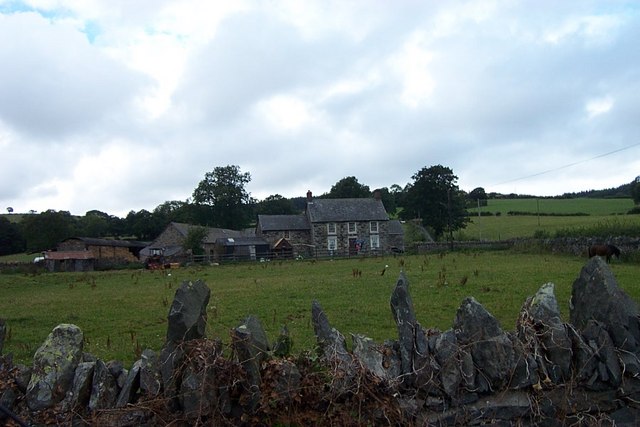
The community has a close-knit and friendly atmosphere, with a population of around 800 residents. It offers a range of amenities and services to cater to the needs of its residents, including a primary school, a village hall, and a small convenience store. There are also several pubs and restaurants in the area, providing a place for locals and visitors to socialize and enjoy traditional Welsh cuisine.

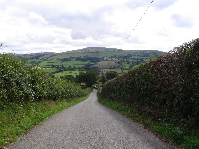
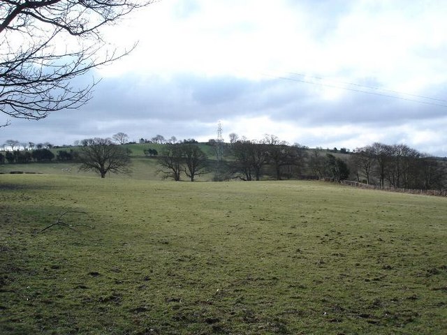
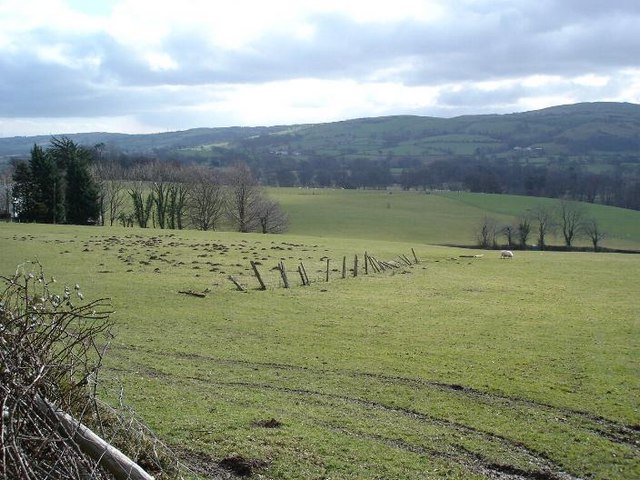
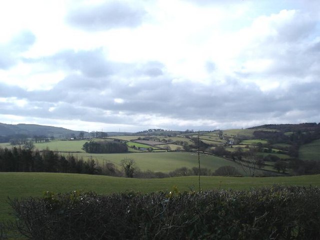
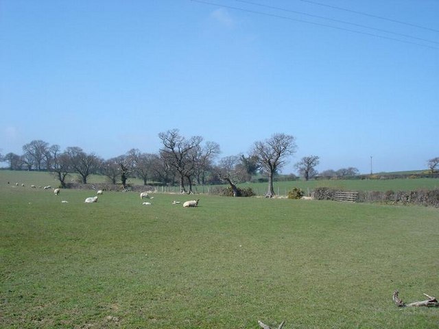
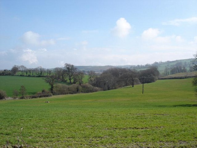
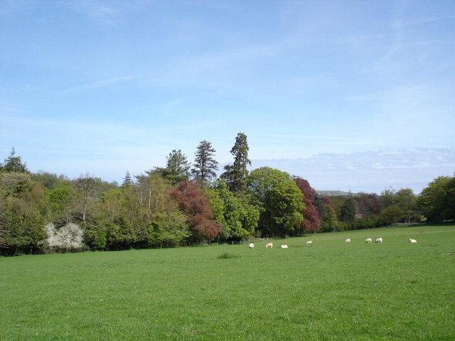
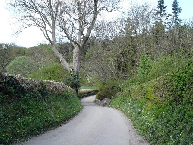
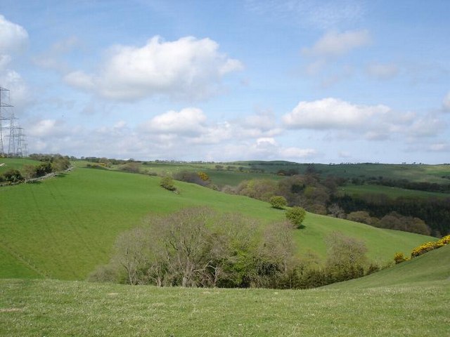
Betws yn Rhos is surrounded by natural beauty, making it an ideal location for outdoor enthusiasts. The community is located near the Clwydian Range, an Area of Outstanding Natural Beauty, offering stunning views and numerous hiking trails. It is also within close proximity to the coast, with beautiful sandy beaches just a short drive away.

If you have any feedback on the listing, please let us know in the comments section below.

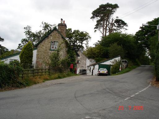
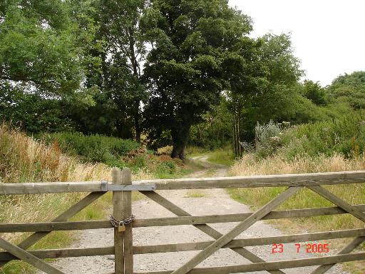
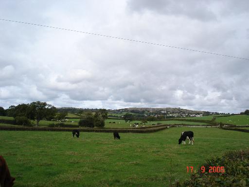
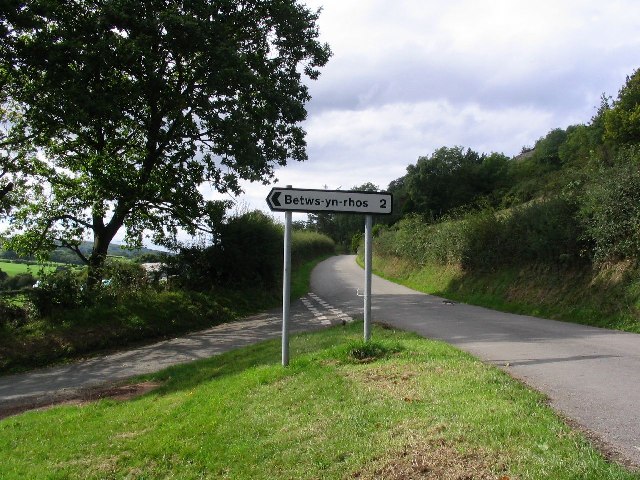
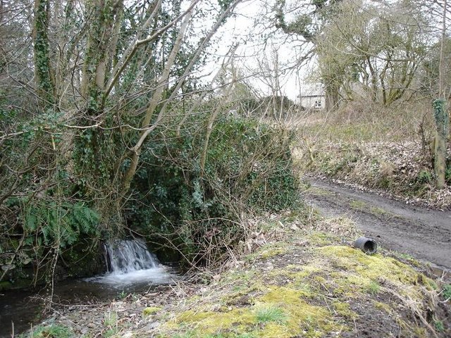
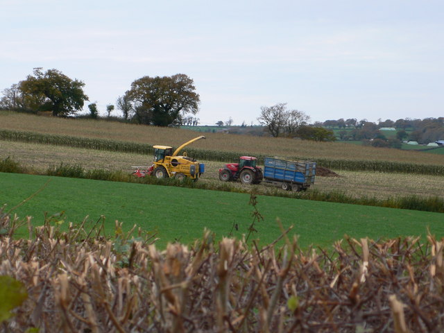
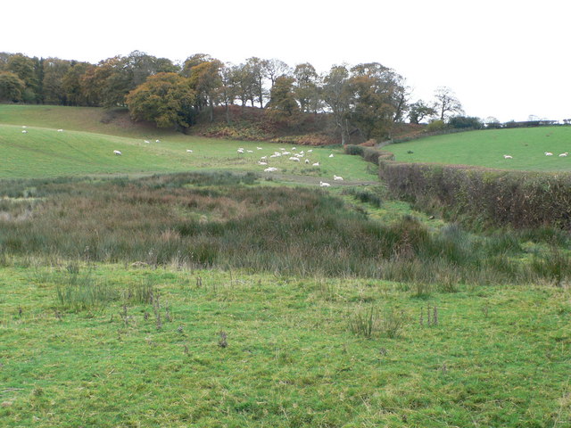
Betws yn Rhos Images

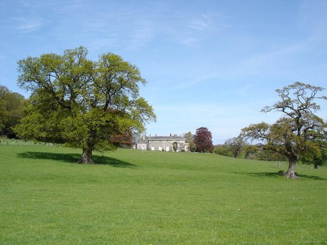
Images are sourced within 2km of 53.251658/-3.679529 or Grid Reference SH8874. Thanks to Geograph Open Source API. All images are credited.

Dolwen junction Houses at the junction of B5383 and B5381 at Dolwen
Dolwen junction
Houses at the junction of B5383 and B5381 at Dolwen
Farm track near Dolwen A gated farm track near the village of Dolwen
Farm track near Dolwen
A gated farm track near the village of Dolwen
View over farmland View over fields of farmland with the village of Llysfaen in the distance
View over farmland
View over fields of farmland with the village of Llysfaen in the distance
Road Junction and Squirrels This picture was taken looking west along the B5381 from sh866750. If you look closely there are three squirrels also featured in this image.
Road Junction and Squirrels
This picture was taken looking west along the B5381 from sh866750. If you look closely there are three squirrels also featured in this image.
B5383 This picture taken from SH 885 749 looking SE.
B5383
This picture taken from SH 885 749 looking SE.
Bryncar Farmland at Bryncar to the west of Betws yn Rhos
Bryncar
Farmland at Bryncar to the west of Betws yn Rhos
Gwyndy Remote cottage and stream at Gwyndy
Gwyndy
Remote cottage and stream at Gwyndy
Dolwen countryside To the west of Dowlen looking over farmland to the hills
Dolwen countryside
To the west of Dowlen looking over farmland to the hills
Farmland near Dolwen Looking South from the B5381
Farmland near Dolwen
Looking South from the B5381
Dolwen farmland
Dolwen farmland
Fields near Dolwen
Fields near Dolwen
Dolwen fields Sheep grazing fields bordered by woods near Dolwen
Dolwen fields
Sheep grazing fields bordered by woods near Dolwen
Coed Coch lane One of many single track lanes that criss cross the area between farms and small hamlets
Coed Coch lane
One of many single track lanes that criss cross the area between farms and small hamlets
Coed Coch View over the parkland to the manor house
Coed Coch
View over the parkland to the manor house
Mynydd Glyn Lws Fields and valley on the edge of Mynydd Glyn Lws
Mynydd Glyn Lws
Fields and valley on the edge of Mynydd Glyn Lws
Tyn-y-wal farm Tyn-y-wal farm lies about two kilometres North-northeast of Trofarth above Colwyn Bay at grid reference SH86627358. The photo was taken from the minor road junction looking due West.
Tyn-y-wal farm
Tyn-y-wal farm lies about two kilometres North-northeast of Trofarth above Colwyn Bay at grid reference SH86627358. The photo was taken from the minor road junction looking due West.
Still cutting maize in Betws-yn-Rhos
Hillside west of Betws-yn-Rhos Poor boggy grazing land here.
Hillside west of Betws-yn-Rhos
Poor boggy grazing land here.
Show me another place!

Betws yn Rhos is located at Grid Ref: SH8874 (Lat: 53.251658, Lng: -3.679529)

Unitary Authority: Conwy

Police Authority: North Wales

Also known as: Betws Yn Rhos

What 3 Words

///strike.supplied.pelt. Near Llysfaen, Conwy

Related Wikis

Coed Coch

Coed Coch, in Dolwen, Conwy, Wales, is a large 19th-century mansion in the neoclassical style, designed by the architect Henry Hakewill. The building...

Betws yn Rhos

Betws yn Rhos (English: Chapel house in Rhos) is a village and community in Conwy County Borough, Wales. Betws yn Rhos is located about 5 miles (8.0 km...

Moelfre Uchaf

Moelfre Uchaf is a hill in the borough of Conwy, North Wales, 5 miles (8.0 km) south-east of Colwyn Bay and 1.5 mi (2.4 km) south-west of Betws-yn-Rhos...

Llysfaen

Llysfaen is a village and community in Conwy County Borough overlooking the north coast of Wales, and situated on the hill Mynydd Marian. For local government...

Nearby Amenities

Located within 500m of 53.251658,-3.679529
Coed Coch
Place: isolated_dwelling
Lat/Long: 53.2512388/-3.6784178
Place: farm
Lat/Long: 53.2515983/-3.6819047
Place: farm
Lat/Long: 53.2544483/-3.6836213
Power: pole
Lat/Long: 53.2521943/-3.679008
Power: pole
Lat/Long: 53.2525794/-3.6783535
Power: pole
Lat/Long: 53.2528458/-3.6780987
Power: pole
Lat/Long: 53.2531619/-3.6769749
Power: pole
Lat/Long: 53.2518539/-3.6789359
The data included in this document is from www.openstreetmap.org. The data is made available under ODbL.

Have you been to Betws yn Rhos?

Leave your review of Betws yn Rhos below (or comments, questions and feedback).