Yaxham
Settlement in Norfolk Breckland
England
Yaxham
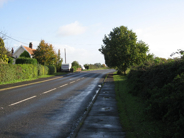
Yaxham is a picturesque village located in the county of Norfolk, England. Situated approximately 2 miles south of the market town of Dereham, Yaxham is a small yet thriving community with a rich history and beautiful surroundings.
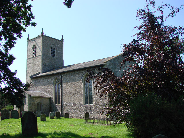
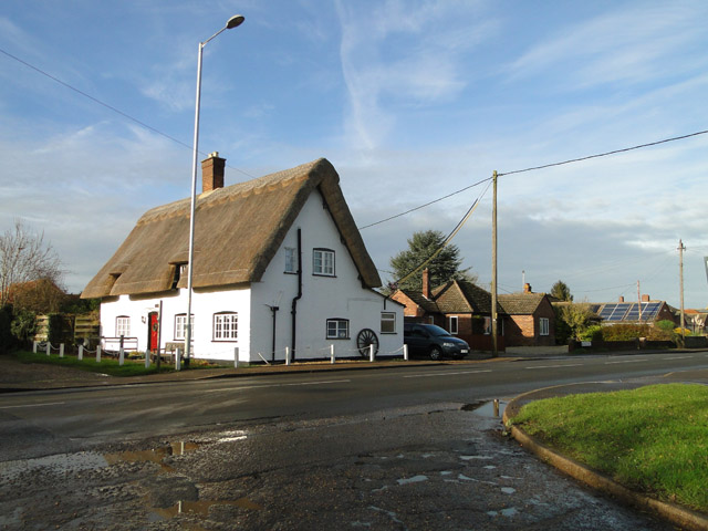
The village is renowned for its charming architecture, featuring a mix of traditional thatched-roof cottages, Georgian houses, and modern dwellings. The centerpiece of Yaxham is the magnificent All Saints' Church, a Grade II listed building that dates back to the 13th century. The church is known for its impressive stained glass windows and intricate stonework.
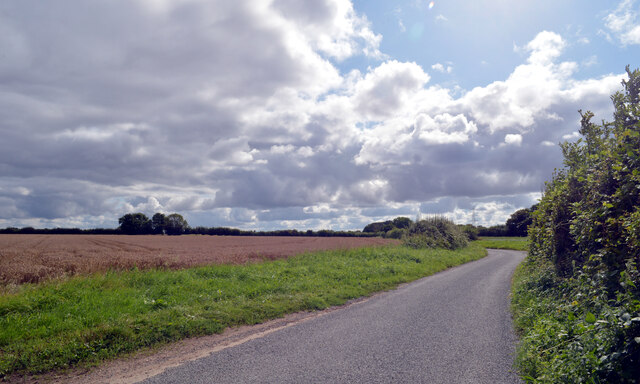
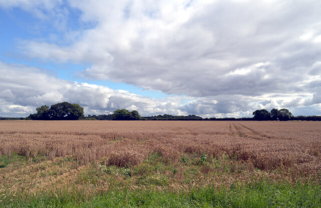
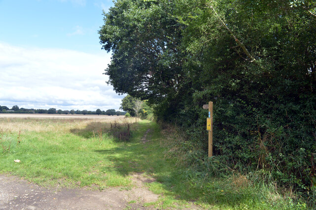
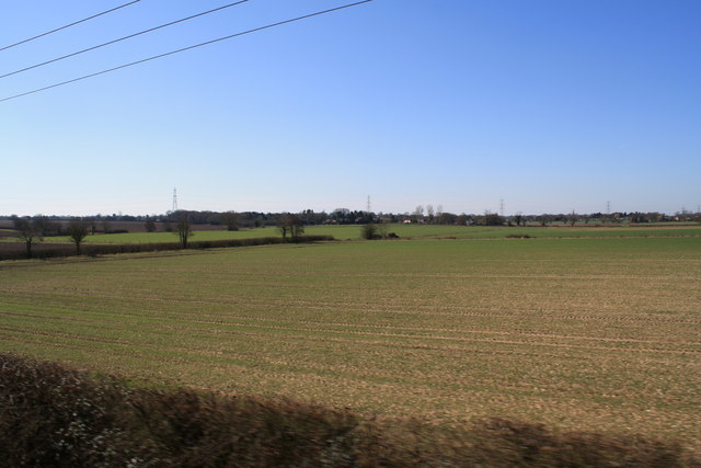
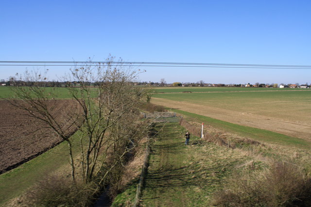
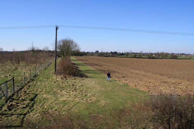
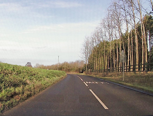
Yaxham is surrounded by rolling fields and lush countryside, making it an ideal location for nature enthusiasts and outdoor activities. The village is home to several walking and cycling trails, allowing visitors to explore the stunning landscapes and enjoy the tranquility of rural Norfolk. The nearby Yaxham Waters Holiday Park offers fishing lakes and camping facilities, providing a popular destination for tourists.
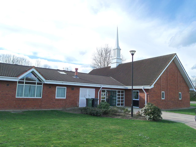
In terms of amenities, Yaxham offers a range of local services, including a primary school, a post office, a village hall, and a pub. The village also hosts various community events throughout the year, such as the Yaxham Village Fête and the Yaxham Music Festival, which attract both residents and visitors from surrounding areas.
Overall, Yaxham is a delightful village that combines historical charm, natural beauty, and a strong sense of community. Whether exploring its architectural treasures, enjoying the surrounding countryside, or participating in local events, visitors to Yaxham are sure to be captivated by its unique character and warm atmosphere.
If you have any feedback on the listing, please let us know in the comments section below.
Yaxham Images
Images are sourced within 2km of 52.655423/0.962741 or Grid Reference TG0010. Thanks to Geograph Open Source API. All images are credited.
Yaxham is located at Grid Ref: TG0010 (Lat: 52.655423, Lng: 0.962741)
Administrative County: Norfolk
District: Breckland
Police Authority: Norfolk
What 3 Words
///inner.blown.rent. Near East Dereham, Norfolk
Nearby Locations
Related Wikis

Yaxham
Yaxham is a village and civil parish in centre of the English county of Norfolk. The parish includes the village of Yaxham, together with the neighbouring...

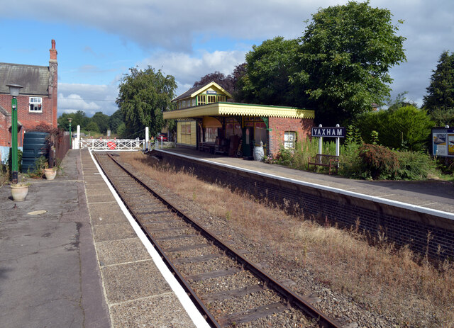
Yaxham Light Railway
Yaxham Light Railway is a 2 ft (610 mm) narrow gauge light railway (heritage railway) situated adjacent to Yaxham railway station on the Mid-Norfolk Railway...
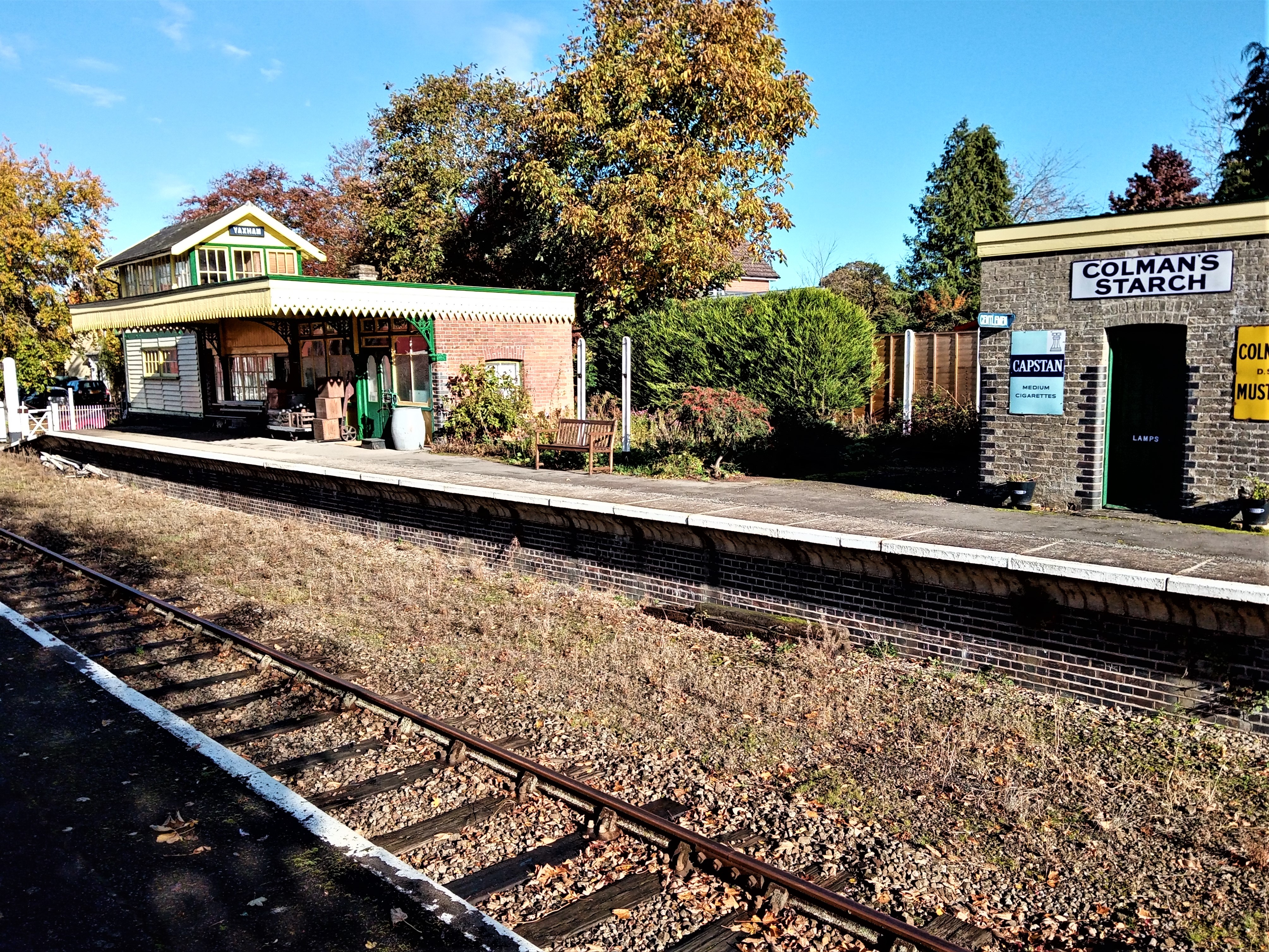
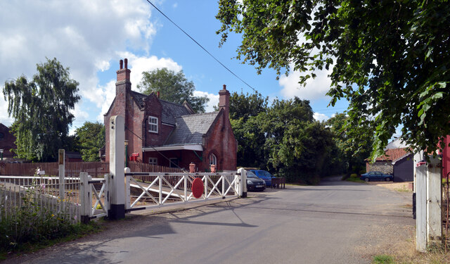
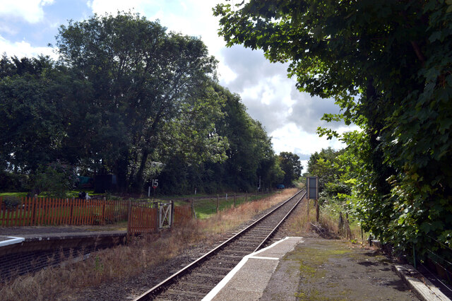
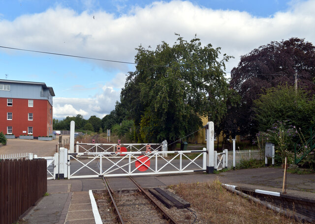
Yaxham railway station
Yaxham is a railway station in the village of Yaxham in the English county of Norfolk. The station is served by heritage services operated by the Mid-Norfolk...
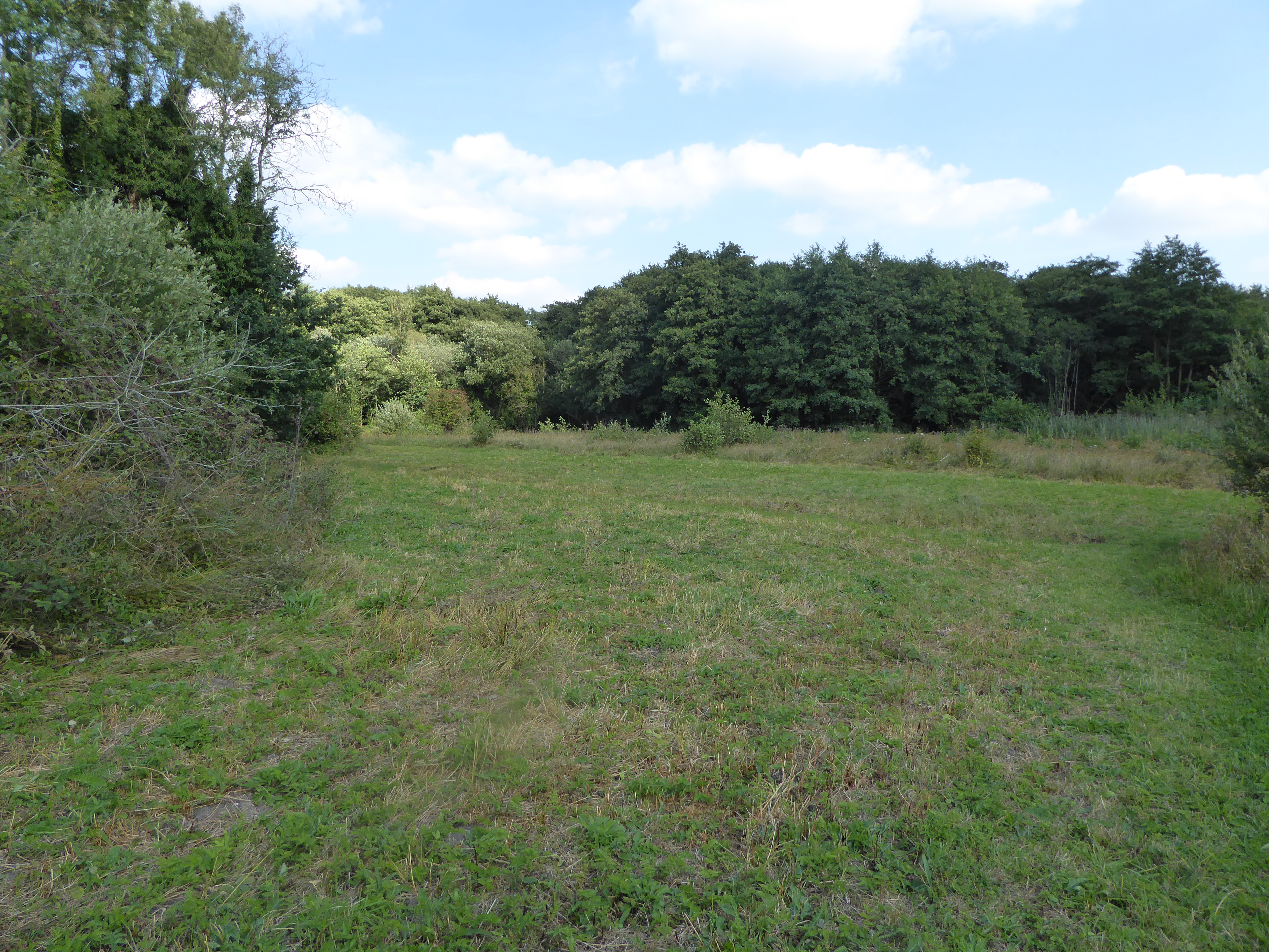
Lolly Moor
Lolly Moor is a 3-hectare (7.4-acre) nature reserve south of Dereham in Norfolk. It is managed by the Norfolk Wildlife Trust.This site has wet grassland...
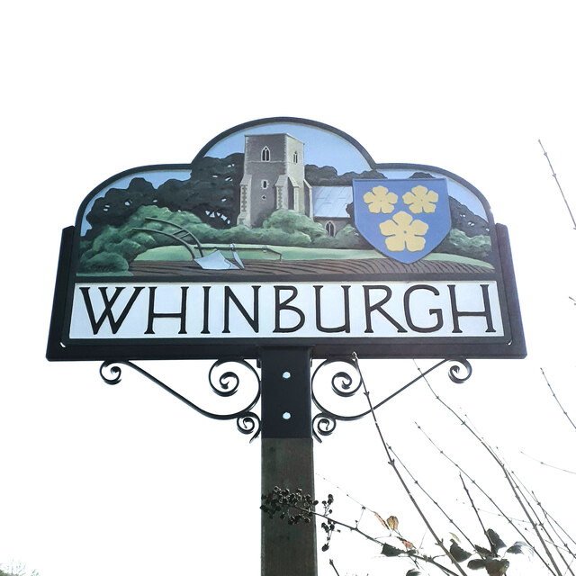
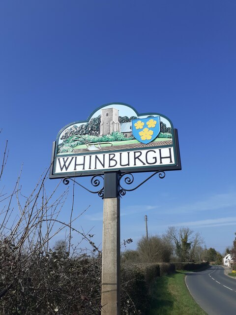
Whinburgh and Westfield
Whinburgh and Westfield is a civil parish in the English county of Norfolk. It covers an area of 7.56 km2 (2.92 sq mi) and had a population of 307 in 134...

Badley Moor
Badley Moor is an 18.3-hectare (45-acre) biological Site of Special Scientific Interest east of Dereham in Norfolk. It is part of the Norfolk Valley Fens...

Buxton Heath
Buxton Heath is a 67.3-hectare (166-acre) biological Site of Special Scientific Interest north of Norwich in Norfolk. It is a Nature Conservation Review...

Toftwood
Toftwood is a locality within the town of Dereham (where the population is included.), in the county of Norfolk in the United Kingdom.
Nearby Amenities
Located within 500m of 52.655423,0.962741Have you been to Yaxham?
Leave your review of Yaxham below (or comments, questions and feedback).