Dref, Y
Settlement in Caernarfonshire
Wales
Dref, Y
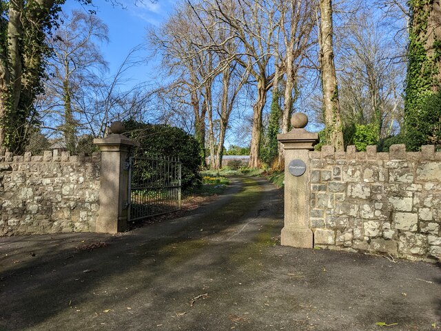
Dref, Y, Caernarfonshire, also known as Y Dref Wen in Welsh, is a small village located in the county of Caernarfonshire, Wales. Situated on the outskirts of the Snowdonia National Park, this picturesque village is known for its stunning natural beauty and charming atmosphere.
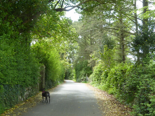
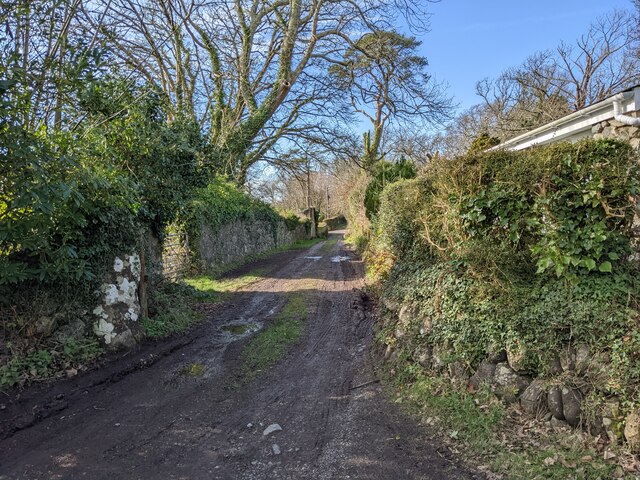
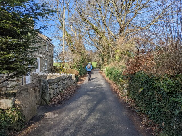
Y Dref Wen is surrounded by rolling hills, lush green meadows, and breathtaking landscapes, making it a popular destination for outdoor enthusiasts and nature lovers. The village is nestled along the banks of the Afon Seiont River, adding to its serene and tranquil setting.
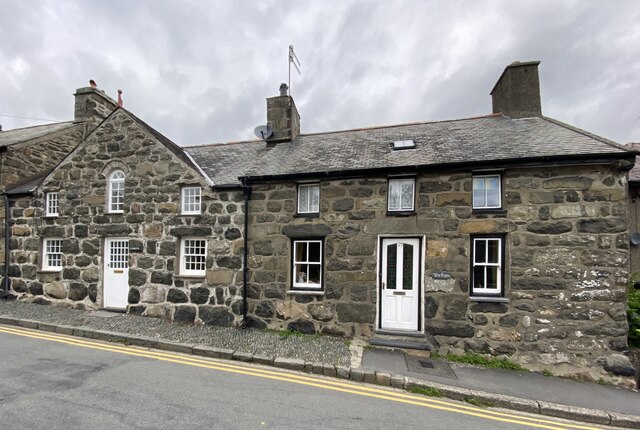
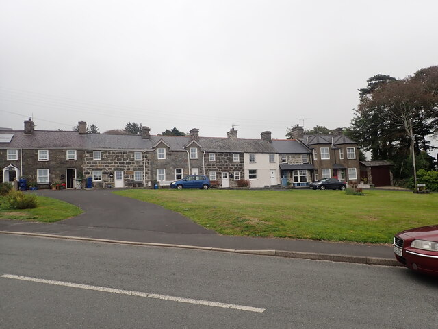
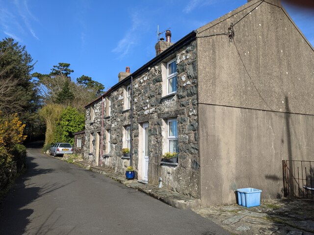
The village itself is characterized by its quaint stone cottages and traditional Welsh architecture, creating a sense of timeless charm. The local community takes pride in preserving the village's heritage, and many of the buildings date back centuries.
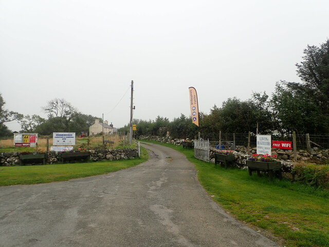
Although small, Y Dref Wen offers a range of amenities for its residents and visitors. It has a local pub, a convenience store, and a post office, catering to the basic needs of the community. The village also has a primary school, ensuring that families have access to education for their children.
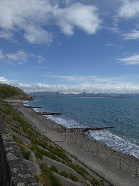
Y Dref Wen is also well-positioned for those looking to explore the surrounding area. It is within easy reach of the historic town of Caernarfon, known for its medieval castle, as well as the beautiful coastline and sandy beaches of Cardigan Bay.
Overall, Dref, Y, Caernarfonshire is a charming village that offers a peaceful retreat for those seeking a break from the hustle and bustle of city life. With its natural beauty and sense of community, it is a place that captures the heart of its visitors.
If you have any feedback on the listing, please let us know in the comments section below.
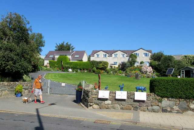
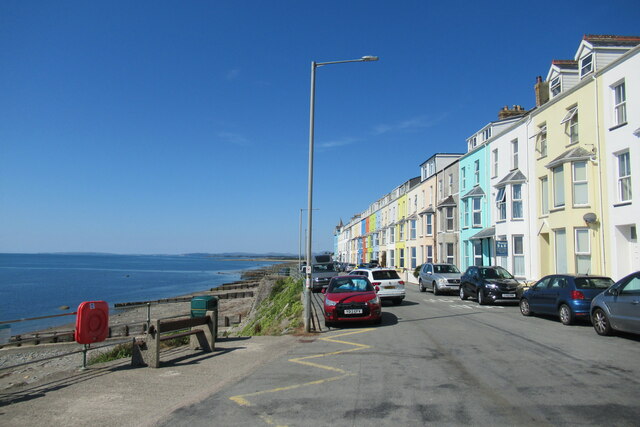
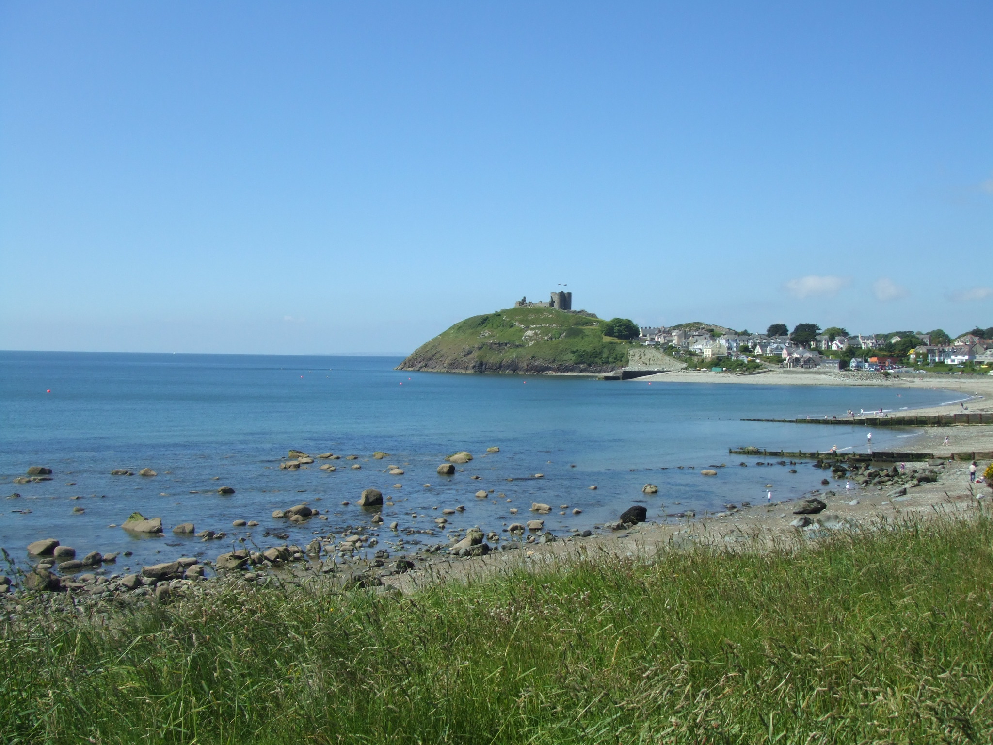
Dref, Y Images
Images are sourced within 2km of 52.916254/-4.231803 or Grid Reference SH5037. Thanks to Geograph Open Source API. All images are credited.
Dref, Y is located at Grid Ref: SH5037 (Lat: 52.916254, Lng: -4.231803)
Unitary Authority: Gwynedd
Police Authority: North Wales
What 3 Words
///gratuity.blip.slept. Near Criccieth, Gwynedd
Related Wikis

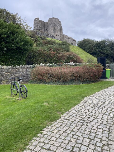
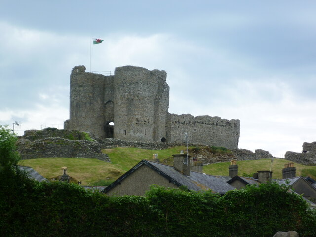
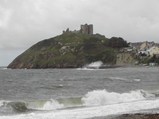
Criccieth Castle
Criccieth Castle (Welsh: Castell Cricieth; [kastɛɬ ˈkrɪkjɛθ]) is a ruined thirteenth-century castle in Criccieth, Gwynedd, Wales. It is located on a rocky...
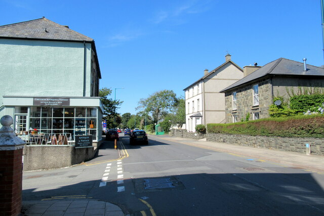
Criccieth
Criccieth (Welsh: Cricieth [ˈkrɪkjɛθ] ) is a town and community in Gwynedd, Wales, on the boundary between the Llŷn Peninsula and Eifionydd. The town is...
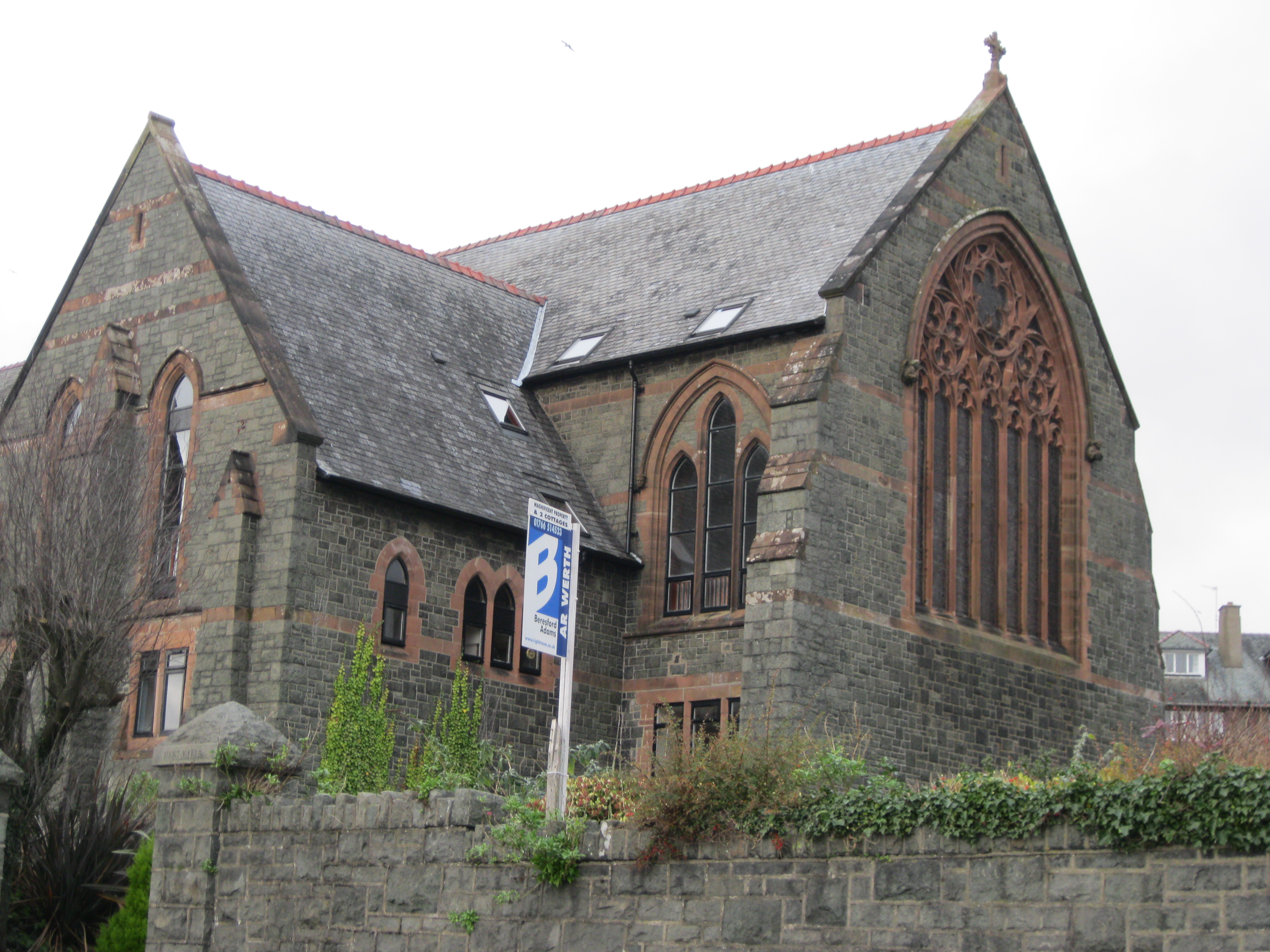
St Deiniol's Church, Criccieth
St Deiniol's Church (Welsh: Eglwys Deiniol Sant), was a church in Criccieth, Gwynedd, Wales (grid reference SH500381). It was built between 1884 and 1887...

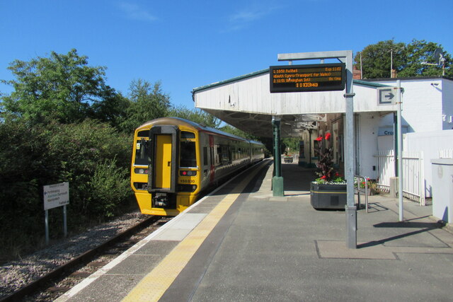
Criccieth railway station
Criccieth railway station serves the seaside town of Criccieth on the Llŷn Peninsula in Gwynedd, Wales. == History == The station was opened on 2 September...

Penllyn, Gwynedd
Penllyn is a former civil parish in the Welsh county of Gwynedd. The parish was created in 1894 from the part of Criccieth parish that lay outside the...

Black Rock Halt railway station
Black Rock Halt was a railway station in Gwynedd, located between Criccieth and Porthmadog on the former Aberystwith and Welsh Coast Railway. It served...

Eifionydd
Eifionydd (Welsh pronunciation: [ɛiˈvjɔnɨð]) is an area in north-west Wales covering the south-eastern part of the Llŷn Peninsula from Porthmadog to just...

Ystumllyn
Ystumllyn is a Grade II* listed house in Criccieth, Wales. Founded in the late-16th-century, and significantly expanded in the early-18th-century, it is...
Nearby Amenities
Located within 500m of 52.916254,-4.231803Have you been to Dref, Y?
Leave your review of Dref, Y below (or comments, questions and feedback).