Whitehaugh

Settlement in Renfrewshire

Scotland

Whitehaugh

Renfrewshire Council Headquarters
Renfrewshire Council Headquarters Credit: G McK

Whitehaugh is a residential area located in Renfrewshire, Scotland. It is situated approximately 2 miles west of the town of Paisley and 10 miles west of Glasgow city center. The neighborhood is known for its peaceful atmosphere and attractive surroundings, making it a desirable place to live.

Whitehaugh is primarily made up of detached and semi-detached houses, with some smaller apartment buildings. The properties in the area are well-maintained and often feature spacious gardens. The neighborhood is popular among families and professionals looking for a tranquil place to reside while still having easy access to nearby urban centers.

The area benefits from its close proximity to various amenities. Residents can find a range of shops, supermarkets, and restaurants within a short drive. The nearby town of Paisley offers additional options for leisure, shopping, and entertainment, including a cinema and various cultural attractions.

Whitehaugh is also well-connected in terms of transportation. The neighborhood is served by several bus routes, providing convenient links to surrounding areas. The nearby M8 motorway allows for easy access to Glasgow, Edinburgh, and other major cities in Scotland.

Nature enthusiasts will appreciate the abundance of green spaces and parks in the vicinity of Whitehaugh. The nearby Gleniffer Braes Country Park offers stunning views, walking trails, and picnic areas, making it a popular destination for outdoor activities.

Overall, Whitehaugh offers a peaceful and picturesque living environment with excellent access to amenities and transport links, making it an attractive place to call home in Renfrewshire.

If you have any feedback on the listing, please let us know in the comments section below.
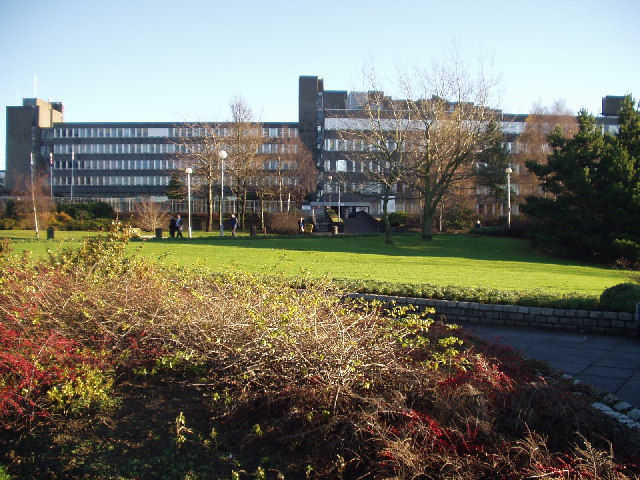
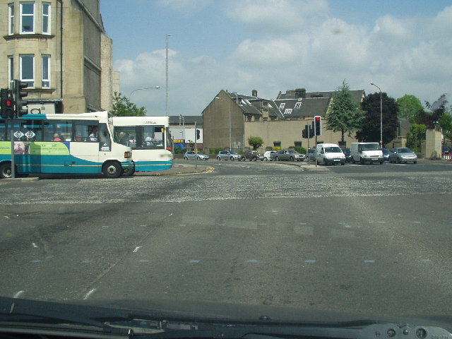
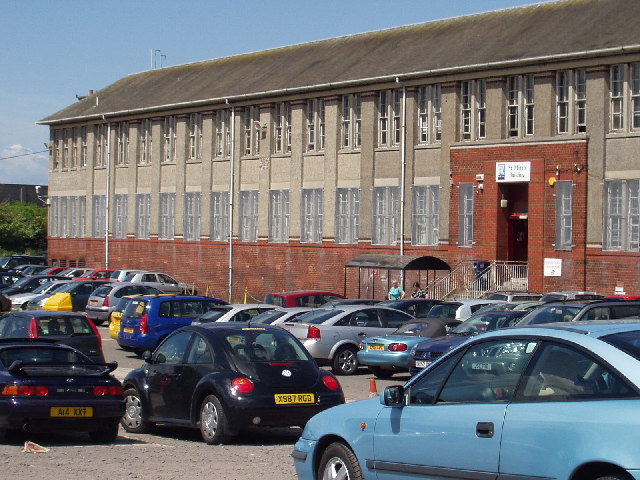
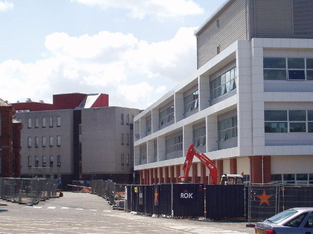
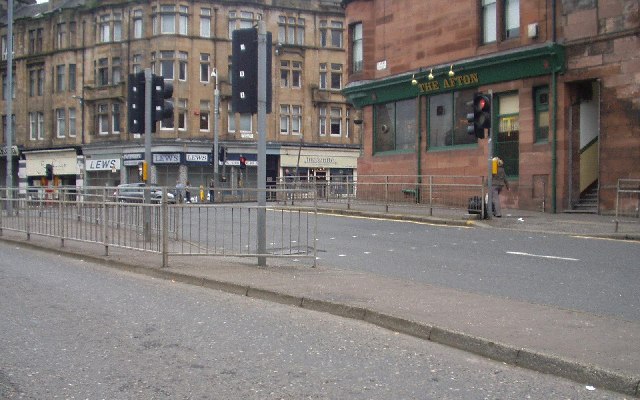
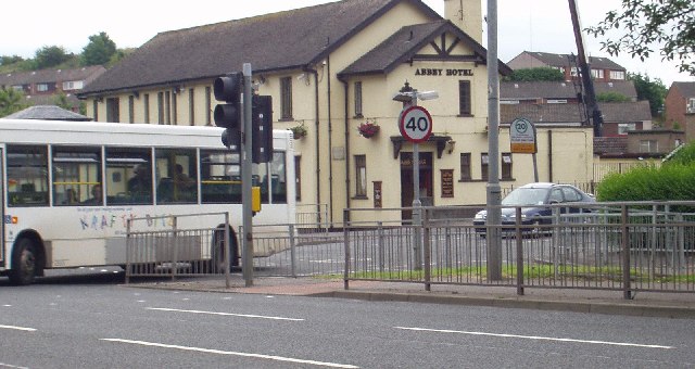
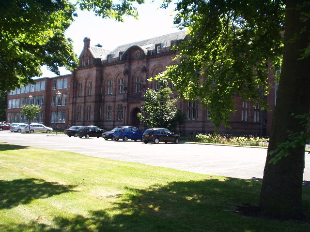
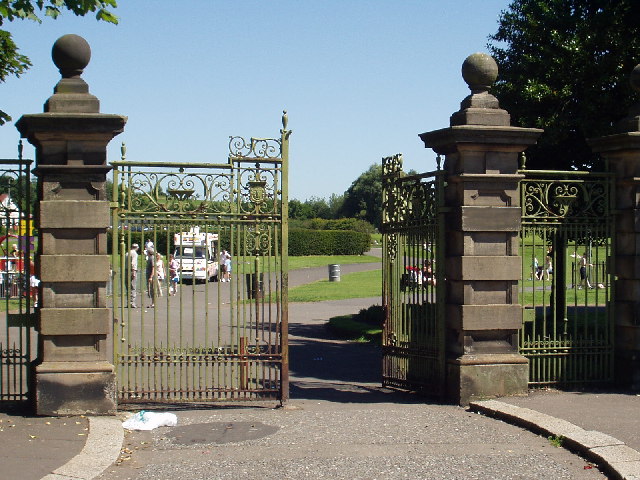
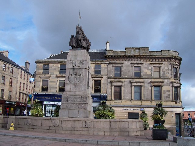
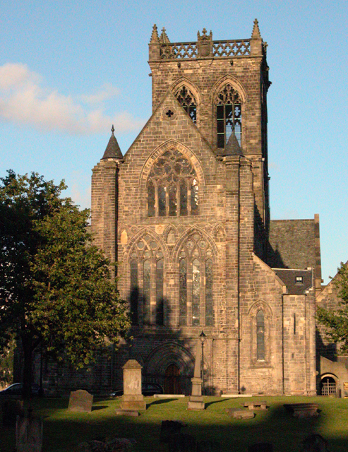
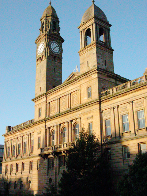
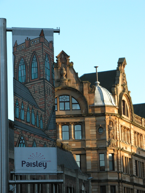
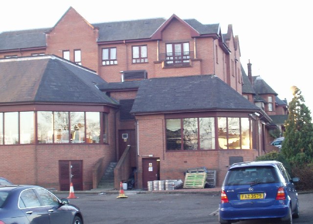
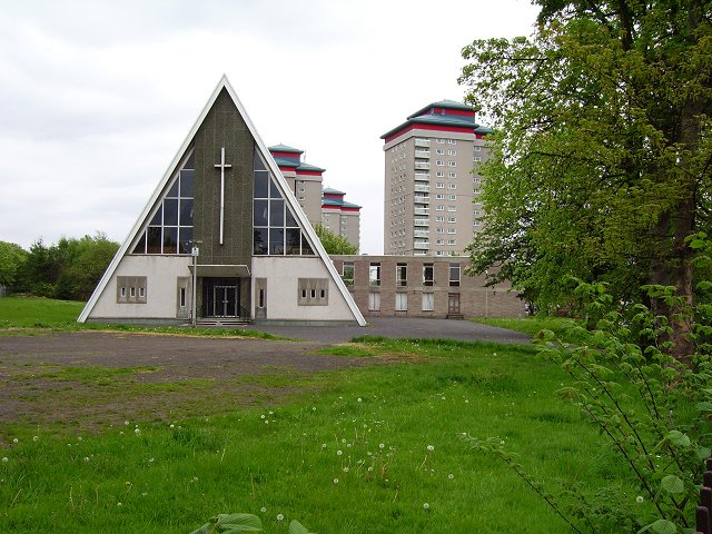
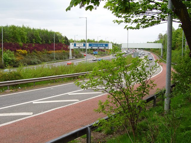
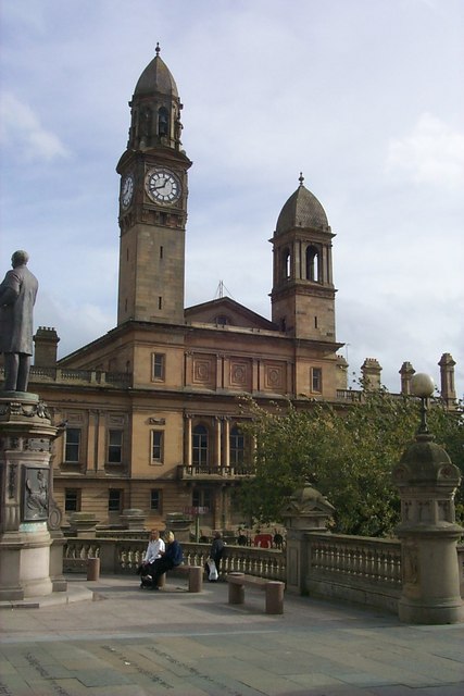
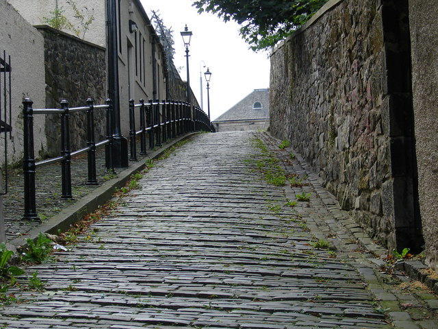
Whitehaugh Images

Images are sourced within 2km of 55.850993/-4.4022693 or Grid Reference NS4964. Thanks to Geograph Open Source API. All images are credited.

Renfrewshire Council Headquarters
Central Paisley
Central Paisley
St Mirin Block, Reid Kerr College
The new teaching block, Reid Kerr College
Canal St, Paisley Road junction near the centre of Paisley
Canal St, Paisley
Road junction near the centre of Paisley
The Abbey Hotel, Paisley
Paisley Grammar School Glasgow Road, Paisley
Paisley Grammar School
Glasgow Road, Paisley
Barshaw Park, Paisley
Hawkhead Station, Paisley
War memorial, Paisley
Paisley Abbey View of the historic abbey from over the White Cart Water.
Paisley Abbey
View of the historic abbey from over the White Cart Water.
Paisley Town Hall View from St Mirren Street, across the White Cart Water.
Paisley Town Hall
View from St Mirren Street, across the White Cart Water.
Tenements Tenements at the top of Causeyside Street, Paisley, taken from St Mirren Street.
Tenements
Tenements at the top of Causeyside Street, Paisley, taken from St Mirren Street.
The Glynhill Hotel Paisley Road, Renfrew (close to the M8 motorway)

We use this place for a lot of conferences!
The Glynhill Hotel
Paisley Road, Renfrew (close to the M8 motorway) We use this place for a lot of conferences!
Sandyford Kirk Church of Scotland church and towerblocks, Paisley.
Sandyford Kirk
Church of Scotland church and towerblocks, Paisley.
M8 Western approaches to Glasgow at junction 27. An elder bush in the way is far preferable to a windscreen.  Main route into the city from Paisley, Renfrewshire and the Airport.
M8
Western approaches to Glasgow at junction 27. An elder bush in the way is far preferable to a windscreen. Main route into the city from Paisley, Renfrewshire and the Airport.
Paisley Town Hall One of the most famous landmarks in the town this monument to civic pride has a beautiful setting bounded by the White Cart Water and Paisley Abbey.
Paisley Town Hall
One of the most famous landmarks in the town this monument to civic pride has a beautiful setting bounded by the White Cart Water and Paisley Abbey.
Meeting House Lane Even today, this picture evokes the world of times gone by... The cobbled cart way complete with raised sections on the slope to permit the animal good grip and prevent the cart from rolling out of control. Pedestrians on the (arguably narrow) pavement were protected from the road by a cast iron handrail, with gas lampposts at regular intervals. Although no wheeled traffic is allowed along its length (due to erection of steps at the eastern end, where the lane joins Moss Street).
Meeting House Lane
Even today, this picture evokes the world of times gone by... The cobbled cart way complete with raised sections on the slope to permit the animal good grip and prevent the cart from rolling out of control. Pedestrians on the (arguably narrow) pavement were protected from the road by a cast iron handrail, with gas lampposts at regular intervals. Although no wheeled traffic is allowed along its length (due to erection of steps at the eastern end, where the lane joins Moss Street).
Show me another place!

Whitehaugh is located at Grid Ref: NS4964 (Lat: 55.850993, Lng: -4.4022693)

Unitary Authority: Renfrewshire

Police Authority: Renfrewshire and Inverclyde

What 3 Words

///scars.adults.cabin. Near Renfrew, Renfrewshire

Nearby Locations

Whitehaugh

Related Wikis

Whitehaugh Oval

Whitehaugh Oval is a cricket ground in Paisley, Renfrewshire, Scotland. It has been the home ground of Kelburne Cricket Club since their previous ground...

Paisley Barracks

Paisley Barracks was a military installation in Paisley, Renfrewshire. == History == The infantry barracks, which were built on the south side of the Glasgow...

Barshaw Park

Barshaw Park is public park in Paisley, Scotland. It has 55 acres (22 hectares) of recreational parkland and garden areas which are open to the public...

Paisley East railway station

Paisley East was an unopened railway station in Paisley, Renfrewshire, Scotland. == History == The station was originally part of the Paisley and Barrhead...

New Ralston Park

New Ralston Park was a football ground in Paisley, Scotland. It was the home ground of Abercorn during their third decade in the Scottish Football League...

Old Ralston Park

Old Ralston Park was a football ground in Paisley, Scotland. It was the home ground of Abercorn during their second decade in the Scottish Football League...

Gallowhill

Gallowhill is a housing estate in the north east of Paisley, a town in Renfrewshire, Scotland. Its approximate boundaries are formed by the M8 motorway...

Paisley Grammar School

Paisley Grammar School is a secondary school in Paisley, the largest town in Renfrewshire, Scotland. The school was founded in 1576 by royal charter of...

Related Videos

Knockhill Circular in Largs πŸ’™πŸ΄σ §σ ’σ ³σ £σ ΄σ ΏπŸ’™πŸ₯°

Beautiful, peaceful wee hike with stunning views on the west coast of Scotland 󠁧󠁒󠁳󠁣󠁴󠁿 #shorts #scotland #hiking ...

Nearby Amenities

Located within 500m of 55.850993,-4.4022693
Traffic Signals
Lat/Long: 55.8467687/-4.3999794
Traffic Signals
Lat/Long: 55.8466858/-4.3999484
Mini Roundabout
Direction: clockwise
Lat/Long: 55.8539157/-4.4007818
Turning Circle
Lat/Long: 55.8520725/-4.4057991
Turning Circle
Lat/Long: 55.8523473/-4.4048585
Traffic Calming: table
Lat/Long: 55.8537779/-4.4015199
Traffic Calming: table
Lat/Long: 55.8534478/-4.4031083
Traffic Calming: table
Lat/Long: 55.8531324/-4.4041978
Traffic Calming: table
Lat/Long: 55.8527727/-4.4048555
Mini Roundabout
Lat/Long: 55.85269/-4.4053185
Traffic Calming: table
Lat/Long: 55.8525058/-4.4058778
Traffic Calming: table
Lat/Long: 55.8522489/-4.4067201
Traffic Calming: table
Lat/Long: 55.8520607/-4.4072793
Turning Circle
Lat/Long: 55.8481934/-4.4038652
Turning Circle
Lat/Long: 55.8526798/-4.4087106
Turning Circle
Lat/Long: 55.8546477/-4.4060789
Turning Circle
Lat/Long: 55.8541275/-4.4066037
Bus Stop
Lat/Long: 55.8540587/-4.403453
Bus Stop
Nat Ref: 6140277
Lat/Long: 55.8547342/-4.4009852
Bus Stop
Nat Ref: 6140279
Lat/Long: 55.8532642/-4.4013737
Post Box
Postal Code: PA1
Ref: PA1 29
Lat/Long: 55.8469331/-4.3997428
Bus Stop
Glasgow Rd
Lat/Long: 55.846828/-4.4033187
Traffic Calming: table
Lat/Long: 55.8504753/-4.4082087
Noexit: yes
Lat/Long: 55.8514298/-4.4080137
Traffic Calming: table
Lat/Long: 55.8508982/-4.4081257
Turning Circle
Lat/Long: 55.8496195/-4.4031197
Traffic Calming: table
Lat/Long: 55.8536956/-4.4022689
Barshaw Central
Railway: station
Usage: tourism
Lat/Long: 55.8487724/-4.3963559
Crossing
Crossing: zebra
Lat/Long: 55.8513301/-4.4023904
Bicycle Parking
Bicycle Parking: wall_hoops
Capacity: 10
Covered: no
Note: ground hoops/wheelbenders
Lat/Long: 55.8488028/-4.3961837
Railway: switch
Lat/Long: 55.8539031/-4.4025377
Railway: switch
Lat/Long: 55.8545361/-4.4000163
Railway: switch
Lat/Long: 55.8541193/-4.4016473
Whitehaugh
Place: suburb
Lat/Long: 55.8493152/-4.4064581
Barrier: lift_gate
Lat/Long: 55.8466445/-4.4040719
Barrier: lift_gate
Lat/Long: 55.8466394/-4.4036857
Bench
Backrest: yes
Lat/Long: 55.8488147/-4.398215
Addr Housenumber: 1
Lat/Long: 55.8495195/-4.3978484
Arkleston Junction
Railway: junction
Lat/Long: 55.8536906/-4.403478
Green Law Junction
Railway: junction
Lat/Long: 55.851741/-4.4091762
The data included in this document is from www.openstreetmap.org. The data is made available under ODbL.

Have you been to Whitehaugh?

Leave your review of Whitehaugh below (or comments, questions and feedback).