The Workhouse, Southwell
Heritage Site in Nottinghamshire Newark and Sherwood
England
The Workhouse, Southwell
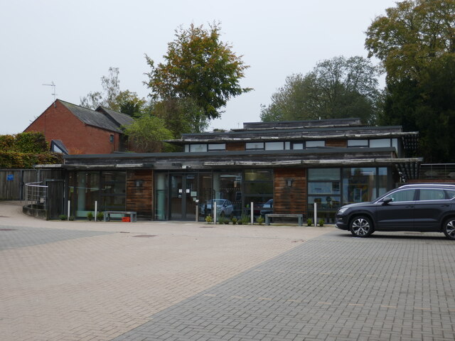
The Workhouse, located in Southwell, Nottinghamshire, is a prominent heritage site that provides a glimpse into the harsh living conditions of the poor during the Victorian era in England. Built in 1824, this austere building served as a workhouse, a place where the destitute sought shelter and employment in exchange for basic necessities.
The Workhouse was designed by architect George Gilbert Scott, who aimed to create a building that would deter people from seeking assistance. Its imposing structure, with its high walls and small windows, reflected the stern approach adopted towards the poor during that time.
Inside, separate sections were designated for different groups, including men, women, children, and the elderly. The workhouse operated on a strict regime, with residents being assigned hard labor such as breaking stones or picking oakum. This grueling work aimed to dissuade people from relying on the workhouse for support.
Visitors to The Workhouse can explore the various rooms and areas, including the dormitories, where hundreds of people slept in cramped conditions, and the infirmary, where medical care was provided. The site also houses a museum that displays artifacts and exhibits, providing insight into the daily lives of workhouse residents.
The Workhouse, now managed by the National Trust, offers guided tours, educational programs, and events that delve into the history and social impact of the workhouse system. It serves as a reminder of the hardships endured by the poor in the past and the ongoing struggle for social welfare.
If you have any feedback on the listing, please let us know in the comments section below.
The Workhouse, Southwell Images
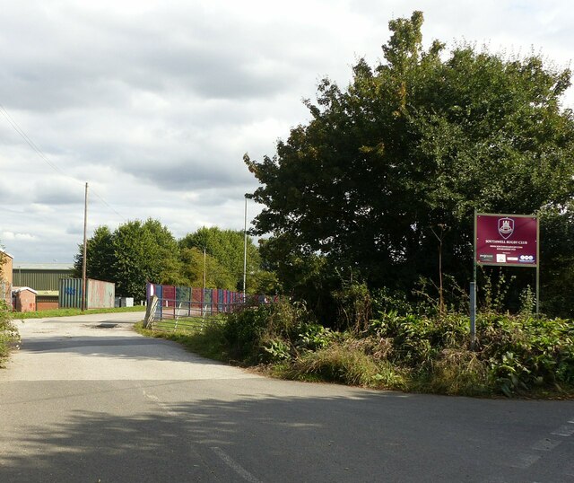
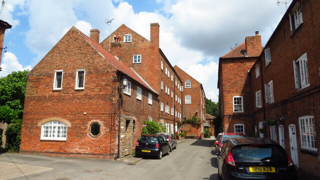
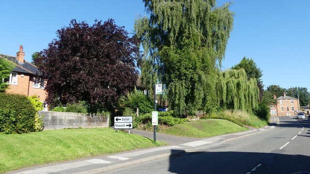
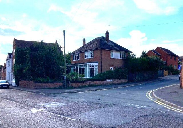
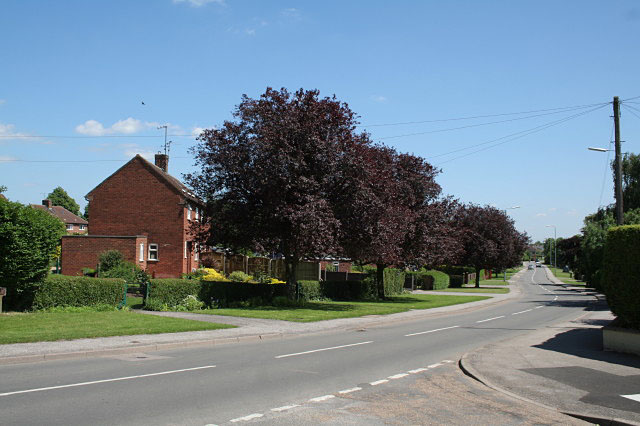
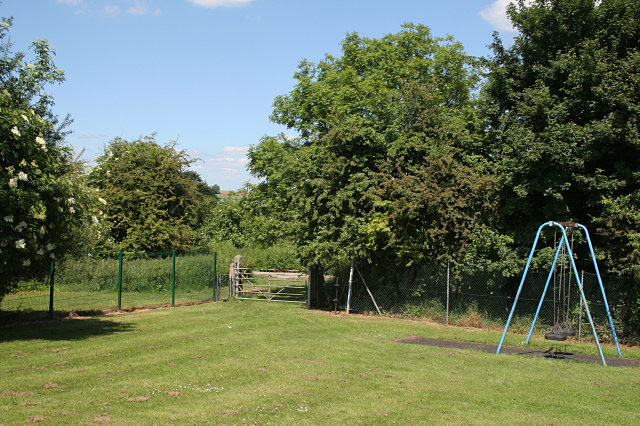
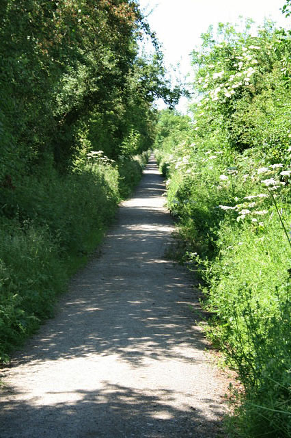
Images are sourced within 2km of 53.081/-0.939 or Grid Reference SK7154. Thanks to Geograph Open Source API. All images are credited.
The Workhouse, Southwell is located at Grid Ref: SK7154 (Lat: 53.081, Lng: -0.939)
Administrative County: Nottinghamshire
District: Newark and Sherwood
Police Authority: Nottinghamshire
What 3 Words
///cavalier.removal.groomed. Near Southwell, Nottinghamshire
Nearby Locations
Related Wikis

The Workhouse, Southwell
The Workhouse, also known as Greet House, in the town of Southwell, Nottinghamshire, England, is a museum operated by the National Trust, opened to the...

Southwell railway station
Southwell railway station was a railway station that served the minster town of Southwell in Nottinghamshire, England from 1847 to 1959. == History... ==

Southwell Minster
Southwell Minster, formally the Cathedral and Parish Church of the Blessed Virgin Mary, is a Church of England cathedral in Southwell, England. The cathedral...

Diocese of Southwell and Nottingham
The Diocese of Southwell and Nottingham is a Church of England diocese in the Province of York, headed by the Bishop of Southwell and Nottingham. It covers...

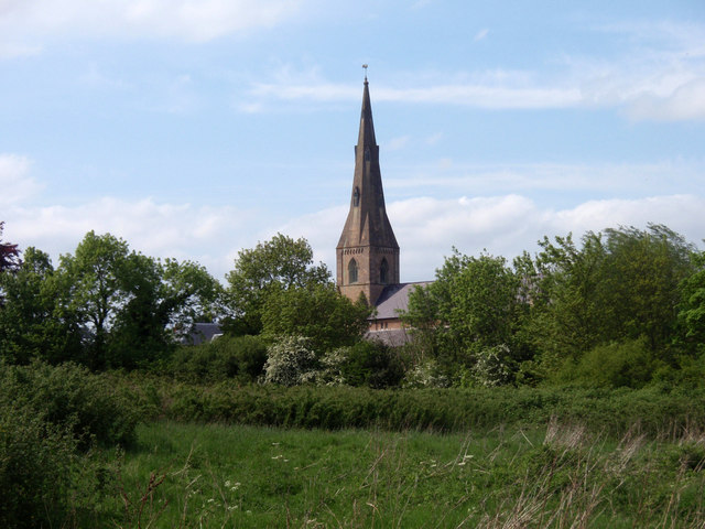
Southwell, Nottinghamshire
Southwell ( SOWTH-wəl, -wel, locally SUDH-əl) is a minster and market town in the district of Newark and Sherwood in Nottinghamshire, England. It is...

The Minster School, Southwell
The Minster School is a Church of England secondary school with sixth form in Southwell, Nottinghamshire, England, for children aged 11 to 18. There are...

Holy Trinity Church, Southwell
Holy Trinity Church, Southwell is a parish church in the Church of England in Southwell, Nottinghamshire. The church is Grade II listed by the Department...
Hockerton Housing Project
The Hockerton Housing Project is a small community of five earth sheltered homes on the outskirts of Hockerton, Nottinghamshire, UK. The houses were designed...
Nearby Amenities
Located within 500m of 53.081,-0.939Have you been to The Workhouse, Southwell?
Leave your review of The Workhouse, Southwell below (or comments, questions and feedback).