Pond Bay
Heritage Site in Hampshire Basingstoke and Deane
England
Pond Bay
Pond Bay, located in Hampshire, is a renowned heritage site that attracts visitors from around the world. Situated along the stunning coastline of southern England, Pond Bay offers a unique blend of natural beauty and historical significance.
The bay itself is a picturesque inlet characterized by its calm turquoise waters and sandy shores. Surrounded by lush green hills and cliffs, it provides a tranquil and idyllic setting for visitors to relax and appreciate the beauty of nature.
However, Pond Bay is not just a stunning natural attraction; it also holds historical importance. The area has been inhabited since ancient times, with evidence of human presence dating back thousands of years. Archaeological excavations in the region have unearthed relics from various periods, including the Bronze Age and Roman times.
One of the notable historical features in Pond Bay is the ruins of an ancient castle. Believed to have been built in the 12th century, the castle played a crucial role in defending the coast against invasions. Today, the ruins stand as a testament to the area's rich history and are a popular site for history enthusiasts.
In addition to its natural and historical significance, Pond Bay also offers a range of recreational activities for visitors. From swimming and sunbathing on the beach to hiking and exploring the nearby cliffs, there is something for everyone to enjoy.
Overall, Pond Bay in Hampshire is a captivating heritage site that combines stunning natural beauty with a rich historical past. Whether you are seeking relaxation, exploration, or a glimpse into the past, this remarkable location has it all.
If you have any feedback on the listing, please let us know in the comments section below.
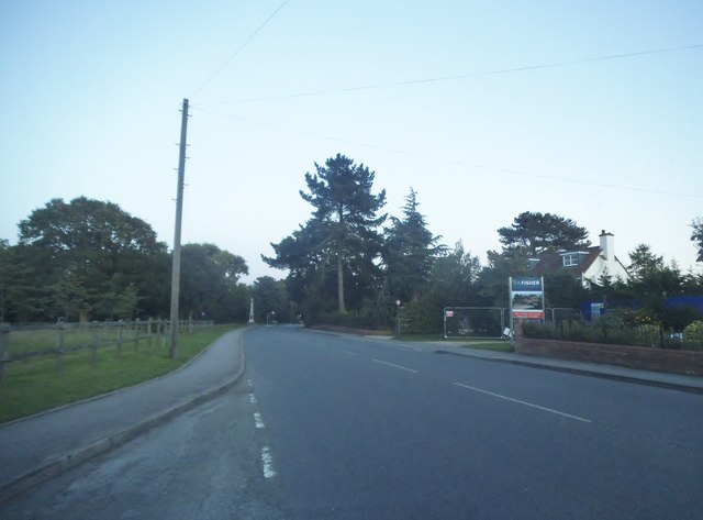
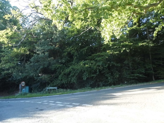
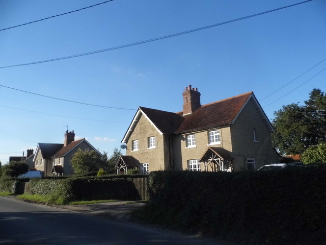
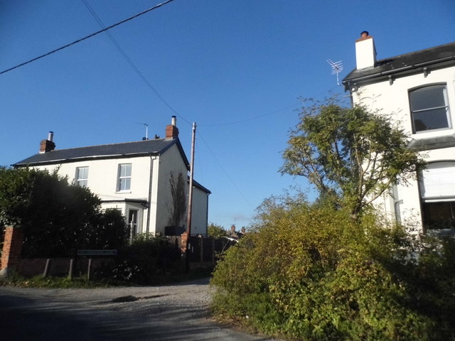
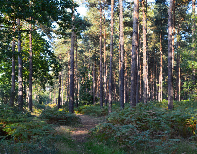
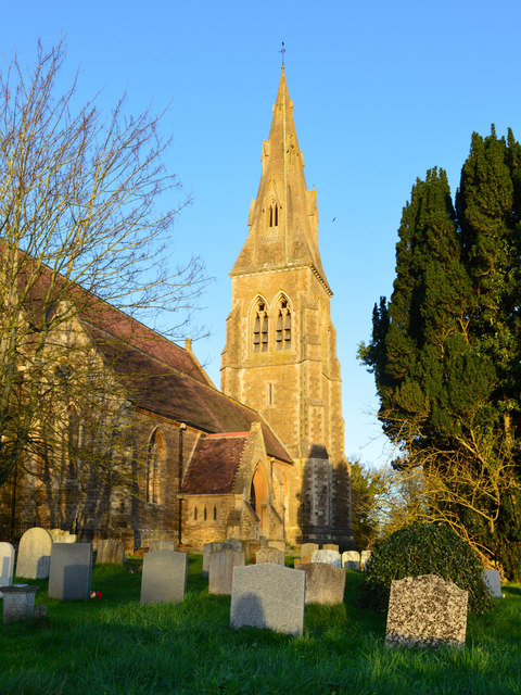
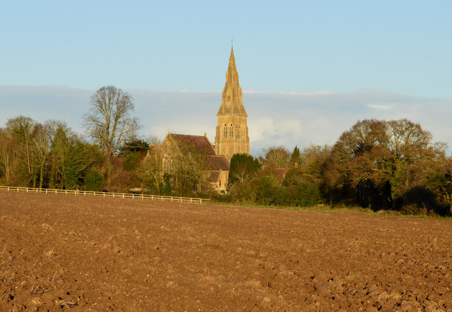
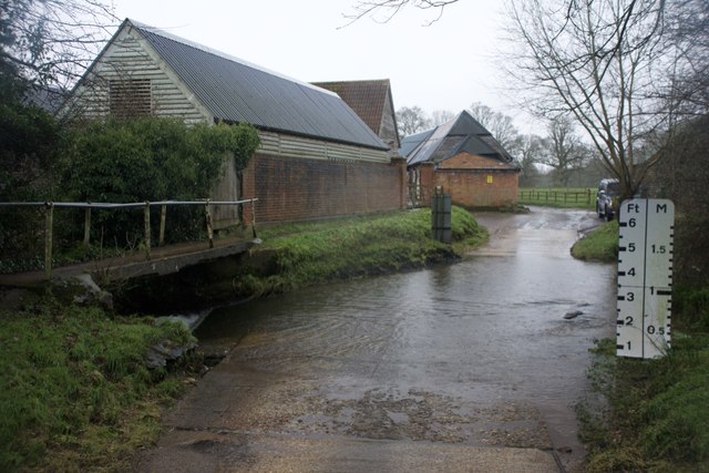
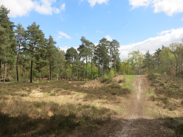
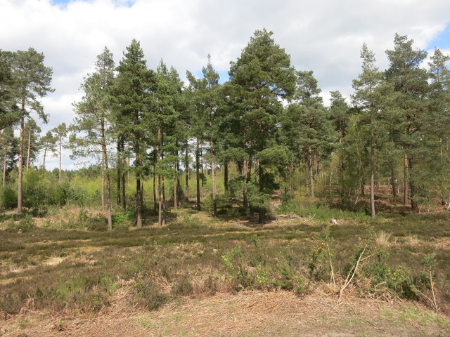
Pond Bay Images
Images are sourced within 2km of 51.367/-1.058 or Grid Reference SU6563. Thanks to Geograph Open Source API. All images are credited.
Pond Bay is located at Grid Ref: SU6563 (Lat: 51.367, Lng: -1.058)
Administrative County: Hampshire
District: Basingstoke and Deane
Police Authority: Hampshire
What 3 Words
///hurtles.wheels.inviting. Near Stratfield Mortimer, Berkshire
Nearby Locations
Related Wikis

West End Brook
West End Brook is a small stream in southern England. It rises near the Hampshire village of Tadley. Its name is probably related to the parish, and village...

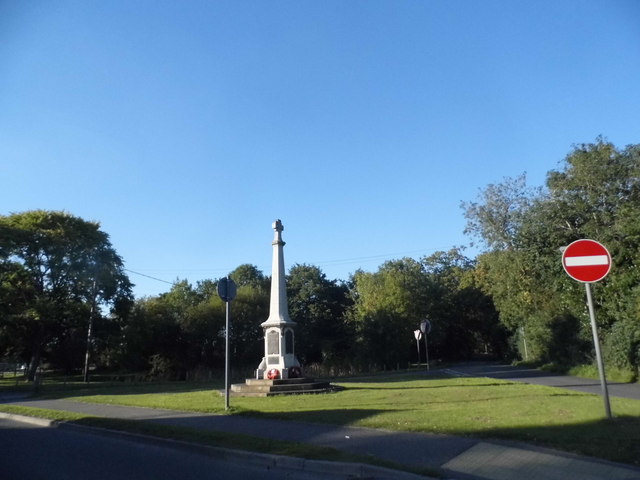
Mortimer War Memorial
The Mortimer War Memorial is a monument that commemorates the lives of soldiers from Stratfield Mortimer, Berkshire, England, who were killed in war....

Mortimer Common
Mortimer Common, generally referred to as Mortimer, is a village in the civil parish of Stratfield Mortimer in Berkshire. Mortimer is in the local government...

Stratfield Mortimer
Stratfield Mortimer is a village and civil parish, just south of Reading, in the English county of Berkshire and unitary authority area of West Berkshire...
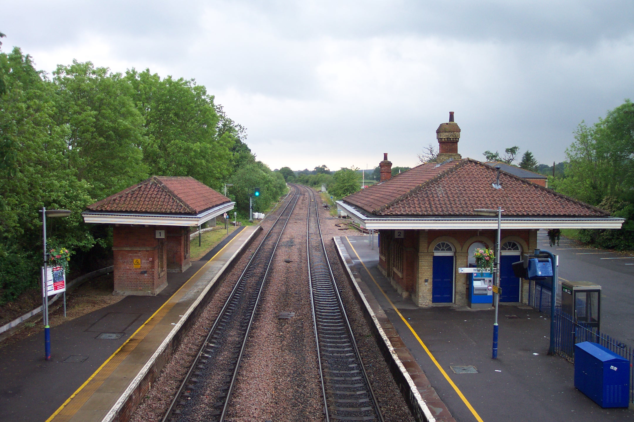
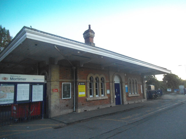
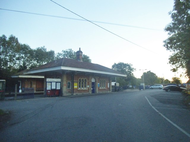
Mortimer railway station
Mortimer railway station is a railway station in the village of Stratfield Mortimer in the county of Berkshire in England. It is 43 miles 14 chains (69...

Calleva Atrebatum
Calleva Atrebatum ("Calleva of the Atrebates") was an Iron Age oppidum, the capital of the Atrebates tribe. It then became a walled town in the Roman province...

Roman road from Silchester to Bath
The Roman road from Silchester to Bath connected Calleva Atrebatum (Silchester) with Aquae Sulis (Bath) via Spinae (Speen), Cunetio (near Marlborough)...

Mortimer West End
Mortimer West End is a village and civil parish in north Hampshire in England. It lies in the northernmost point of the county. == History == At one time...
Related Videos

WALKS IN HAMPSHIRE at SILCHESTER & CALLEVA ATREBATUM (ROMAN TOWN) (4K)
In this episode of my series “ Walks in Hampshire”, I take a 4.5 mile “circular” walk at Silchester & Calleva Atrebatum (the site of a ...
![Calleva Atrebatum Amphitheatre, Silchester Panorama [12 September 2020]](https://i.ytimg.com/vi/EA9J_GVgG5Q/hqdefault.jpg)
Calleva Atrebatum Amphitheatre, Silchester Panorama [12 September 2020]
Panorama from the arena floor at Calleva Atrebatum Amphitheatre, the Roman city next to the modern day town of Silchester.
![Silchester [12 September 2020]](https://i.ytimg.com/vi/GcgzBKHlFWY/hqdefault.jpg)
Silchester [12 September 2020]
Views around the ruins of the Roman city of Calleva Atrebatum (Silchester), including the walls and Amphitheatre.

#33 Rob's Hampshire Pub Walks: Silchester (The Calleva Atrebatum Walk ) 3 Miles Approx
One of my extremely historic Hampshire Walks. Follow in the footsteps of Roman Legionnaires, step into the 7000 seater ...
Nearby Amenities
Located within 500m of 51.367,-1.058Have you been to Pond Bay?
Leave your review of Pond Bay below (or comments, questions and feedback).