Pen-y-gaer
Heritage Site in Caernarfonshire
Wales
Pen-y-gaer
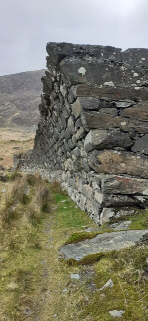
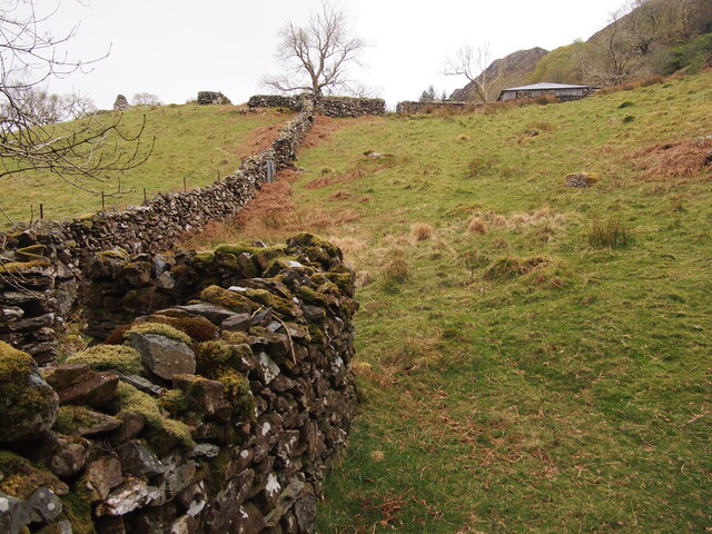
Pen-y-gaer is an ancient hillfort located in Caernarfonshire, Wales. Believed to have been constructed in the Iron Age, this heritage site is situated on a prominent hill overlooking the surrounding landscape. The fort itself is circular in shape and is surrounded by a series of defensive ramparts and ditches, indicating its strategic importance in the past.
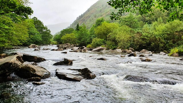
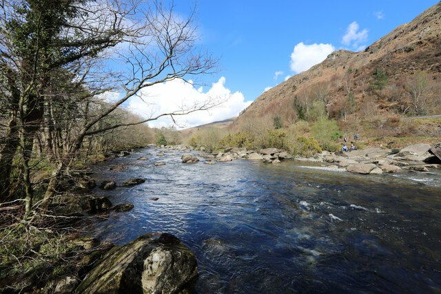
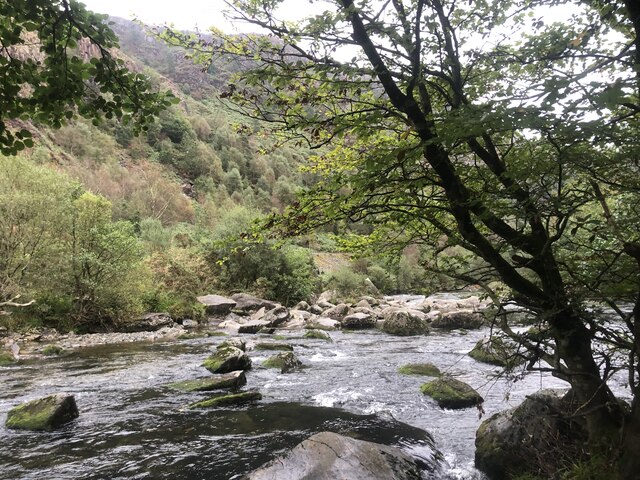
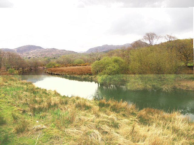
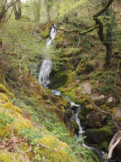
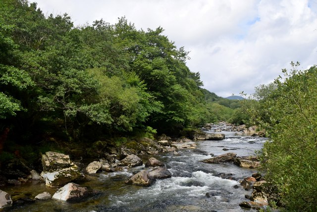
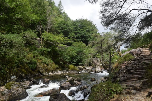
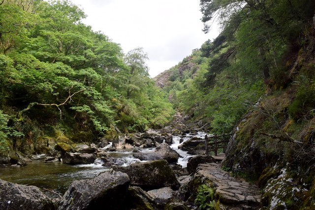
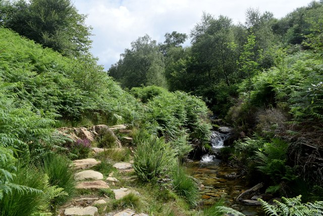
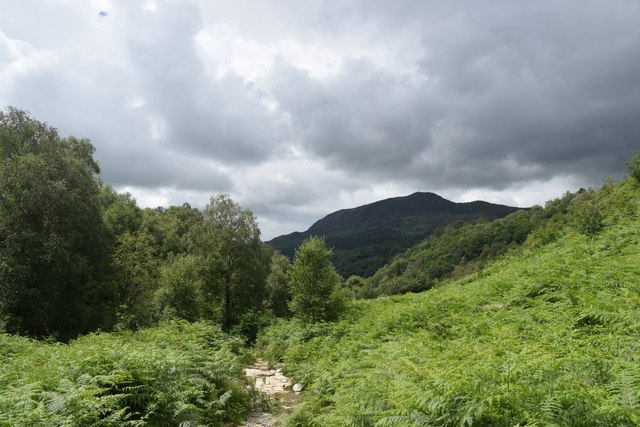
The site offers stunning views of the Snowdonia mountain range and the Menai Strait, showcasing the natural beauty of the Welsh countryside. Pen-y-gaer is also surrounded by lush green meadows and woodlands, adding to its picturesque setting.
Visitors to Pen-y-gaer can explore the remains of the hillfort, including the earthworks and defensive structures that have stood the test of time. The site is a popular destination for history enthusiasts, hikers, and nature lovers alike, with many visitors coming to admire the ancient ruins and soak in the breathtaking views.
Overall, Pen-y-gaer is a fascinating heritage site that offers a glimpse into Wales' ancient past and provides a peaceful retreat for those looking to connect with nature and history.
If you have any feedback on the listing, please let us know in the comments section below.
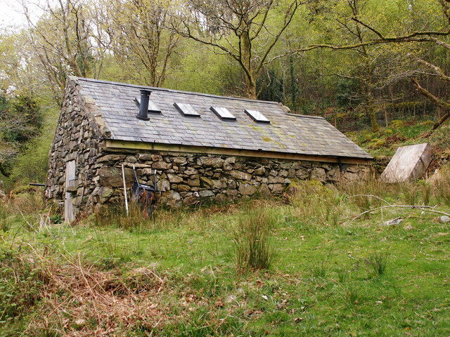
Pen-y-gaer Images
Images are sourced within 2km of 52.988/-4.108 or Grid Reference SH5845. Thanks to Geograph Open Source API. All images are credited.
Pen-y-gaer is located at Grid Ref: SH5845 (Lat: 52.988, Lng: -4.108)
What 3 Words
///threaten.treble.venturing. Near Penrhyndeudraeth, Gwynedd
Nearby Locations
Related Wikis
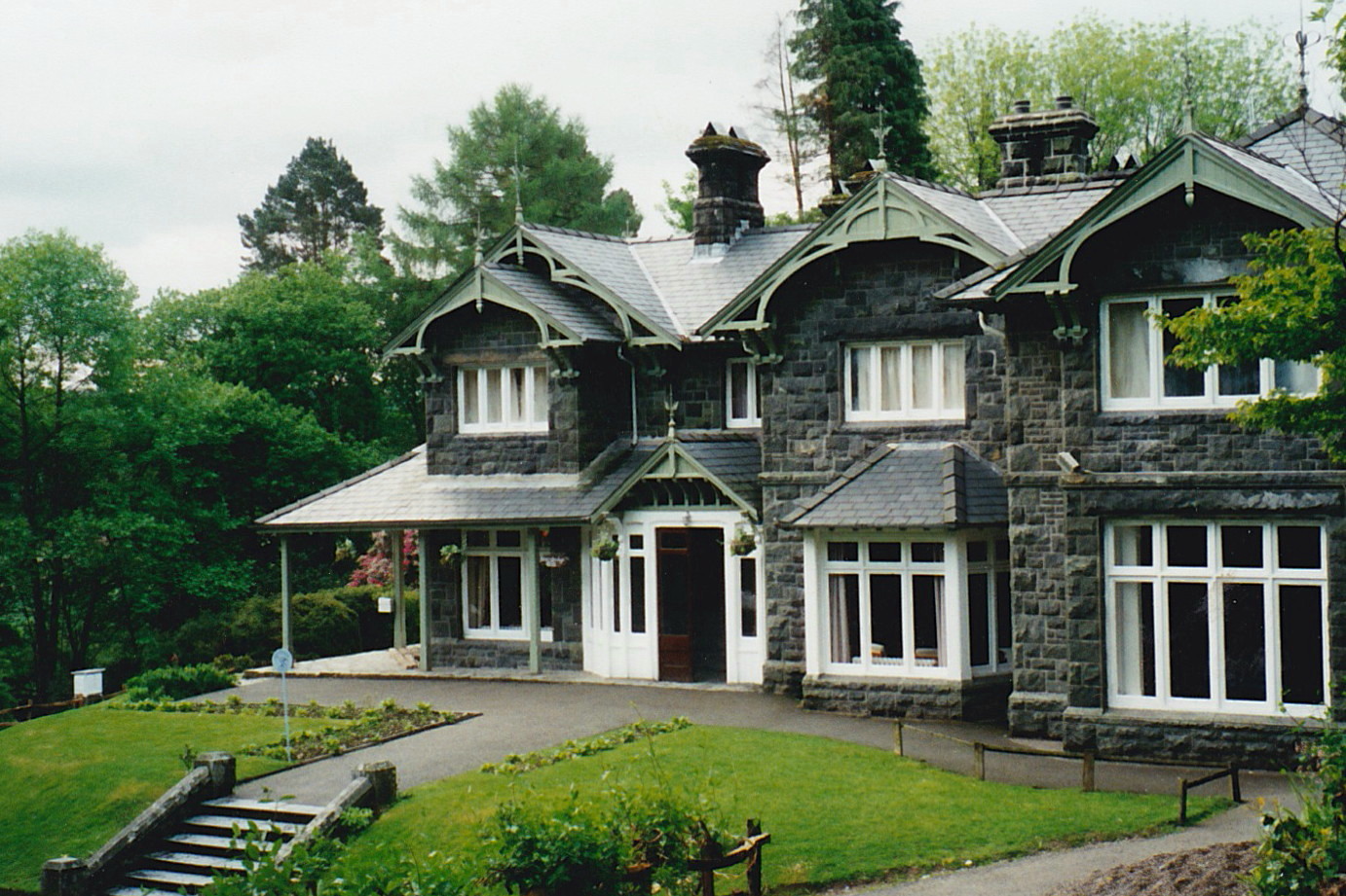
Aberglaslyn Hall
Aberglaslyn Hall is an outdoor learning centre near Beddgelert, North Wales on the edge of the Snowdonia National Park. The hall was purchased by Leicestershire...

Pont Aberglaslyn
Pont Aberglaslyn is a stone arch bridge over the Afon Glaslyn and the surrounding hamlet, located near Beddgelert and Nantmor in Gwynedd, north-west Wales...

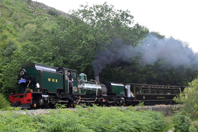
Hafod y Llyn railway station
Hafod y Llyn is a halt in North Wales on the Welsh Highland Railway, located between Beddgelert and Pont Croesor. It had been a halt, with a siding for...
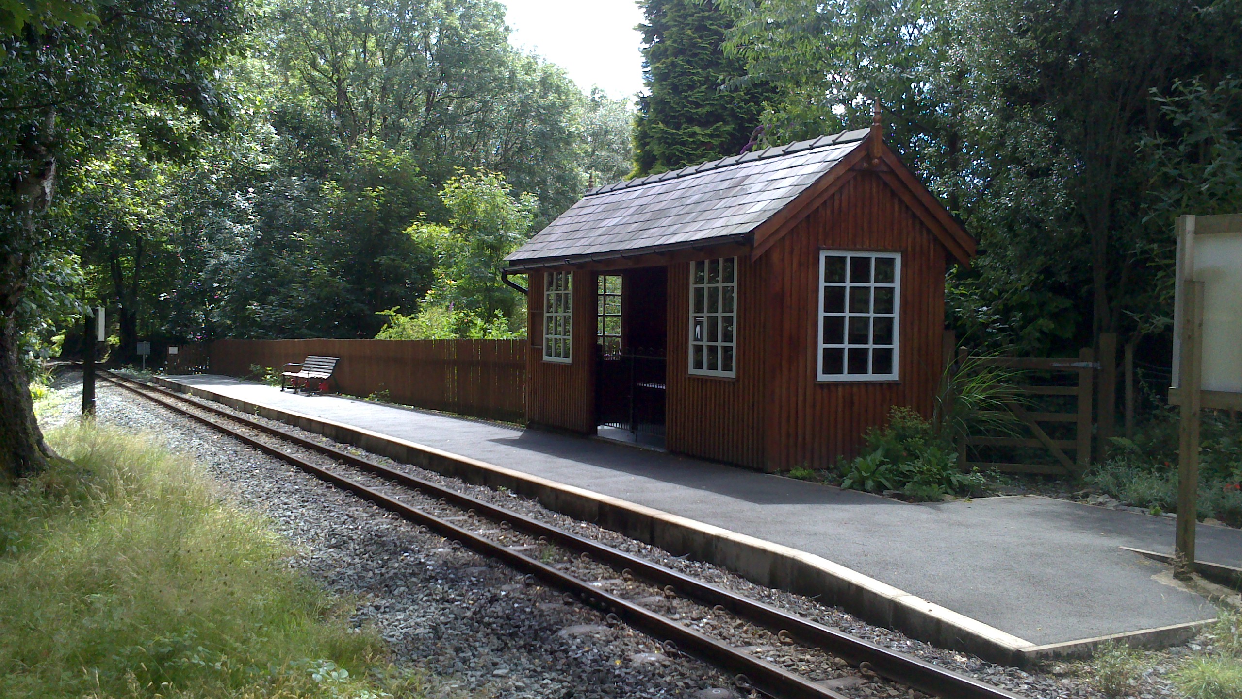
Nantmor railway station
Nantmor is a railway halt in North Wales serving the nearby hamlet of the same name. It is located between the stations of Beddgelert and Pont Croesor...
Nearby Amenities
Located within 500m of 52.988,-4.108Have you been to Pen-y-gaer?
Leave your review of Pen-y-gaer below (or comments, questions and feedback).