Maen Richard

Heritage Site in Brecknockshire

Wales

Maen Richard
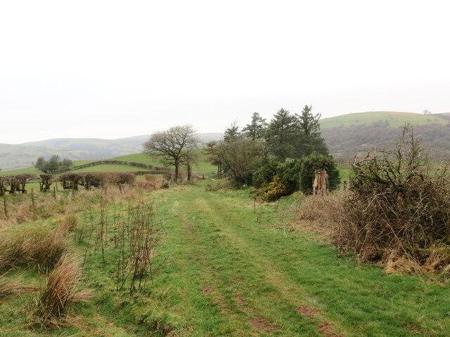
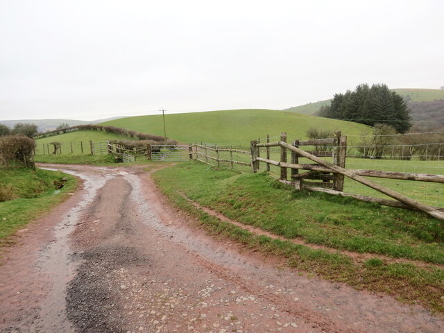
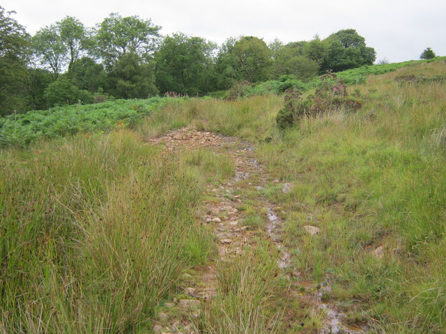
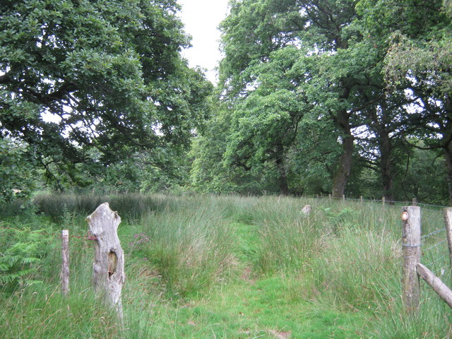
Llwybr ger Rhiwgoch / Path near Rhiwgoch Llwybr cyhoeddus ger Ffarm Rhiwgoch.

A public footpath near Rhiwgoch Farm (trans. red slope / hill).
Llwybr ger Rhiwgoch / Path near Rhiwgoch Credit: Alan Richards

Maen Richard is a historic standing stone located in Brecknockshire, Wales. It is believed to be a Bronze Age monument dating back to around 2000-1400 BC. The stone stands at approximately 2.7 meters tall and is made of local sandstone.

Maen Richard is situated in a picturesque rural setting, surrounded by rolling hills and lush green fields. It is a popular site for visitors interested in prehistoric monuments and ancient history.

The stone is thought to have been used for ceremonial or religious purposes by the people of the Bronze Age, although its exact purpose remains a mystery. Some believe it may have been used as a boundary marker or a grave marker.

Maen Richard is well-preserved and protected as a designated heritage site, ensuring that it remains a valuable piece of Wales' ancient past for future generations to appreciate and study. Visitors to the site can marvel at the impressive size and age of the stone, as well as take in the beautiful countryside that surrounds it.

If you have any feedback on the listing, please let us know in the comments section below.

Maen Richard Images

Images are sourced within 2km of 51.998/-3.508 or Grid Reference SN9634. Thanks to Geograph Open Source API. All images are credited.

Llwybr ger Rhiwgoch / Path near Rhiwgoch Llwybr cyhoeddus ger Ffarm Rhiwgoch.

A public footpath near Rhiwgoch Farm (trans. red slope / hill).
Llwybr ger Rhiwgoch / Path near Rhiwgoch
Llwybr cyhoeddus ger Ffarm Rhiwgoch. A public footpath near Rhiwgoch Farm (trans. red slope / hill).
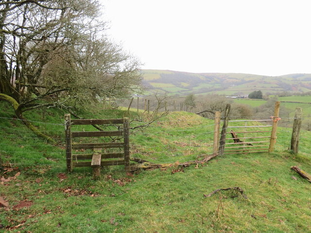
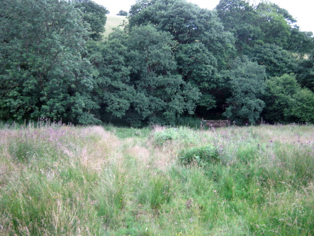
Cyffordd o lwybrau / A junction of paths Cyffordd o lwybrau cyhoeddus ger Ffarm Rhiwgoch.

A junction of public footpaths near Rhiwgoch Farm (trans. red slope / hill).
Cyffordd o lwybrau / A junction of paths
Cyffordd o lwybrau cyhoeddus ger Ffarm Rhiwgoch. A junction of public footpaths near Rhiwgoch Farm (trans. red slope / hill).
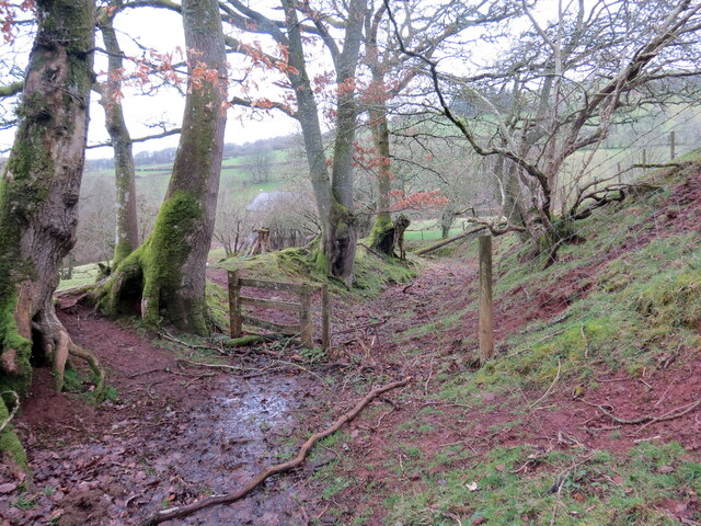
Llwybr i Dynycwm / Path to Tynycwm Llwybr cyhoeddus yn mynd i lawr y waered i gyfeiriad Tynycwm a'r heol.

A public footpath descending the hill towards Tynycwm (trans. valley homestead) and the road.
Llwybr i Dynycwm / Path to Tynycwm
Llwybr cyhoeddus yn mynd i lawr y waered i gyfeiriad Tynycwm a'r heol. A public footpath descending the hill towards Tynycwm (trans. valley homestead) and the road.
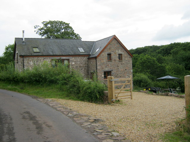
Llwybr i Dynycwm / Path to Tynycwm Llwybr cyhoeddus yn agosau at yr heol ac anhedd-dy o'r enw Tynycwm.

A public footpath approaching the road and a property known as Tynycwm (trans. valley homestead).
Llwybr i Dynycwm / Path to Tynycwm
Llwybr cyhoeddus yn agosau at yr heol ac anhedd-dy o'r enw Tynycwm. A public footpath approaching the road and a property known as Tynycwm (trans. valley homestead).
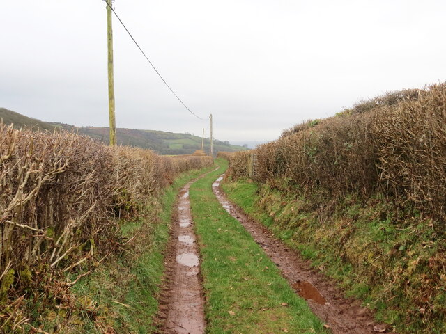
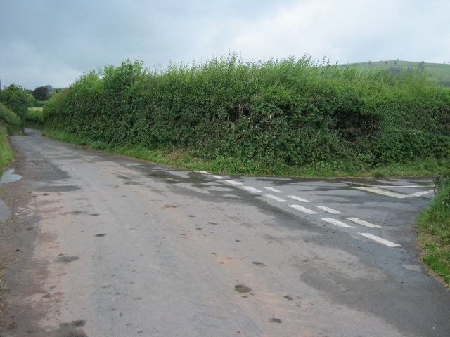
Heol las i Soar / Green lane to Soar Hen heol las yn arwain at bentre Soar.

An old green road heading towards Soar village.
Heol las i Soar / Green lane to Soar
Hen heol las yn arwain at bentre Soar. An old green road heading towards Soar village.
Ordnance Survey Rivet This damaged OS rivet can be found on the SW parapet of the bridge. It marked a point 225.988m above mean sea level.
Ordnance Survey Rivet
This damaged OS rivet can be found on the SW parapet of the bridge. It marked a point 225.988m above mean sea level.
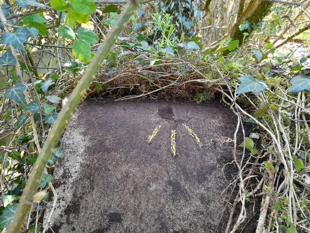
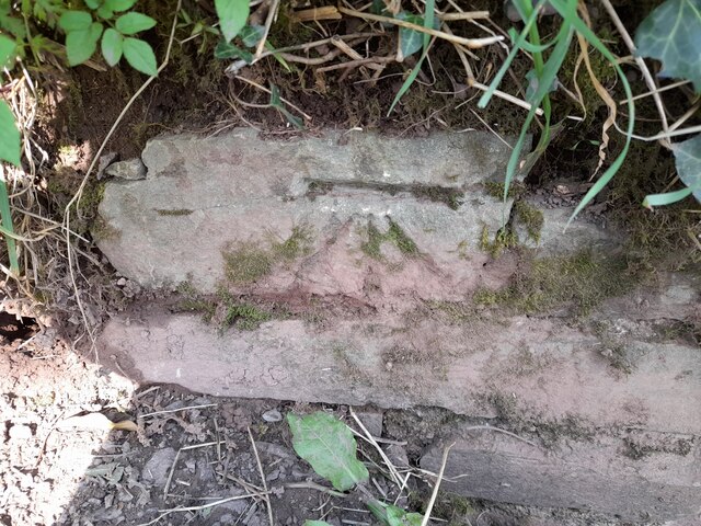
Ordnance Survey Cut Mark This OS cut mark can be found on the culvert NE side of the road. It marks a point 221.803m above mean sea level.
Ordnance Survey Cut Mark
This OS cut mark can be found on the culvert NE side of the road. It marks a point 221.803m above mean sea level.
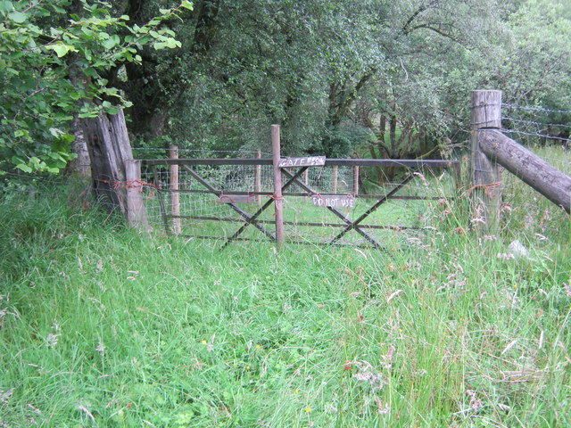
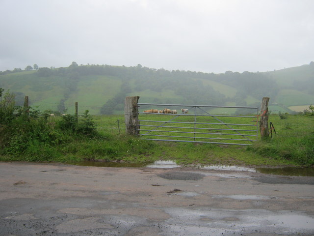
Public footpath blocked by broken gate held to gate posts with baling twine
Cart bridge which had given access over an unnamed watercourse to Fotty-wen-isaf
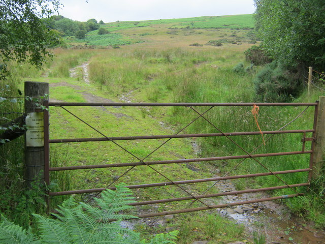
Bridleway to Maen Richard
Field gate access to bridleway over common land
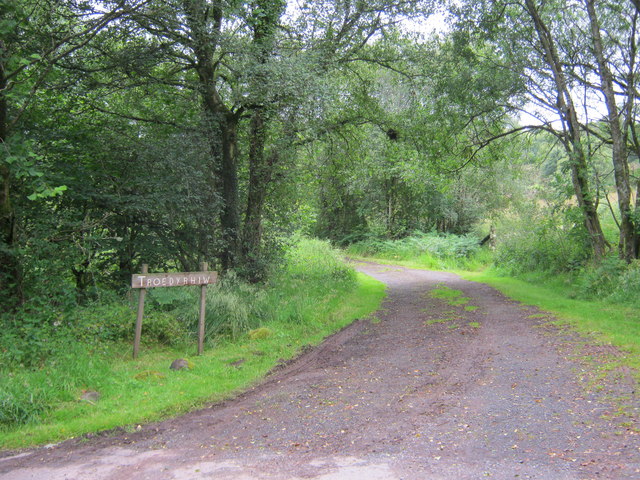
Drive to Troed y rhiw
Cil-fyndd
Cil-fyndd
Waymarked route in Tir Gofal access land
Path to gate at south of this Tir Gofal access land
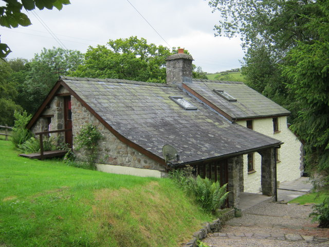
A view from the north of Tyn Y Cwm
Right turn to Tyn Y Cwm off the road to Llanfihangel Nant Bran
Field gate to access grazing land off the Llanfihangel Nant Bran road
Show me another place!

Maen Richard is located at Grid Ref: SN9634 (Lat: 51.998, Lng: -3.508)

Unitary Authority: Powys

Police Authority: Dyfed Powys

What 3 Words

///instructs.reverses.wages. Near Brecon, Powys

Related Wikis

Yscir with Honddu Isaf and Llanddew

Yscir with Honddu Isaf and Llanddew (formerly known as Yscir) is the name of an electoral ward in southern Powys, Wales. It covers five local government...

Llanfihangel Nant Brân

Llanfihangel Nant Brân is a small village lying next to the Nant Brân river in Powys, Wales about 7.5 miles (12 km) west of Brecon. It is largely a farming...

Soar, Powys

Soar is a small village in Powys, Wales, 37 miles North West of Cardiff. It sits at the foot of Mynydd Epynt, and is near Brecon in the historic county...

Merthyr Cynog

Merthyr Cynog is a hamlet and a community in the modern county of Powys, Wales, in the historic county of Brecknockshire. The population of the community...

Nearby Amenities

Located within 500m of 51.998,-3.508
Maen Richard
Man Made: survey_point
Lat/Long: 52.0020744/-3.5089391
The data included in this document is from www.openstreetmap.org. The data is made available under ODbL.

Have you been to Maen Richard?

Leave your review of Maen Richard below (or comments, questions and feedback).