Knowe of Holland
Heritage Site in Orkney
Scotland
Knowe of Holland
The requested URL returned error: 429 Too Many Requests
If you have any feedback on the listing, please let us know in the comments section below.
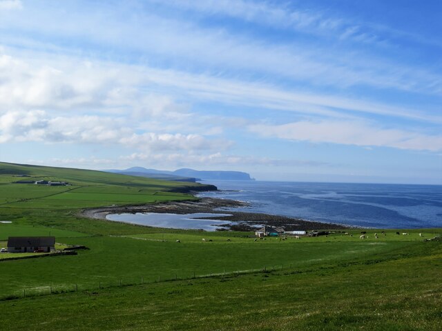
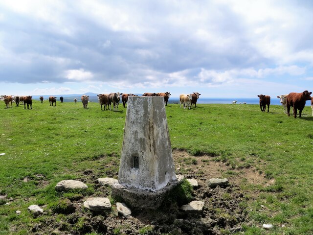
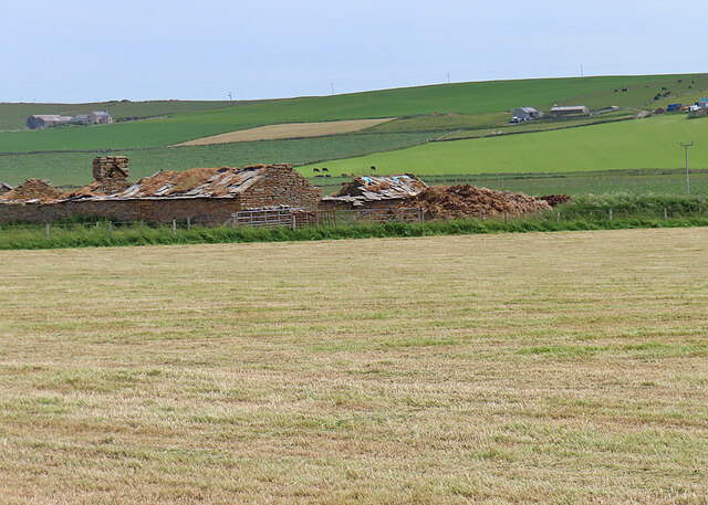
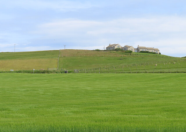
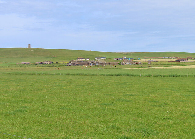
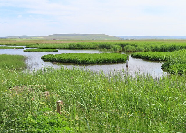
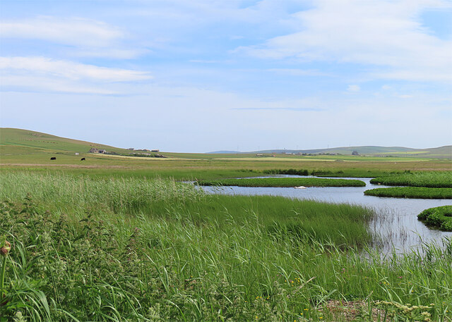
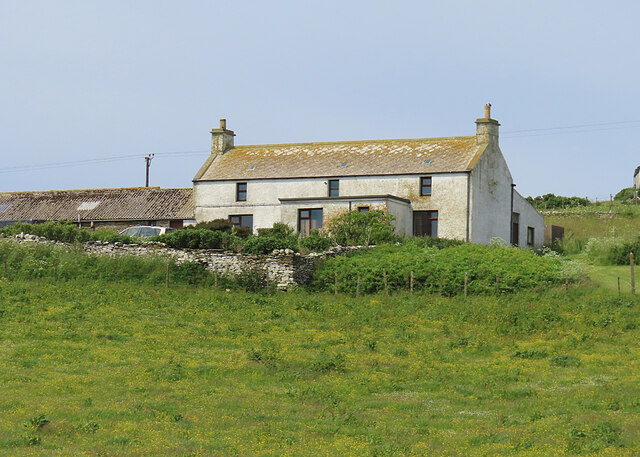
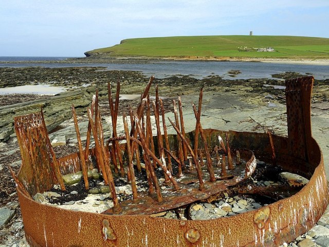
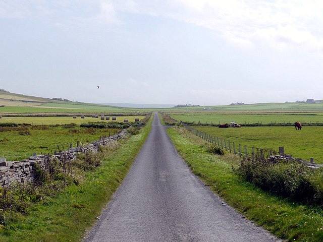
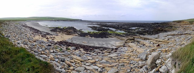
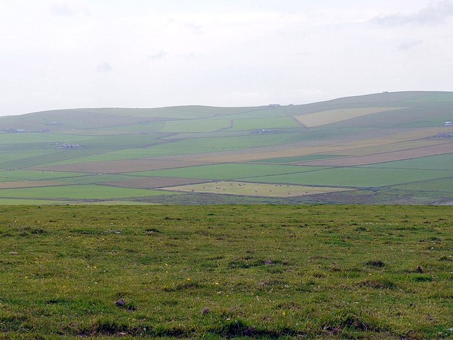
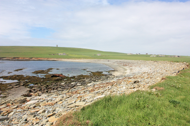
Knowe of Holland Images
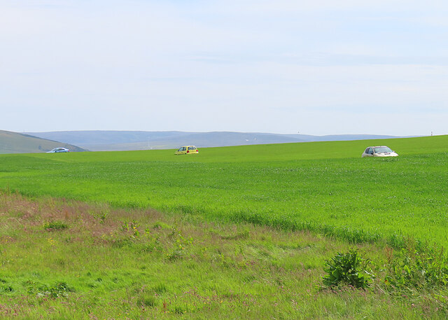
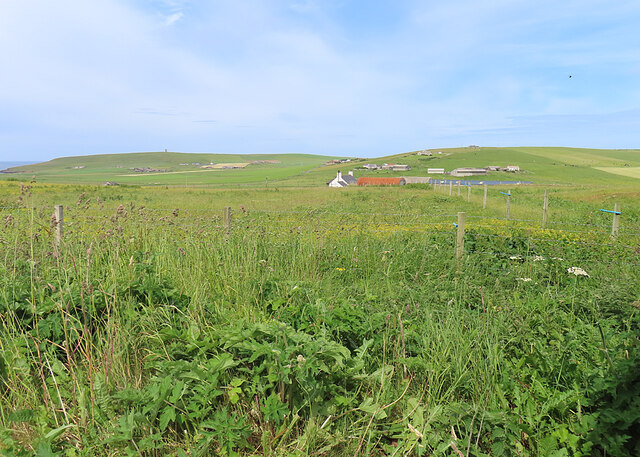
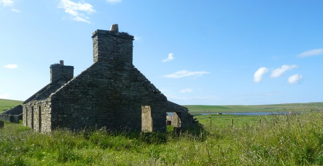
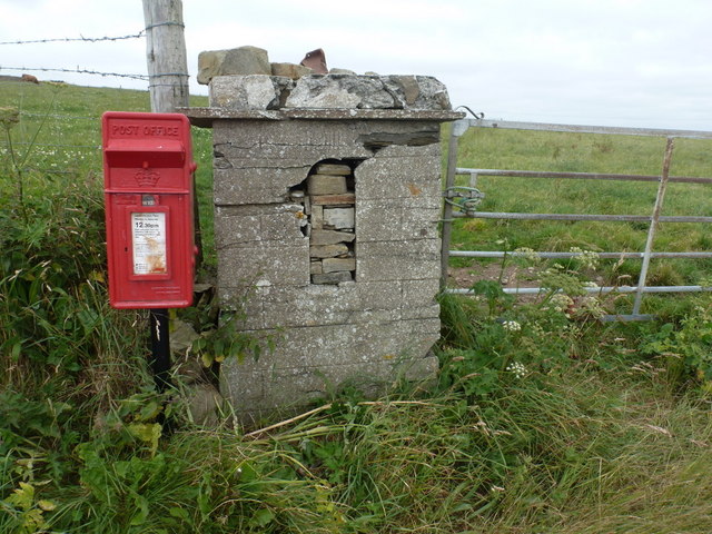
Images are sourced within 2km of 59.092/-3.318 or Grid Reference HY2423. Thanks to Geograph Open Source API. All images are credited.

Knowe of Holland is located at Grid Ref: HY2423 (Lat: 59.092, Lng: -3.318)
Unitary Authority: Orkney Islands
Police Authority: Highlands and Islands
What 3 Words
///wishes.outings.nicely. Near Sandwick, Orkney Islands
Nearby Locations
Related Wikis

RNAS Twatt (HMS Tern)
Royal Naval Air Station Twatt, (RNAS Twatt; or HMS Tern) is a former Royal Navy Air Station located near Twatt, Orkney, Scotland. It was built by the Admiralty...

Twatt, Orkney
Twatt is a settlement in the parish of Birsay on the Mainland of Orkney, Scotland. It was previously the location of RNAS Twatt (HMS Tern), 1940–1949....

Loch of Boardhouse
The Loch of Boardhouse is a freshwater loch in the parish of Birsay in the north west of the mainland of Orkney, Scotland. It acts as a reservoir for public...
RAF Skeabrae
Royal Air Force Skeabrae, or more simply RAF Skeabrae, is a former Royal Air Force station located in Orkney, Mainland, United Kingdom. == History == The...
Nearby Amenities
Located within 500m of 59.092,-3.318Have you been to Knowe of Holland?
Leave your review of Knowe of Holland below (or comments, questions and feedback).