Plasketlands

Settlement in Cumberland Allerdale

England

Plasketlands

Newtown Newtown Village from Westlands
Newtown Credit: P Gaskell

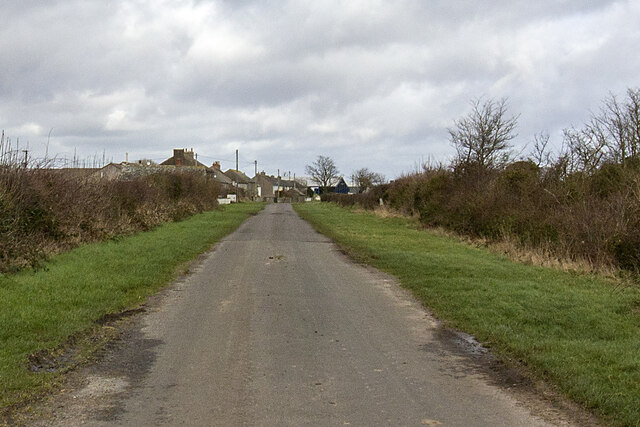
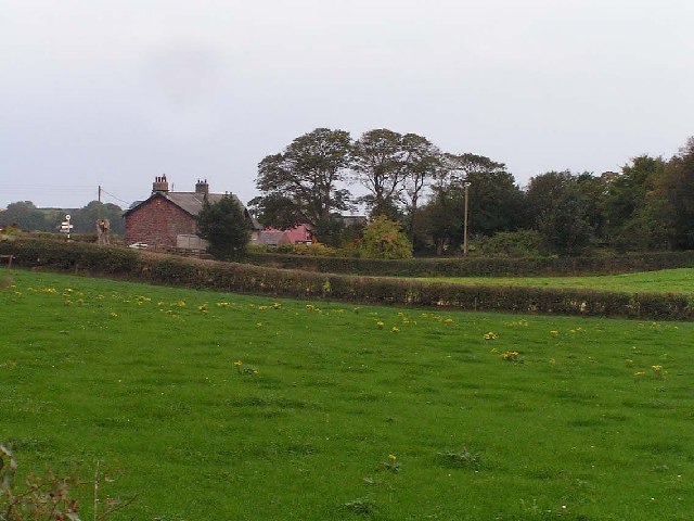
Plasketlands is a charming rural village located in the heart of Cumberland, a picturesque county in the northwest of England. Situated amidst rolling hills and lush green fields, this idyllic settlement offers a peaceful and tranquil environment for its residents and visitors alike.

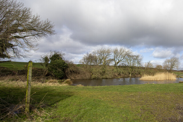
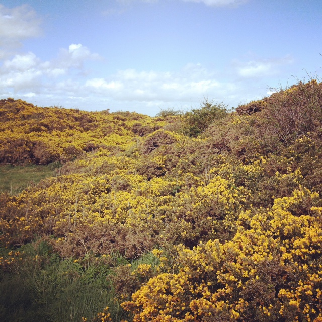
The village is renowned for its stunning natural beauty, with breathtaking landscapes that attract nature lovers and outdoor enthusiasts. Plasketlands is surrounded by an abundance of walking trails, offering scenic routes through the countryside, woodlands, and nearby rivers. These trails provide an opportunity to explore the diverse flora and fauna that thrive in the area.

Despite its rural setting, Plasketlands boasts a thriving community spirit. The village is home to a close-knit population that takes pride in maintaining its heritage and preserving the local traditions. The residents often organize community events and festivals, providing opportunities for people to come together and celebrate.

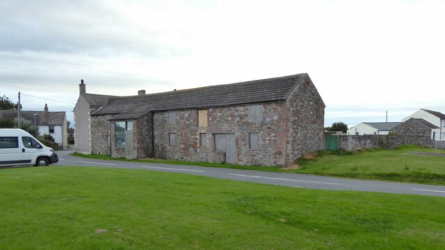
Plasketlands offers a range of amenities to cater to the needs of its residents. The village has a primary school, a small local shop, and a village hall that serves as a hub for social gatherings and events. For additional amenities, residents can easily access the nearby town of Cumberland, which is just a short drive away.

Overall, Plasketlands is a charming and serene village that offers a perfect retreat from the hustle and bustle of city life. Its stunning natural landscapes, strong community spirit, and convenient location make it an ideal place to live or visit for those seeking a peaceful countryside experience.

If you have any feedback on the listing, please let us know in the comments section below.
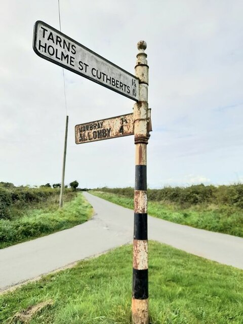
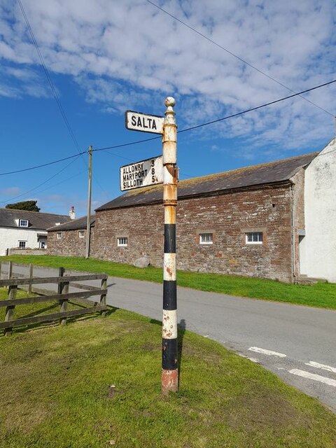
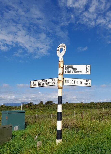
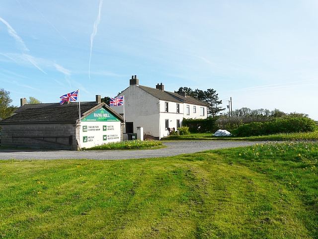
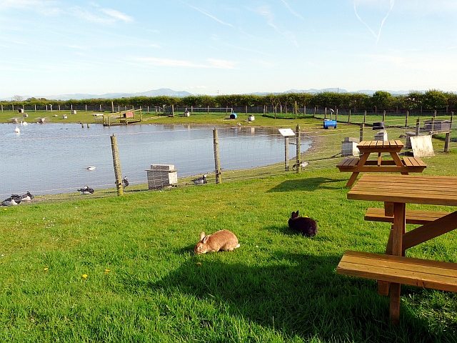
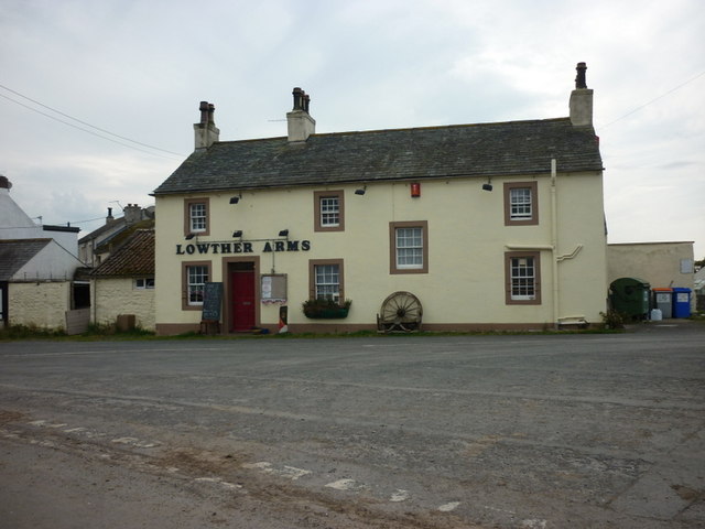
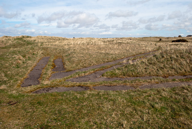
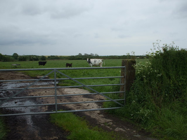
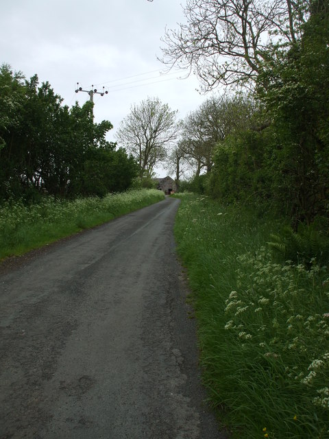
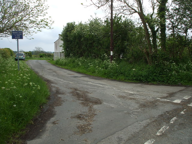
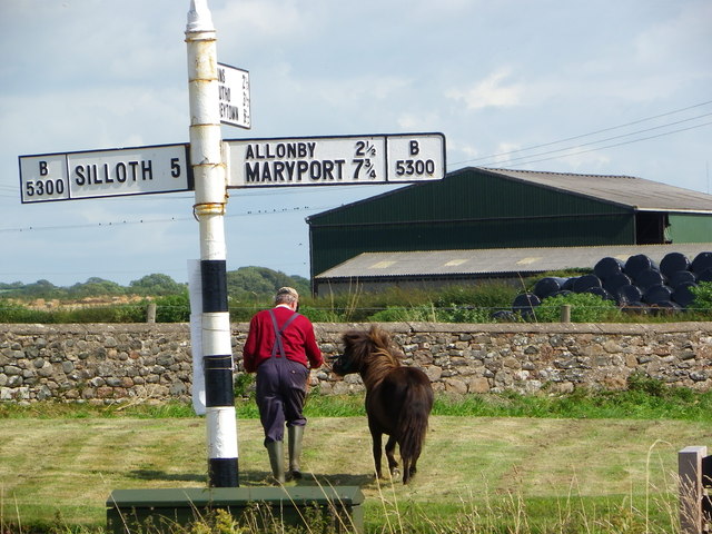
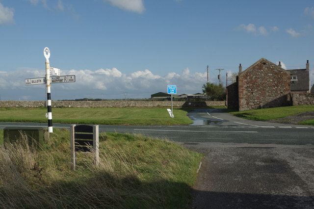
Plasketlands Images

Images are sourced within 2km of 54.806861/-3.40096 or Grid Reference NY1046. Thanks to Geograph Open Source API. All images are credited.

Newtown Newtown Village from Westlands
Newtown
Newtown Village from Westlands
Edderside village pond Footpath at Edderside
Edderside village pond
Footpath at Edderside
Brookside Farm Appears a restoration project?
Brookside Farm
Appears a restoration project?
Beach at Mawbray Bank Nature Reserve
Direction Sign – Signpost near Newtown Located on a grass triangle on the southeast side of the junction at the south end of Newtown. Holme St. Cuthbert parish. 3 arms, 1 missing, and pawn finial. The lost arm said BECKFOOT 1¾ / SILLOTH 4½ and was lost some time after 2011.

Milestone Society National ID: CU_NY0948
Direction Sign – Signpost near Newtown
Located on a grass triangle on the southeast side of the junction at the south end of Newtown. Holme St. Cuthbert parish. 3 arms, 1 missing, and pawn finial. The lost arm said BECKFOOT 1¾ / SILLOTH 4½ and was lost some time after 2011. Milestone Society National ID: CU_NY0948
Direction Sign – Signpost at Mawbray Located in Mawbray at the east corner of the grass triangle containing a playground.  Holme St Cuthbert parish. 3 arms, 1 missing, and pawn finial. The missing arm said HOLME ST CUTHBERTS 1¼ and was lost some time after April 2011.

Milestone Society National ID: CU_NY0846A
Direction Sign – Signpost at Mawbray
Located in Mawbray at the east corner of the grass triangle containing a playground. Holme St Cuthbert parish. 3 arms, 1 missing, and pawn finial. The missing arm said HOLME ST CUTHBERTS 1¼ and was lost some time after April 2011. Milestone Society National ID: CU_NY0846A
Direction Sign – Signpost at Mawbray Located on the northeast side of the crossroads in Mawbray.  Holme St Cuthbert parish. 3 arms and annulus finial. See also <a title="https://www.geograph.org.uk/photo/6038749" href="https://www.geograph.org.uk/photo/6038749">Link</a> , <a title="https://www.geograph.org.uk/photo/4133664" href="https://www.geograph.org.uk/photo/4133664">Link</a> and <a title="https://www.geograph.org.uk/photo/4815088" href="https://www.geograph.org.uk/photo/4815088">Link</a>.

Milestone Society National ID: CU_NY0846
Direction Sign – Signpost at Mawbray
Located on the northeast side of the crossroads in Mawbray. Holme St Cuthbert parish. 3 arms and annulus finial. See also Link , Link and Link. Milestone Society National ID: CU_NY0846
Entrance to Bank Mill Nurseries and Visitor Centre Plant nursery with added attractions, including coffee shop, butterfly and reptile house, and nature reserve <span class="nowrap"><a title="http://www.bankmillnurseries.co.uk/index.php" rel="nofollow ugc noopener" href="http://www.bankmillnurseries.co.uk/index.php">Link</a><img style="margin-left:2px;" alt="External link" title="External link - shift click to open in new window" src="https://s1.geograph.org.uk/img/external.png" width="10" height="10"/></span> .
Entrance to Bank Mill Nurseries and Visitor Centre
Plant nursery with added attractions, including coffee shop, butterfly and reptile house, and nature reserve LinkExternal link .
Wildlife pond and picnic area, Bank Mill Nurseries Taken on Easter Sunday, so it was nice to see some bunnies.
Several species of indigenous and exotic waterfowl were at the pond, including barnacle geese (left).
For information see Bank Mill website <span class="nowrap"><a title="http://www.bankmillnurseries.co.uk/nature.php" rel="nofollow ugc noopener" href="http://www.bankmillnurseries.co.uk/nature.php">Link</a><img style="margin-left:2px;" alt="External link" title="External link - shift click to open in new window" src="https://s1.geograph.org.uk/img/external.png" width="10" height="10"/></span> .
Wildlife pond and picnic area, Bank Mill Nurseries
Taken on Easter Sunday, so it was nice to see some bunnies. Several species of indigenous and exotic waterfowl were at the pond, including barnacle geese (left). For information see Bank Mill website LinkExternal link .
The entrance to Bank Mill Nurseries
The Lowther Arms, Mawbray
Mawbray bombing arrow WW2 This arrow was set into the dunes on Mawbray Bank during World War 2 to guide aircraft pilots into the targets set for them in the Solway Firth.  Take a look here <span class="nowrap"><a title="http://www.users.globalnet.co.uk/~rwbarnes/defence/ranges.htm#brg" rel="nofollow ugc noopener" href="http://www.users.globalnet.co.uk/~rwbarnes/defence/ranges.htm#brg">Link</a><img style="margin-left:2px;" alt="External link" title="External link - shift click to open in new window" src="https://s1.geograph.org.uk/img/external.png" width="10" height="10"/></span> for more information.
Mawbray bombing arrow WW2
This arrow was set into the dunes on Mawbray Bank during World War 2 to guide aircraft pilots into the targets set for them in the Solway Firth. Take a look here LinkExternal link for more information.
Field of cows & calves High Plasketlands
Field of cows & calves
High Plasketlands
Rural lane to Cowgate Cowgate is a rambling farm near Mawbray.
Rural lane to Cowgate
Cowgate is a rambling farm near Mawbray.
Minor road junction at Cowgate The road on the left heads towards Holme St Cuthbert and has a 7.5T weight limit on it.
Minor road junction at Cowgate
The road on the left heads towards Holme St Cuthbert and has a 7.5T weight limit on it.
Mawbray Sign Post Sign post on the B5300 shore road at Mawbray.
Mawbray Sign Post
Sign post on the B5300 shore road at Mawbray.
Crossroads at Mawbray The B5300 Maryport - Silloth coast road passes to the west of Mawbray village, which is reached by the lane straight ahead. The road to the rear of the photographer gives access to the car park for the Mawbray Banks nature reserve.
Crossroads at Mawbray
The B5300 Maryport - Silloth coast road passes to the west of Mawbray village, which is reached by the lane straight ahead. The road to the rear of the photographer gives access to the car park for the Mawbray Banks nature reserve.
Mawbray gorse Gorse bank at Mawbray beach car park.
Mawbray gorse
Gorse bank at Mawbray beach car park.
Show me another place!

Plasketlands is located at Grid Ref: NY1046 (Lat: 54.806861, Lng: -3.40096)

Administrative County: Cumbria

District: Allerdale

Police Authority: Cumbria

What 3 Words

///organist.pizzeria.crumb. Near Aspatria, Cumbria

Nearby Locations

Goodyhills Plasketlands

Related Wikis

Plasketlands

Plasketlands is a small settlement in the civil parish of Holme St. Cuthbert in Cumbria, United Kingdom. It is located approximately a quarter-of-a-mile...

Holme St Cuthbert

Holme St Cuthbert (occasionally Holme St Cuthberts; pronounced and occasionally written Holme Saint Cuthbert) is a small village and civil parish in the...

Holme St Cuthbert School

Holme St. Cuthbert School is a primary school which serves the civil parish of Holme St. Cuthbert in the county of Cumbria, United Kingdom. It is located...

Goodyhills

Goodyhills is a hamlet in the civil parish of Holme St Cuthbert, in northern Cumbria, United Kingdom. It is located 1.5 miles east of the village of Mawbray...

Nearby Amenities

Located within 500m of 54.806861,-3.40096
Plasketlands
Place: locality
Lat/Long: 54.8047563/-3.3950417
Low Plasketlands
Place: locality
Lat/Long: 54.8053044/-3.3968693
High Plasketlands
Place: locality
Lat/Long: 54.806954/-3.40057
Power: pole
Lat/Long: 54.8090282/-3.4068836
Power: pole
Lat/Long: 54.8086343/-3.406063
Power: pole
Lat/Long: 54.8081075/-3.4049309
Power: pole
Lat/Long: 54.807564/-3.4038008
Power: pole
Lat/Long: 54.8069402/-3.4024464
Power: pole
Lat/Long: 54.8063165/-3.4011314
Power: pole
Lat/Long: 54.8056951/-3.3998206
Power: pole
Lat/Long: 54.8061046/-3.3986552
Power: pole
Lat/Long: 54.8064362/-3.3977079
Power: pole
Lat/Long: 54.8072144/-3.3960731
Power: pole
Lat/Long: 54.8080273/-3.3943572
Power: pole
Lat/Long: 54.8035663/-3.3995911
Power: pole
Lat/Long: 54.8046163/-3.3997012
The data included in this document is from www.openstreetmap.org. The data is made available under ODbL.

Have you been to Plasketlands?

Leave your review of Plasketlands below (or comments, questions and feedback).