Normanton on Soar

Settlement in Nottinghamshire Rushcliffe

England

Normanton on Soar

Derby Road, Hathern
Derby Road, Hathern Credit: David Howard

Normanton on Soar is a small village located in the county of Nottinghamshire, England. Situated approximately 13 miles southwest of Nottingham, it lies on the eastern bank of the River Soar. The village is part of the Rushcliffe Borough Council area.

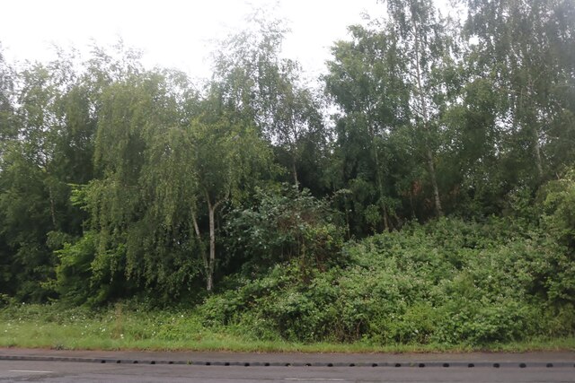
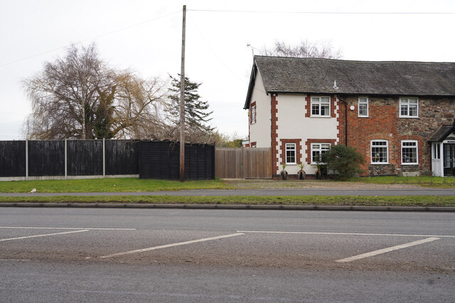
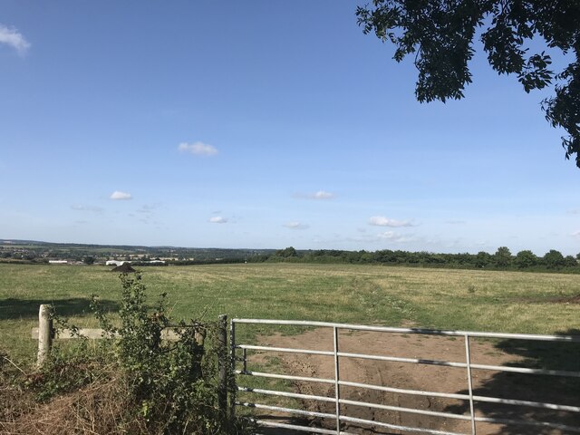
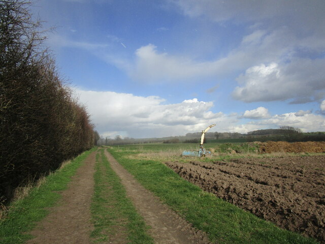
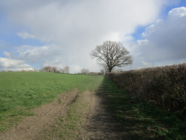
With a population of around 300 people, Normanton on Soar is known for its picturesque countryside and tranquil atmosphere. The village is surrounded by beautiful farmland and offers stunning views of the river. It is a popular destination for those seeking a peaceful retreat or outdoor activities such as hiking, cycling, and fishing.

Normanton on Soar is home to St. James' Church, an Anglican parish church dating back to the 13th century. The church is a Grade II listed building and features an impressive medieval tower. It is a prominent landmark in the village and serves as a place of worship for the local community.

The village has limited amenities, including a traditional pub, The Plough Inn, which provides a cozy atmosphere and serves a range of food and beverages. However, for more extensive services and facilities, residents typically travel to nearby towns such as Loughborough or Nottingham.

Overall, Normanton on Soar offers a peaceful and idyllic setting for those looking to escape the hustle and bustle of city life. Its natural beauty and historic church make it a charming destination for visitors and a desirable place to reside for those seeking a close-knit community in the heart of the English countryside.

If you have any feedback on the listing, please let us know in the comments section below.

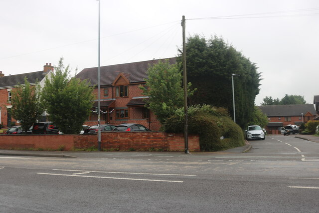
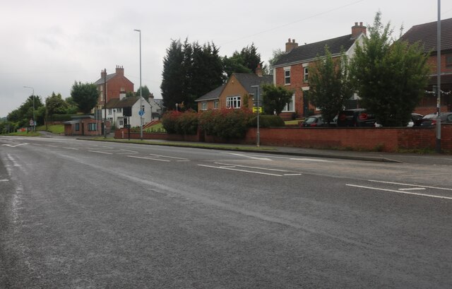
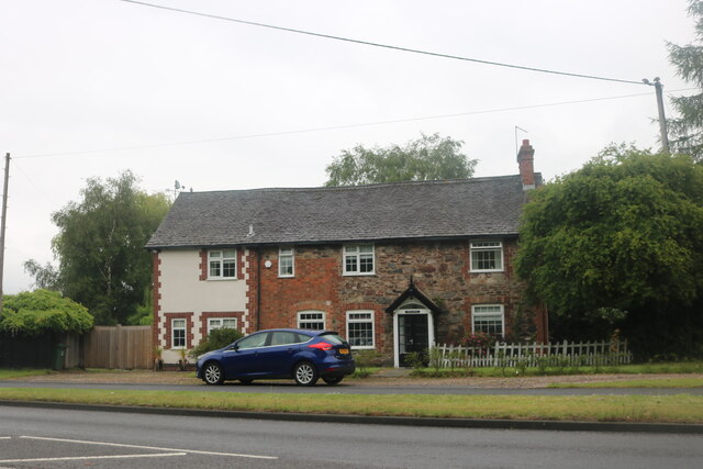
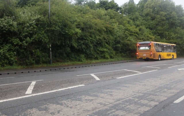
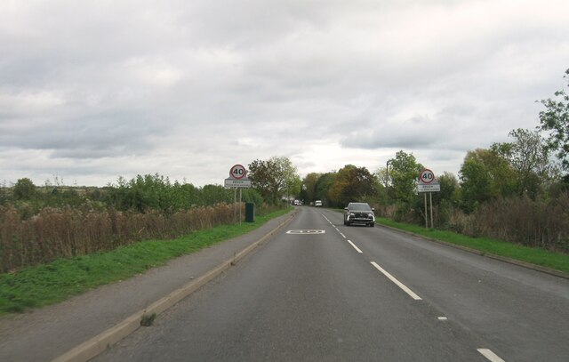
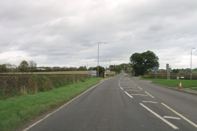
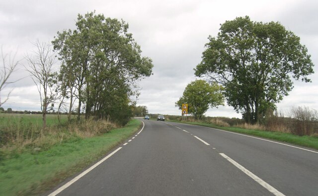
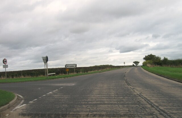
Normanton on Soar Images

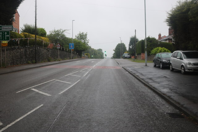
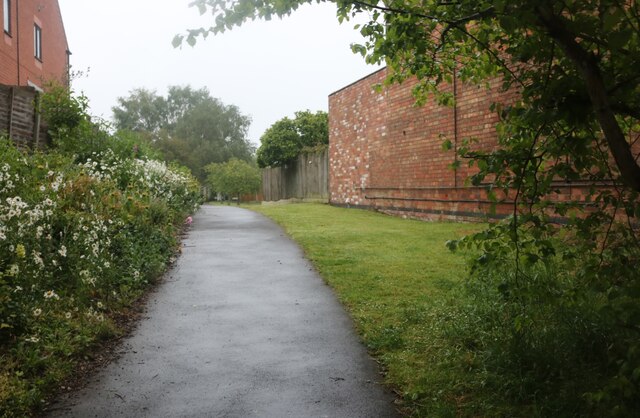
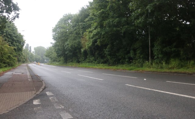
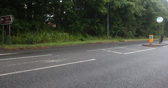
Images are sourced within 2km of 52.80252/-1.2333334 or Grid Reference SK5123. Thanks to Geograph Open Source API. All images are credited.

Derby Road, Hathern
Derby Road, Hathern
Derby Road, Hathern
Derby Road, Hathern
Cottage on Derby Road, Hathern
Derby Road, Hathern
Derby Road, Hathern
Woodland by Derby Road, Hathern
Looking across the A6 The cottages along the A6 are on the edge of Hathern.
Looking across the A6
The cottages along the A6 are on the edge of Hathern.
Field view at junction with A6006
Zouch Road
Zouch Road
Entrance to Zouch
Entrance to Zouch
A6006 eastbound
A6006 eastbound
A6006 eastbound
A6006 eastbound
A6006 eastbound
A6006 eastbound
Loughborough Road, Hathern
Laurie's Lane, Hathern This was tarred and landscaped between 2011 and 2014 from a grass path worn to mud.
Laurie's Lane, Hathern
This was tarred and landscaped between 2011 and 2014 from a grass path worn to mud.
Derby Road, Dishley
Derby Road, Dishley
Derby Road, Dishley
Derby Road, Dishley
Bridleway to West Leake Snow flurries in the distance.
Bridleway to West Leake
Snow flurries in the distance.
Bridleway to Stanford on Soar A snow shower in the distance.
Bridleway to Stanford on Soar
A snow shower in the distance.
Show me another place!

Normanton on Soar is located at Grid Ref: SK5123 (Lat: 52.80252, Lng: -1.2333334)

Administrative County: Nottinghamshire

District: Rushcliffe

Police Authority: Nottinghamshire

What 3 Words

///cursing.strikers.bells. Near Hathern, Leicestershire

Nearby Locations

Normanton on Soar

Related Wikis

Normanton on Soar

Normanton on Soar (), formerly known as Normanton-upon-Soar and known locally as Normanton, is a village and civil parish in the Rushcliffe district of...

St James' Church, Normanton

The Church of St. James is a parish church in the village of Normanton on Soar, Nottinghamshire. The Church was designated as a Grade I listed building...

Hathern railway station

Hathern railway station was a station serving the village of Hathern in Leicestershire, England. == History == It was built by the Midland Railway on the...

Zouch

Zouch is a hamlet in south west Nottinghamshire, England. It is located between Hathern and Normanton on Soar and is situated by the River Soar, which...

Nearby Amenities

Located within 500m of 52.80252,-1.2333334
Normanton on Soar
Is In County: Nottinghamshire
Is In District: Rushcliffe
Place: village
Wikidata: Q2262175
Wikipedia: en:Normanton on Soar
Lat/Long: 52.8036299/-1.2340806
Bus Stop
School
Bus: yes
Local Ref: RU0276
Naptan AtcoCode: 3300RU0276
Naptan Bearing: SE
Naptan CommonName: School
Naptan Indicator: adj
Naptan Landmark: School
Naptan NaptanCode: ntsatgpd
Naptan Notes: BW
Naptan Street: Main Street
Naptan Verified: yes
Public Transport: platform
Shelter: no
Source: naptan_import
Lat/Long: 52.8040395/-1.2361753
Bus Stop
Butt Lane
Bus: yes
Local Ref: RU0358
Naptan AtcoCode: 3300RU0358
Naptan Bearing: SW
Naptan CommonName: Butt Lane
Naptan Indicator: SW-bound
Naptan Landmark: Home Farm
Naptan NaptanCode: ntsagata
Naptan Notes: suggested stop
Naptan Street: Butt Lane
Naptan Verified: yes
Public Transport: platform
Shelter: no
Source: naptan_import
Lat/Long: 52.8026268/-1.233631
School
Naptan AtcoCode: 3300RU0794
Naptan Bearing: NW
Naptan BusStopType: CUS
Naptan CommonName: School
Naptan Indicator: opp
Naptan Landmark: School
Naptan NaptanCode: ntsgpdtj
Naptan Notes: CUS--3300RU0276
Naptan Street: Main Street
Naptan Verified: no
Source: naptan_import
Lat/Long: 52.8039683/-1.2362804
Entrance: main
Lat/Long: 52.8025706/-1.2335168
Note: Closed 2008
Old Amenity: post_office
Source: survey;Geograph photo
Lat/Long: 52.8023278/-1.2325101
Barrier: stile
Lat/Long: 52.8050935/-1.2384709
Ferry Terminal
Lat/Long: 52.8004809/-1.2320457
Barrier: kissing_gate
Lat/Long: 52.8031745/-1.231274
Normanton on Soar Community Shop
Addr Housenumber: 83
Addr Postcode: LE12 5HB
Addr Street: Main Street
Fhrs Id: 939253
Shop: convenience
Lat/Long: 52.8022393/-1.2308621
Entrance: main
Lat/Long: 52.8011761/-1.2320827
Entrance: service
Lat/Long: 52.8012286/-1.2319975
Advertising: board
Operator: Normanton-upon-Soar Parish Council
Lat/Long: 52.8018084/-1.2315716
Entrance: main
Lat/Long: 52.802036/-1.2311151
Post Box
Collection Times: Mo-Fr 09:00; Sa 07:00
Post Box Manufacturer: Carron Company, Stirlingshire
Post Box Type: lamp
Ref: LE12 80D
Royal Cypher: EIIR
Royal Cypher Wikidata: Q33102113
Source: survey
Lat/Long: 52.8021669/-1.2325907
Leisure: playground
Source: survey
Lat/Long: 52.8021967/-1.230386
Bench
Lat/Long: 52.8025151/-1.2330879
Information: map
Operator: Normanton-upon-Soar Parish Council
Source: survey
Tourism: information
Lat/Long: 52.8026145/-1.233328
Barrier: kissing_gate
Lat/Long: 52.8034164/-1.2319556
Barrier: kissing_gate
Lat/Long: 52.8034546/-1.2349747
Bench
Lat/Long: 52.8037911/-1.2355583
Advertising: board
Information: notice_board
Tourism: information
Lat/Long: 52.8037972/-1.2355502
Fixme: continues
Lat/Long: 52.8038083/-1.2346108
Defibrillator
Booth: K6
Covered: booth
Defibrillator Location: inside old red phone box, Main Street, Normanton on Soar
Disused Amenity: telephone
Emergency: defibrillator
Man Made: telephone_box
Source: survey
Lat/Long: 52.804268/-1.2367527
Barrier: kissing_gate
Lat/Long: 52.8055214/-1.2373851
Post Box
Collection Times: Mo-Fr 16:15; Sa 11:00
Post Box Manufacturer: Carron Company, Stirlingshire
Post Box Type: lamp
Ref: LE12 144
Royal Cypher: EIIR
Royal Cypher Wikidata: Q33102113
Source: survey
Lat/Long: 52.805819/-1.2369036
Bench
Source: survey
Lat/Long: 52.805849/-1.2372174
Bench
Source: survey
Lat/Long: 52.8061479/-1.2372621
Grit Bin
Lat/Long: 52.8052469/-1.22869
Power: pole
Lat/Long: 52.8002041/-1.2295084
Power: pole
Lat/Long: 52.7993398/-1.2283792
Fixme: Continues
Lat/Long: 52.8061714/-1.234661
Grit Bin
Source: survey
Lat/Long: 52.8065784/-1.2355998
Bench
Source: survey
Lat/Long: 52.8008869/-1.2319949
Power: substation
Source: survey
Lat/Long: 52.8027598/-1.2334245
Ferry Terminal
Lat/Long: 52.8007162/-1.231625
Normanton-on-Soar Ferry Boat
Information: board
Tourism: information
Lat/Long: 52.8007052/-1.2312587
Barrier: kissing_gate
Lat/Long: 52.8003185/-1.2305237
Barrier: stile
Lat/Long: 52.7993773/-1.228099
Waste Basket
Lat/Long: 52.801801/-1.2315577
Generator Method: photovoltaic
Generator Output Electricity: yes
Generator Source: solar
Generator Type: solar_photovoltaic_panel
Location: roof
Power: generator
Lat/Long: 52.8063808/-1.2352713
Generator Method: photovoltaic
Generator Output Electricity: yes
Generator Source: solar
Generator Type: solar_photovoltaic_panel
Location: roof
Power: generator
Lat/Long: 52.8038249/-1.2366433
Generator Method: photovoltaic
Generator Output Electricity: yes
Generator Source: solar
Generator Type: solar_photovoltaic_panel
Location: roof
Power: generator
Lat/Long: 52.8033218/-1.2359473
Generator Method: photovoltaic
Generator Output Electricity: yes
Generator Source: solar
Generator Type: solar_photovoltaic_panel
Location: roof
Power: generator
Lat/Long: 52.8033948/-1.2358507
Generator Method: photovoltaic
Generator Output Electricity: yes
Generator Source: solar
Generator Type: solar_photovoltaic_panel
Location: roof
Power: generator
Lat/Long: 52.8038002/-1.2349227
Generator Method: photovoltaic
Generator Output Electricity: yes
Generator Source: solar
Generator Type: solar_photovoltaic_panel
Location: roof
Power: generator
Lat/Long: 52.8036879/-1.2308363
Generator Method: photovoltaic
Generator Output Electricity: yes
Generator Source: solar
Generator Type: solar_photovoltaic_panel
Location: roof
Power: generator
Lat/Long: 52.8054564/-1.2369597
The data included in this document is from www.openstreetmap.org. The data is made available under ODbL.

Have you been to Normanton on Soar?

Leave your review of Normanton on Soar below (or comments, questions and feedback).