New Rent

Settlement in Cumberland Eden

England

New Rent

Roadside curiosity
Roadside curiosity Credit: Richard Suddaby

New Rent is a small town located in Cumberland County, Pennsylvania, United States. Nestled in the picturesque Cumberland Valley, it is part of the larger Mechanicsburg metropolitan area. The town covers an area of approximately 2 square miles and has a population of around 1,500 residents.

Known for its rich history, New Rent was initially settled in the early 18th century and was primarily an agricultural community. Today, it retains its rural charm while also embracing modern developments. The town offers a serene and peaceful environment, making it an ideal place for families and individuals seeking a close-knit community atmosphere.

New Rent boasts a variety of amenities and services to cater to its residents' needs. The town features several local businesses, including shops, restaurants, and cafes, providing convenience within walking distance for its residents. Additionally, there are recreational facilities such as parks, playgrounds, and sports fields, offering ample opportunities for outdoor activities and community gatherings.

In terms of education, New Rent is served by the Cumberland Valley School District, which provides excellent educational opportunities for students of all ages. The town also benefits from a low crime rate, ensuring a safe and secure environment for its residents.

New Rent is conveniently located near major transportation routes, including Interstate 81 and the Pennsylvania Turnpike, allowing for easy access to nearby cities and attractions. With its scenic landscapes, friendly community, and convenient amenities, New Rent presents an inviting and comfortable place to live in Cumberland County.

If you have any feedback on the listing, please let us know in the comments section below.
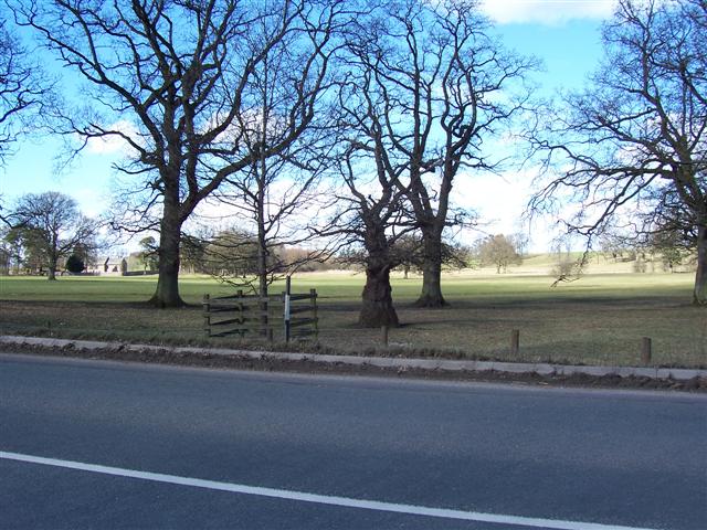
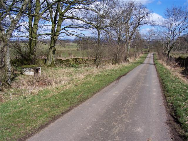
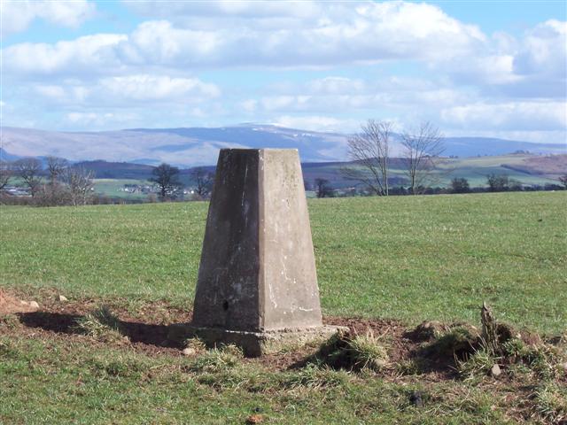
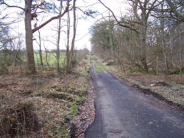
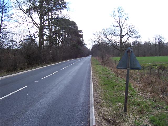
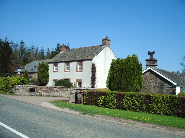
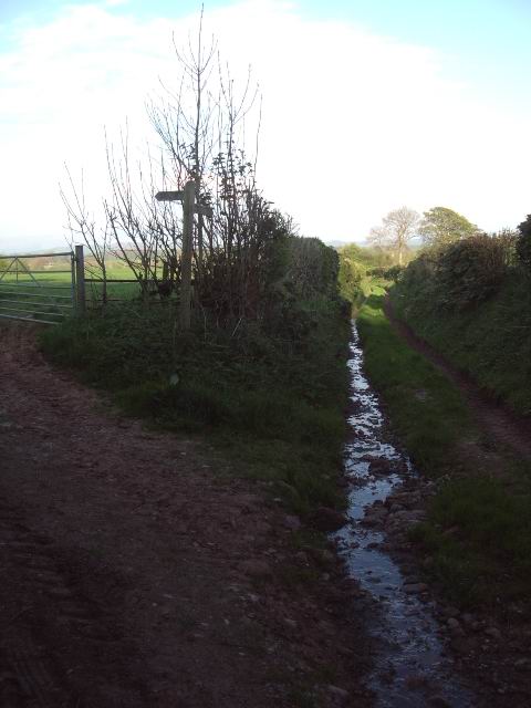
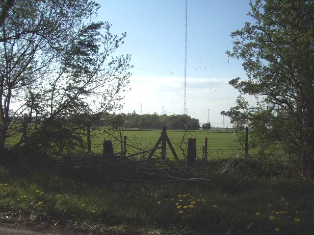
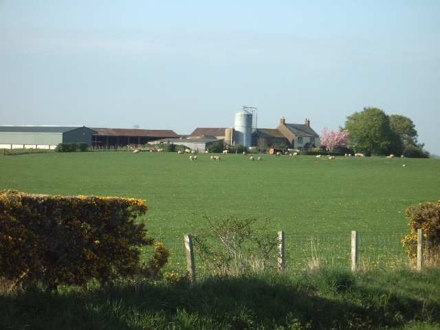
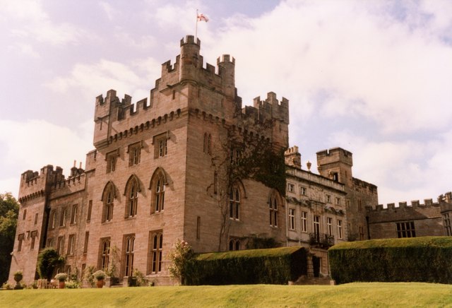
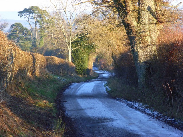
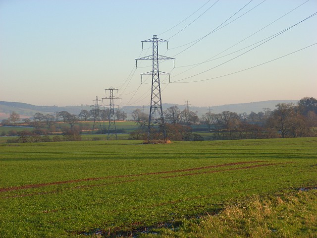
New Rent Images

Images are sourced within 2km of 54.720619/-2.84501 or Grid Reference NY4536. Thanks to Geograph Open Source API. All images are credited.

Roadside curiosity
Roadside curiosity
Do not plough too near the beck! A fairly sandy soil in this area prevents the farmers from cultivating too close or the water will undermine the field.
Do not plough too near the beck!
A fairly sandy soil in this area prevents the farmers from cultivating too close or the water will undermine the field.
Unthank Junction. The area is home to Hutton in the forest and most of the buildings were something to do with the estate.
Unthank Junction.
The area is home to Hutton in the forest and most of the buildings were something to do with the estate.
Wet Muddy Track. Part of the Hutton in the forest estate.
Wet Muddy Track.
Part of the Hutton in the forest estate.
Entrance to Upfront. An art gallery and cafe.
Entrance to Upfront.
An art gallery and cafe.
Hutton in the Forest Parkland Beautiful parkland may have encouraged people to walk to the church showing on the left in the olden days.
Hutton in the Forest Parkland
Beautiful parkland may have encouraged people to walk to the church showing on the left in the olden days.
Road to Hutton Grange with curiosity on left The curiosity looks like an old well filled in and has a trig arrow on top with a name close to it that may be G.Nithehall. but it is bad to make out.
Road to Hutton Grange with curiosity on left
The curiosity looks like an old well filled in and has a trig arrow on top with a name close to it that may be G.Nithehall. but it is bad to make out.
Lid or roof of curiosity.
Trig Stone with Pennines. The highest point of the Pennine range is above the stone and still covered in snow making it blend in with the sky.
Trig Stone with Pennines.
The highest point of the Pennine range is above the stone and still covered in snow making it blend in with the sky.
Tarmac track. There must have been a surplus when they tarmacked the adjacent B5305.
Tarmac track.
There must have been a surplus when they tarmacked the adjacent B5305.
B5305 Penrith to Wigton route. Newly resurfaced along here.
B5305 Penrith to Wigton route.
Newly resurfaced along here.
Glen House, Unthank
Glen House, Unthank
Old road from Skelton to Laithes via Fowrass
Old  gateway The gate has since rotted away, as this gate would not have been used since the construction of Skelton Transmitting Station, which can be seen in the distance.
Old gateway
The gate has since rotted away, as this gate would not have been used since the construction of Skelton Transmitting Station, which can be seen in the distance.
Hutton in the Forest Interesting house and gardens
Hutton in the Forest
Interesting house and gardens
Road above Black Sykes Descending from Hutton Grange. Black Sykes is hidden by the trees on the left.
Road above Black Sykes
Descending from Hutton Grange. Black Sykes is hidden by the trees on the left.
Farmland, Black Sykes One of the two lines of pylons that cross this square.
Farmland, Black Sykes
One of the two lines of pylons that cross this square.
Show me another place!

New Rent is located at Grid Ref: NY4536 (Lat: 54.720619, Lng: -2.84501)

Administrative County: Cumbria

District: Eden

Police Authority: Cumbria

What 3 Words

///mirror.schooling.country. Near Penrith, Cumbria

Related Wikis

Unthank, Skelton

Unthank is a village in the civil parish of Skelton, in Cumbria, England. In 1870-72 the township had a population of 39 as recorded in the Imperial Gazetteer...

Hutton in the Forest

Hutton in the Forest is a Grade I listed country house near the village of Skelton in the historic county of Cumberland, which now forms part of the modern...

Unthank End

Unthank End is a hamlet in Cumbria, England. == See also == Listed buildings in Skelton, Cumbria == References == UK Coal Board The geographic coordinates...

Skelton, Cumbria

Skelton is a small village and civil parish about 7 miles (11 km) north west of Penrith in the English county of Cumbria. It is on the former route of...

Nearby Amenities

Located within 500m of 54.720619,-2.84501
Power: pole
Lat/Long: 54.7244129/-2.8448712
Power: pole
Lat/Long: 54.7237079/-2.8459719
Power: pole
Lat/Long: 54.7228525/-2.8472628
Power: pole
Lat/Long: 54.7220637/-2.8484986
Power: pole
Lat/Long: 54.72174/-2.8501297
Power: pole
Lat/Long: 54.7213904/-2.8517358
Power: pole
Lat/Long: 54.7212329/-2.8473754
Power: pole
Lat/Long: 54.720665/-2.846162
The data included in this document is from www.openstreetmap.org. The data is made available under ODbL.

Have you been to New Rent?

Leave your review of New Rent below (or comments, questions and feedback).