New Rayne
Settlement in Aberdeenshire
Scotland
New Rayne
New Rayne is a small village located in Aberdeenshire, Scotland. Situated approximately 5 miles southwest of the town of Inverurie, it is nestled amidst the beautiful countryside of the region. With a population of around 500 residents, New Rayne exudes a charming and tranquil atmosphere.
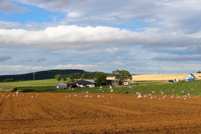
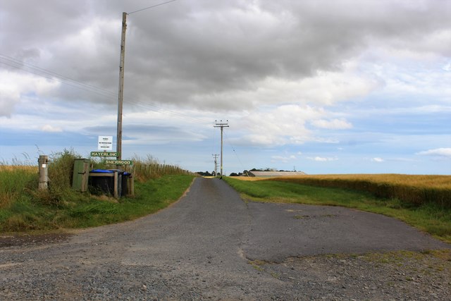
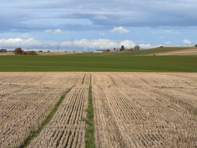
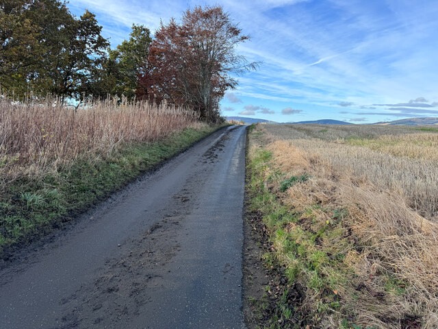
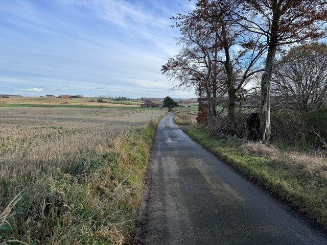
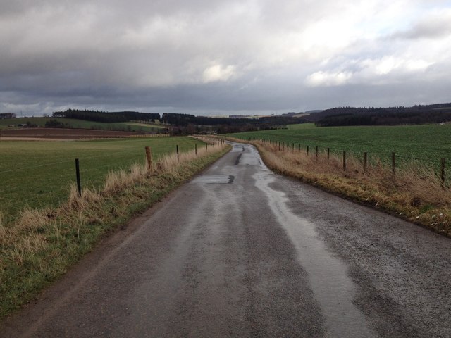
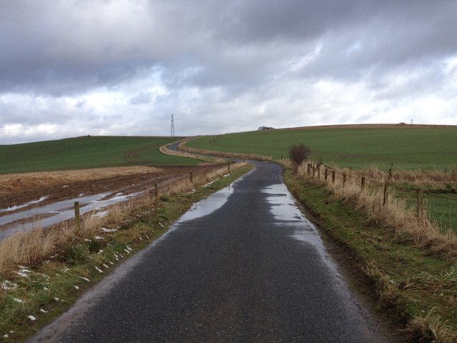
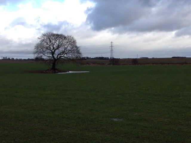
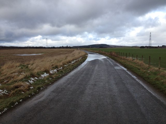
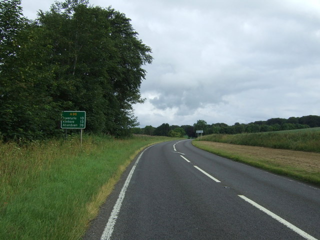
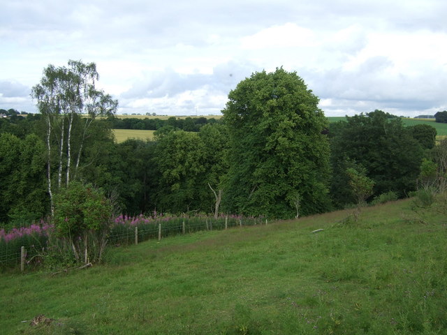
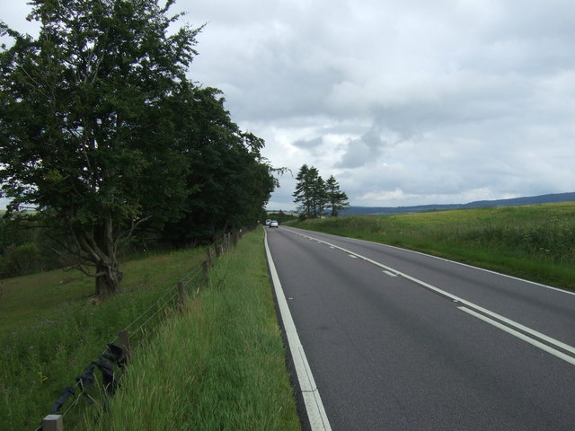
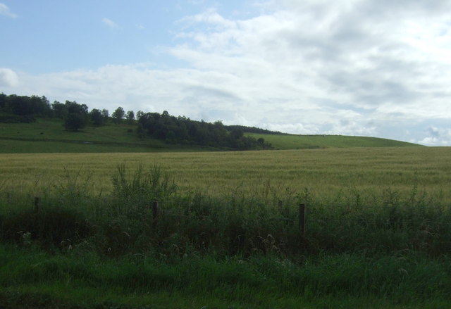
The village is characterized by its picturesque surroundings, with rolling hills, lush green fields, and scattered woodlands. The area is known for its agricultural heritage, and farming remains an integral part of the local economy. The landscape provides an idyllic backdrop for outdoor activities, such as hiking, cycling, and nature walks.
New Rayne boasts a close-knit community, where residents enjoy a strong sense of camaraderie and neighborly support. The village has a primary school, which serves the educational needs of the local children. Additionally, there is a small village hall that serves as a hub for social gatherings and community events.
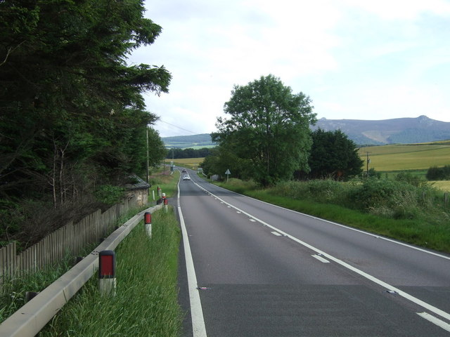
While New Rayne does not have its own shops or amenities, the nearby town of Inverurie provides easy access to a range of facilities, including supermarkets, shops, restaurants, and leisure centers. The village benefits from excellent transport links, with regular bus services connecting it to surrounding towns and cities.
Overall, New Rayne offers a peaceful and rural lifestyle, ideal for those seeking a quiet retreat away from the hustle and bustle of city life. Its stunning natural surroundings, strong community spirit, and proximity to amenities make it an attractive place to call home.
If you have any feedback on the listing, please let us know in the comments section below.
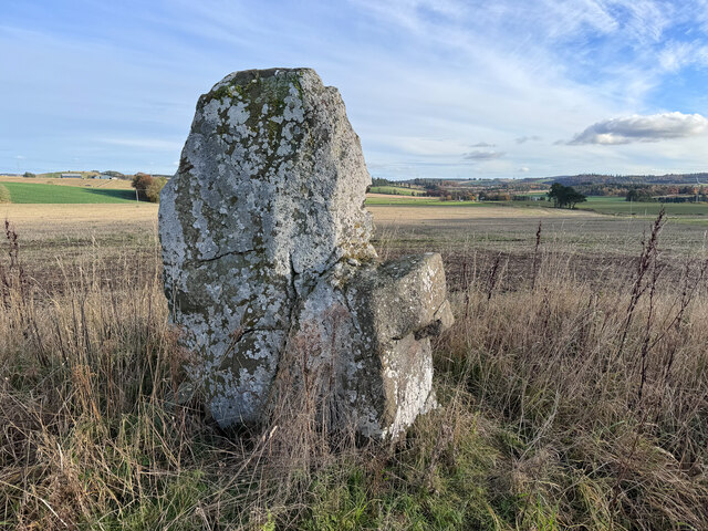
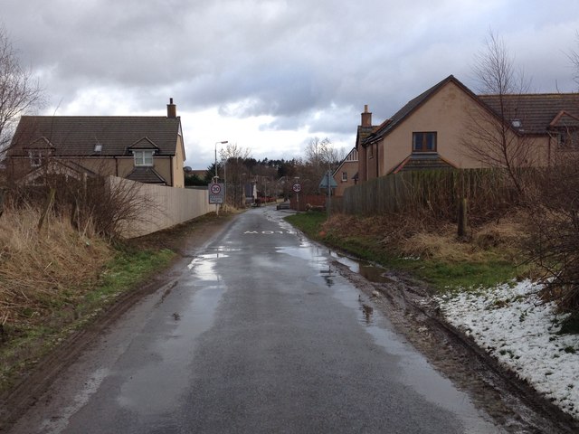
New Rayne Images
Images are sourced within 2km of 57.354358/-2.5411111 or Grid Reference NJ6729. Thanks to Geograph Open Source API. All images are credited.
New Rayne is located at Grid Ref: NJ6729 (Lat: 57.354358, Lng: -2.5411111)
Unitary Authority: Aberdeenshire
Police Authority: North East
What 3 Words
///occupations.meanest.dorm. Near Insch, Aberdeenshire
Nearby Locations
Related Wikis

Bonnyton, Aberdeenshire
Bonnyton is a rural area of Old Rayne in the Garioch area of Aberdeenshire, Scotland.Bonnyton is a small secluded hamlet comprising seven houses, at the...

Culsalmond
Culsalmond was a 16th-century castle about 9.5 miles (15.3 km) south east of Huntly, Aberdeenshire, Scotland, near the river Ury. == History == The castle...
Old Rayne
Old Rayne is a small village in Aberdeenshire, Scotland, approximately 9 miles (14 kilometres) north west of Inverurie and 14 mi (23 km) south east of...
Freefield Castle
Freefield Castle was a castle, about 11.5 miles (18.5 km) north of Inverurie, Aberdeenshire, Scotland, and 1 mile (1.6 km) west of North Rayne.Alternatively...

Westhall Castle
Westhall Castle, also known as Westhall House, is a country house located to the north of Oyne, in Aberdeenshire, Scotland. The house includes a 16th-century...
Oyne railway station
Oyne railway station is a former railway station serving the small village of Oyne, Aberdeenshire. == History == Oyne station was built by the Great North...
Ardoyne, Aberdeenshire
Ardoyne is a rural area near Insch in Aberdeenshire, Scotland. == References ==

Oyne
Oyne is a small village in rural Aberdeenshire at the bottom of Bennachie in Scotland. == Locality == The village has limited local resources. It once...
Nearby Amenities
Located within 500m of 57.354358,-2.5411111Have you been to New Rayne?
Leave your review of New Rayne below (or comments, questions and feedback).