Marton

Settlement in Cheshire

England

Marton

Tree planting adjacent to the Whitegate Way Young trees in a triangular field.
Tree planting adjacent to the Whitegate Way Credit: Stephen Craven

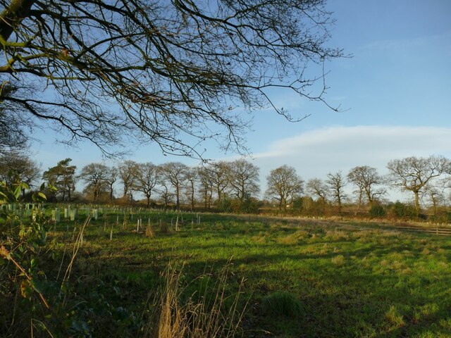
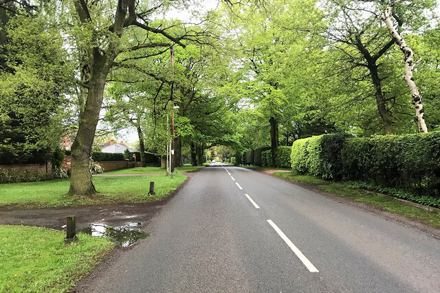
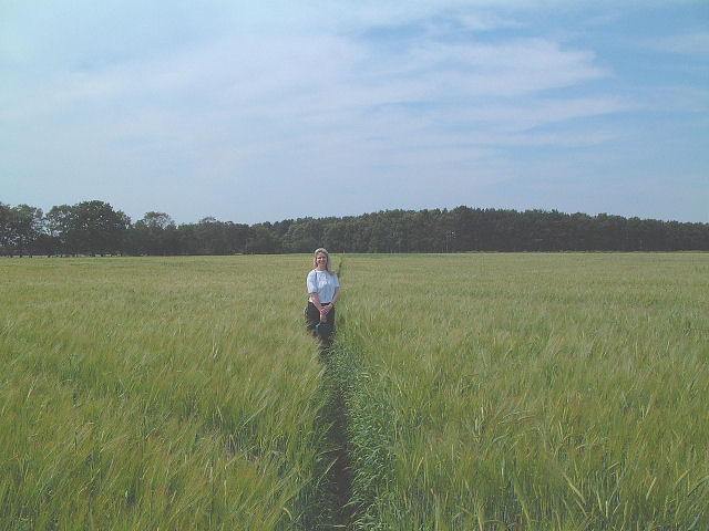
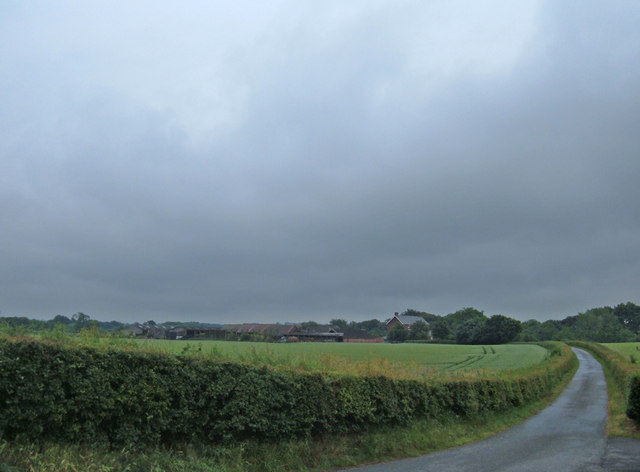
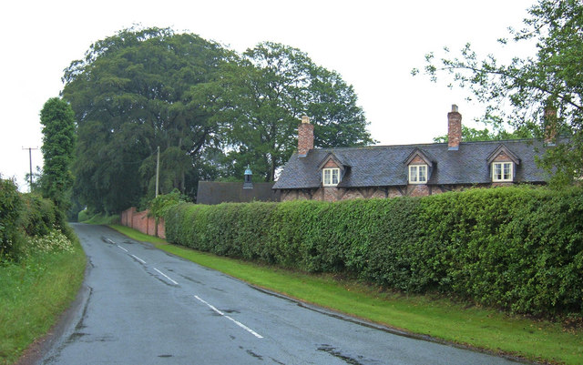
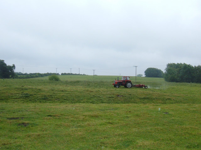
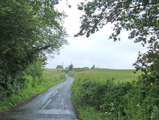
Marton is a small village located in the county of Cheshire, England. Situated about 5 miles southwest of the town of Macclesfield, it falls within the Cheshire East unitary authority. The village is nestled within a rural landscape, surrounded by picturesque countryside and farmland.

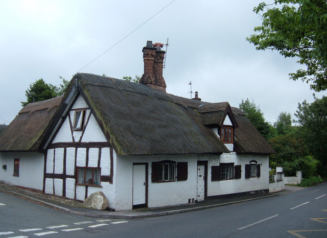
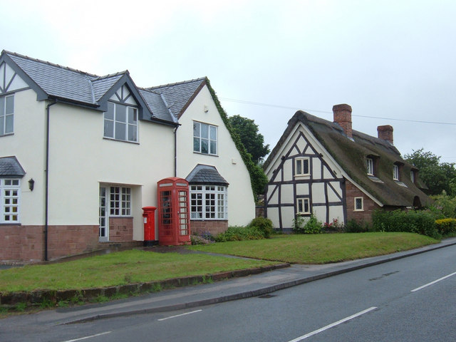
Marton has a rich history dating back to at least the 11th century when it was mentioned in the Domesday Book. The village is known for its charming traditional architecture, with many buildings made from the distinctive local red sandstone. St. James' Church, a Grade II listed building, is a notable landmark in the area and dates back to the 14th century.

Despite its small size, Marton is a close-knit community with a friendly and welcoming atmosphere. The village has a primary school, providing education for local children. Additionally, there is a village hall that serves as a hub for various community activities, including social events and clubs.

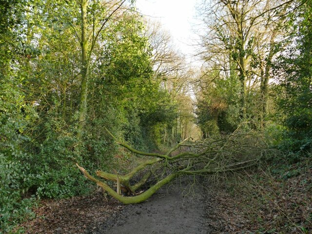
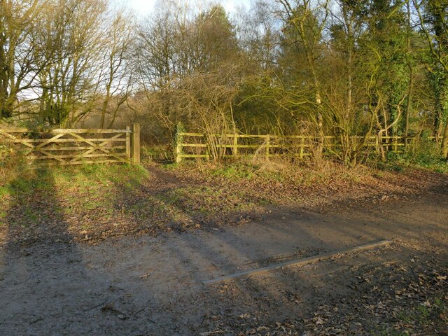
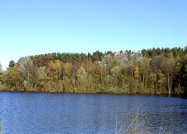
The surrounding countryside offers numerous opportunities for outdoor activities such as walking, cycling, and horse riding. Marton is also located near the Peak District National Park, providing easy access to stunning natural landscapes and popular tourist attractions.

Although Marton is primarily a residential village, nearby towns like Macclesfield offer a wider range of amenities, including shops, supermarkets, and leisure facilities. With good transport links, Marton provides a peaceful and idyllic countryside setting while still offering easy access to the amenities and attractions of nearby towns and cities.

If you have any feedback on the listing, please let us know in the comments section below.
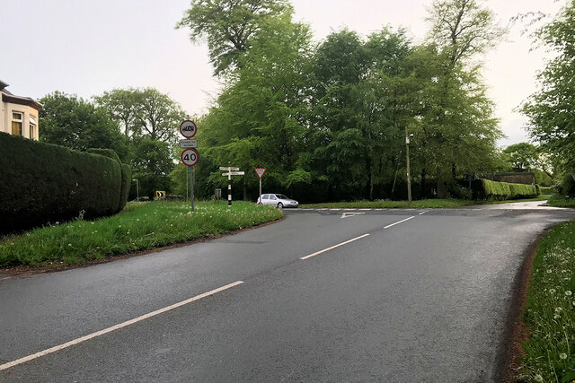
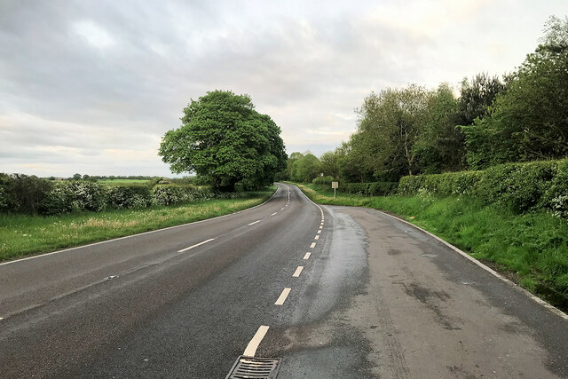
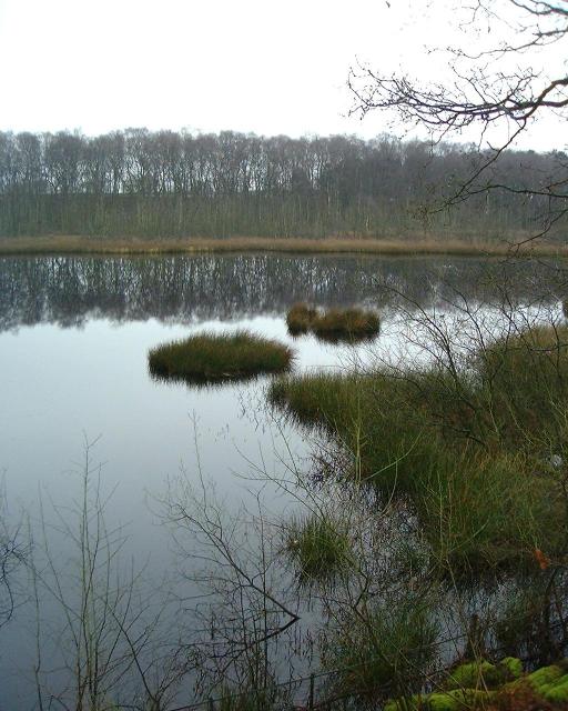
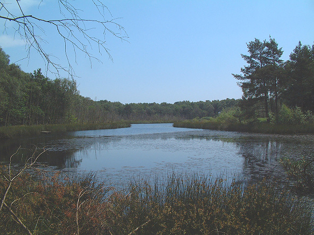
Marton Images

Images are sourced within 2km of 53.208286/-2.5699821 or Grid Reference SJ6268. Thanks to Geograph Open Source API. All images are credited.

Tree planting adjacent to the Whitegate Way Young trees in a triangular field.
Tree planting adjacent to the Whitegate Way
Young trees in a triangular field.
Fallen branch on the Whitegate Way A large branch had come off a mature tree on the embankment.  It was passable for walkers, less easily so for cyclists or horse riders on this permissive bridleway.
Fallen branch on the Whitegate Way
A large branch had come off a mature tree on the embankment. It was passable for walkers, less easily so for cyclists or horse riders on this permissive bridleway.
Rail remnant on the Whitegate Way One of the few pieces of evidence of the former railway is this short length of rail. I don't know why it was not lifted with the rest of the track. There was (and still is) a footpath crossing of the route here, which may be relevant.
Rail remnant on the Whitegate Way
One of the few pieces of evidence of the former railway is this short length of rail. I don't know why it was not lifted with the rest of the track. There was (and still is) a footpath crossing of the route here, which may be relevant.
Dalefords Lane near Pettypool Wood
Foxwist Green Junction of Cinder Hill with Dalefords Lane.
Foxwist Green
Junction of Cinder Hill with Dalefords Lane.
Chester Lane (A54)
Chester Lane (A54)
Pool next to Whitegate Way
Pool close to Whitegate Way This is the pool in the north west corner of the square. The view is from the edge of the grid square looking south east.
Pool close to Whitegate Way
This is the pool in the north west corner of the square. The view is from the edge of the grid square looking south east.
Common Blue Damselfly (Enallagma cyathigerum) I hope I've identified it correctly - I had a look at the British Dragonfly Society website but there were quite a few that look similar so I plumped for the "common" one!
This one was at the water's edge at SJ606689.
Common Blue Damselfly (Enallagma cyathigerum)
I hope I've identified it correctly - I had a look at the British Dragonfly Society website but there were quite a few that look similar so I plumped for the "common" one! This one was at the water's edge at SJ606689.
Step Into Cheshire! The footpath in the south west corner of the square runs straight across a barley field! The view is south west towards the wood in the adjacent square.
Step Into Cheshire!
The footpath in the south west corner of the square runs straight across a barley field! The view is south west towards the wood in the adjacent square.
Newchurch Common The water filled sand workings at Newchurch Common are now an attractive fishing lake.
Newchurch Common
The water filled sand workings at Newchurch Common are now an attractive fishing lake.
Dawn at the Whitegate Way Dawn silhouettes the trees behind Whitegate Station.
Dawn at the Whitegate Way
Dawn silhouettes the trees behind Whitegate Station.
Entrance to Bark House Farm Looking south along the drive to Bark House Farm from its junction with Mill Lane.
Entrance to Bark House Farm
Looking south along the drive to Bark House Farm from its junction with Mill Lane.
Thatched cottage, Whitegate, Cheshire A pretty cottage, but not the best of locations on the junction of Cinder Hill and Grange Lane.
Thatched cottage, Whitegate, Cheshire
A pretty cottage, but not the best of locations on the junction of Cinder Hill and Grange Lane.
Foxwist Green, Whitegate Looking west along Cinder Hill at the Post Office building (shown as such on the OS's Cheshire Street Atlas). It appears now to be used as a private residence but the telephone box and pillar box remain for the local community.
Foxwist Green, Whitegate
Looking west along Cinder Hill at the Post Office building (shown as such on the OS's Cheshire Street Atlas). It appears now to be used as a private residence but the telephone box and pillar box remain for the local community.
Cassia Green Lane Looking southeast down the lane towards the hamlet of Cassia Green. Picture taken from the junction with Clay Lane.
Cassia Green Lane
Looking southeast down the lane towards the hamlet of Cassia Green. Picture taken from the junction with Clay Lane.
Mowing at Marton Green Looking northeast across farmland from down the narrow lane leading off Clay Lane.
Mowing at Marton Green
Looking northeast across farmland from down the narrow lane leading off Clay Lane.
Shays Lane, Winsford This lane is part of National Cycle Route no. 71 although not identified specifically on the OS maps.
Shays Lane, Winsford
This lane is part of National Cycle Route no. 71 although not identified specifically on the OS maps.
Show me another place!

Marton is located at Grid Ref: SJ6268 (Lat: 53.208286, Lng: -2.5699821)

Unitary Authority: Cheshire West and Chester

Police Authority: Cheshire

What 3 Words

///refer.fidget.thudded. Near Over, Cheshire

Related Wikis

Whitegate railway station

Whitegate railway station was the only intermediate station on the Winsford and Over Branch Line, serving the village of Whitegate, Cheshire. The station...

Whitegate and Marton

Whitegate and Marton is a civil parish in the unitary authority of Cheshire West and Chester and the ceremonial county of Cheshire. The parish has one...

St Mary's Church, Whitegate

St Mary's Church is in the village of Whitegate, Cheshire, England. It is an active Anglican parish church in the diocese of Chester, the archdeaconry...

Whitegate, Cheshire

Whitegate is a small village in Cheshire, England, located near the towns of Northwich and Winsford. It is situated in the civil parish of Whitegate and...

Nearby Amenities

Located within 500m of 53.208286,-2.5699821
Cassia Green
Place: hamlet
Lat/Long: 53.206393/-2.566033
Barrier: stile
Foot: yes
Lat/Long: 53.2059361/-2.5719971
Barrier: stile
Foot: yes
Lat/Long: 53.2058625/-2.5704562
Barrier: stile
Foot: yes
Lat/Long: 53.2057672/-2.5721521
Barrier: lift_gate
Bicycle: yes
Foot: yes
Horse: yes
Motor Vehicle: no
Lat/Long: 53.206664/-2.574874
Tourism: picnic_site
Lat/Long: 53.2071615/-2.5764528
Check Date: 2021-11-07
Information: board
Tourism: information
Lat/Long: 53.2071847/-2.5765247
Bench
Lat/Long: 53.2053247/-2.5699241
Barrier: kissing_gate
Foot: yes
Lat/Long: 53.2045608/-2.5674443
Barrier: kissing_gate
Foot: yes
Lat/Long: 53.2046365/-2.5669572
Tourism: picnic_site
Lat/Long: 53.2047765/-2.5674108
Barrier: stile
Lat/Long: 53.2053658/-2.5645994
Entrance: yes
Lat/Long: 53.2096136/-2.5645287
Barrier: kissing_gate
Lat/Long: 53.2121496/-2.5661914
Barrier: kissing_gate
Lat/Long: 53.2108774/-2.5674413
Bench
Lat/Long: 53.2095112/-2.5669961
The data included in this document is from www.openstreetmap.org. The data is made available under ODbL.

Have you been to Marton?

Leave your review of Marton below (or comments, questions and feedback).