Mark Street
Settlement in Sussex Wealden
England
Mark Street
Mark Street is a bustling residential street located in Sussex, a county in the south-east region of England. Situated in a vibrant neighborhood, the street is conveniently positioned close to a range of amenities and attractions, making it an ideal place to live.
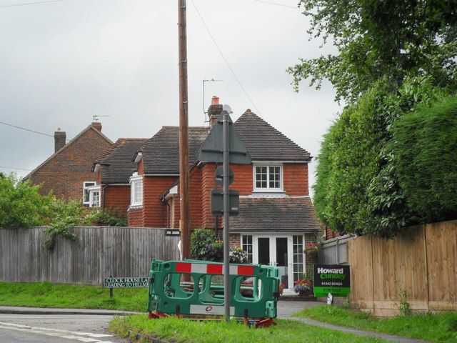
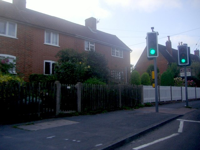
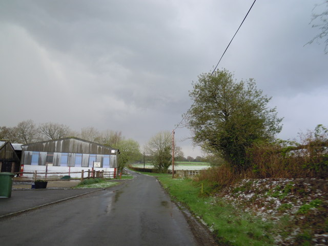
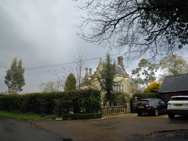
The street itself is characterized by its charming architecture, with rows of traditional terraced houses lining both sides. These well-maintained properties boast beautiful facades, many adorned with colorful flowers and well-kept gardens. The street is tree-lined, providing a scenic and tranquil atmosphere, and offering residents a pleasant environment for leisurely strolls.
Mark Street is well-connected, with several transportation options easily accessible. The local bus routes provide convenient links to nearby towns and cities, while the train station is within walking distance, providing excellent connectivity to major urban centers further afield. Additionally, the street benefits from a network of well-maintained roads, making it easily accessible by car.
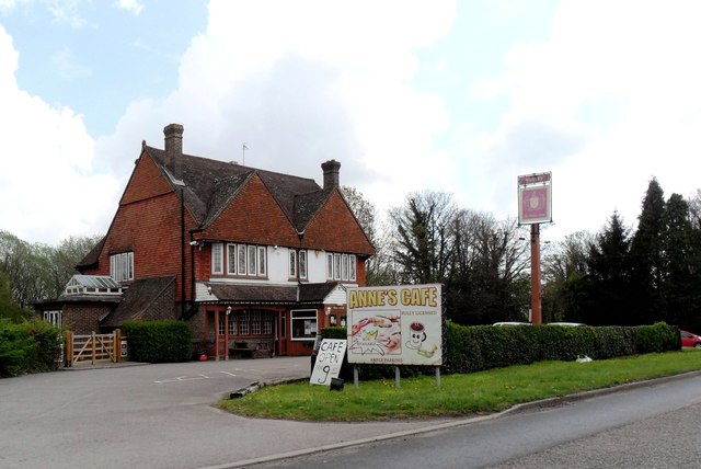
Residents of Mark Street enjoy a host of amenities within close proximity. Local shops, supermarkets, and convenience stores cater to everyday needs, while a variety of restaurants, cafes, and pubs offer a diverse range of dining options. The street is also home to a number of small businesses, including boutiques, salons, and specialty shops.
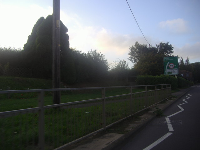
Nature enthusiasts will appreciate the nearby parks and green spaces, providing opportunities for outdoor activities and relaxation. Additionally, the street is conveniently located within reach of cultural attractions, including museums, galleries, and theaters.
Overall, Mark Street in Sussex offers a desirable residential location with its attractive surroundings, convenient amenities, and excellent transport links.
If you have any feedback on the listing, please let us know in the comments section below.
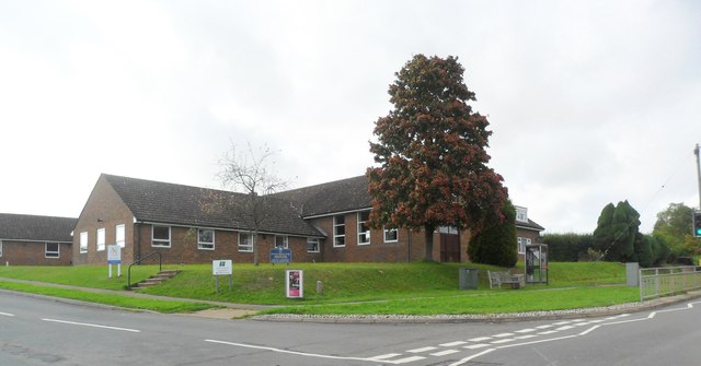
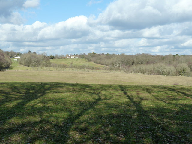
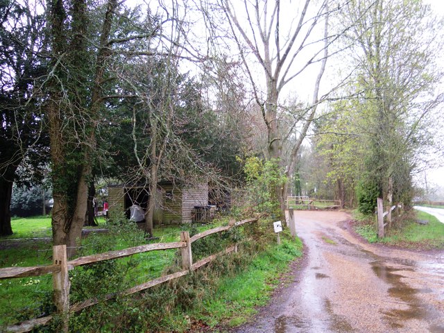
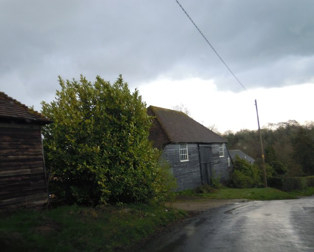
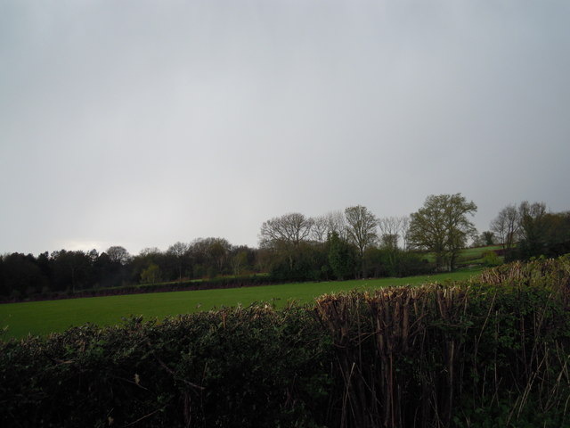
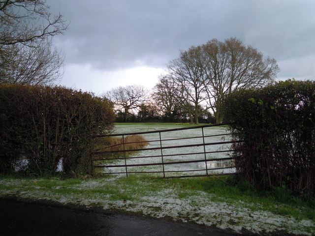
Mark Street Images
Images are sourced within 2km of 51.025989/0.037442471 or Grid Reference TQ4227. Thanks to Geograph Open Source API. All images are credited.
Mark Street is located at Grid Ref: TQ4227 (Lat: 51.025989, Lng: 0.037442471)
Administrative County: East Sussex
District: Wealden
Police Authority: Sussex
What 3 Words
///juggles.slave.fidgeted. Near Horsted Keynes, West Sussex
Nearby Locations
Related Wikis

Nutley, East Sussex
Nutley is a village in the Wealden District of East Sussex, England. It lies about 5 mi (8.0 km) north-west of Uckfield, the main road being the A22. Nutley...

Furner's Green
Furner's Green is a hamlet in the civil parish of Danehill in East Sussex, England. == Geography == Furner's Green lies on the Greenwich Meridian about...
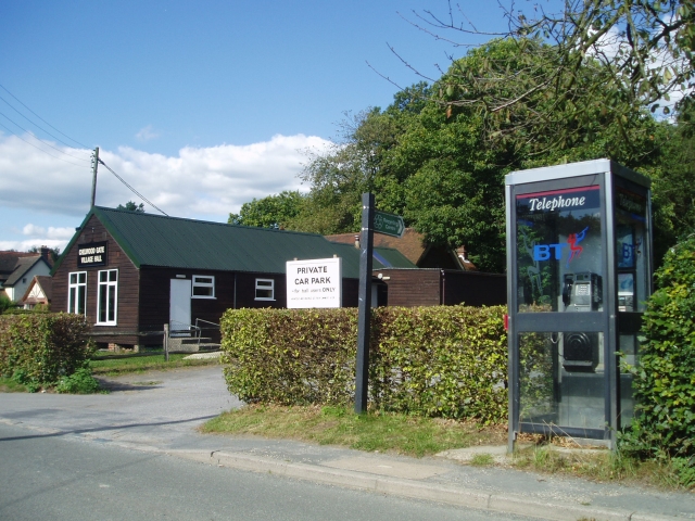
Chelwood Gate
Chelwood Gate is a small village within the civil parish of Danehill in the Wealden district of East Sussex, England. Its nearest town is Uckfield, which...

Danehill, East Sussex
Danehill is a village in East Sussex, England. == Religious sites == There are two Anglican churches in the parish: one at Danehill (dedicated to All Saints...
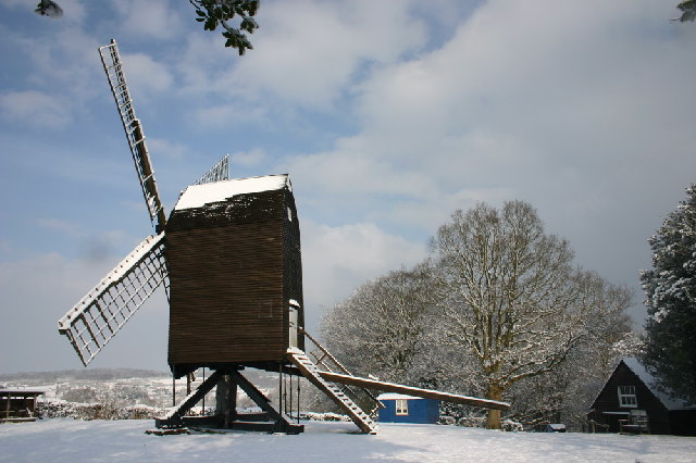
Nutley Windmill
Nutley Windmill is a grade II* listed open trestle post mill at Nutley, East Sussex, England which has been restored to working order. == History == Nutley...

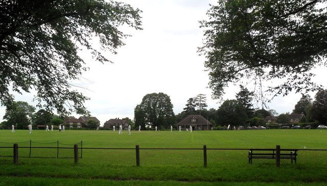
Sheffield Park cricket ground
Sheffield Park is a cricket ground at the Sheffield Park estate, located near Uckfield, East Sussex, England. From 1881 to 1896 it was the home ground...

Sheffield Park and Garden
Sheffield Park and Garden is an informal landscape garden five miles east of Haywards Heath, in East Sussex, England. It was originally laid out in the...

Isaac Roberts' Observatory
Isaac Roberts' Observatory was an observatory, installed in the private home of the British astronomer Isaac Roberts. It was in Crowborough, Sussex, and...
Nearby Amenities
Located within 500m of 51.025989,0.037442471Have you been to Mark Street?
Leave your review of Mark Street below (or comments, questions and feedback).