Manor Park
Settlement in Surrey Epsom and Ewell
England
Manor Park
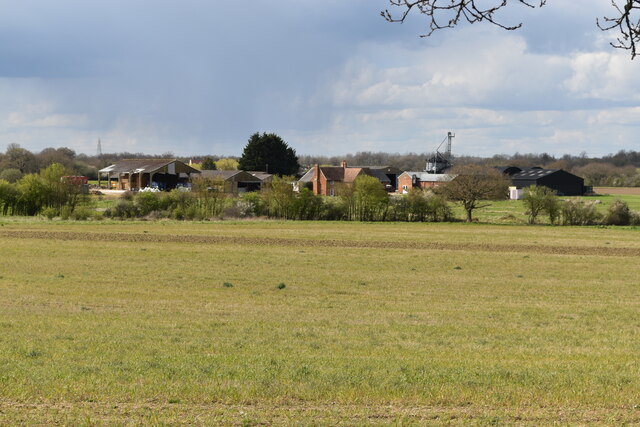
Manor Park is a picturesque residential area located in the county of Surrey, England. Situated just outside the bustling town of Guildford, it offers a tranquil and idyllic setting for its residents. The area is known for its leafy lanes, beautiful green spaces, and charming period properties.
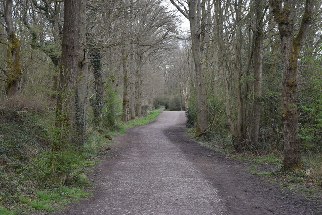
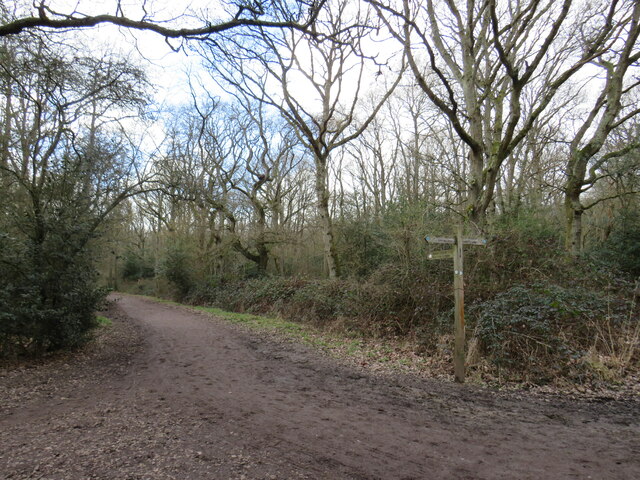
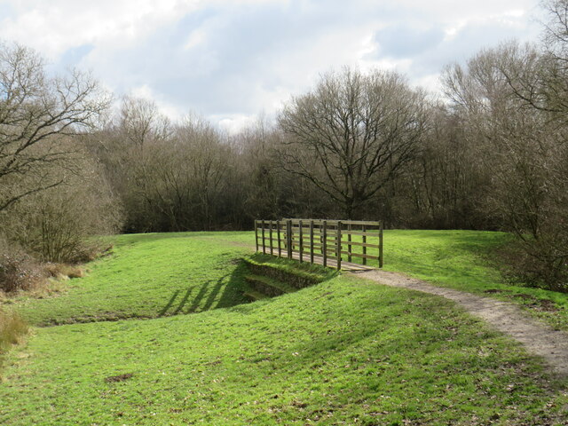
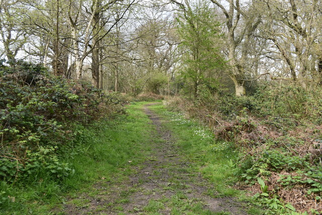
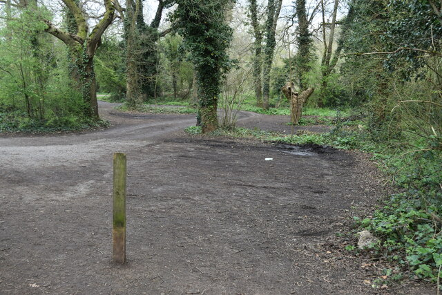
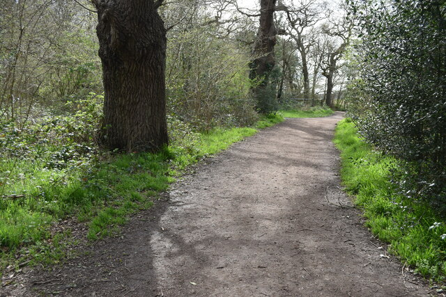
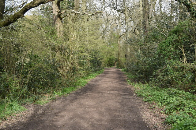
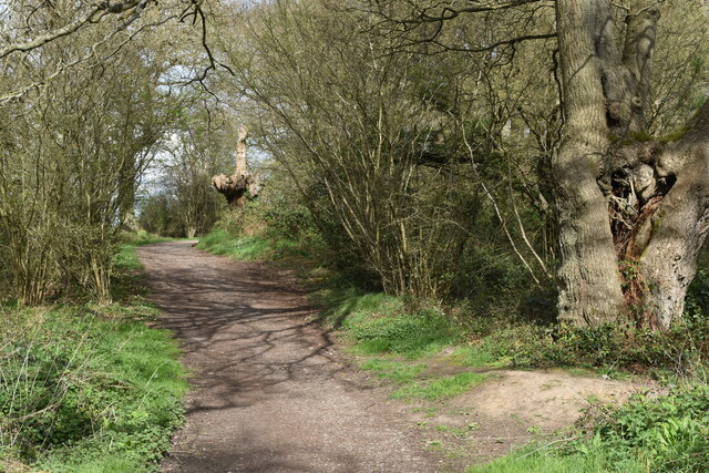
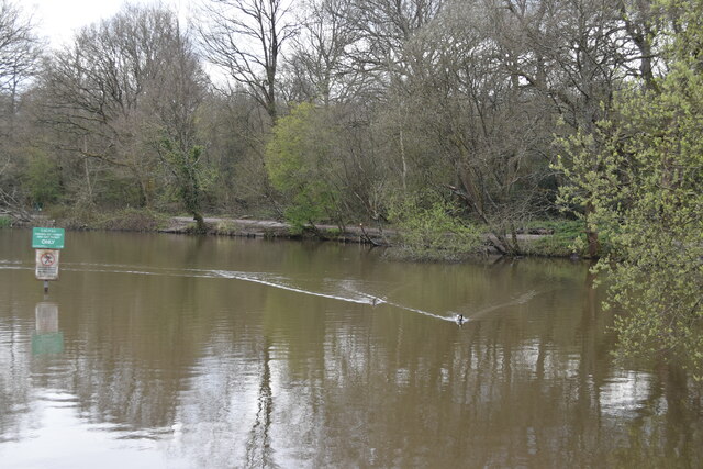
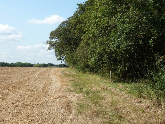
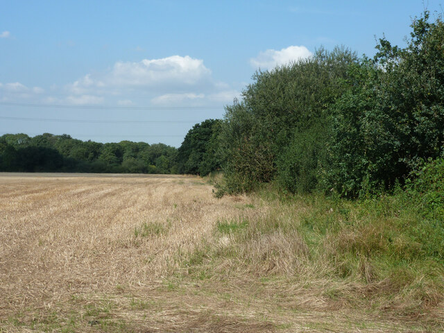
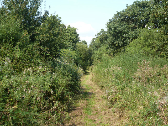
The heart of Manor Park is its namesake park, a sprawling green expanse that serves as a popular recreational spot for locals. The park features well-maintained lawns, flowerbeds, and a variety of mature trees, providing a peaceful retreat for walking, jogging, or family picnics. There is also a children's playground and a tennis court for sports enthusiasts.
The surrounding area is home to a tight-knit community, fostering a friendly and welcoming atmosphere. The streets are lined with elegant houses, ranging from Victorian and Edwardian architecture to more contemporary designs. Many of these residences boast well-tended gardens, adding to the area's aesthetic appeal.
Manor Park benefits from its proximity to Guildford, a vibrant town that offers a wide range of amenities. Residents can easily access an array of shops, restaurants, and entertainment venues, as well as excellent transport links to London and other major cities.
In conclusion, Manor Park, Surrey, offers a harmonious blend of natural beauty, historic charm, and convenient access to urban amenities. It is an ideal location for those seeking a peaceful and picturesque place to call home.
If you have any feedback on the listing, please let us know in the comments section below.
Manor Park Images
Images are sourced within 2km of 51.34041/-0.29228382 or Grid Reference TQ1961. Thanks to Geograph Open Source API. All images are credited.
Manor Park is located at Grid Ref: TQ1961 (Lat: 51.34041, Lng: -0.29228382)
Administrative County: Surrey
District: Epsom and Ewell
Police Authority: Surrey
What 3 Words
///divisions.silk.take. Near Epsom, Surrey
Nearby Locations
Related Wikis

Thames Down Link
The Thames Down Link is a 24 km (15 mi) official walking route linking the Thames Path and the North Downs Way. It starts in the town centre of Kingston...

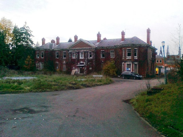
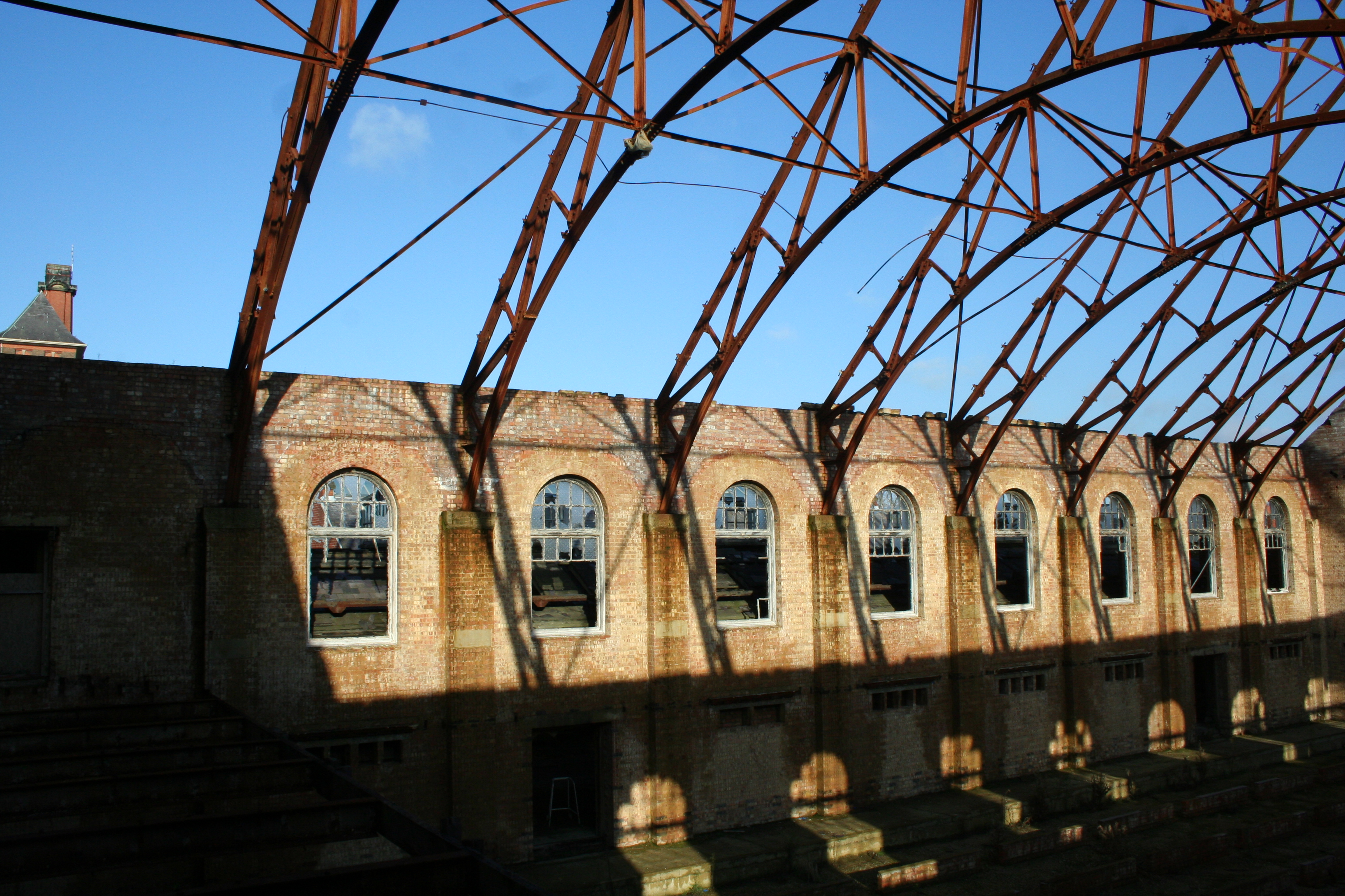
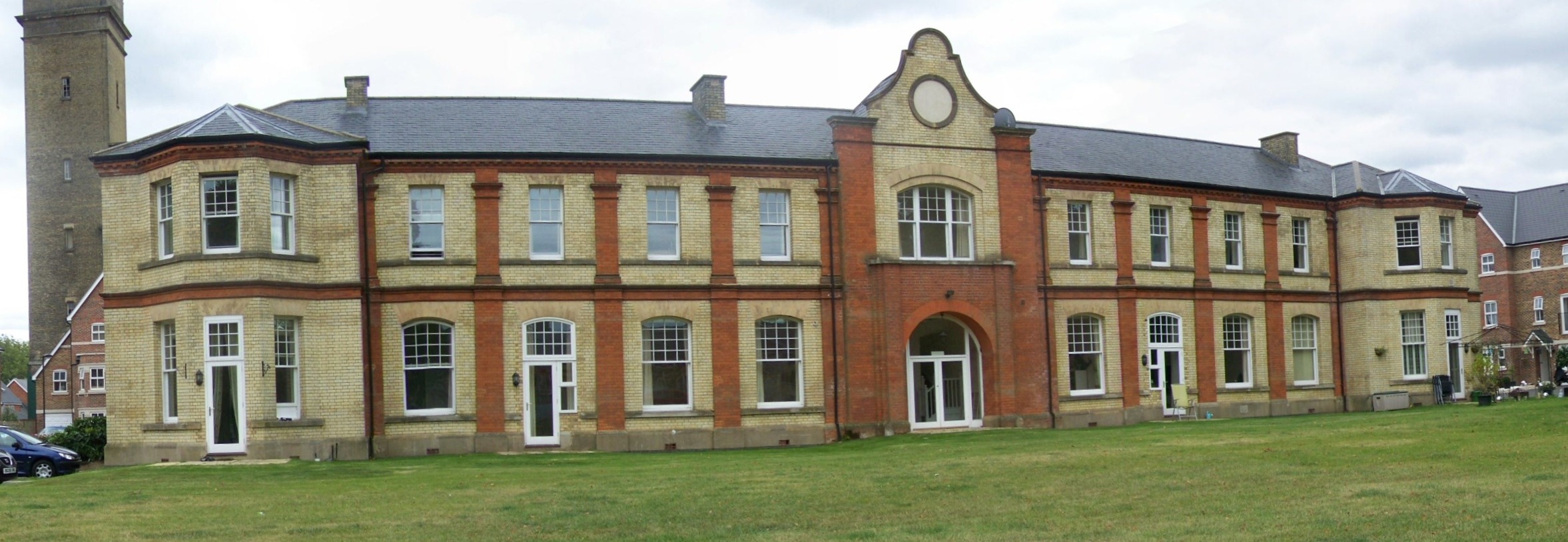
Manor Hospital, Epsom
The Manor Hospital, formerly The Manor Asylum and The Manor Certified Institution was a mental handicap and psychiatric hospital in Horton, near Epsom...
West Park Hospital, Epsom
West Park Hospital (sometimes erroneously referred to as West Park Asylum) was a large psychiatric hospital in Epsom, Surrey. == History == === Origins... ===
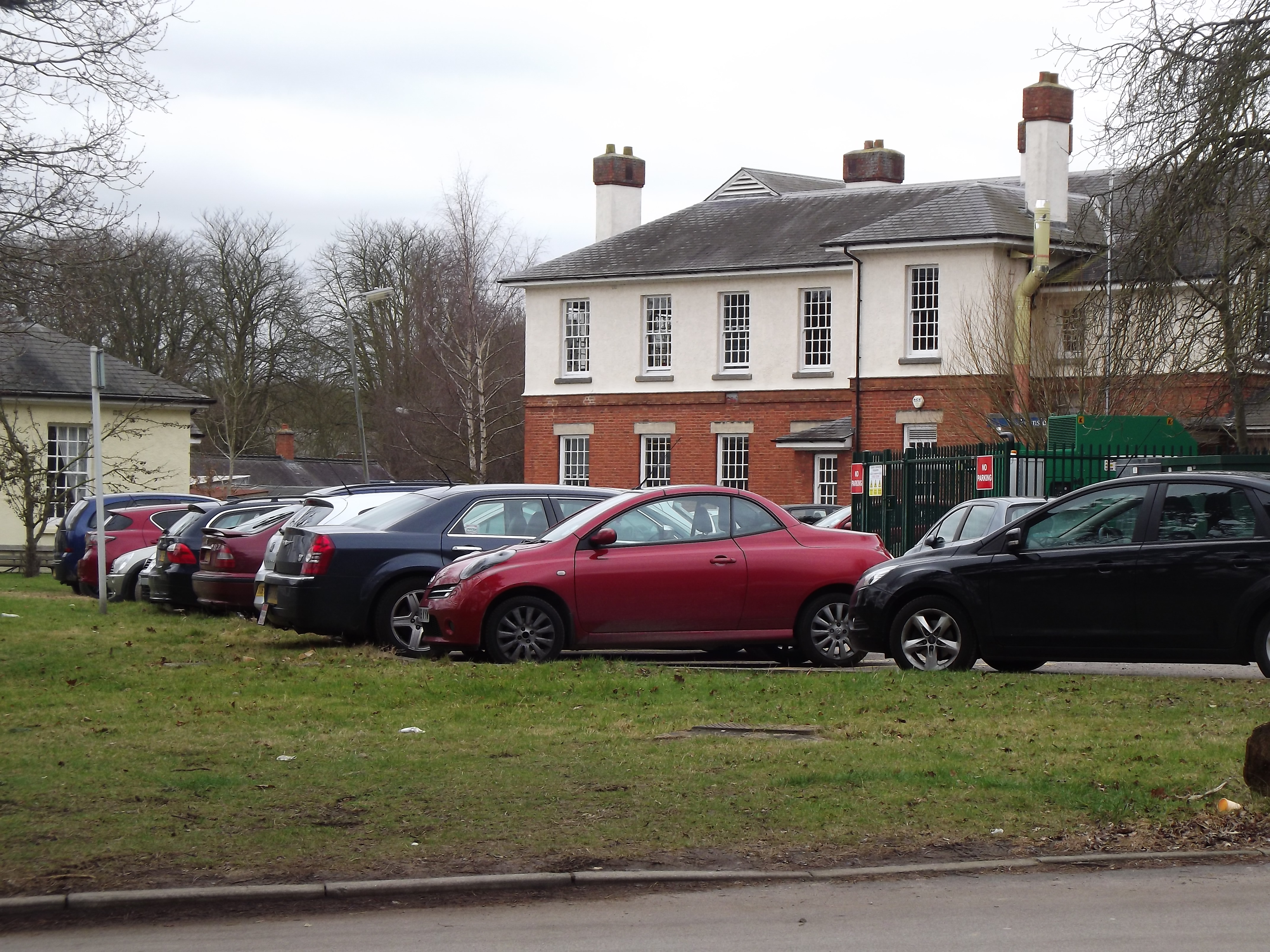
Epsom Cottage Hospital
Epsom and Ewell Cottage Hospital is a small hospital in West Park Road, Horton Lane, Epsom, Surrey. It is managed by CSH Surrey. == History == The hospital...
Epsom Cluster
The Epsom Cluster, also referred to as the Horton Estate, was a cluster or group of five large psychiatric hospitals situated on land to the west of Epsom...
Horton Hospital
Horton Hospital, formerly called Horton Asylum, was a large psychiatric hospital in the Horton area of Epsom, Surrey. == History == === Origins === The hospital...

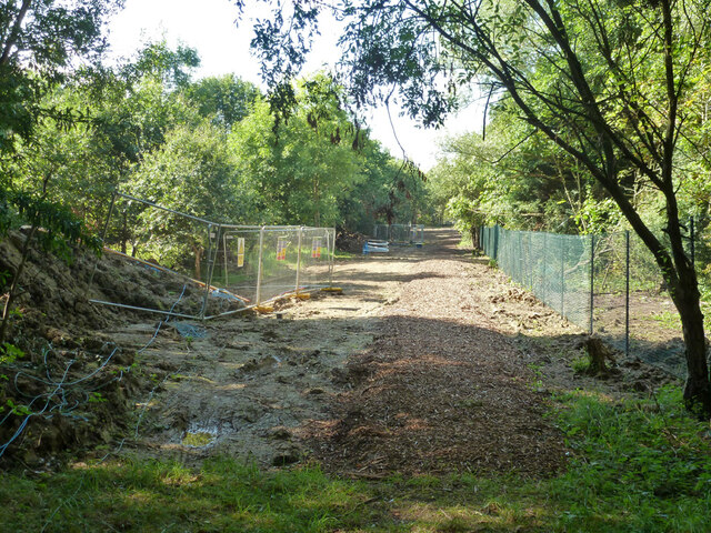
Horton Light Railway
The Horton Light Railway had its origins in a contractor's line (the Ewell & Long Grove Railway) built in 1905 to transport building materials, coal and...
Horton, Surrey
Horton is a semi-rural area with a village centre in the west of the borough of Epsom and Ewell, in the English county of Surrey. It is situated between...
Nearby Amenities
Located within 500m of 51.34041,-0.29228382Have you been to Manor Park?
Leave your review of Manor Park below (or comments, questions and feedback).