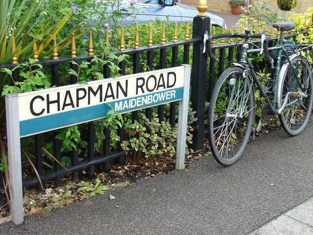
Maidenbower

Settlement in Sussex Crawley

England

Maidenbower

Road by Three Bridges station The station at Three Bridges is on the London-Brighton line but this is also where trains heading off to Crawley or Horsham or the coast normally pass through. But I can see only one Bridge - where are the other two?
Road by Three Bridges station Credit: Nigel Freeman

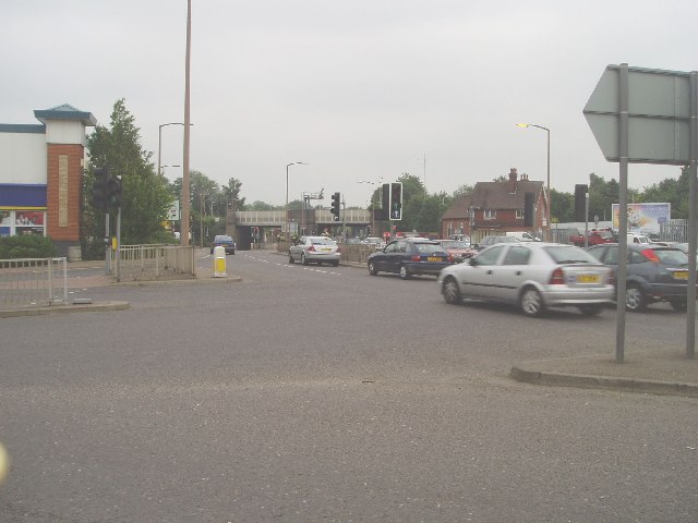
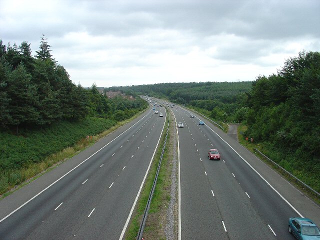
Maidenbower is a residential area located in the town of Crawley, West Sussex, England. Situated in the southern part of the town, it is bordered by the neighborhoods of Pound Hill to the west and Three Bridges to the east. Maidenbower is approximately 31 miles south of London and is well-connected to the capital via the nearby M23 motorway and Three Bridges railway station.

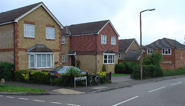
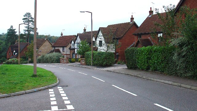
The area primarily consists of modern housing developments that were constructed during the 1980s and 1990s. The properties in Maidenbower are mainly detached and semi-detached houses, offering a variety of styles and sizes to cater to different needs. The neighborhood is characterized by its well-maintained green spaces, tree-lined streets, and a sense of community.

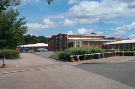
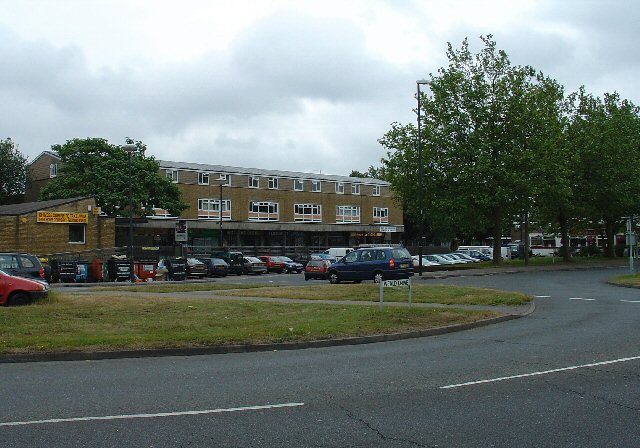
Maidenbower benefits from several local amenities, including a shopping parade with a convenience store, hairdresser, and takeaways. There are also several schools nearby, making it an attractive area for families. Additionally, the neighborhood is home to a medical center and a pharmacy, ensuring that residents have easy access to healthcare services.

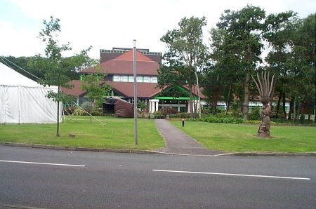
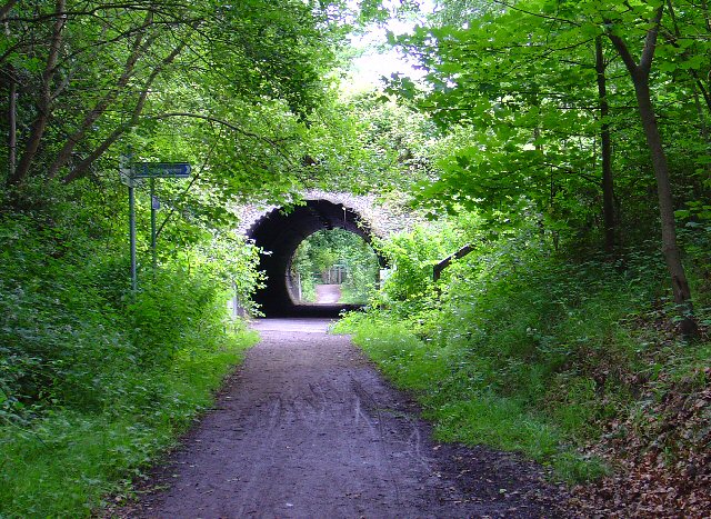
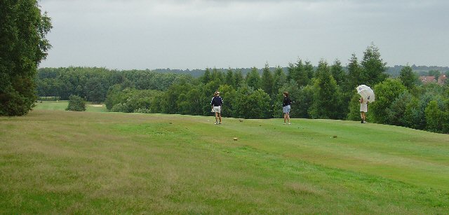
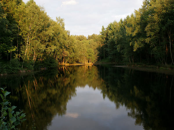
For recreational activities, Maidenbower boasts several parks and play areas, providing opportunities for outdoor leisure and sports. The area is surrounded by beautiful countryside, with Tilgate Park and Buchan Country Park nearby, offering extensive walking trails, lakes, and wildlife.

Overall, Maidenbower is a desirable residential area with a pleasant suburban atmosphere, offering a range of amenities, excellent transport links, and easy access to nature.

If you have any feedback on the listing, please let us know in the comments section below.
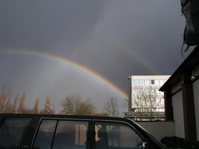
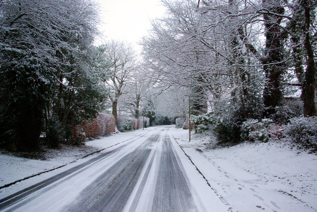
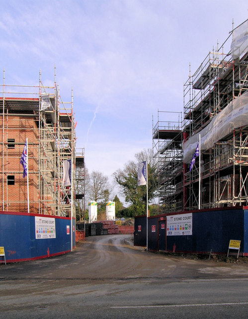
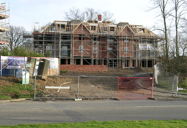
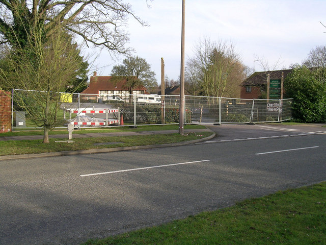
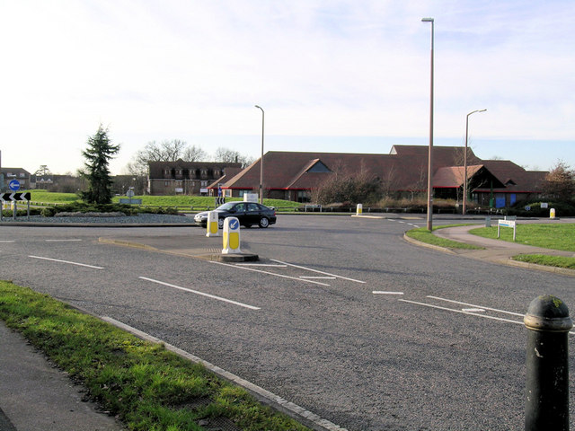
Maidenbower Images

Images are sourced within 2km of 51.104462/-0.14947967 or Grid Reference TQ2935. Thanks to Geograph Open Source API. All images are credited.

Road by Three Bridges station The station at Three Bridges is on the London-Brighton line but this is also where trains heading off to Crawley or Horsham or the coast normally pass through. But I can see only one Bridge - where are the other two?
Road by Three Bridges station
The station at Three Bridges is on the London-Brighton line but this is also where trains heading off to Crawley or Horsham or the coast normally pass through. But I can see only one Bridge - where are the other two?
Hawth Theatre Council-built and owned Theatre opened in 1988
Hawth Theatre
Council-built and owned Theatre opened in 1988
Maidenbower Junior School Built and opened as a Middle School in the late 1990s, it became a Junior School following the Crawley Schools' Re-organisation in 2004
Maidenbower Junior School
Built and opened as a Middle School in the late 1990s, it became a Junior School following the Crawley Schools' Re-organisation in 2004
Furnace Green Parade, Furnace Green, Crawley At the centre of the local community, this local parade of shops provides access to most everyday needs for the residents of this Crawley neighbourhood. The style of the parade is slightly more modern than that of Tilgate (TQ2735) - late 1950s?
Furnace Green Parade, Furnace Green, Crawley
At the centre of the local community, this local parade of shops provides access to most everyday needs for the residents of this Crawley neighbourhood. The style of the parade is slightly more modern than that of Tilgate (TQ2735) - late 1950s?
Worth Way, just before passing under B2036, Crawley The disused railway between Crawley and East Grinstead was converted into a hard surfaced route for non-motorised traffic. Here we see the route heading towards E. Grinstead, just before passing under the Balcombe Road. The tunnel is not an original from the days when steam trains used to ply this route.
Worth Way, just before passing under B2036, Crawley
The disused railway between Crawley and East Grinstead was converted into a hard surfaced route for non-motorised traffic. Here we see the route heading towards E. Grinstead, just before passing under the Balcombe Road. The tunnel is not an original from the days when steam trains used to ply this route.
Tilgate Golf Course, Crawley Grid square TQ2834 is dominated by most of an 18 hole golf course. This fine course is popular and the view here shows three ladies enjoying a round on a Friday afternoon.
Tilgate Golf Course, Crawley
Grid square TQ2834 is dominated by most of an 18 hole golf course. This fine course is popular and the view here shows three ladies enjoying a round on a Friday afternoon.
M23 Motorway looking NE from footbridge between Tilgate Golf Course and Tilgate Forest The M23 cuts across the S of grid square TQ2834. The motorway acts as a boundary between Tilgate Golf Course (to the N) and Tilgate Forest (to the S). The view here is that from a footbridge that crosses over the motorway. In the distance, the edge of the Maidenbower neighbourhood of Crawley can be seen (centre of photo, to left of motorway).
M23 Motorway looking NE from footbridge between Tilgate Golf Course and Tilgate Forest
The M23 cuts across the S of grid square TQ2834. The motorway acts as a boundary between Tilgate Golf Course (to the N) and Tilgate Forest (to the S). The view here is that from a footbridge that crosses over the motorway. In the distance, the edge of the Maidenbower neighbourhood of Crawley can be seen (centre of photo, to left of motorway).
Bridleway through Oldhouse Warren, Near Crawley, West Sussex. A wide (and muddy, in places) bridle route through this otherwise private area of woodland. Links Pease Pottage (via Parish Lane) to Whitely Hill.
Bridleway through Oldhouse Warren, Near Crawley, West Sussex.
A wide (and muddy, in places) bridle route through this otherwise private area of woodland. Links Pease Pottage (via Parish Lane) to Whitely Hill.
1990/2000s Housing Estate - Chapman Road, Maidenbower Neighbourhood of Crawley, West Sussex The newest of Crawleys "Neighbourhood" areas. This part of Maidenbower was built on the site of Worth Forest and spreads into the NW corner of this grid square. As was the fashion at the time, the houses on this housing estate are built to appear slightly different from their immediate neighbours. Amazing how many detached/semi-detached houses can fit in such a small area! The photo shows the street name sign in front of the car. All the street name signs in Crawley are of this general pattern (see supplemental photo for details).
1990/2000s Housing Estate - Chapman Road, Maidenbower Neighbourhood of Crawley, West Sussex
The newest of Crawleys "Neighbourhood" areas. This part of Maidenbower was built on the site of Worth Forest and spreads into the NW corner of this grid square. As was the fashion at the time, the houses on this housing estate are built to appear slightly different from their immediate neighbours. Amazing how many detached/semi-detached houses can fit in such a small area! The photo shows the street name sign in front of the car. All the street name signs in Crawley are of this general pattern (see supplemental photo for details).
Chapman Road, Maidenbower - general pattern of street name signs in Crawley. Sign for Chapman Road, next to Chapman's bike!
The "neighbourhood" identity of the various parts of Crawley is emphasised by all of the street name signs having the name of the neighbourhood included on the bottom right corner of the sign (as shown in the picture). Additionally, each neighbourhood has its own colour for the band across the centre of the sign, Maidenbower uses a blue colour. Other area colours include: Northgate (green); Manor Royal Industrial Estate (Black - "Industrial").
Chapman Road, Maidenbower - general pattern of street name signs in Crawley.
Sign for Chapman Road, next to Chapman's bike! The "neighbourhood" identity of the various parts of Crawley is emphasised by all of the street name signs having the name of the neighbourhood included on the bottom right corner of the sign (as shown in the picture). Additionally, each neighbourhood has its own colour for the band across the centre of the sign, Maidenbower uses a blue colour. Other area colours include: Northgate (green); Manor Royal Industrial Estate (Black - "Industrial").
1990/2000s Housing. Another view of Chapman Road, Crawley, West Sussex This short road (150m long) has a variety of housing - all helping to make the high packing density feel less oppressive. These houses are in the middle section of the road and are generally bigger than those shown near the street name sign. The origins of the area being a forest are evident in this view, with a couple of very large and mature trees left in situ to add interest to the area.
1990/2000s Housing. Another view of Chapman Road, Crawley, West Sussex
This short road (150m long) has a variety of housing - all helping to make the high packing density feel less oppressive. These houses are in the middle section of the road and are generally bigger than those shown near the street name sign. The origins of the area being a forest are evident in this view, with a couple of very large and mature trees left in situ to add interest to the area.
Halfsmock Lake North east facing view of lake near to M23.
Halfsmock Lake
North east facing view of lake near to M23.
Rainbow over Three Bridges Good luck finding that pot of gold!
Complete single rainbow with partial second bow - notice the dramatic change in the brightness of the sky as you cross the lower bow and the reversed colour sequence in the second bow. Seen from the carpark in the "square-about" with Sutherland House to the rear right.
Rainbow over Three Bridges
Good luck finding that pot of gold! Complete single rainbow with partial second bow - notice the dramatic change in the brightness of the sky as you cross the lower bow and the reversed colour sequence in the second bow. Seen from the carpark in the "square-about" with Sutherland House to the rear right.
Blackwater Lane in the Snow Formerly the approach to Blackwater Farm, now a residential street in Crawley.
Blackwater Lane in the Snow
Formerly the approach to Blackwater Farm, now a residential street in Crawley.
Site Entrance - Stone Court Urban infilling - Stone Court was a house in large grounds. Now being redeveloped for 120 dwellings.
Site Entrance - Stone Court
Urban infilling - Stone Court was a house in large grounds. Now being redeveloped for 120 dwellings.
Stone Court - new Block of Flats This is the earlier (not the earliest) entrance to Stone Court from Balcombe Road when it was a single house. This block of flats is just one of the blocks replacing one dwelling with 120 dwellings.
Stone Court - new Block of Flats
This is the earlier (not the earliest) entrance to Stone Court from Balcombe Road when it was a single house. This block of flats is just one of the blocks replacing one dwelling with 120 dwellings.
Frogshole Farm after a Fire Originally a farmhouse, latterly a pub, the site is cordoned off after a fire on 8 Feb 2007. Outwardly in good shape, according to the newspaper report about 50% was damaged and the roof of the kitchen collapsed.
Frogshole Farm after a Fire
Originally a farmhouse, latterly a pub, the site is cordoned off after a fire on 8 Feb 2007. Outwardly in good shape, according to the newspaper report about 50% was damaged and the roof of the kitchen collapsed.
Maidenbower Community Centre This is the large building beyond the roundabout in one of the newest parts of what used to called the New Town of Crawley. Maidenbower is the name of the area,  not invented but the name of a former farm here.
Maidenbower Community Centre
This is the large building beyond the roundabout in one of the newest parts of what used to called the New Town of Crawley. Maidenbower is the name of the area, not invented but the name of a former farm here.
Show me another place!

Maidenbower is located at Grid Ref: TQ2935 (Lat: 51.104462, Lng: -0.14947967)

Administrative County: West Sussex

District: Crawley

Police Authority: Sussex

What 3 Words

///danger.rail.crust. Near Maidenbower, West Sussex

Nearby Locations

Maidenbower Flax Field

Related Wikis

Maidenbower

Maidenbower is one of 14 neighbourhoods within the town of Crawley in West Sussex, England. Maidenbower is located in the south east corner of the town...

Maidenbower (electoral division)

Maidenbower is an electoral division of West Sussex in the United Kingdom, and returns one member to sit on West Sussex County Council. The current County...

Oriel High School

Oriel High School is a maintained community secondary school for pupils aged 11 to 18. It opened in September 2004 as part of a reorganisation of secondary...

Furnace Green

Furnace Green is one of 14 neighbourhoods in Crawley in West Sussex, England, and a local government ward. Furnace Green is located to the east of the...

St Nicholas Church, Worth

St Nicholas Church is a Church of England parish church in Worth, a village in Crawley, England, which at one time had the largest geographical parish...

Worth, West Sussex

Worth is either a civil parish in the Mid Sussex District of West Sussex, or a distinct but historically related village in Crawley. == Civil parish... ==

Tilgate Forest

Tilgate Forest is a 6.9-hectare (17-acre) Local Nature Reserve in Crawley in West Sussex. It is owned and managed by Crawley Borough Council and is part...

Three Bridges depot

Three Bridges depot is an Electric Traction Depot located in Three Bridges, West Sussex, England. The depot is about 1.5 km south of Three Bridges railway...

Nearby Amenities

Located within 500m of 51.104462,-0.14947967
Traffic Calming: hump
Lat/Long: 51.1065814/-0.1545228
Traffic Calming: hump
Lat/Long: 51.1065635/-0.1508929
Traffic Calming: hump
Lat/Long: 51.1069416/-0.1497811
Traffic Calming: hump
Lat/Long: 51.1064179/-0.151918
Traffic Calming: hump
Lat/Long: 51.1061539/-0.1514049
Crossing
Lat/Long: 51.1055206/-0.1486197
Crossing
Crossing: traffic_signals
Crossing Island: no
Kerb: flush_[road_hump]
Tactile Paving: yes
Traffic Calming: hump
Lat/Long: 51.1063141/-0.1528801
Place Of Worship
Maidenbower Baptist Church
Addr City: Crawley
Addr Postcode: RH10 7QH
Addr Street: Maidenbower Square
Denomination: reformed_baptist
Religion: christian
Website: https://mabach.org/
Lat/Long: 51.1083263/-0.1530166
Mini Roundabout
Direction: clockwise
Lat/Long: 51.1027656/-0.1535367
Mini Roundabout
Direction: clockwise
Lat/Long: 51.1013532/-0.1524108
Post Office
Maidenbower Post Office
Addr Country: GB
Addr Postcode: RH10 7QH
Brand: Post Office
Brand Wikidata: Q1783168
Contact Website: https://www.postoffice.co.uk/branch-finder/1529129/maidenbower
Ref Pol Id: 21567
Lat/Long: 51.1073835/-0.1531806
Entrance: yes
Lat/Long: 51.1077537/-0.1534446
Traffic Signals
Crossing: traffic_signals
Kerb: lowered
Tactile Paving: yes
Traffic Signals: pedestrian_crossing
Lat/Long: 51.1016008/-0.1519014
Crossing
Crossing: unmarked
Crossing Island: no
Tactile Paving: yes
Lat/Long: 51.1065134/-0.1543127
Mini Roundabout
Direction: clockwise
Lat/Long: 51.1063738/-0.1480045
Traffic Calming: hump
Lat/Long: 51.1078343/-0.1487623
Pharmacy
Boots
Brand: Boots
Brand Wikidata: Q6123139
Brand Wikipedia: en:Boots UK
Dispensing: yes
Healthcare: pharmacy
Operator: Boots
Lat/Long: 51.1074336/-0.1533189
Co-op Food
Brand: Co-op Food
Brand Wikidata: Q3277439
Brand Wikipedia: en:Co-op Food
Opening Hours: Mo-Su 07:00-22:00
Operator: The Co-operative Group
Operator Wikidata: Q117202
Shop: convenience
Website: https://www.coop.co.uk/store-finder/RH10-7QH/8-maidenbower-village-centre
Lat/Long: 51.1073996/-0.1531806
Recycling
Lat/Long: 51.1074274/-0.1525458
Post Box
Pallingham Drive
Collection Times: Mo-Fr 17:30; Sa 12:15
Operator: Royal Mail
Post Box Type: lamp
Ref: RH11 173
Royal Cypher: EIIR
Royal Cypher Wikidata: Q33102113
Source: survey
Lat/Long: 51.1017432/-0.1516325
Design: triangle
Line Attachment: suspension
Material: steel
Power: tower
Ref: PYA4
Structure: lattice
Lat/Long: 51.1047092/-0.1528377
Design: triangle
Line Attachment: suspension
Material: steel
Power: tower
Ref: PYA5
Structure: lattice
Lat/Long: 51.103579/-0.1492299
Mini Roundabout
Direction: clockwise
Lat/Long: 51.106237/-0.1471104
Design: triangle
Line Attachment: anchor
Material: steel
Power: tower
Ref: PYA6
Structure: lattice
Lat/Long: 51.102399/-0.1457127
Design: triangle
Line Attachment: suspension
Material: steel
Power: tower
Ref: PYA7
Structure: lattice
Lat/Long: 51.1024666/-0.1440028
Post Box
Lucerne Drive
Collection Times: Mo-Fr 17:00; Sa 11:45
Drive Through: no
Operator: Royal Mail
Operator Wikidata: Q638098
Post Box Type: lamp
Ref: RH10 177
Royal Cypher: EIIR
Royal Cypher Wikidata: Q33102113
Source: survey
Lat/Long: 51.1053331/-0.1489141
Post Box
Ref: RH10 165
Lat/Long: 51.107402/-0.1530935
Bus Stop
Balcombe Road
Bus: yes
Naptan AtcoCode: 4400CY0151
Naptan Bearing: NE
Naptan CommonName: Balcombe Rd
Naptan Indicator: nr Roundabout
Naptan Landmark: Balcombe Road
Naptan NaptanCode: wsxajtpa
Naptan PlusbusZoneRef: CRAWLEY
Naptan Street: Lucerne Drive
Naptan Verified: no
Public Transport: platform
Source: naptan_import
Lat/Long: 51.1072911/-0.1471239
Bus Stop
Brandon Close
Bus: yes
Naptan AtcoCode: 4400CY0152
Naptan Bearing: NE
Naptan CommonName: Brandon Close
Naptan Indicator: Playing fields
Naptan Landmark: Brandon Close
Naptan NaptanCode: wsxajtpd
Naptan PlusbusZoneRef: CRAWLEY
Naptan Street: Lucerne Drive
Naptan Verified: no
Public Transport: platform
Source: naptan_import
Lat/Long: 51.1052882/-0.1488979
Bus Stop
Carter Road
Bus: yes
Naptan AtcoCode: 4400CY0153
Naptan Bearing: N
Naptan CommonName: Carter Road
Naptan Indicator: opposite Carter Road
Naptan Landmark: Carter Road
Naptan NaptanCode: wsxajtpg
Naptan PlusbusZoneRef: CRAWLEY
Naptan Street: Lucerne Drive
Naptan Verified: no
Public Transport: platform
Source: naptan_import
Lat/Long: 51.1034448/-0.1499811
Bus Stop
Moorland Road
Bus: yes
Naptan AtcoCode: 4400CY0154
Naptan Bearing: NE
Naptan CommonName: Moorland Rd
Naptan Indicator: adj Moorland Road
Naptan Landmark: Moorland Close
Naptan NaptanCode: wsxajtpj
Naptan PlusbusZoneRef: CRAWLEY
Naptan Street: Pallingham Drive
Naptan Verified: no
Public Transport: platform
Source: naptan_import
Lat/Long: 51.1011863/-0.1528313
Bus Stop
Maidenbower Place
Bench: yes
Bin: yes
Bus: yes
Lit: yes
Naptan AtcoCode: 4400CY0158
Naptan Bearing: W
Naptan CommonName: Maidenbower Place
Naptan Indicator: opp
Naptan Landmark: Maidenbower Place
Naptan NaptanCode: wsxajtwa
Naptan PlusbusZoneRef: CRAWLEY
Naptan Street: Maidenbower Drive
Naptan Verified: no
Network: Route 100
Operator: Metrobus
Public Transport: platform
Shelter: yes
Source: naptan_import
Tactile Paving: no
Lat/Long: 51.1062671/-0.153106
Bus Stop
Delfont Close
Bus: yes
Naptan AtcoCode: 4400CY0160
Naptan Bearing: SW
Naptan CommonName: Delfont Close
Naptan Indicator: adj Delfont Close
Naptan Landmark: Delfont Close
Naptan NaptanCode: wsxajtwg
Naptan PlusbusZoneRef: CRAWLEY
Naptan Street: Maidenbower Drive
Naptan Verified: no
Public Transport: platform
Source: naptan_import
Lat/Long: 51.1067152/-0.1499718
Bus Stop
Evans Close
Bus: yes
Naptan AtcoCode: 4400CY0161
Naptan Bearing: S
Naptan CommonName: Evans Close
Naptan Indicator: adj
Naptan Landmark: Evans Close
Naptan NaptanCode: wsxajtwj
Naptan PlusbusZoneRef: CRAWLEY
Naptan Street: Maidenbower Drive
Naptan Verified: no
Public Transport: platform
Source: naptan_import
Lat/Long: 51.1088394/-0.148549
Bus Stop
Maidenbower Place
Bench: no
Bus: yes
Departures Board: no
Naptan AtcoCode: 4400CY0168
Naptan Bearing: E
Naptan CommonName: Maidenbower Place
Naptan Indicator: adj
Naptan Landmark: Harvest Road roundabout
Naptan NaptanCode: wsxajwam
Naptan PlusbusZoneRef: CRAWLEY
Naptan Street: Maidenbower Drive
Naptan Verified: no
Network: Route 100
Operator: Metrobus
Public Transport: platform
Shelter: no
Source: naptan_import
Lat/Long: 51.1064509/-0.1520945
Bus Stop
Moorland Road
Bus: yes
Naptan AtcoCode: 4400CY0528
Naptan Bearing: NE
Naptan CommonName: Moorland Rd
Naptan Indicator: Opp Moorland Rd
Naptan Landmark: Moorland Rd
Naptan Street: Pallingham Dr
Naptan Verified: no
Public Transport: platform
Source: naptan_import
Lat/Long: 51.1014793/-0.1519978
Bus Stop
Carter Road
Bus: yes
Naptan AtcoCode: 4400CY0529
Naptan Bearing: N
Naptan CommonName: Carter Rd
Naptan Indicator: Adj Carter Rd
Naptan Landmark: Carter Rd
Naptan PlusbusZoneRef: CRAWLEY
Naptan Street: Lucerne Dr
Naptan Verified: no
Public Transport: platform
Source: naptan_import
Lat/Long: 51.1036195/-0.1497363
Bus Stop
Brandon Close
Bus: yes
Naptan AtcoCode: 4400CY0530
Naptan Bearing: NE
Naptan CommonName: Brandon Close
Naptan Indicator: Opp Brandon Close
Naptan Landmark: Brandon Close
Naptan PlusbusZoneRef: CRAWLEY
Naptan Street: Lucerne Dr
Naptan Verified: no
Public Transport: platform
Source: naptan_import
Lat/Long: 51.1050597/-0.1488802
Fast Food
China Garden
Cuisine: chinese
Lat/Long: 51.1070077/-0.1530271
Coco's
Female Signed: no
Male Signed: no
Shop: hairdresser
Lat/Long: 51.1070129/-0.1531206
Fast Food
Little Tikka
Cuisine: indian
Lat/Long: 51.1070716/-0.1531853
Fast Food
Cuisine: fish_and_chips
Lat/Long: 51.10712/-0.1531637
De Vere's
Shop: estate_agent
Lat/Long: 51.1072058/-0.1531463
Atm
Co-op ATM
Created By: andnav.org
Lat/Long: 51.1074/-0.153125
Man Made: surveillance
Lat/Long: 51.1070863/-0.1528229
Entrance: yes
Lat/Long: 51.1079514/-0.1533409
Entrance: yes
Lat/Long: 51.1081635/-0.1533335
Crossing
Kerb: flush
Lat/Long: 51.1072129/-0.1456099
Crossing
Kerb: flush
Lat/Long: 51.1072896/-0.1455846
Addr Housenumber: 22
Addr Postcode: RH10 7JZ
Addr Street: Watson Close
Lat/Long: 51.1043377/-0.1565292
Addr Housenumber: 16
Addr Postcode: RH10 7JZ
Addr Street: Watson Close
Lat/Long: 51.1040918/-0.1565239
Addr Housenumber: 16
Addr Postcode: RH10 7JZ
Addr Street: Watson Close
Lat/Long: 51.1041761/-0.1565319
Addr Housenumber: 18
Addr Postcode: RH10 7JZ
Addr Street: Watson Close
Lat/Long: 51.1042939/-0.1565292
Addr Housenumber: 14
Addr Postcode: RH10 7JZ
Addr Street: Watson Close
Lat/Long: 51.1038948/-0.1563604
Addr Housenumber: 12
Addr Postcode: RH10 7JZ
Addr Street: Watson Close
Lat/Long: 51.1038965/-0.1564435
Bicycle Parking
Bicycle Parking: stands
Capacity: 6
Covered: no
Lat/Long: 51.10692/-0.1529048
Bicycle Parking
Bicycle Parking: stands
Capacity: 12
Lat/Long: 51.1071795/-0.152618
Toilets
Access: yes
Fee: no
Lat/Long: 51.1056394/-0.1513654
Maidenbower
Place: village
Lat/Long: 51.1040119/-0.1533607
Dentist
Maidenbower Dental Practice
Addr City: Crawley
Addr Housenumber: 8
Addr Postcode: RH10 7QH
Addr Street: Maidenbower Square
Contact Phone: +441293 889992
Healthcare: dentist
Lat/Long: 51.1074456/-0.153454
Entrance: yes
Lat/Long: 51.1054914/-0.1513213
The Clouds are High
Artist Name: Kate Munro
Artwork Type: sculpture
Tourism: artwork
Lat/Long: 51.1066404/-0.1518815
Entrance: yes
Lat/Long: 51.1070968/-0.1526432
Material: wood
Power: pole
Lat/Long: 51.1027237/-0.1452416
Material: wood
Power: pole
Lat/Long: 51.1028113/-0.1452524
Power: pole
Lat/Long: 51.1031128/-0.1467249
Power: transformer
Lat/Long: 51.1030539/-0.1468134
Cafe
Stepney's Cafe
Lat/Long: 51.105504/-0.151435
Toilets
Lat/Long: 51.107087/-0.1524737
Model: MS1
Traffic Sign: variable_message
Lat/Long: 51.1007766/-0.1491456
Phone
Emergency: phone
Operator: National Highways
Operator Wikidata: Q5760006
Lat/Long: 51.1006848/-0.1489525
Phone
Emergency: phone
Operator: National Highways
Operator Wikidata: Q5760006
Lat/Long: 51.1008726/-0.1493494
Crossing
Crossing: unmarked
Crossing Island: no
Tactile Paving: no
Lat/Long: 51.1075325/-0.1530475
Crossing
Crossing: uncontrolled
Crossing Markings: yes
Lat/Long: 51.106494/-0.1480249
Crossing
Crossing: uncontrolled
Crossing Markings: yes
Lat/Long: 51.106345/-0.1478193
The data included in this document is from www.openstreetmap.org. The data is made available under ODbL.

Have you been to Maidenbower?

Leave your review of Maidenbower below (or comments, questions and feedback).