Lydeway

Settlement in Wiltshire

England

Lydeway

STERT, Wiltshire The church of St James and Manor Farm
STERT, Wiltshire Credit: ChurchCrawler

Lydeway is a charming village located in the county of Wiltshire, England. Situated approximately 10 miles southeast of the historic city of Bath, Lydeway is nestled in the picturesque countryside, offering residents and visitors a tranquil and idyllic setting.

The village is small in size, with a population of around 500 people. It is predominantly residential, consisting of a mix of traditional cottages and modern houses. The community in Lydeway is close-knit and friendly, with a strong sense of pride in their village.

Despite its small size, Lydeway boasts a few amenities that cater to the needs of its residents. These include a local convenience store, a village hall, and a primary school, providing essential services to the villagers. Additionally, there are several local businesses and farms that contribute to the village's economy and character.

The surrounding countryside offers stunning views and ample opportunities for outdoor activities. The area is known for its beautiful walking and cycling trails, allowing residents and visitors to explore the scenic landscapes and enjoy the fresh air. The nearby Kennet and Avon Canal is also a popular spot for boating and fishing enthusiasts.

Lydeway's proximity to Bath and other nearby towns provides residents with easy access to a range of amenities, including shopping centers, restaurants, and cultural attractions. The village is well-connected by road, with the A36 passing nearby, ensuring convenient transportation links to nearby towns and cities.

Overall, Lydeway is a peaceful and picturesque village that offers a charming rural lifestyle while still providing easy access to nearby amenities and attractions.

If you have any feedback on the listing, please let us know in the comments section below.
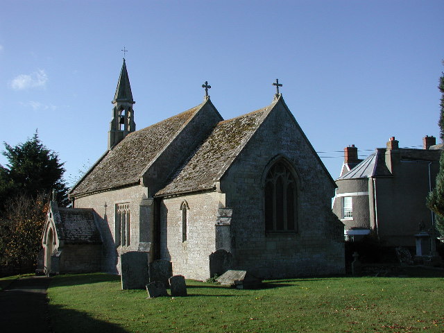
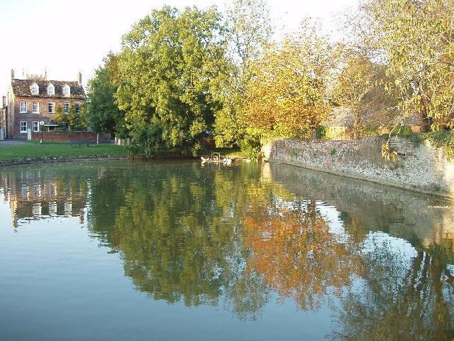
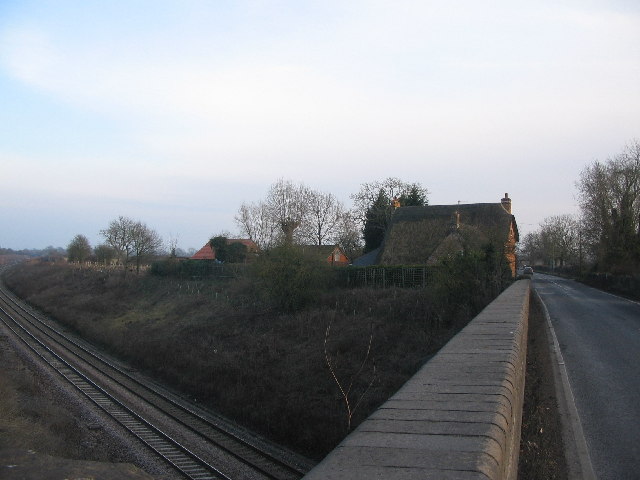
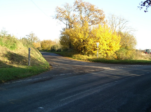
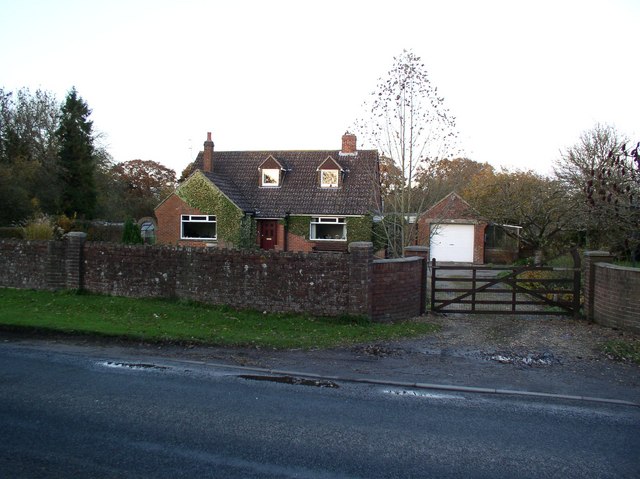
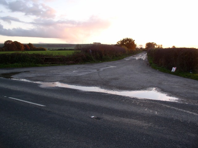
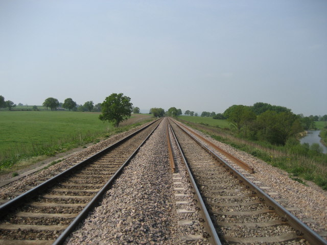
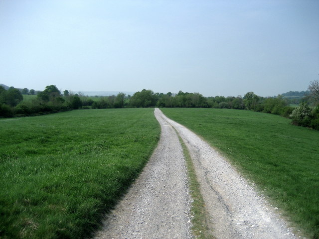
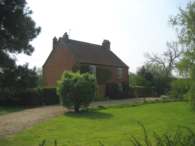
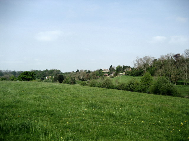
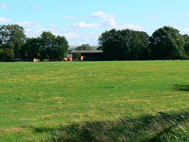
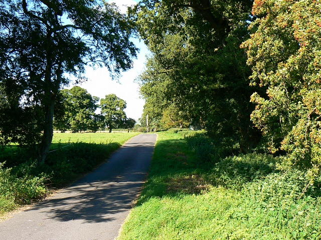
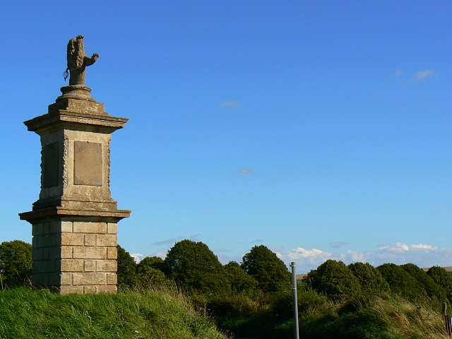
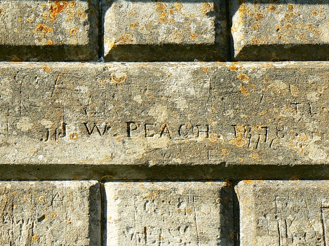
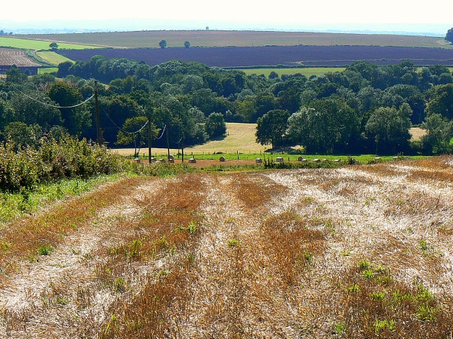
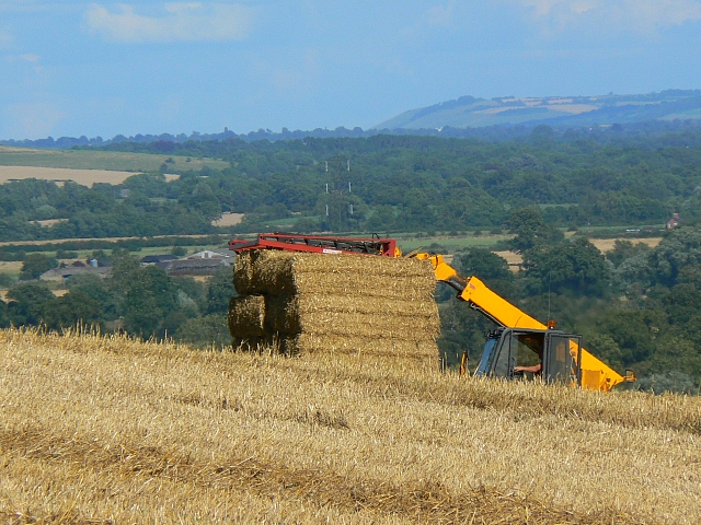
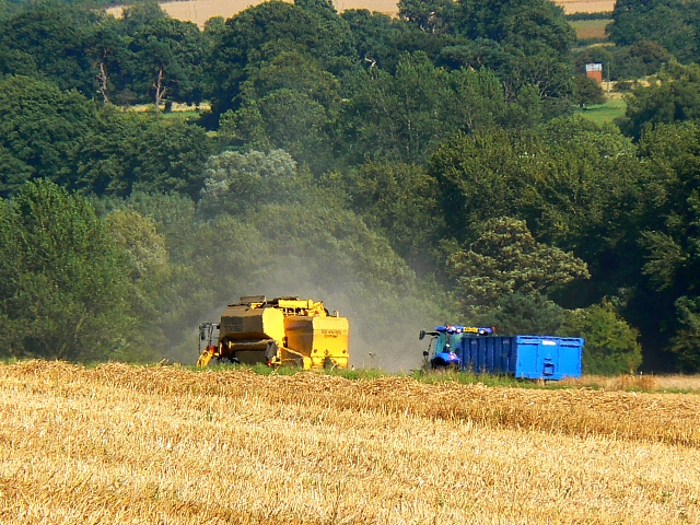
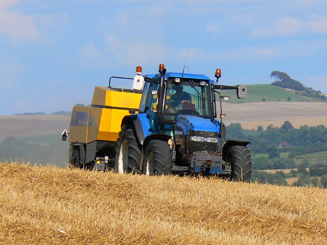
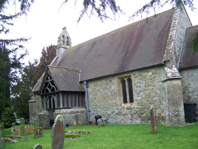
Lydeway Images

Images are sourced within 2km of 51.330936/-1.9396676 or Grid Reference SU0459. Thanks to Geograph Open Source API. All images are credited.

STERT, Wiltshire The church of St James and Manor Farm
STERT, Wiltshire
The church of St James and Manor Farm
Urchfont Pond
Urchfont Pond
A342 Lydeway A view looking southeast along the parapet of the bridge carrying the A342 Lydeway across the railway line.
A342 Lydeway
A view looking southeast along the parapet of the bridge carrying the A342 Lydeway across the railway line.
Road junction on A342 The road to Etchilhampton.
Road junction on A342
The road to Etchilhampton.
House beside A342
House beside A342
Farm track off A342
Farm track off A342
Railway crossed near Urchfont This looks west along the Reading/Taunton Railway from the point where the Wessex Ridgeway crosses between Stert and Urchfont.
Railway crossed near Urchfont
This looks west along the Reading/Taunton Railway from the point where the Wessex Ridgeway crosses between Stert and Urchfont.
Access Lane to Crookwood Mill Farm Track to the farm from the village of Stert.
Access Lane to Crookwood Mill Farm
Track to the farm from the village of Stert.
Fullaway Farm Tidy looking farmhouse near Stert.
Fullaway Farm
Tidy looking farmhouse near Stert.
Fields towards Stert View north west from near Fullaway Farm.
Fields towards Stert
View north west from near Fullaway Farm.
Hatfield Farm, Etchilhampton The farm is viewed facing south from the bridleway that passes north to south through this square.
Hatfield Farm, Etchilhampton
The farm is viewed facing south from the bridleway that passes north to south through this square.
Bridleway, Hatfield Farm, Etchilhampton Viewed looking north on this well-surfaced bridleway that also serves as an access  road to the farm behind the viewpoint.
Bridleway, Hatfield Farm, Etchilhampton
Viewed looking north on this well-surfaced bridleway that also serves as an access road to the farm behind the viewpoint.
Monument to James Long, A342, south-east of Devizes The monument was erected in 1771 out of gratitude for Mr Long's providing the wherewithal to build the adjacent road, now the A342. Note that the 1:50K map shows this monument as being in SU0359 whereas the 1:25K shows it as in this square. This seems more likely as Google Earth plainly shows it here.
Monument to James Long, A342, south-east of Devizes
The monument was erected in 1771 out of gratitude for Mr Long's providing the wherewithal to build the adjacent road, now the A342. Note that the 1:50K map shows this monument as being in SU0359 whereas the 1:25K shows it as in this square. This seems more likely as Google Earth plainly shows it here.
Graffiti, Monument to James Long, A342, south-east of Devizes Looks as though J W Peach had time on his hands in 1878.
Graffiti, Monument to James Long, A342, south-east of Devizes
Looks as though J W Peach had time on his hands in 1878.
A harvested field near Stert The sun is still high at this time (1641 hours) in this west-facing view. Harvesting operations are in top gear at present judging from the number of tractors and trailers on the roads today.
A harvested field near Stert
The sun is still high at this time (1641 hours) in this west-facing view. Harvesting operations are in top gear at present judging from the number of tractors and trailers on the roads today.
Harvesting operations near Stert Farming is increasingly mechanised these days. This machine is stacking straw bales. This view is from the southern shoulder of Etchilhampton Hill. The pylon just visible above the stack of bales is about 4 kilometres away in this foreshortened image.
Harvesting operations near Stert
Farming is increasingly mechanised these days. This machine is stacking straw bales. This view is from the southern shoulder of Etchilhampton Hill. The pylon just visible above the stack of bales is about 4 kilometres away in this foreshortened image.
Harvesting operations near Stert This is a combined harvester with trailer following or waiting for the next tank of grain to be discharged. The process generates quite a lot of dust. This view is from the southern shoulder of Etchilhampton Hill.

Technical information provided courtesy of Colin Grice.
Harvesting operations near Stert
This is a combined harvester with trailer following or waiting for the next tank of grain to be discharged. The process generates quite a lot of dust. This view is from the southern shoulder of Etchilhampton Hill. Technical information provided courtesy of Colin Grice.
Straw baling activity near Stert The tractor and its attachment are baling straw. All the arable farms in the region are working flat out to gather in their crops while the weather holds. heavy rain is forecast in a day or two.
Straw baling activity near Stert
The tractor and its attachment are baling straw. All the arable farms in the region are working flat out to gather in their crops while the weather holds. heavy rain is forecast in a day or two.
Show me another place!

Lydeway is located at Grid Ref: SU0459 (Lat: 51.330936, Lng: -1.9396676)

Unitary Authority: Wiltshire

Police Authority: Wiltshire

What 3 Words

///belief.trade.shadows. Near Devizes, Wiltshire

Nearby Locations

Stert Lydeway

Related Wikis

Stert

Stert is a village and civil parish in Wiltshire, England. Its nearest town is Devizes, about 2 miles (3.2 km) away to the northwest. The village is south...

Etchilhampton

Etchilhampton is a small village and civil parish in Wiltshire, England, in the Vale of Pewsey 3 miles (4.8 km) east of Devizes. == History == The Domesday...

River Avon, Hampshire

The River Avon () is in the south of England, rising in Wiltshire, flowing through that county's city of Salisbury and then west Hampshire, before reaching...

Urchfont

Urchfont is a rural village and civil parish in the southwest of the Vale of Pewsey and north of Salisbury Plain in Wiltshire, England, about 3+1⁄2 miles...

Related Videos

Nearby Amenities

Located within 500m of 51.330936,-1.9396676
Post Box
Brand: Royal Mail
Brand Wikidata: Q638098
Collection Times: Mo-Fr 16:45; Sa 09:00
Drive Through: no
Operator: Royal Mail
Operator Wikidata: Q638098
Post Box Type: lamp
Ref: SN10 45
Royal Cypher: EIIR
Royal Cypher Wikidata: Q33102113
Lat/Long: 51.3311848/-1.9407606
The data included in this document is from www.openstreetmap.org. The data is made available under ODbL.

Have you been to Lydeway?

Leave your review of Lydeway below (or comments, questions and feedback).