Lydd-on-Sea
Settlement in Kent Shepway
England
Lydd-on-Sea
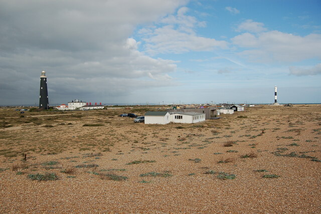
Lydd-on-Sea, also known as Lydd Beach, is a small coastal village located in the county of Kent, England. Situated on the southeastern coast, it is part of the larger Romney Marsh area. With a population of around 1,500 residents, Lydd-on-Sea is a peaceful and picturesque destination for both locals and tourists.
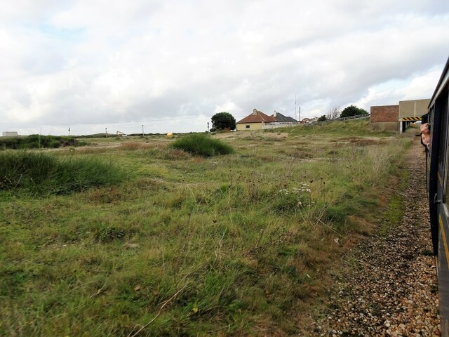
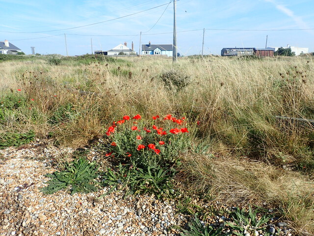
The village is known for its beautiful sandy beach, which stretches for approximately two miles along the coast. The beach is popular among visitors who enjoy sunbathing, swimming, and taking leisurely walks along the shore. The area is also a haven for wildlife enthusiasts, with various bird species often spotted in the surrounding nature reserves.
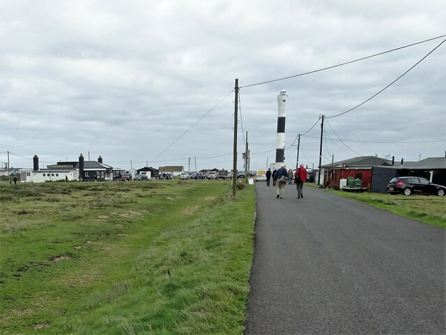
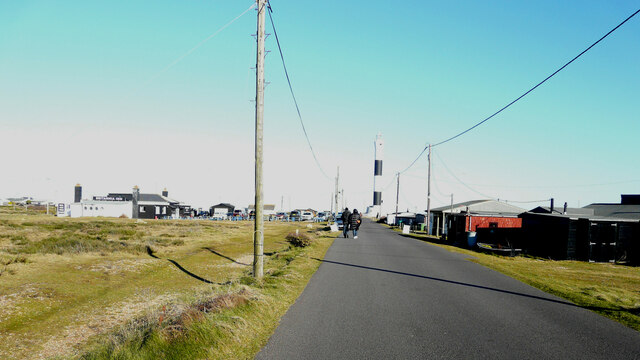
Lydd-on-Sea is home to a small but charming promenade, offering stunning views of the English Channel. The promenade features a few cafes, shops, and amenities for visitors to enjoy. It is a great spot to relax and soak in the peaceful atmosphere of the village.
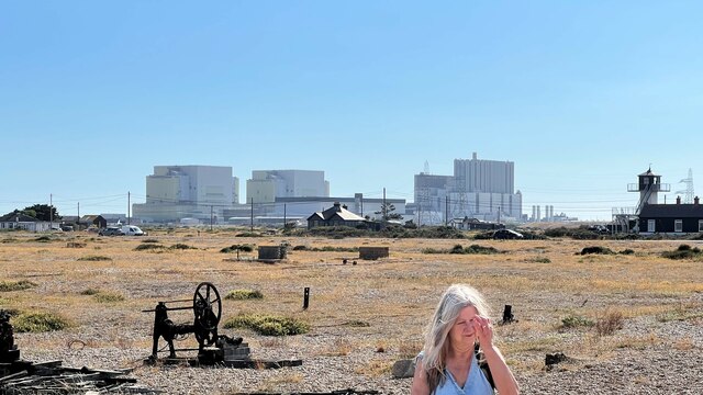
In addition to its natural beauty, Lydd-on-Sea boasts a rich history. The nearby Lydd Camp, a former military training ground, played a significant role during World War II. Today, it serves as a training facility for the British Army and is not open to the public.
Overall, Lydd-on-Sea offers a tranquil and idyllic coastal experience, perfect for those seeking a peaceful getaway or a day trip to enjoy the beauty of the Kentish coast.
If you have any feedback on the listing, please let us know in the comments section below.
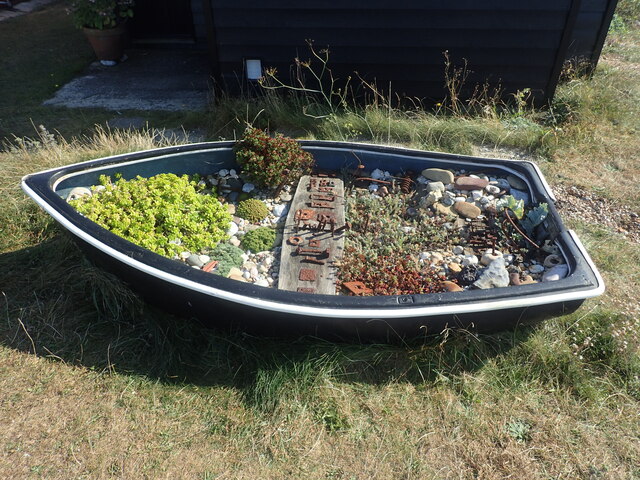
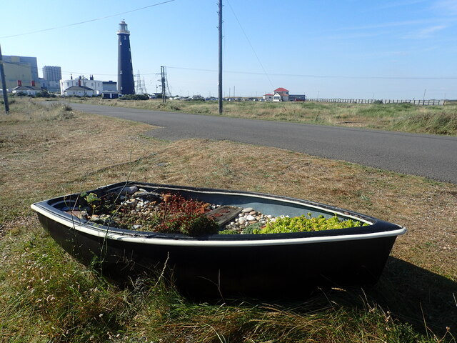
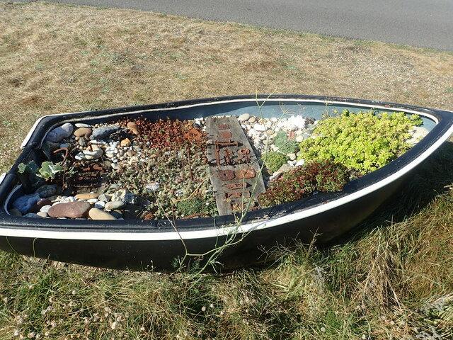
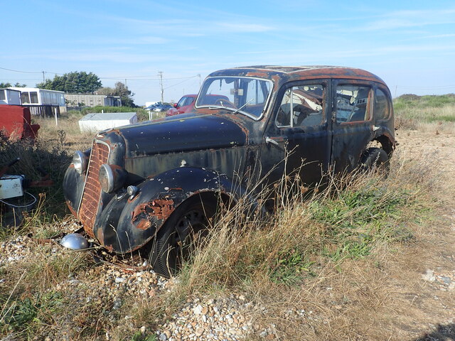
Lydd-on-Sea Images
Images are sourced within 2km of 50.929278/0.97401747 or Grid Reference TR0918. Thanks to Geograph Open Source API. All images are credited.
Lydd-on-Sea is located at Grid Ref: TR0918 (Lat: 50.929278, Lng: 0.97401747)
Administrative County: Kent
District: Shepway
Police Authority: Kent
What 3 Words
///create.flotation.sunroof. Near Lydd, Kent
Nearby Locations
Related Wikis

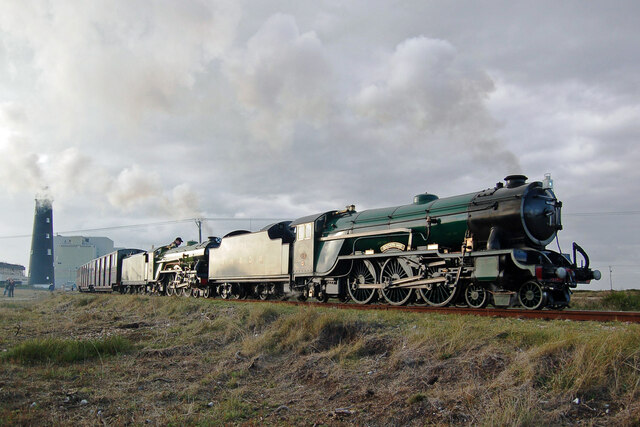
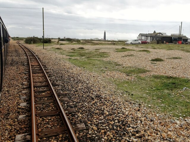
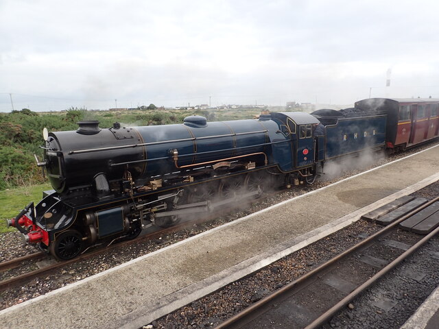
The Pilot Inn railway station
The Pilot Inn railway station was a station on the Romney, Hythe and Dymchurch Railway in Kent, England. Opened on 24 May 1928, this station was a temporary...

1958 Channel Airways de Havilland DH.104 Dove crash
The 1958 Channel Airways de Havilland DH.104 Dove crash occurred on 15 January 1958, when a de Havilland DH.104 Dove of Channel Airways crashed on approach...

Prospect Cottage
Prospect Cottage is a house on the coast in Dungeness, Kent. Originally a Victorian fisherman's hut, the house was purchased by director and artist Derek...

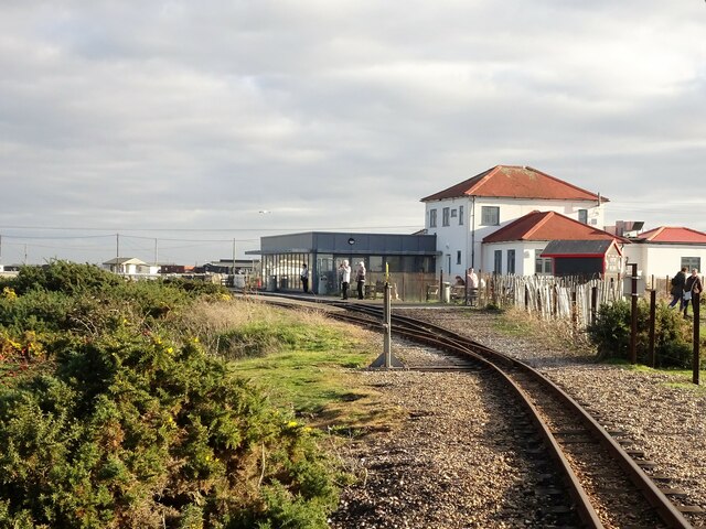
Lydd-on-Sea Halt railway station
Lydd-on-Sea Halt was a railway station which served the modern village of Lydd-on-Sea in Kent, England. The station opened in 1937 and closed in 1967....

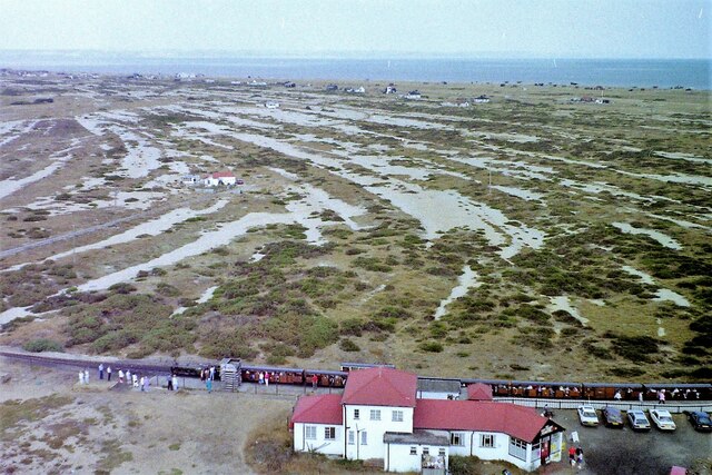
Dungeness, Romney Marsh and Rye Bay
Dungeness, Romney Marsh and Rye Bay is a 10,172.9-hectare (25,138-acre) biological and geological Site of Special Scientific Interest which stretches from...

Britannia Points Halt railway station
Britannia Points Halt railway station was a short-lived conditional stop on the Romney, Hythe and Dymchurch Railway in Kent, England, for about two years...

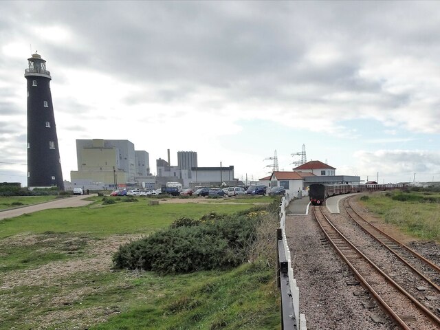
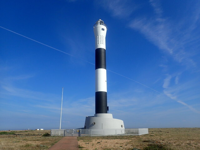
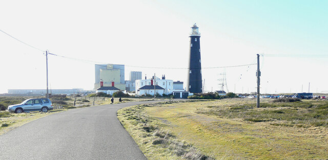
Dungeness
Dungeness (UK: ) is a headland on the coast of Kent, England, formed largely of a shingle beach in the form of a cuspate foreland. It shelters a large...

RSPB Dungeness
RSPB Dungeness is a nature reserve owned and managed by the Royal Society for the Protection of Birds (RSPB) == Landscape == Dungeness headland is a cuspate...
Nearby Amenities
Located within 500m of 50.929278,0.97401747Have you been to Lydd-on-Sea?
Leave your review of Lydd-on-Sea below (or comments, questions and feedback).