Lushbush
Settlement in Norfolk South Norfolk
England
Lushbush
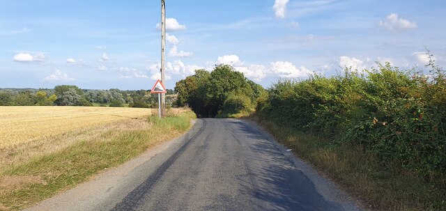
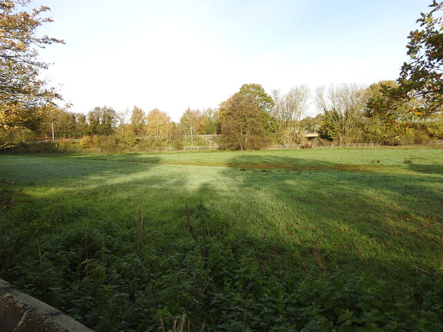
Lushbush is a small village located in the county of Norfolk, in eastern England. Situated in the heart of the Norfolk Broads, it is surrounded by picturesque countryside and offers a tranquil and idyllic setting.
With a population of approximately 500 residents, Lushbush is a close-knit community that prides itself on its friendly and welcoming atmosphere. The village is known for its traditional thatched-roof cottages, which add to its charm and character.
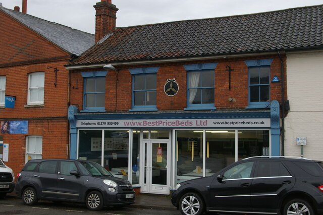
Despite its small size, Lushbush has a range of amenities to cater to the needs of its residents. This includes a local school, a village hall, a post office, and a pub, which serves as a central gathering place for locals and visitors alike.
The village is also a popular destination for nature lovers and outdoor enthusiasts. Its proximity to the Norfolk Broads offers opportunities for boating, fishing, and birdwatching. The surrounding countryside provides ample trails for walking and cycling, allowing visitors to explore the beauty of the area.
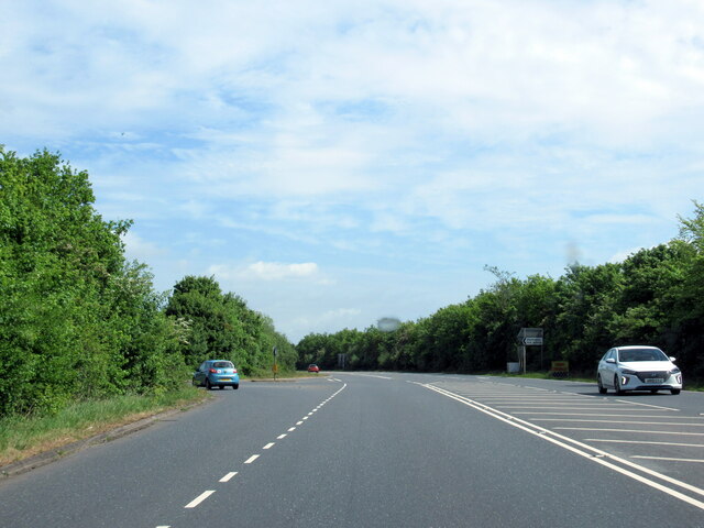
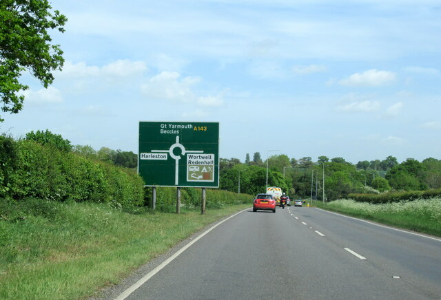
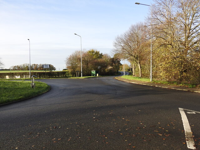
Lushbush is well-connected to other towns and cities in Norfolk, with good transport links, including bus services and nearby train stations. Its location also makes it easily accessible to popular tourist attractions in the region, such as Norwich Cathedral and the historical city of Norwich.
Overall, Lushbush, Norfolk offers a peaceful and scenic retreat for those seeking a slower pace of life and a connection to nature.
If you have any feedback on the listing, please let us know in the comments section below.
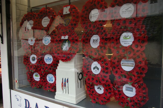
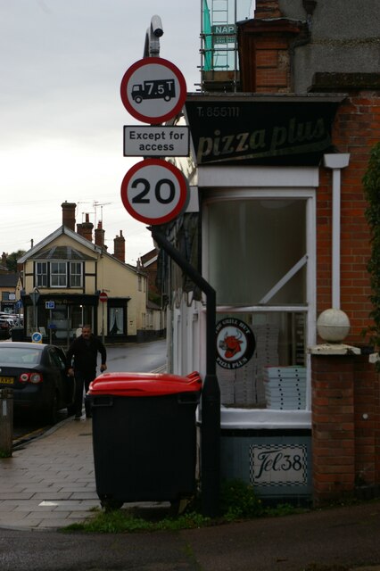
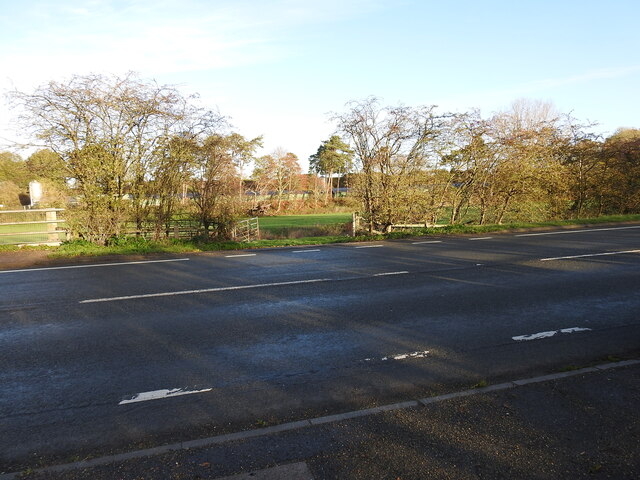
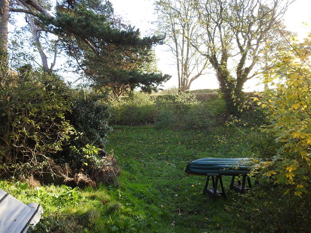
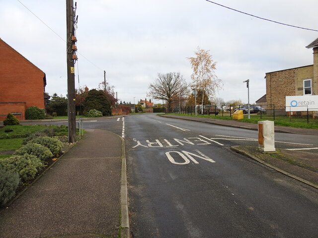
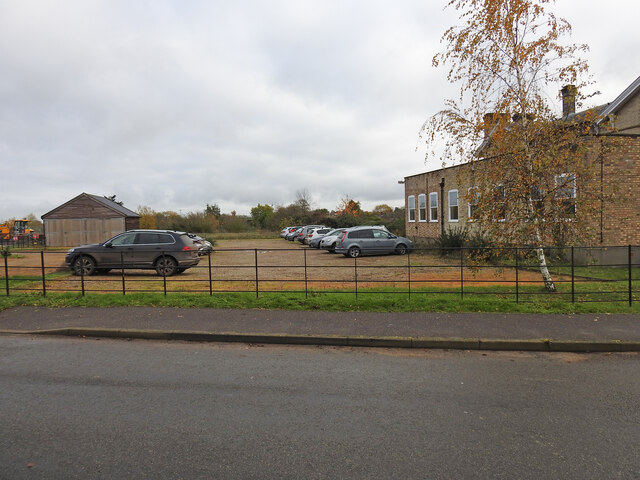
Lushbush Images
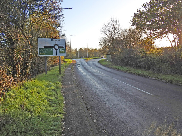
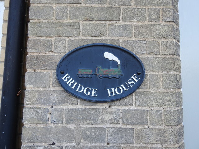
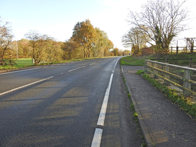
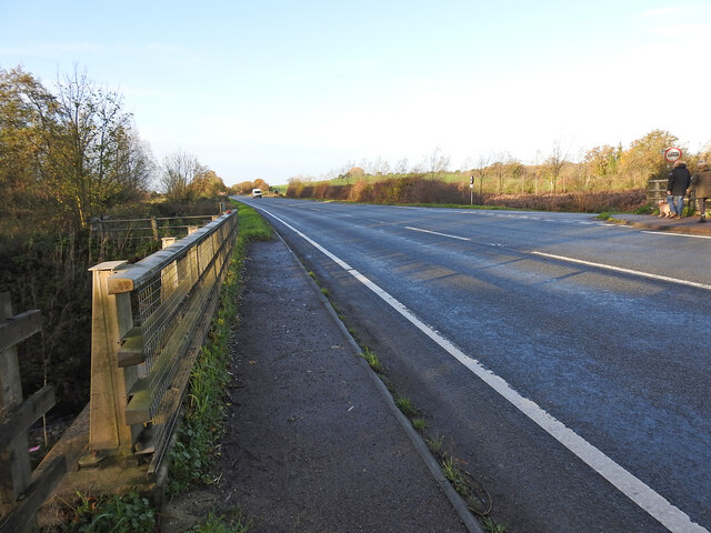
Images are sourced within 2km of 52.410299/1.3149615 or Grid Reference TM2584. Thanks to Geograph Open Source API. All images are credited.
Lushbush is located at Grid Ref: TM2584 (Lat: 52.410299, Lng: 1.3149615)
Administrative County: Norfolk
District: South Norfolk
Police Authority: Norfolk
What 3 Words
///intruded.riskiest.recruiter. Near Harleston, Norfolk
Nearby Locations
Related Wikis

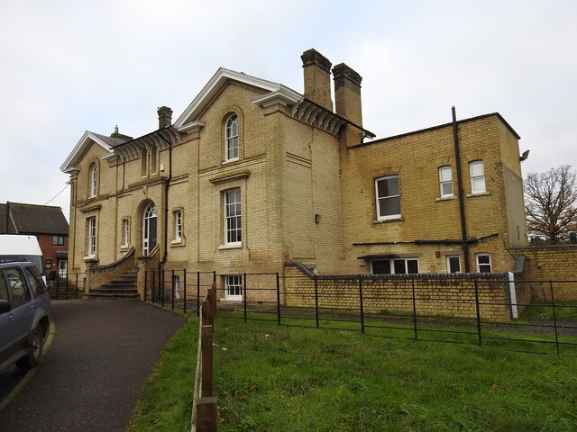
Redenhall railway station
Redenhall was a station in the small hamlet of Redenhall, Norfolk. It was opened in 1861 as part of the Waveney Valley Line between Tivetshall and Beccles...

Church of the Assumption of the Blessed Virgin Mary, Redenhall
The Church of the Assumption of the Blessed Virgin Mary, Redenhall (St. Mary's Church) is a Grade I listed parish church in the Church of England in Redenhall...

Gawdyhall Big Wood, Harleston
Gawdyhall Big Wood, Harleston is a 29.8-hectare (74-acre) biological Site of Special Scientific Interest north of Harleston in Norfolk.This ancient wood...

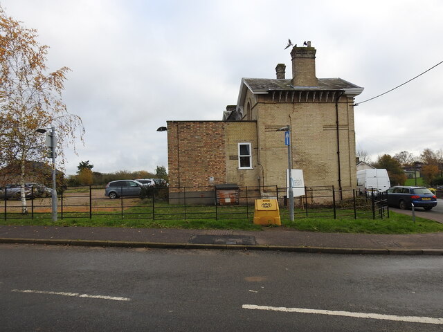
Harleston railway station
Harleston was a railway station in Harleston, Norfolk, on the Waveney Valley Line. It was an early post-war closure; passenger services on this line were...
Nearby Amenities
Located within 500m of 52.410299,1.3149615Have you been to Lushbush?
Leave your review of Lushbush below (or comments, questions and feedback).