Lunga
Settlement in Argyllshire
Scotland
Lunga
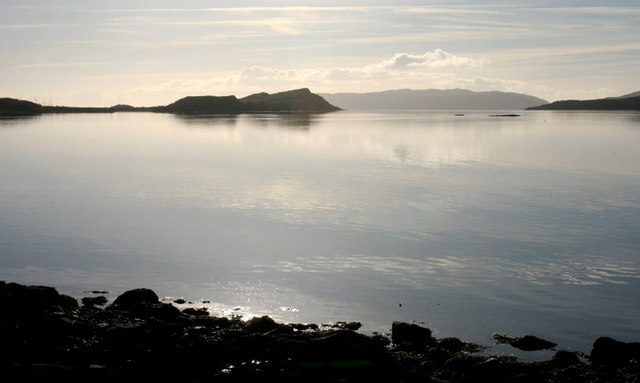
Lunga is a small, picturesque island located in the Firth of Lorn, off the west coast of Scotland, in the county of Argyllshire. Covering an area of about 1.5 square kilometers, it forms part of the Treshnish Isles, a group of uninhabited islands known for their natural beauty and abundant wildlife.
Lunga is characterized by its rugged and dramatic landscape, with sheer cliffs, rocky outcrops, and green slopes that provide a nesting ground for a diverse range of seabirds. The island is particularly famous for its puffin colony, which attracts visitors from far and wide. These charming birds can be observed up close, as they nest in burrows along the cliffs during the breeding season.
Aside from its avian residents, Lunga is also home to other wildlife such as seals, dolphins, and whales, making it a popular destination for wildlife enthusiasts and nature lovers. The island offers breathtaking views of the surrounding sea and neighboring islands, creating a tranquil and idyllic atmosphere for visitors to enjoy.
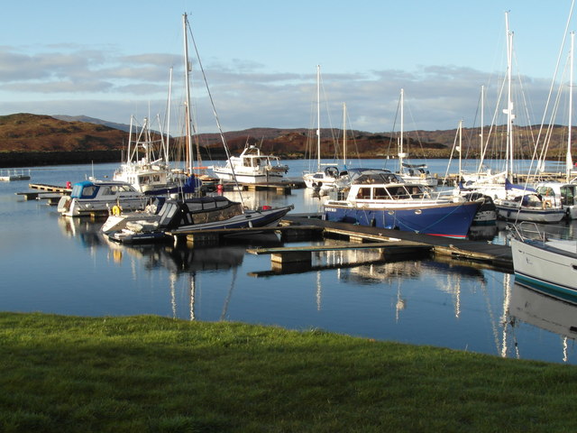
Although uninhabited, Lunga can be visited by boat from nearby Mull or Oban, with regular tours available during the summer months. Visitors can explore the island on foot, following designated paths that allow them to observe the wildlife without disturbing their natural habitat.
Overall, Lunga, Argyllshire is a haven for wildlife and a paradise for birdwatchers, offering a unique and unforgettable experience for those seeking a peaceful retreat in the heart of nature.
If you have any feedback on the listing, please let us know in the comments section below.
Lunga Images
Images are sourced within 2km of 56.201588/-5.5562554 or Grid Reference NM7906. Thanks to Geograph Open Source API. All images are credited.
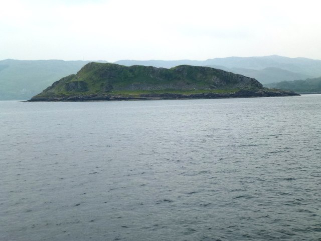
![Port Caol The upstanding rock on the right is Creag nam Muran [<a title="https://www.geograph.org.uk/photo/165706" href="https://www.geograph.org.uk/photo/165706">Link</a>] - part of an igneous dyke. The island of Shuna is on the other side of the water.](https://s1.geograph.org.uk/geophotos/05/64/50/5645077_c396644e.jpg)
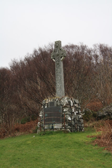
![Monument to Capt Iain MacDougall and Lieut. Col. Stewart MacDougall of Lunga Monument erected in loving memory of Capt Iain MacDougall of Lunga, who died at Villars Cotteret, 1st February 1914; and Lieut. Col. Stewart MacDougall who died at Vermelles, 21st July 1915. For full inscription, see [<a title="https://www.geograph.org.uk/photo/5959573" href="https://www.geograph.org.uk/photo/5959573">Link</a>].](https://s1.geograph.org.uk/geophotos/05/95/95/5959557_742b253b.jpg)
![Plaque on monument in memory of Capt Iain MacDougall and Lieut. Col. Stewart MacDougall of Lunga The monument [<a title="https://www.geograph.org.uk/photo/5959557" href="https://www.geograph.org.uk/photo/5959557">Link</a>] also has two large plaques below this one, showing the MacDougall family tree.](https://s1.geograph.org.uk/geophotos/05/95/95/5959573_a533a28d.jpg)
Lunga is located at Grid Ref: NM7906 (Lat: 56.201588, Lng: -5.5562554)
Unitary Authority: Argyll and Bute
Police Authority: Argyll and West Dunbartonshire
What 3 Words
///shoelaces.august.feelers. Near Lochgilphead, Argyll & Bute
Nearby Locations
Related Wikis

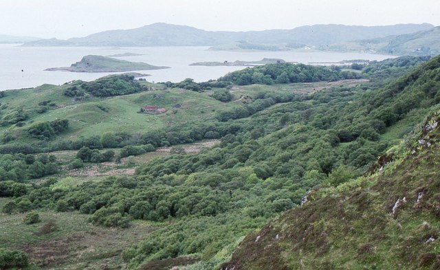
Craignish
Craignish (Scottish Gaelic, Creiginis) is a peninsula in Argyll, on the west coast of Scotland. It lies around 25 miles (40 km) south of Oban, and 10 miles...

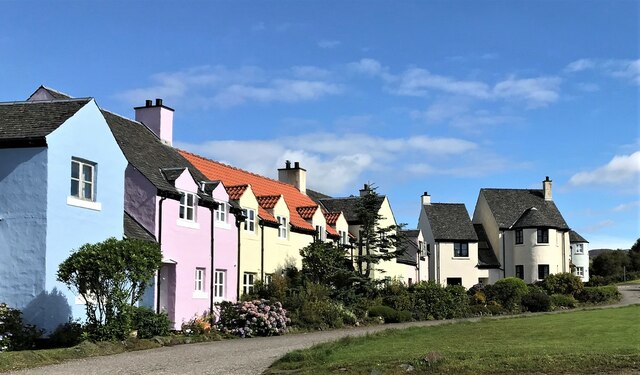
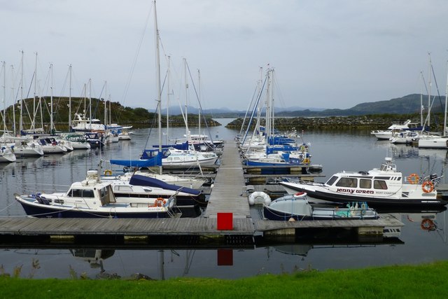
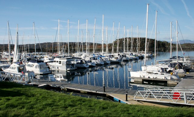
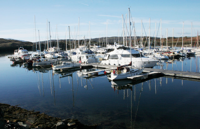
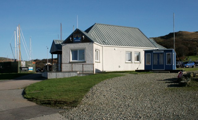
Craobh Haven
Craobh Haven Scottish Gaelic pronunciation: [kɾɯːv] is a small purpose-built village and sailing port on the west coast of Argyll and Bute, Scotland. It...

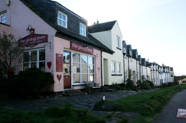
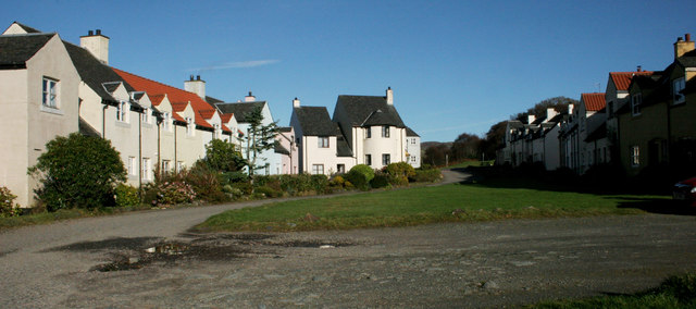
Ardfern
Ardfern (Scottish Gaelic: Aird Fheàrna, meaning "the head-land of alder-trees") is a village in Argyll and Bute, Scotland. It lies on the south coast of...

Eilean Mhic Chrion
Eilean Mhic Chrion is a tidal island sheltering Ardfern in Loch Craignish, Scotland. Eilean Mhic Chrion is one of 43 tidal islands that can be walked to...
Nearby Amenities
Located within 500m of 56.201588,-5.5562554Have you been to Lunga?
Leave your review of Lunga below (or comments, questions and feedback).