Loxley Bottom
Settlement in Yorkshire
England
Loxley Bottom
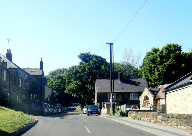
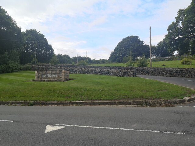
Loxley Bottom is a small rural hamlet located in the county of Yorkshire, England. Nestled amidst the picturesque beauty of the countryside, it is situated within the district of Sheffield, South Yorkshire. The hamlet is surrounded by lush green fields, rolling hills, and tranquil woodlands, making it a haven for nature enthusiasts and those seeking a peaceful retreat.
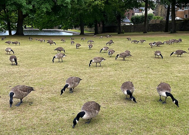
The area is renowned for its stunning natural landscapes, with the River Loxley flowing nearby, offering breathtaking views and a serene atmosphere. The river serves as a prominent feature, attracting visitors for its fishing opportunities and idyllic riverside walks.
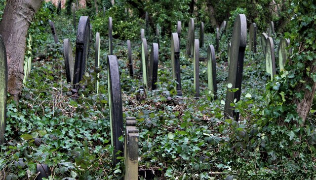
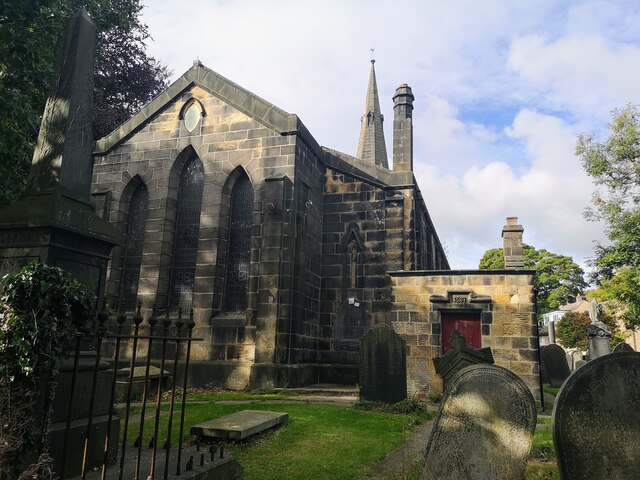
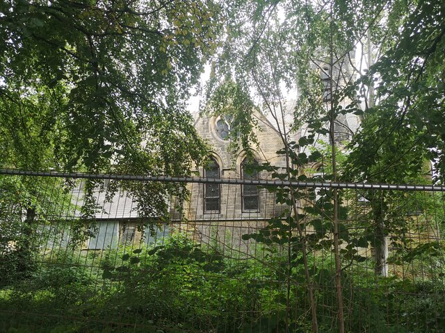
Loxley Bottom boasts a rich historical heritage, with evidence of human settlement dating back to ancient times. The hamlet is steeped in folklore and folklore, with tales of Robin Hood and his Merry Men being associated with the nearby Sherwood Forest. Visitors can explore the area's history by visiting nearby landmarks such as the Loxley Chapel, a Grade II listed building, which stands as a testament to the area's past.
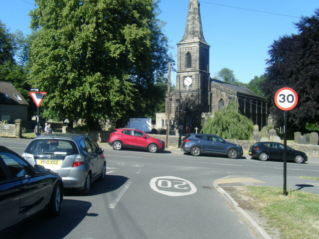
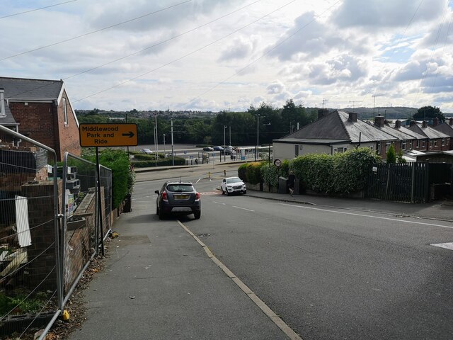
Despite its rural charm, Loxley Bottom is well-connected to nearby towns and cities. The bustling city of Sheffield is just a short distance away, offering a range of amenities, shopping centers, and cultural attractions. Additionally, the hamlet's proximity to the Peak District National Park provides opportunities for outdoor activities such as hiking, cycling, and birdwatching.
In summary, Loxley Bottom is a picturesque and historically significant hamlet in Yorkshire, offering a peaceful escape from the hustle and bustle of urban life, while providing easy access to nearby attractions and natural beauty.
If you have any feedback on the listing, please let us know in the comments section below.
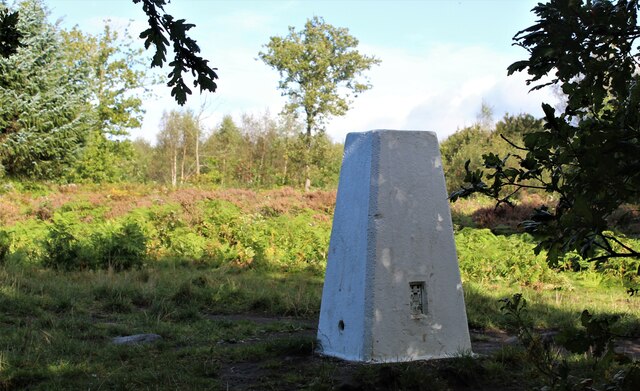
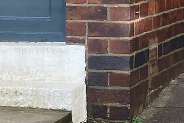
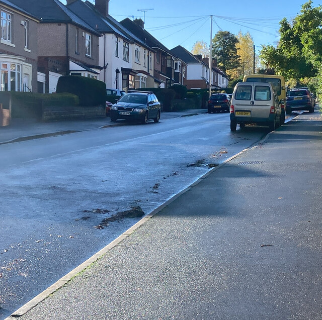
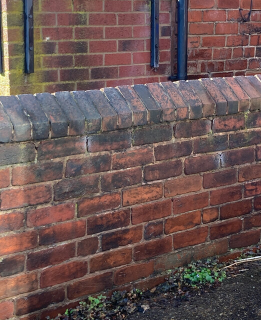
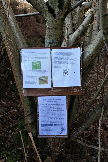
Loxley Bottom Images
Images are sourced within 2km of 53.402038/-1.5166338 or Grid Reference SK3289. Thanks to Geograph Open Source API. All images are credited.
Loxley Bottom is located at Grid Ref: SK3289 (Lat: 53.402038, Lng: -1.5166338)
Division: West Riding
Unitary Authority: Sheffield
Police Authority: South Yorkshire
What 3 Words
///former.lung.mixed. Near Burngreave, South Yorkshire
Nearby Locations
Related Wikis

Malin Bridge
Malin Bridge is a suburb of the city of Sheffield, England. It is located at grid reference SK325893 and stands 2+1⁄2 miles north-west of the city centre...

Myers Grove School
Myers Grove School was a secondary school (11–16) in the north-west of Sheffield, South Yorkshire, England. The school was bidding to become a businesses...
Forge Valley School
Forge Valley School is a secondary school and sixth form located in Sheffield, South Yorkshire England. It replaced Myers Grove School and Wisewood School...
Wisewood
Wisewood is a suburb of the city of Sheffield in South Yorkshire, England and situated 2+3⁄4 miles (4.4 km) north-west of the city centre. It is a residential...
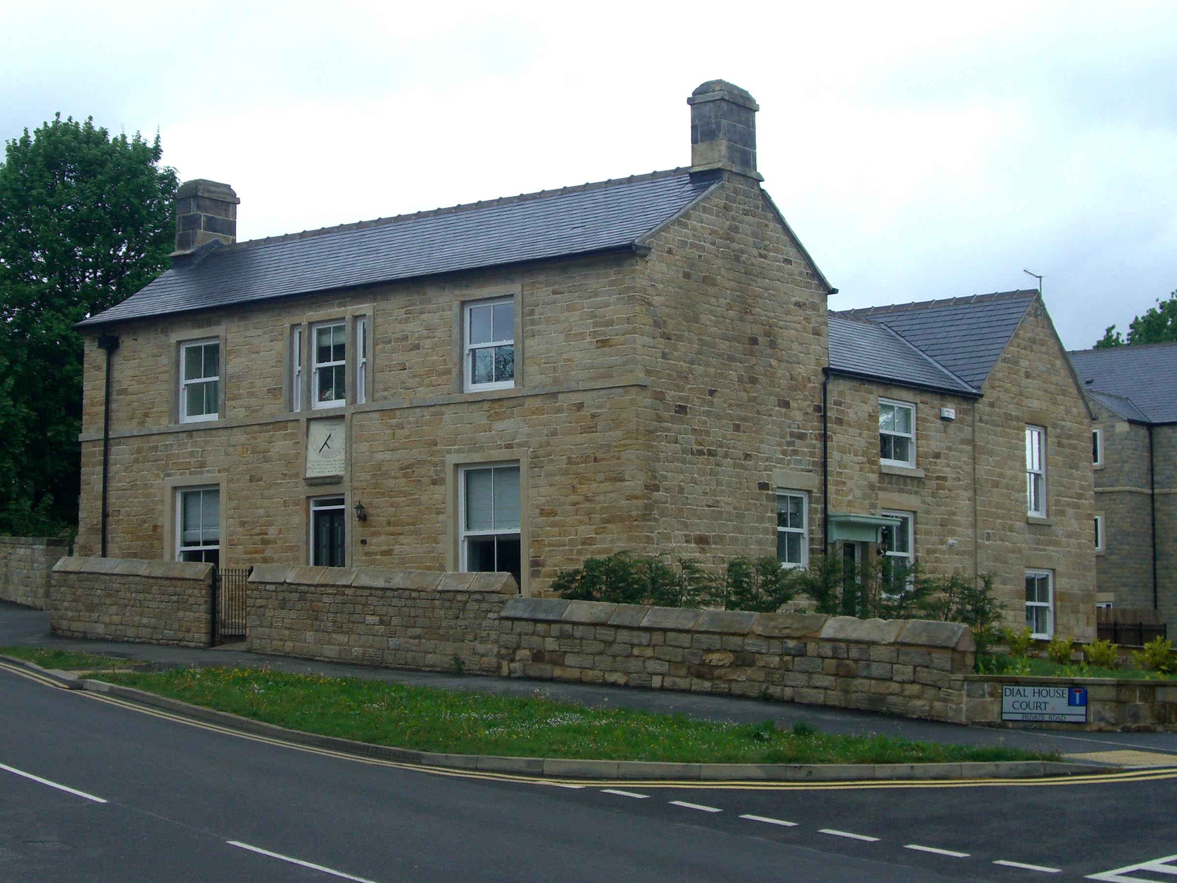
Dial House, Sheffield
Dial House is a Grade II listed building located on Ben Lane in the Wisewood area of the City of Sheffield in England. The house was originally a private...

A. L. Simpkin & Co. Ltd
A. L. Simpkin & Co. Ltd are a company of confectionery makers based in Sheffield, England. The firm's premises are located on Hunter Road in the Hillsborough...

Wadsley
Wadsley is a suburb of the City of Sheffield in South Yorkshire, England. It stands 3 miles (5 km) north-west of the city centre at an approximate grid...
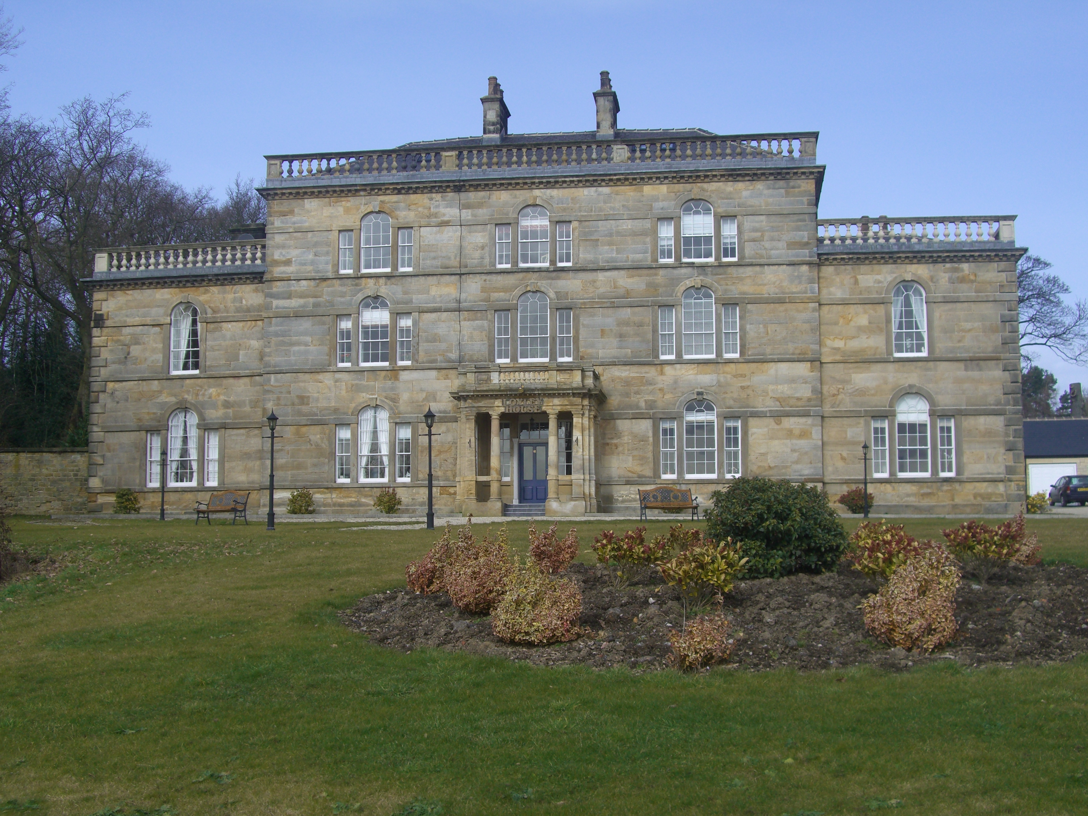
Loxley House
Loxley House is a Georgian building situated off Ben Lane in the Wadsley area of Sheffield in South Yorkshire, England. It is a Grade Two Listed building...
Nearby Amenities
Located within 500m of 53.402038,-1.5166338Have you been to Loxley Bottom?
Leave your review of Loxley Bottom below (or comments, questions and feedback).