Lower Soundwell

Settlement in Gloucestershire

England

Lower Soundwell

Mangotsfield (Glos) St James Church
Mangotsfield (Glos) St James Church Credit: ChurchCrawler

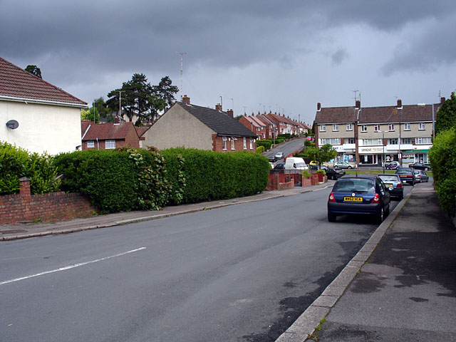
Lower Soundwell is a small village located in the county of Gloucestershire, England. Situated in the South West region of the country, it is part of the local government district of South Gloucestershire. The village lies approximately 7 miles east of the city of Bristol and is bordered by the neighbouring villages of Staple Hill, Siston, and Pucklechurch.

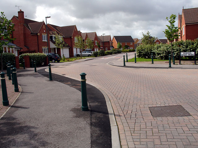
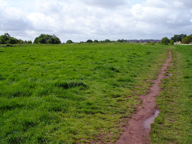
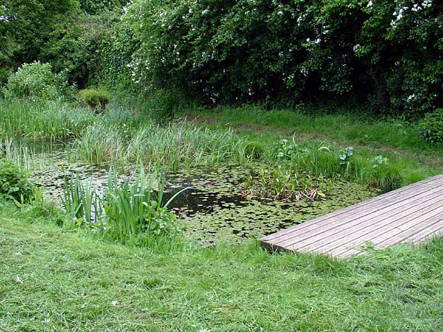
Lower Soundwell has a rural and picturesque setting, surrounded by beautiful countryside and farmland. The landscape is characterized by rolling hills and green fields, providing a tranquil and peaceful atmosphere for residents and visitors alike. The village is well-connected to nearby towns and cities, with good transport links, including the nearby A4174 road.

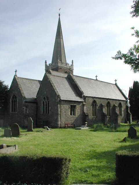
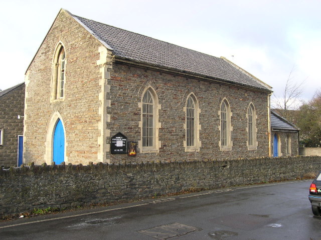
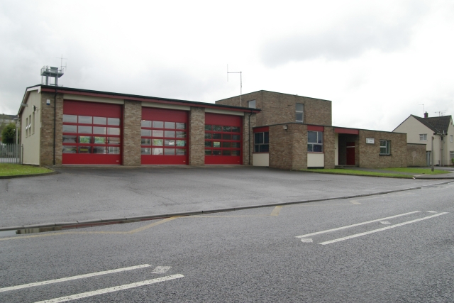
Despite its small size, Lower Soundwell has a sense of community and offers several amenities and facilities for its residents. These include a local shop, a primary school, and a community center. The village is also home to a number of historic buildings, including St. Stephen's Church, which dates back to the 12th century and is a notable landmark in the area.

For outdoor enthusiasts, Lower Soundwell offers easy access to the nearby countryside, providing opportunities for walking, cycling, and exploring nature. The village is also close to the Bristol and Bath Railway Path, a popular route for walkers and cyclists that connects the two cities.

Overall, Lower Soundwell is a charming and idyllic village, offering a peaceful retreat from the nearby city of Bristol, while still providing convenient access to amenities and natural beauty.

If you have any feedback on the listing, please let us know in the comments section below.

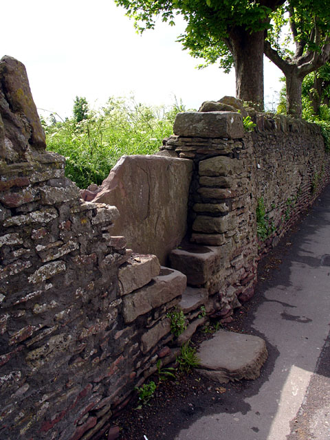
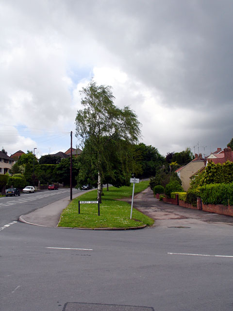
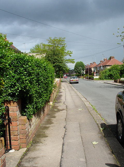
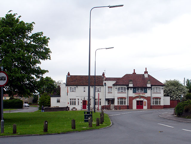
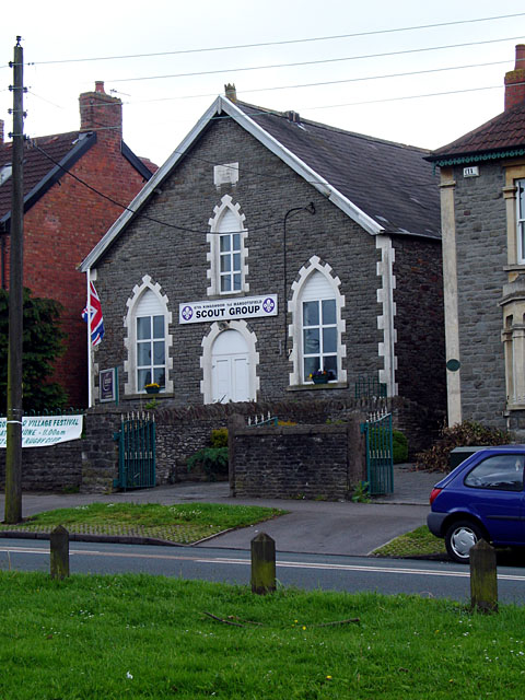
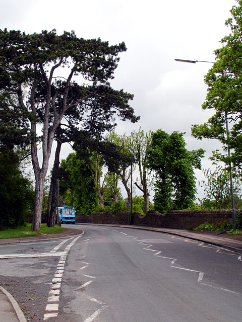
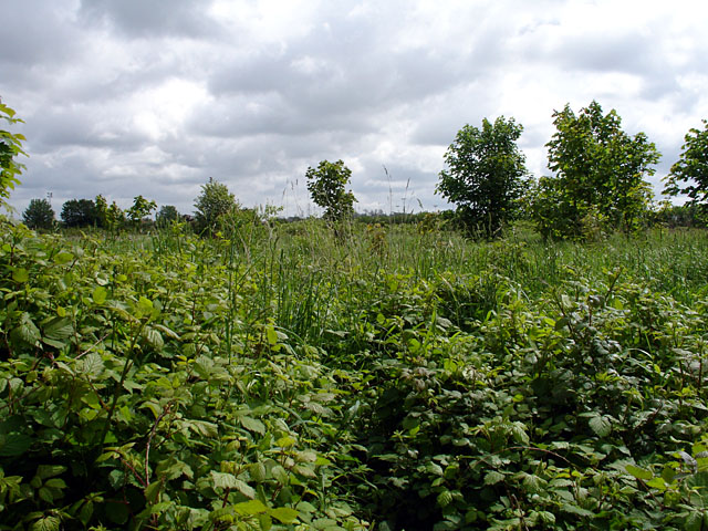
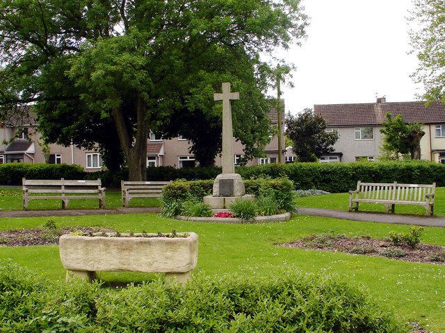
Lower Soundwell Images

Images are sourced within 2km of 51.473234/-2.4943417 or Grid Reference ST6575. Thanks to Geograph Open Source API. All images are credited.

Mangotsfield (Glos) St James Church
Shortwood (Glos) Primitive Methodist Chapel
Regent Street Kingswood, looking east past the clock In Regent Street (on the A420) in Kingswood. Looking east past Kingswood's
elegant clock tower while standing on the opposite side of the road from
the King's Chase Shopping Centre. The right-turn in the foreground is into
Moravian Road.
Regent Street Kingswood, looking east past the clock
In Regent Street (on the A420) in Kingswood. Looking east past Kingswood's elegant clock tower while standing on the opposite side of the road from the King's Chase Shopping Centre. The right-turn in the foreground is into Moravian Road.
Kingswood, South Gloucestershire, Parish Church The parish church of Holy Trinity
Kingswood, South Gloucestershire, Parish Church
The parish church of Holy Trinity
Warmley, South Gloucestershire, Congregational Church
Kingswood Fire Station Kingswood Fire Station, Tenniscourt Road, Bristol is station number 10 of Avon Fire & Rescue Service
Kingswood Fire Station
Kingswood Fire Station, Tenniscourt Road, Bristol is station number 10 of Avon Fire & Rescue Service
Emerson's Green Looking down Shackel Hendy Mews.

Very quiet roads, hardly met a single pedestrian along my journey.
Emerson's Green
Looking down Shackel Hendy Mews. Very quiet roads, hardly met a single pedestrian along my journey.
Rodway Hill Rodway Hill covers an area of around 34.5 acres. The name Rodway comes from the Celtic words 'rod' which means feed and 'way' which means watery. The land originally belonged to the King, and in Saxon times deer, hare, rabbit, wolf, fox and boar were all found here.
Information from a notice board near the road-side.
Rodway Hill
Rodway Hill covers an area of around 34.5 acres. The name Rodway comes from the Celtic words 'rod' which means feed and 'way' which means watery. The land originally belonged to the King, and in Saxon times deer, hare, rabbit, wolf, fox and boar were all found here. Information from a notice board near the road-side.
Stile on Rodway Road This stile is at the end of a path joining Rodway Hill Road and Cossham Street.
Stile on Rodway Road
This stile is at the end of a path joining Rodway Hill Road and Cossham Street.
Burley Grove Road junction where Burley Grove joins Mangotsfield Road, looking west. The small road which borders the grassy area is Broad St.
Burley Grove
Road junction where Burley Grove joins Mangotsfield Road, looking west. The small road which borders the grassy area is Broad St.
Looking along Burley Grove
The Lamb Inn, Mangotsfield This was originally comprised of 3 cottages, and date from 1596. There are references to a brewhouse in 1737. Most of the present structure dates from the 19th century.
The Lamb Inn, Mangotsfield
This was originally comprised of 3 cottages, and date from 1596. There are references to a brewhouse in 1737. Most of the present structure dates from the 19th century.
67th Kingswood 1st Mangotsfield Scout Group Taken from on Mangotsfield Common, this building was bought by the 67th Kingswood 1st Mangotsfield Scout Troop  in 1970 and renamed Baden Hall. It was originally the Wesleyan Methodist Church, which was built on land which was once part of the Hill House Estate.
67th Kingswood 1st Mangotsfield Scout Group
Taken from on Mangotsfield Common, this building was bought by the 67th Kingswood 1st Mangotsfield Scout Troop in 1970 and renamed Baden Hall. It was originally the Wesleyan Methodist Church, which was built on land which was once part of the Hill House Estate.
Looking along Rodway Hill Road At the junction of Rodway Hill Road and Manor Road, with a local bus just coming into view.
Rodway Hill Farm is behind the wall, although the land looked very overgrown.
Looking along Rodway Hill Road
At the junction of Rodway Hill Road and Manor Road, with a local bus just coming into view. Rodway Hill Farm is behind the wall, although the land looked very overgrown.
Rodway Hill Farm Marked on the map as Rodway Hill Farm.
Rodway Hill Farm
Marked on the map as Rodway Hill Farm.
Mangotsfield War Memorial The War Memorial is situated on the cross-roads in the centre of Mangotsfield.
Mangotsfield War Memorial
The War Memorial is situated on the cross-roads in the centre of Mangotsfield.
Looking along Burley Grove Looking out of grid square ST6575 into ST6576, the grid line is near the white van. The road beyond (going up a slight hill) is Almond Way. This is an area which contains council/housing association housing.
Looking along Burley Grove
Looking out of grid square ST6575 into ST6576, the grid line is near the white van. The road beyond (going up a slight hill) is Almond Way. This is an area which contains council/housing association housing.
Vinny Green Wildlife Pond This pond has been fenced off.
Vinny Green Wildlife Pond
This pond has been fenced off.
Show me another place!

Lower Soundwell is located at Grid Ref: ST6575 (Lat: 51.473234, Lng: -2.4943417)

Unitary Authority: South Gloucestershire

Police Authority: Avon and Somerset

What 3 Words

///love.among.guilty. Near Mangotsfield, Gloucestershire

Related Wikis

Soundwell

Soundwell, Bristol is a suburb of Bristol, England in the South Gloucestershire District. It is situated between Kingswood and Staple Hill. Located centrally...

Mangotsfield

Mangotsfield is a village and former civil parish in the unitary authority area of South Gloucestershire, in the ceremonial county of Gloucestershire,...

Mangotsfield railway station

Mangotsfield railway station was a railway station on the Midland Railway route between Bristol and Birmingham, 5.1 miles (8.2 km) north-east of Bristol...

Staple Hill, Gloucestershire

Staple Hill is a suburb of Bristol, England, lying outside the city boundary in South Gloucestershire, in the ceremonial county of Gloucestershire. It...

Nearby Amenities

Located within 500m of 51.473234,-2.4943417
Mini Roundabout
Direction: clockwise
Lat/Long: 51.4746422/-2.4921189
Traffic Calming: table
Lat/Long: 51.4693216/-2.491891
Bus Stop
Champion Road
Bus: yes
Naptan AtcoCode: 0170SGB20064
Naptan Bearing: NW
Naptan CommonName: Champion Road
Naptan Crossing: Champion Road
Naptan NaptanCode: sglgdwt
Naptan PlusbusZoneRef: BRSTLTM
Naptan Street: Pound Road
Naptan Verified: no
Public Transport: platform
Shelter: yes
Source: naptan_import
Lat/Long: 51.469494/-2.4924202
Bus Stop
Highview Road
Naptan AtcoCode: 0170SGB20065
Naptan Bearing: NW
Naptan CommonName: Highview Road
Naptan Crossing: Cranham Close
Naptan NaptanCode: sglgdgm
Naptan PlusbusZoneRef: BRSTLTM
Naptan Street: Pound Road
Naptan Verified: no
Source: naptan_import
Lat/Long: 51.4703799/-2.4955684
Bus Stop
Pool Road
Bus: yes
Naptan AtcoCode: 0170SGB20066
Naptan Bearing: N
Naptan CommonName: Pool Road
Naptan Crossing: Chedworth
Naptan NaptanCode: sglgajg
Naptan PlusbusZoneRef: BRSTLTM
Naptan Street: Pool Road
Naptan Verified: no
Public Transport: platform
Shelter: yes
Source: naptan_import
Wheelchair: yes
Lat/Long: 51.4727842/-2.4989924
Bus Stop
Jubilee Road
Naptan AtcoCode: 0170SGB20324
Naptan Bearing: NW
Naptan CommonName: Jubilee Road
Naptan Crossing: Baglyn Avenue
Naptan NaptanCode: sglgdgj
Naptan PlusbusZoneRef: BRSTLTM
Naptan Street: Station Road
Naptan Verified: no
Source: naptan_import
Lat/Long: 51.4767465/-2.4954934
Bus Stop
Chiphouse Road
Naptan AtcoCode: 0170SGB20403
Naptan Bearing: N
Naptan CommonName: Chiphouse Road
Naptan Crossing: Hot Water Lane
Naptan NaptanCode: sglgjgj
Naptan PlusbusZoneRef: BRSTLTM
Naptan Street: Station Road
Naptan Verified: no
Source: naptan_import
Lat/Long: 51.4736528/-2.4913275
Bus Stop
Bridge Road
Naptan AtcoCode: 0170SGB20404
Naptan Bearing: SE
Naptan CommonName: Bridge Road
Naptan Crossing: Bridge Road
Naptan NaptanCode: sglgdtw
Naptan PlusbusZoneRef: BRSTLTM
Naptan Street: Station Road
Naptan Verified: no
Source: naptan_import
Lat/Long: 51.474807/-2.4927078
Bus Stop
Middle Road
Naptan AtcoCode: 0170SGB20405
Naptan Bearing: W
Naptan CommonName: Middle Road
Naptan Crossing: Chestnut Road
Naptan NaptanCode: sglgawm
Naptan PlusbusZoneRef: BRSTLTM
Naptan Street: Middle Road
Naptan Verified: no
Source: naptan_import
Lat/Long: 51.4755843/-2.4960135
Bus Stop
Middle Road
Naptan AtcoCode: 0170SGB20406
Naptan Bearing: W
Naptan CommonName: Middle Road
Naptan Crossing: Larch Road
Naptan NaptanCode: sglgagw
Naptan PlusbusZoneRef: BRSTLTM
Naptan Street: Middle Road
Naptan Verified: no
Source: naptan_import
Lat/Long: 51.4755078/-2.4992237
Bus Stop
Middle Road
Naptan AtcoCode: 0170SGB20412
Naptan Bearing: E
Naptan CommonName: Middle Road
Naptan Crossing: Jubilee Road
Naptan NaptanCode: sglgada
Naptan PlusbusZoneRef: BRSTLTM
Naptan Street: Middle Road
Naptan Verified: no
Source: naptan_import
Lat/Long: 51.4756055/-2.4994983
Bus Stop
Middle Road
Naptan AtcoCode: 0170SGB20413
Naptan Bearing: E
Naptan CommonName: Middle Road
Naptan Crossing: Chestnut Road
Naptan NaptanCode: sglgdam
Naptan PlusbusZoneRef: BRSTLTM
Naptan Street: Middle Road
Naptan Verified: no
Source: naptan_import
Lat/Long: 51.4756398/-2.4956398
Bus Stop
Bridge Road
Naptan AtcoCode: 0170SGB20414
Naptan Bearing: SE
Naptan CommonName: Bridge Road
Naptan Crossing: Hot Water Lane
Naptan NaptanCode: sglgjdp
Naptan PlusbusZoneRef: BRSTLTM
Naptan Street: Station Road
Naptan Verified: no
Source: naptan_import
Lat/Long: 51.4744064/-2.4917388
Bus Stop
Chiphouse Road
Naptan AtcoCode: 0170SGB20415
Naptan Bearing: SE
Naptan CommonName: Chiphouse Road
Naptan Crossing: Chiphouse Road
Naptan NaptanCode: sglgjmp
Naptan PlusbusZoneRef: BRSTLTM
Naptan Street: Station Road
Naptan Verified: no
Source: naptan_import
Lat/Long: 51.4732774/-2.4907907
Bus Stop
Pool Road
Naptan AtcoCode: 0170SGB20426
Naptan Bearing: SE
Naptan CommonName: Pool Road
Naptan Crossing: Chedworth
Naptan NaptanCode: sglgagt
Naptan PlusbusZoneRef: BRSTLTM
Naptan Street: Pool Road
Naptan Verified: no
Source: naptan_import
Lat/Long: 51.4733946/-2.4992294
Bus Stop
Highview Road
Naptan AtcoCode: 0170SGB20427
Naptan Bearing: E
Naptan CommonName: Highview Road
Naptan Crossing: Cranham Close
Naptan NaptanCode: sglgdja
Naptan PlusbusZoneRef: BRSTLTM
Naptan Street: Pound Road
Naptan Verified: no
Source: naptan_import
Lat/Long: 51.4704797/-2.4953535
Bus Stop
Champion Road
Bus: yes
Naptan AtcoCode: 0170SGB20428
Naptan Bearing: E
Naptan CommonName: Champion Road
Naptan Crossing: Sherbourne Close
Naptan NaptanCode: sglgdwj
Naptan PlusbusZoneRef: BRSTLTM
Naptan Street: Pound Road
Naptan Verified: no
Public Transport: platform
Shelter: no
Source: naptan_import
Lat/Long: 51.4696551/-2.4926091
Post Box
Lat/Long: 51.472015/-2.4985471
Grit Bin
Access: yes
Colour: yellow
Material: plastic
Lat/Long: 51.4717118/-2.4967924
Fast Food
Marios Fish Bar
Addr City: Bristol
Addr Housenumber: 1D
Addr Postcode: BS15 1XL
Addr Street: Pool Road
Cuisine: fish_and_chips
Fhrs Id: 51062
Lat/Long: 51.4726428/-2.4992247
Fast Food
Green Bambo
Addr City: Bristol
Addr Housenumber: 1E
Addr Postcode: BS15 1XL
Addr Street: Pool Road
Cuisine: chinese
Fhrs Id: 44742
Lat/Long: 51.4727079/-2.4992209
Best One
Addr City: Bristol
Addr Housenumber: 1E
Addr Postcode: BS15 1XL
Addr Street: Pool Road
Brand Wikidata: Q4896532
Fhrs Id: 60934
Shop: convenience
Lat/Long: 51.4727625/-2.4992348
Direction: both
Surface: asphalt
Traffic Calming: table
Lat/Long: 51.472418/-2.4991882
Turning Circle
Lat/Long: 51.4740165/-2.4944736
Barrier: cycle_barrier
Lat/Long: 51.4705046/-2.4889845
Barrier: bollard
Lat/Long: 51.4708875/-2.4957477
Barrier: bollard
Lat/Long: 51.4717888/-2.4985583
Barrier: bollard
Lat/Long: 51.4718389/-2.4981747
Barrier: kissing_gate
Lat/Long: 51.4709867/-2.4998092
Note: demolished post Bing imagery
Lat/Long: 51.4731175/-2.4892757
Power: substation
Lat/Long: 51.4702224/-2.4917908
Colour: green
Man Made: street_cabinet
Street Cabinet: telecom
Lat/Long: 51.4750308/-2.4928167
Traffic Calming: chicane
Lat/Long: 51.4745374/-2.4936513
Power: substation
Lat/Long: 51.4749739/-2.4932843
Post Box
Collection Times: Mo-Fr 09:00; Sa 07:00; Su off
Operator: Royal Mail
Post Box Apertures: 2
Post Box Type: pillar
Ref: BS15 1068D
Royal Cypher: EIIR
Royal Cypher Wikidata: Q33102113
Lat/Long: 51.4749729/-2.4930425
Barrier: bollard
Lat/Long: 51.4752556/-2.4933165
Colour: green
Man Made: street_cabinet
Lat/Long: 51.4710758/-2.4881964
Power: pole
Lat/Long: 51.4755828/-2.4968734
Power: pole
Lat/Long: 51.4756405/-2.4971618
Power: pole
Lat/Long: 51.4755085/-2.4973026
Power: pole
Lat/Long: 51.4750767/-2.4973699
Power: pole
Lat/Long: 51.4757116/-2.4965027
Power: pole
Lat/Long: 51.4756727/-2.4958489
Power: pole
Lat/Long: 51.475625/-2.4952427
Power: pole
Lat/Long: 51.4755741/-2.4946365
Power: pole
Lat/Long: 51.475549/-2.4940451
Power: pole
Lat/Long: 51.4755549/-2.4934845
Power: pole
Lat/Long: 51.4751598/-2.4932029
Power: pole
Lat/Long: 51.4756434/-2.4932753
Power: pole
Lat/Long: 51.4755081/-2.4931868
Power: pole
Lat/Long: 51.4759132/-2.4937433
Power: pole
Lat/Long: 51.476158/-2.4942758
Power: pole
Lat/Long: 51.4763041/-2.4942248
Power: pole
Lat/Long: 51.4764027/-2.4948028
Power: pole
Lat/Long: 51.4764804/-2.4946151
Power: pole
Lat/Long: 51.4766124/-2.4952722
Power: pole
Lat/Long: 51.4767443/-2.4951998
Power: pole
Lat/Long: 51.4767903/-2.4956773
Power: pole
Lat/Long: 51.4769941/-2.4961236
Power: pole
Lat/Long: 51.4772055/-2.4965802
Power: pole
Lat/Long: 51.4770228/-2.4970619
Power: pole
Lat/Long: 51.4768524/-2.4975259
Power: pole
Lat/Long: 51.4767563/-2.4980798
Power: pole
Lat/Long: 51.4766769/-2.4986404
Power: pole
Lat/Long: 51.4755615/-2.4977596
Power: pole
Lat/Long: 51.4755121/-2.498341
Power: pole
Lat/Long: 51.4755873/-2.4990379
Power: pole
Lat/Long: 51.4755289/-2.4996873
Power: pole
Lat/Long: 51.4759245/-2.4981831
Power: pole
Lat/Long: 51.4763416/-2.4980875
Noexit: yes
Lat/Long: 51.4726154/-2.4937381
Power: pole
Lat/Long: 51.4732374/-2.4928609
Power: pole
Lat/Long: 51.4733476/-2.4928515
Power: pole
Lat/Long: 51.4733568/-2.4922427
Power: pole
Lat/Long: 51.4735899/-2.4928797
Power: pole
Lat/Long: 51.473371/-2.491607
Power: pole
Lat/Long: 51.4733953/-2.4909069
Power: pole
Lat/Long: 51.4733201/-2.493518
Power: pole
Lat/Long: 51.4732967/-2.4941537
Entrance: yes
Lat/Long: 51.4731074/-2.4942669
Street Lamp
Lat/Long: 51.4731891/-2.4942237
Power: pole
Lat/Long: 51.4732563/-2.4947548
Power: pole
Lat/Long: 51.4734827/-2.495247
Power: pole
Lat/Long: 51.4735688/-2.4958237
Power: pole
Lat/Long: 51.4734295/-2.4963805
Power: pole
Lat/Long: 51.4731732/-2.4968645
Power: pole
Lat/Long: 51.4729099/-2.4973315
Power: pole
Lat/Long: 51.4727296/-2.4978896
Power: pole
Lat/Long: 51.4725463/-2.498485
Direction: both
Surface: asphalt
Traffic Calming: table
Lat/Long: 51.4725928/-2.4985234
Power: pole
Lat/Long: 51.4723598/-2.4989873
Power: pole
Lat/Long: 51.4723613/-2.4996084
Power: pole
Lat/Long: 51.4723649/-2.500226
Power: pole
Lat/Long: 51.4723693/-2.5008413
Street Lamp
Lat/Long: 51.4723547/-2.5011624
Power: pole
Lat/Long: 51.4727748/-2.4988096
Power: pole
Lat/Long: 51.4722907/-2.4985075
Power: pole
Lat/Long: 51.4719252/-2.4985613
Power: pole
Lat/Long: 51.4715002/-2.4986137
Power: substation
Lat/Long: 51.4715446/-2.4984783
Power: pole
Lat/Long: 51.4731558/-2.4989941
Power: pole
Lat/Long: 51.4738083/-2.4995486
Power: pole
Lat/Long: 51.4739944/-2.5001048
Power: pole
Lat/Long: 51.4741115/-2.5006008
Power: pole
Lat/Long: 51.474242/-2.5011801
Power: pole
Lat/Long: 51.4735226/-2.4993058
Grit Bin
Colour: yellow
Lat/Long: 51.4731751/-2.4989811
Colour: green
Man Made: street_cabinet
Lat/Long: 51.4732615/-2.4990412
Colour: green
Man Made: street_cabinet
Lat/Long: 51.4732634/-2.4990134
Colour: grey
Man Made: street_cabinet
Lat/Long: 51.4736377/-2.4976792
Street Lamp
Lat/Long: 51.4736428/-2.497667
Street Lamp
Lat/Long: 51.4740434/-2.4954746
Street Lamp
Lat/Long: 51.4737756/-2.4953679
Colour: grey
Man Made: street_cabinet
Lat/Long: 51.4740998/-2.49531
Street Lamp
Lat/Long: 51.4744239/-2.4953709
Grit Bin
Colour: yellow
Lat/Long: 51.4746676/-2.4955224
Grit Bin
Colour: yellow
Lat/Long: 51.4744733/-2.4968741
Power: substation
Lat/Long: 51.4741098/-2.501217
Power: pole
Lat/Long: 51.4738633/-2.4929105
Power: pole
Lat/Long: 51.4742519/-2.493137
Power: pole
Lat/Long: 51.4745379/-2.4936823
Power: pole
Lat/Long: 51.4747135/-2.49428
Power: pole
Lat/Long: 51.4747586/-2.494904
Power: pole
Lat/Long: 51.4746252/-2.4950087
Power: pole
Lat/Long: 51.4743738/-2.4949918
Power: pole
Lat/Long: 51.4739919/-2.4949964
Power: pole
Lat/Long: 51.4739756/-2.4943925
Power: pole
Lat/Long: 51.4737031/-2.495001
Street Lamp
Lat/Long: 51.4740179/-2.4939529
Colour: green
Man Made: street_cabinet
Lat/Long: 51.4756155/-2.5003233
Street Lamp
Lat/Long: 51.4750687/-2.4998283
Colour: grey
Man Made: street_cabinet
Lat/Long: 51.4766922/-2.4978734
Waste Basket
Lat/Long: 51.4728148/-2.4990098
Pharmacy
Jhoots Pharmacy
Addr Housenumber: 1c
Addr Street: Pool Road
Dispensing: yes
Healthcare: pharmacy
Lat/Long: 51.472593/-2.4992339
Mike's Barber Shop
Addr Housenumber: 1b
Addr Street: Pool Road
Shop: hairdresser
Lat/Long: 51.4725516/-2.4992456
Bicycle Parking
Access: yes
Bicycle Parking: stands
Capacity: 4
Covered: no
Lat/Long: 51.4725261/-2.4990541
Waste Basket
Lat/Long: 51.472505/-2.4990354
Street Lamp
Lat/Long: 51.4724112/-2.4988767
Street Lamp
Lat/Long: 51.4723814/-2.4987961
Street Lamp
Lat/Long: 51.4725618/-2.4988872
Entrance: yes
Lat/Long: 51.473501/-2.4990964
Bench
Lat/Long: 51.4704108/-2.4989927
Grit Bin
Colour: yellow
Lat/Long: 51.4702195/-2.4990155
Entrance: yes
Lat/Long: 51.4725219/-2.500187
Power: substation
Lat/Long: 51.4736785/-2.4909619
Addr City: Bristol
Addr Housename: Unit 2
Entrance: shop
Level: 0
Lat/Long: 51.4740929/-2.4911231
Reception
Entrance: main
Lat/Long: 51.4738639/-2.4909942
Entrance: yes
Lat/Long: 51.4740931/-2.4910709
Entrance: yes
Lat/Long: 51.47383/-2.4908598
Entrance: yes
Lat/Long: 51.4737481/-2.4908307
Entrance: yes
Level: 0
Lat/Long: 51.4742286/-2.491099
Barrier: lift_gate
Lat/Long: 51.4748448/-2.4919007
Barrier: lift_gate
Lat/Long: 51.4750541/-2.491533
Grit Bin
Colour: yellow
Material: plastic
Lat/Long: 51.4714582/-2.4976008
Colour: green
Man Made: street_cabinet
Lat/Long: 51.4714557/-2.4975652
Entrance: yes
Lat/Long: 51.4702452/-2.4954056
Entrance: yes
Lat/Long: 51.4701593/-2.4956569
Power: substation
Lat/Long: 51.4699218/-2.496189
Grit Bin
Colour: yellow
Material: plastic
Lat/Long: 51.469217/-2.4942319
Street Lamp
Lat/Long: 51.4692846/-2.4938618
Street Lamp
Lat/Long: 51.4693777/-2.4934578
Street Lamp
Lat/Long: 51.4695094/-2.4930352
Street Lamp
Lat/Long: 51.4692155/-2.4942097
Street Lamp
Lat/Long: 51.4695792/-2.4946732
Street Lamp
Lat/Long: 51.4693603/-2.4945471
Street Lamp
Lat/Long: 51.4692206/-2.4944035
Street Lamp
Lat/Long: 51.4693494/-2.4949767
Street Lamp
Lat/Long: 51.4692723/-2.4952067
Street Lamp
Lat/Long: 51.4695945/-2.4927433
Street Lamp
Lat/Long: 51.4697355/-2.4931905
Street Lamp
Lat/Long: 51.4693901/-2.4921409
Street Lamp
Lat/Long: 51.4699421/-2.4935267
Traffic Calming: table
Lat/Long: 51.4700198/-2.4939467
Grit Bin
Colour: yellow
Material: plastic
Lat/Long: 51.4706404/-2.4929951
Grit Bin
Colour: yellow
Material: plastic
Lat/Long: 51.4708167/-2.4926076
Barrier: bollard
Lat/Long: 51.4713906/-2.4950047
Barrier: bollard
Lat/Long: 51.4713953/-2.4950164
Power: pole
Lat/Long: 51.4694437/-2.4908027
Power: substation
Lat/Long: 51.4727952/-2.5008715
Street Lamp
Lat/Long: 51.4718626/-2.4971039
Street Lamp
Lat/Long: 51.4722126/-2.4970048
Street Lamp
Lat/Long: 51.4723085/-2.4964801
Street Lamp
Lat/Long: 51.4725521/-2.4961129
Grit Bin
Colour: green
Material: plastic
Lat/Long: 51.4720134/-2.4938083
Power: substation
Lat/Long: 51.4715994/-2.496443
Power: substation
Lat/Long: 51.4759292/-2.4989897
Power: substation
Lat/Long: 51.4755298/-2.4904161
Waste Basket
Colour: black
Waste: trash;dog_excrement
Lat/Long: 51.4747447/-2.4875918
The data included in this document is from www.openstreetmap.org. The data is made available under ODbL.

Have you been to Lower Soundwell?

Leave your review of Lower Soundwell below (or comments, questions and feedback).