Lower Rill
Settlement in Hampshire
England
Lower Rill

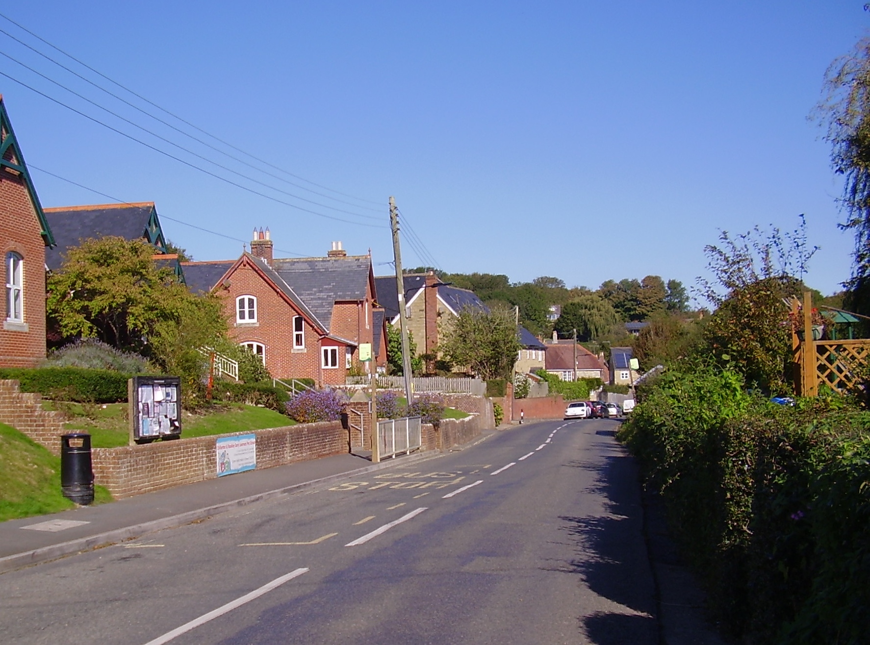
Lower Rill is a small village located in the county of Hampshire, England. Situated in the picturesque Test Valley, it is nestled amidst rolling hills and lush green countryside, offering a serene and idyllic setting for its residents. The village is part of the civil parish of Rillington and lies approximately 6 miles south of the bustling market town of Winchester.
Lower Rill is known for its charming rural character, with traditional thatched cottages, quaint country lanes, and beautiful gardens dotting the landscape. The village is home to a close-knit community, fostering a strong sense of camaraderie and neighborliness among its residents.
The village benefits from its proximity to the River Itchen, which meanders through the nearby meadows, providing opportunities for leisurely walks and fishing. The surrounding countryside offers various outdoor activities, including hiking, cycling, and horse riding, allowing residents to fully immerse themselves in the natural beauty of the area.
Though small in size, Lower Rill boasts a few amenities to cater to the needs of its inhabitants. These include a village hall, a local pub, and a small convenience store. For more extensive amenities, residents can easily access Winchester, which offers a wide range of shops, restaurants, schools, and healthcare facilities.
Lower Rill offers a peaceful and tranquil lifestyle, away from the hustle and bustle of city living. Its scenic beauty and strong community spirit make it a desirable place to live for those seeking a relaxed and close-knit community in the heart of Hampshire's countryside.
If you have any feedback on the listing, please let us know in the comments section below.
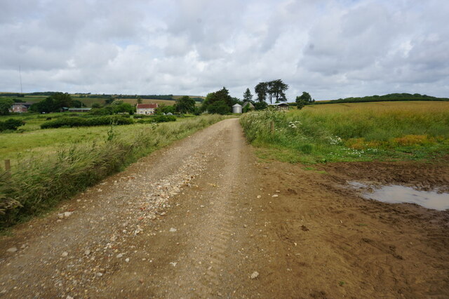
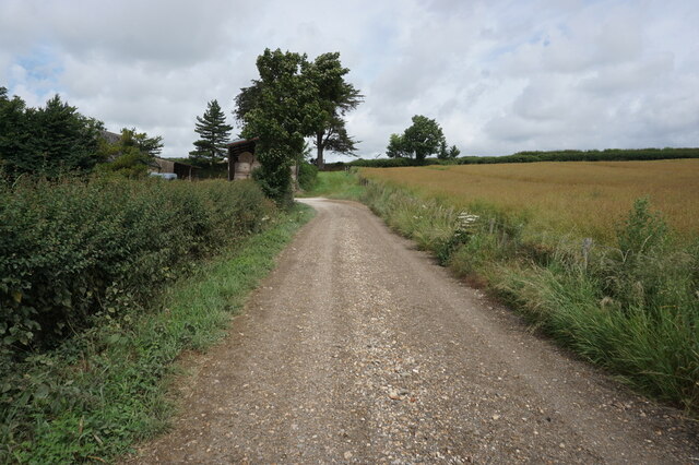
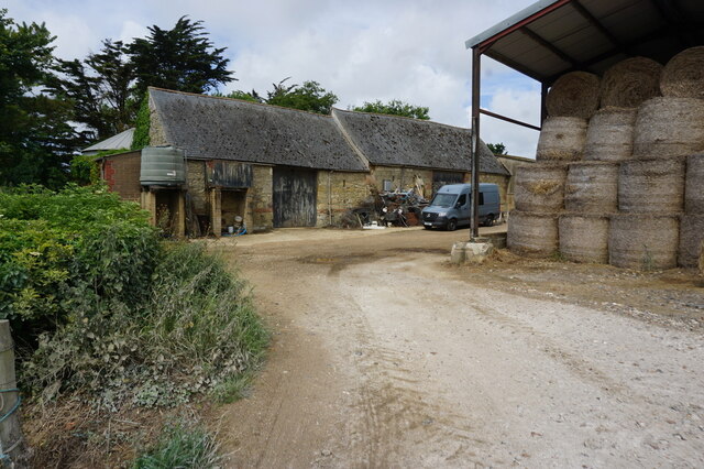
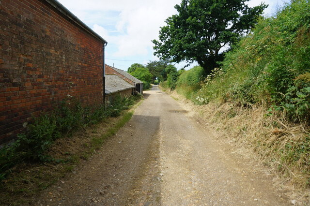
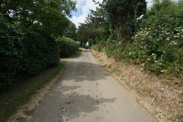
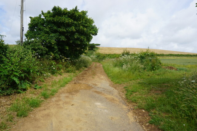
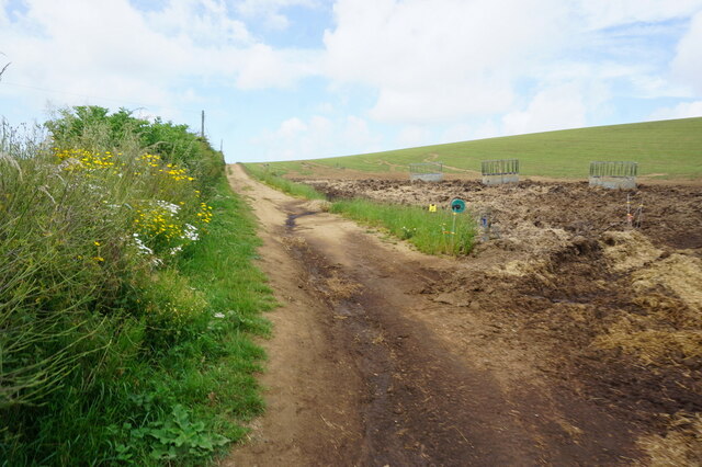
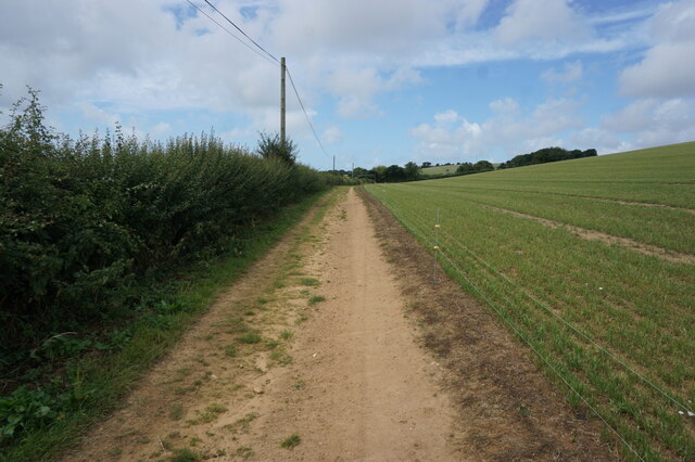
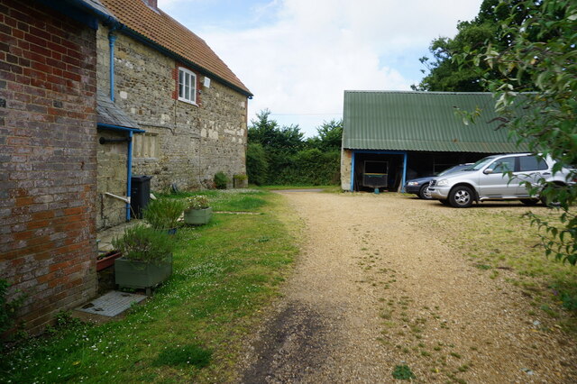
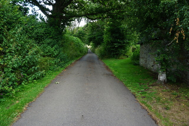
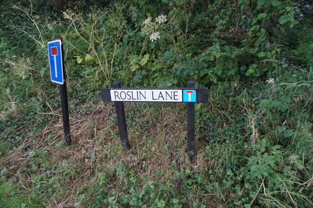
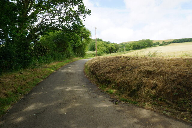
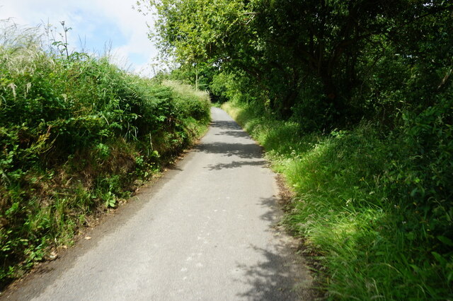
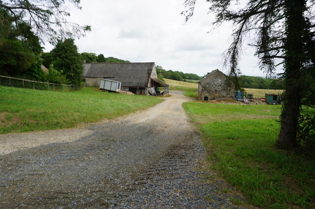
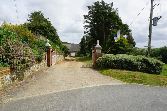
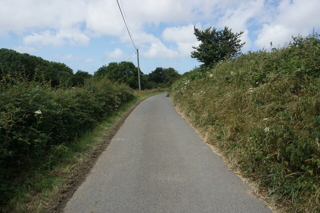
Lower Rill Images
Images are sourced within 2km of 50.645657/-1.3019573 or Grid Reference SZ4983. Thanks to Geograph Open Source API. All images are credited.

Lower Rill is located at Grid Ref: SZ4983 (Lat: 50.645657, Lng: -1.3019573)
Unitary Authority: Isle of Wight
Police Authority: Hampshire
What 3 Words
///horns.defrost.competent. Near Godshill, Isle of Wight
Nearby Locations
Related Wikis

Chillerton and Gatcombe
Chillerton and Gatcombe is a civil parish on the Isle of Wight, England, including the two villages of Chillerton and Gatcombe. It was previously the parish...
Chillerton
Chillerton is a village between Newport and Chale in the Isle of Wight in southern England. Chillerton is in the middle of a farming community. It is in...

Sheat Manor
Sheat Manor is a manor house in Chillerton, on the Isle of Wight, England. Considered to be one of the island's antiquities, Sheat manor house, is a fine...

Billingham Manor
Billingham Manor (or Billingham House) is a manor house lying about a mile south of the village of Chillerton on the Isle of Wight. The oldest part of...
Nearby Amenities
Located within 500m of 50.645657,-1.3019573Have you been to Lower Rill?
Leave your review of Lower Rill below (or comments, questions and feedback).