Lower Marlbrook
Settlement in Worcestershire Bromsgrove
England
Lower Marlbrook
Lower Marlbrook is a small village located in the county of Worcestershire, England. Situated in the picturesque Malvern Hills District, it is nestled amidst rolling countryside, offering residents and visitors a tranquil and idyllic setting.
The village is primarily residential, comprising a mix of traditional houses and newer developments. It has a close-knit community, with a population of around 1,000 residents. The village boasts a strong sense of community spirit, evident through various local events and activities organized throughout the year.
Lower Marlbrook benefits from its proximity to nearby towns and cities. Bromsgrove, the closest town, is just a short drive away and offers a range of amenities, including shops, supermarkets, schools, and healthcare facilities. The city of Worcester, renowned for its historical charm, is approximately 10 miles south-east of Lower Marlbrook, providing further opportunities for shopping, entertainment, and cultural experiences.
Nature enthusiasts will find plenty to enjoy in the surrounding area. The Malvern Hills, designated as an Area of Outstanding Natural Beauty, are a stone's throw away from the village. These ancient hills offer breathtaking views, walking trails, and opportunities for outdoor pursuits such as hiking, cycling, and horseback riding. Lower Marlbrook is also within easy reach of several country parks and nature reserves, providing residents with an abundance of green spaces to explore.
In conclusion, Lower Marlbrook is a charming village in Worcestershire, characterized by its peaceful setting, strong community spirit, and easy access to both rural and urban amenities.
If you have any feedback on the listing, please let us know in the comments section below.
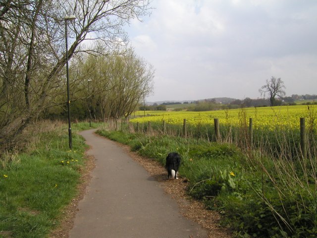
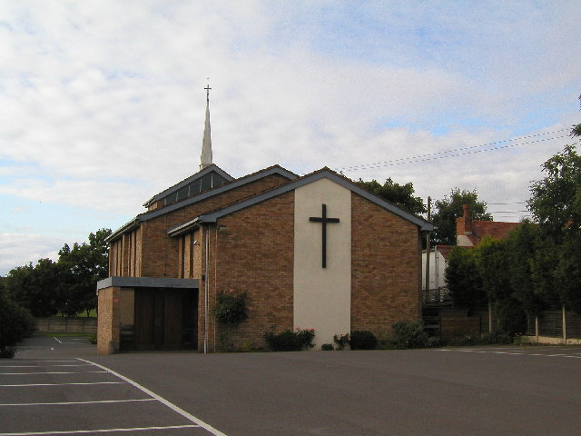
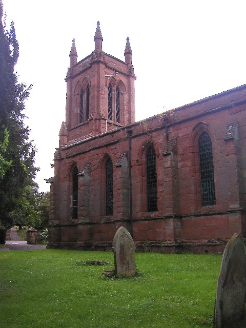
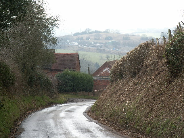
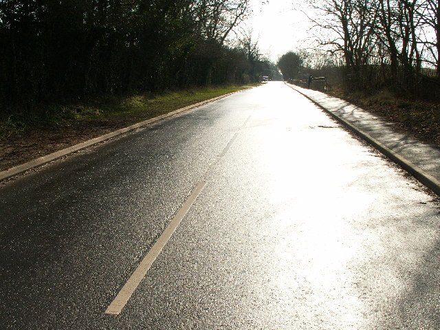
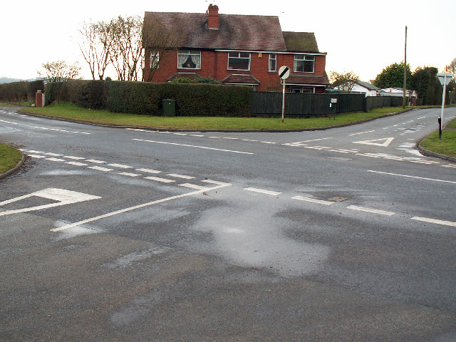
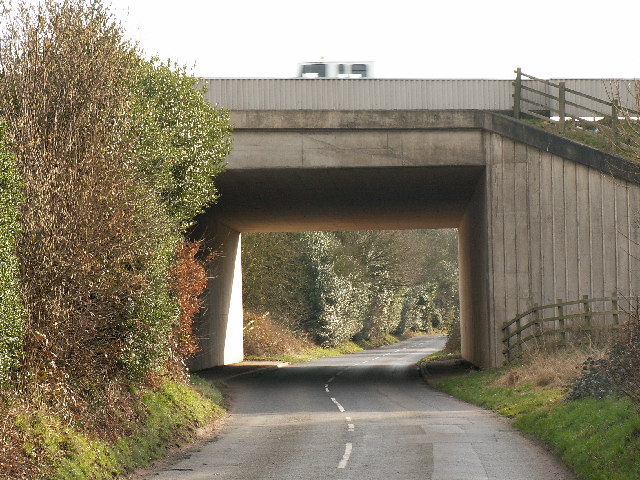
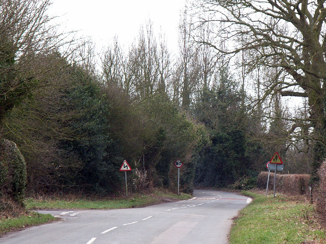
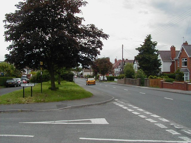
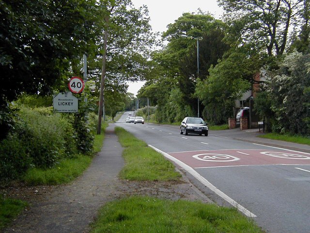
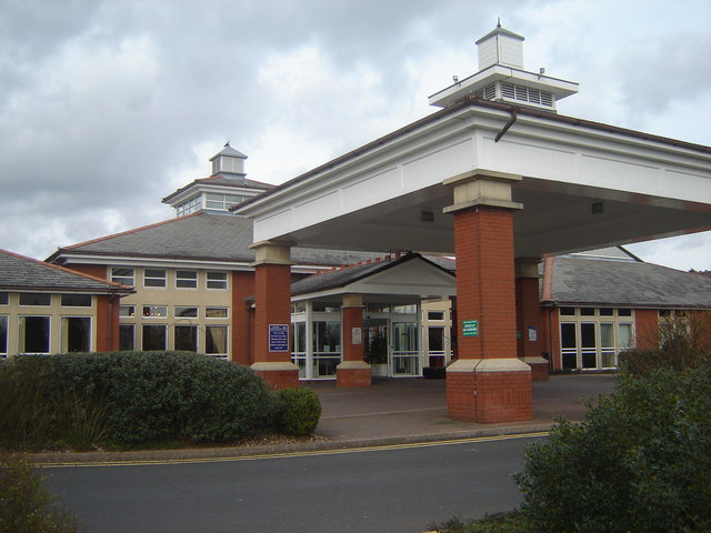
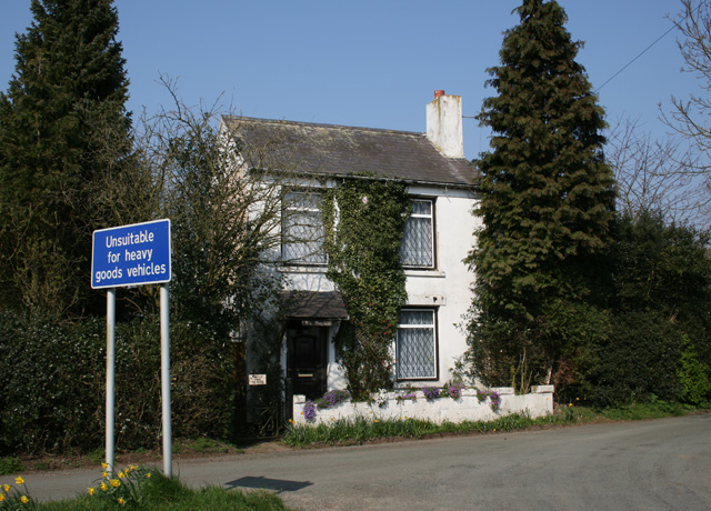
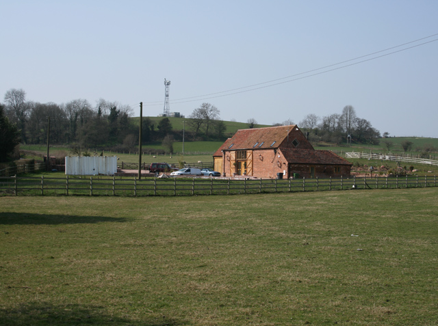
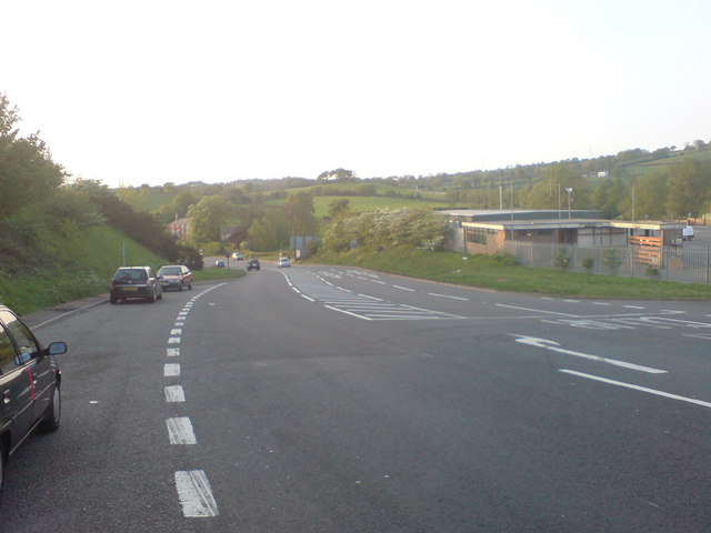
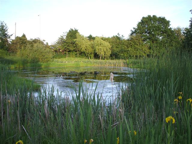
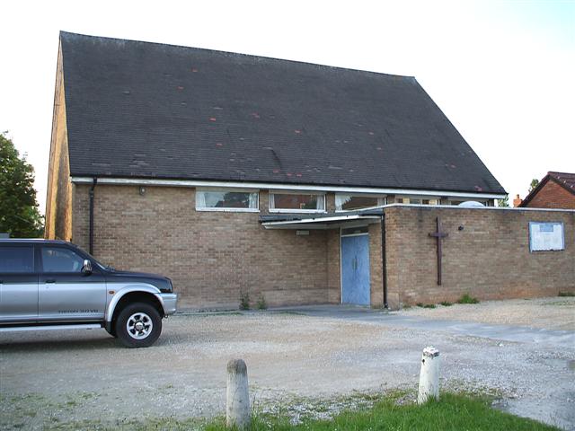
Lower Marlbrook Images
Images are sourced within 2km of 52.369879/-2.0458246 or Grid Reference SO9674. Thanks to Geograph Open Source API. All images are credited.

Lower Marlbrook is located at Grid Ref: SO9674 (Lat: 52.369879, Lng: -2.0458246)
Administrative County: Worcestershire
District: Bromsgrove
Police Authority: West Merica
What 3 Words
///sling.barn.sober. Near Barnt Green, Worcestershire
Nearby Locations
Related Wikis

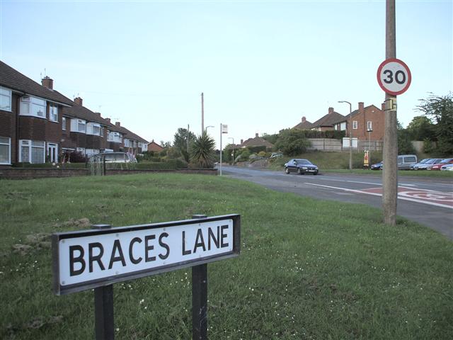
Marlbrook, Worcestershire
Marlbrook is a village in Worcestershire, England. It is located 3 miles north east of Bromsgrove, between Upper Catshill from which it is separated by...

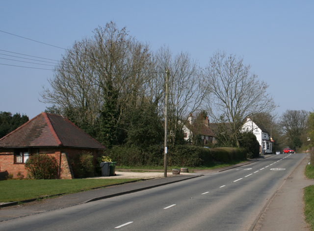
Lydiate Ash
Lydiate Ash is a hamlet in North Worcestershire, England, consisting of a few houses, the road gritting and works depot for Worcestershire County Council...

Catshill
Catshill is a village in Worcestershire about 2.5 miles north of Bromsgrove and 10 miles south-west of Birmingham. The parish of Catshill was formed around...
Lickey Grange
Lickey Grange is a Victorian house and estate in the village of Lickey, Bromsgrove District, Worcestershire, near Birmingham, England, where the automobile...
1997 M42 motorway crash
On 10 March 1997 a multiple-vehicle collision occurred on the M42 motorway near Bromsgrove, Worcestershire, in central England. Three people were killed...

Lickey End
Lickey End is a village in the Bromsgrove district of Worcestershire, England. It is situated just north of Bromsgrove, to the south-east of the junction...
Fairfield, Worcestershire
Fairfield is a village in the district of Bromsgrove, Worcestershire, England. It is in the civil parish of Belbroughton. The village of Fairfield and...
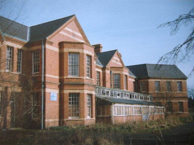
Barnsley Hall Hospital
Barnsley Hall Hospital was a psychiatric facility located in Bromsgrove, Worcestershire. == History == The hospital was based on a 324-acre (131 ha) site...
Nearby Amenities
Located within 500m of 52.369879,-2.0458246Have you been to Lower Marlbrook?
Leave your review of Lower Marlbrook below (or comments, questions and feedback).