Lower Ley
Settlement in Gloucestershire Forest of Dean
England
Lower Ley
Lower Ley is a small village located in the county of Gloucestershire, England. Situated in the picturesque Cotswolds region, it is surrounded by rolling hills and lush green countryside. The village is part of the Stroud district and falls within the civil parish of Painswick.
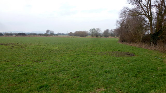
With a population of around 200 residents, Lower Ley exudes a tranquil and close-knit community atmosphere. The village is known for its charming rural character and traditional Cotswold stone cottages, which add to its aesthetic appeal. The local architecture is reflective of the region's rich history and heritage.
Lower Ley benefits from its proximity to neighboring towns and villages. The nearby town of Painswick is only a mile away, providing access to essential amenities such as shops, schools, and medical facilities. The village is well-connected by road, with the A46 running to the east, connecting it to larger towns such as Stroud and Cheltenham.
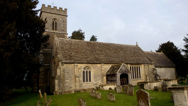
The surrounding countryside offers ample opportunities for outdoor activities and exploration. Residents and visitors can enjoy leisurely walks along scenic footpaths, taking in the natural beauty of the Cotswolds. The area is also known for its historic landmarks, including the picturesque Painswick Rococo Garden and the medieval Painswick Church with its striking spire.
Overall, Lower Ley in Gloucestershire offers a peaceful and idyllic setting, making it an attractive place for those seeking a tranquil countryside lifestyle.
If you have any feedback on the listing, please let us know in the comments section below.
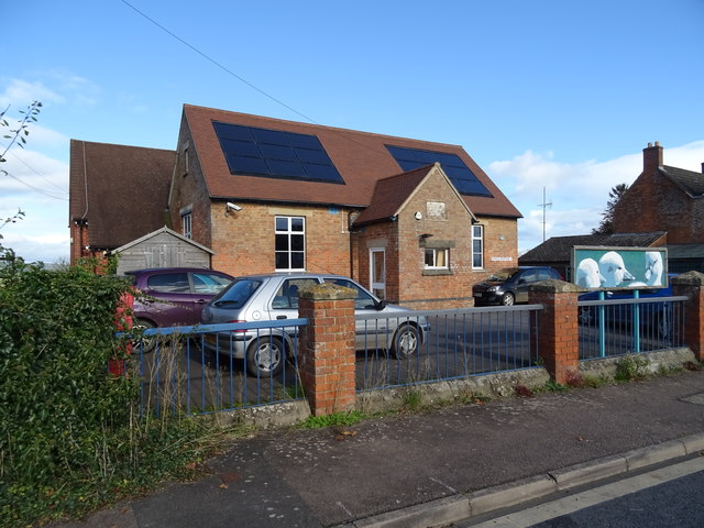
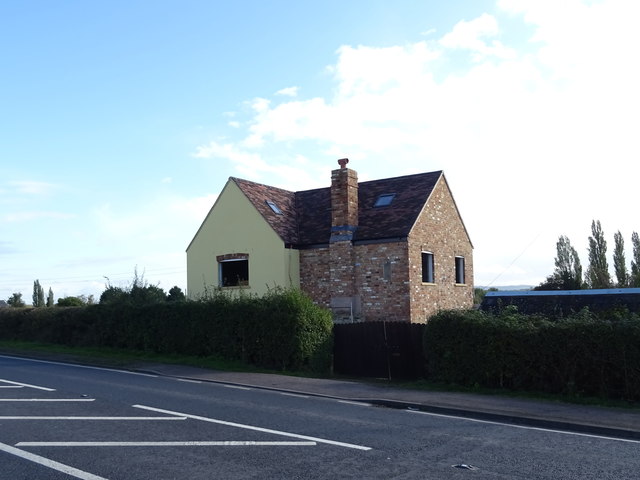
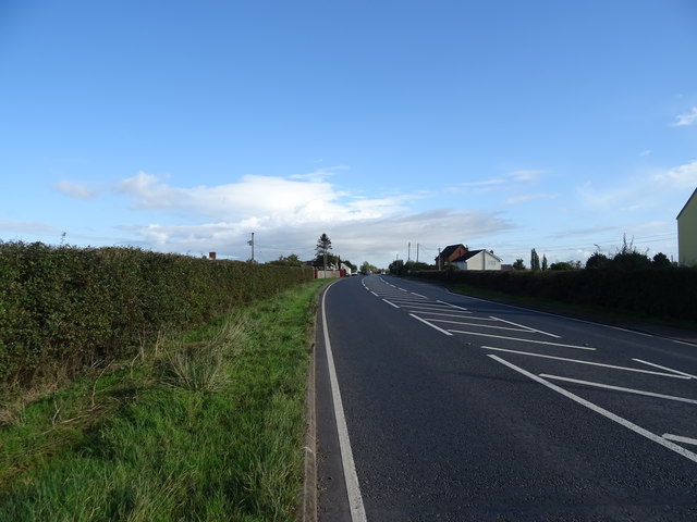
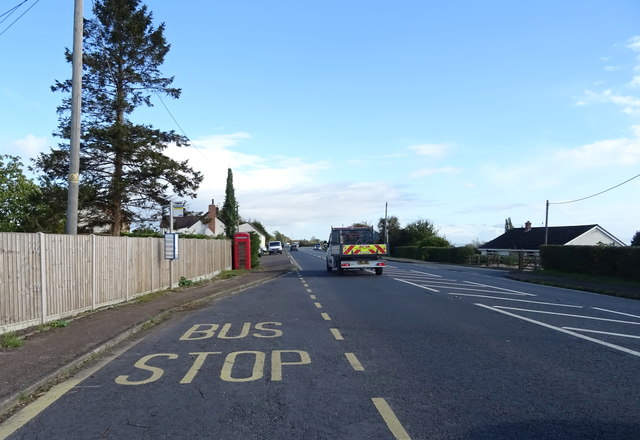
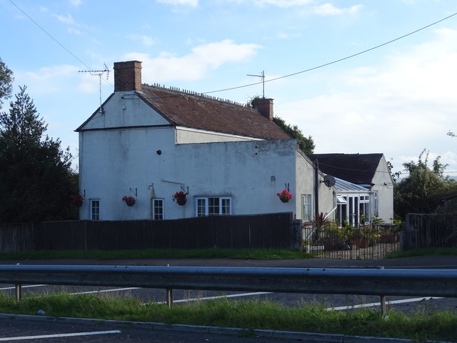
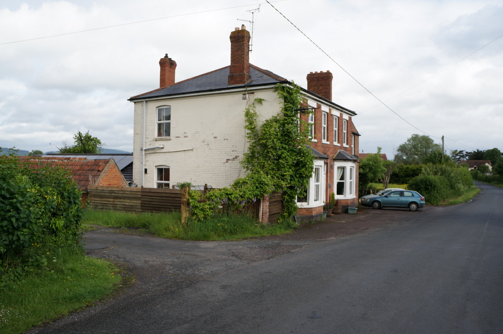
Lower Ley Images
Images are sourced within 2km of 51.843294/-2.3622888 or Grid Reference SO7516. Thanks to Geograph Open Source API. All images are credited.


Lower Ley is located at Grid Ref: SO7516 (Lat: 51.843294, Lng: -2.3622888)
Administrative County: Gloucestershire
District: Forest of Dean
Police Authority: Gloucestershire
What 3 Words
///extension.moving.barbarian. Near Huntley, Gloucestershire
Nearby Locations
Related Wikis
Oakle Street
Oakle Street is a village in Gloucestershire, England. == External links == Media related to Oakle Street at Wikimedia Commons Churcham Village Website...

Walmore Common
Walmore Common (grid reference SO740162 & grid reference SO745150) is a 57.78-hectare (142.8-acre) nature reserve on the flood-plain of the River Severn...

Oakle Street railway station
Oakle Street railway station served the village of Oakle Street, Gloucestershire, England from 1851 to 1964 on the Gloucester-Newport line. == History... ==

Severn bore
The Severn bore is a tidal bore seen on the tidal reaches of the River Severn in south western England. It is formed when the rising tide moves into the...

Minsterworth
Minsterworth is a village in Gloucestershire, England. It lies on the border of the City of Gloucester, on the north bank of the River Severn (effectively...

Grange Court railway station
Grange Court railway station was a junction station on the South Wales Railway in Gloucestershire (on the present day Gloucester to Newport Line) where...

Churcham
Churcham is a small village and civil parish in the Forest of Dean District of Gloucestershire in England, located 4 miles (6.4 km) west of Gloucester...

Huntley, Gloucestershire
Huntley, Gloucestershire, is a village on the A40 located seven miles (11 km) west of Gloucester. It is in the north of the Forest of Dean. == History... ==
Nearby Amenities
Located within 500m of 51.843294,-2.3622888Have you been to Lower Ley?
Leave your review of Lower Ley below (or comments, questions and feedback).