Lower Heath

Settlement in Worcestershire Wyre Forest

England

Lower Heath

Fishing lake at Larford Farm This is the southern end of a large fishing lake at Larford Farm. Below the dark bank in the background is the River Severn
Fishing lake at Larford Farm Credit: Philip Halling

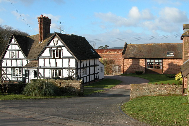
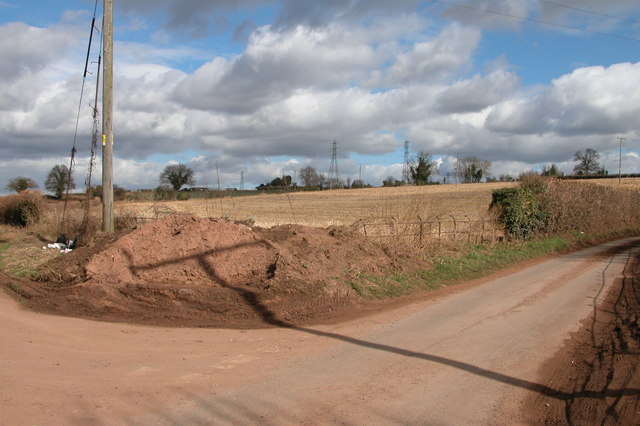
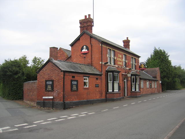
Lower Heath is a small village located in Worcestershire, England. Situated near the town of Kidderminster, Lower Heath is a rural community surrounded by picturesque countryside and farmland. The village is known for its quaint cottages and traditional English charm.

Lower Heath has a close-knit community, with a village hall that serves as a hub for local events and gatherings. The village also has a primary school, providing education for the children in the area.

The surrounding area offers plenty of opportunities for outdoor activities, such as walking, cycling, and horseback riding. The nearby Wyre Forest offers miles of woodland trails for nature enthusiasts to explore.

Despite its rural setting, Lower Heath is conveniently located within easy reach of larger towns and cities. The town of Kidderminster is just a short drive away, offering a range of amenities including shops, restaurants, and leisure facilities.

Overall, Lower Heath is a peaceful and charming village, ideal for those seeking a quiet rural retreat in the heart of the Worcestershire countryside.

If you have any feedback on the listing, please let us know in the comments section below.
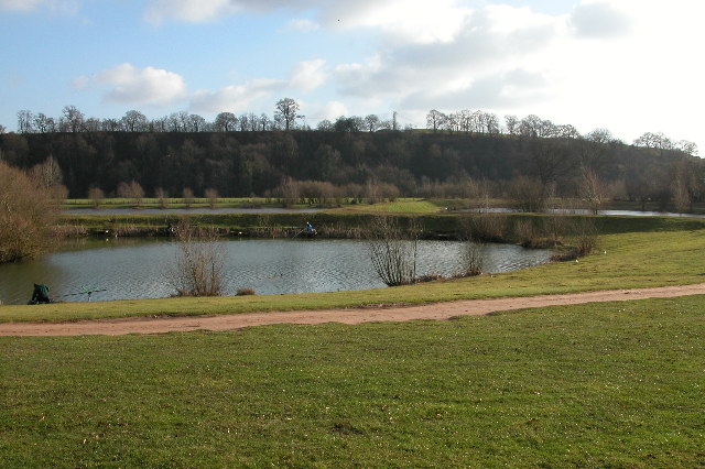
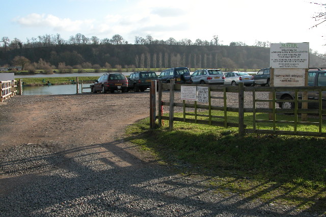
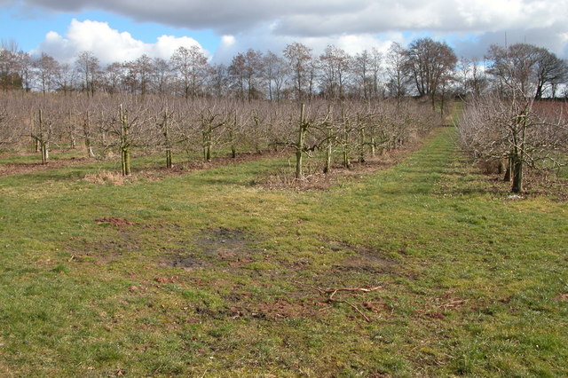
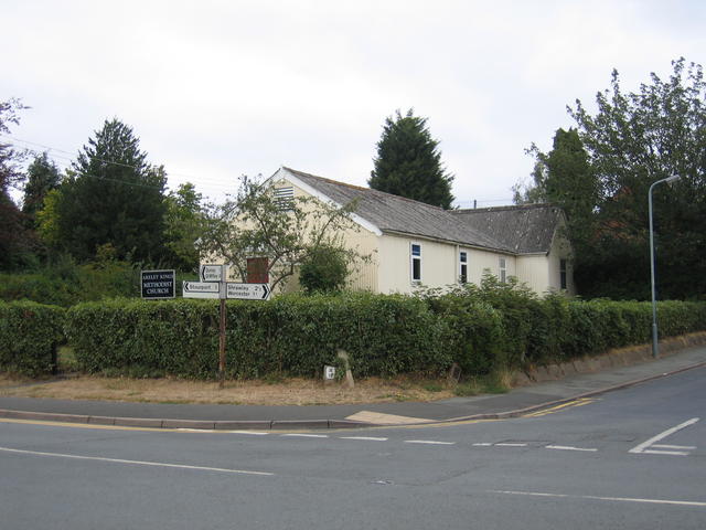
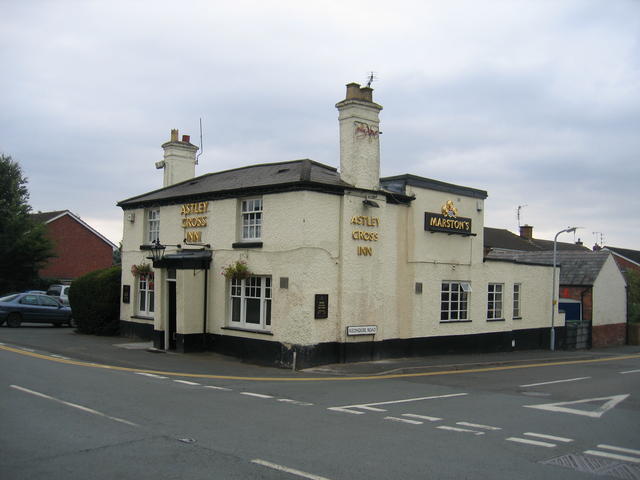
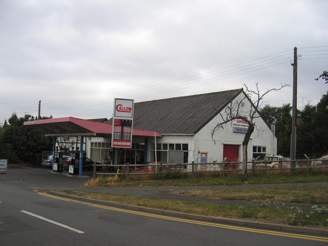
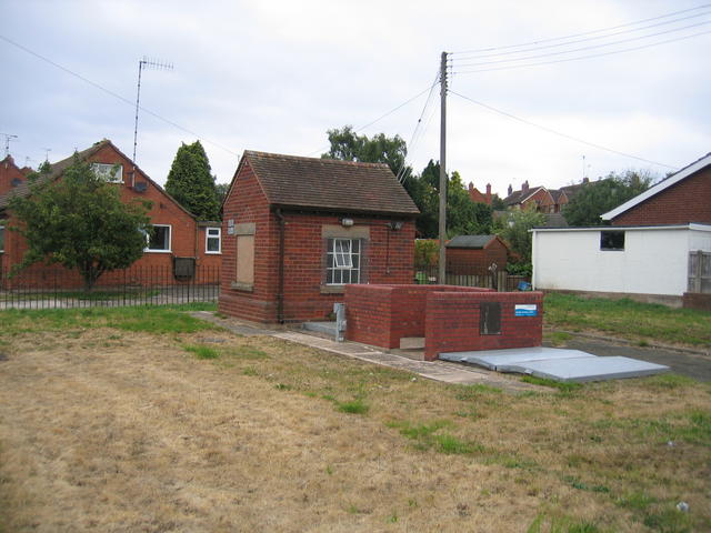
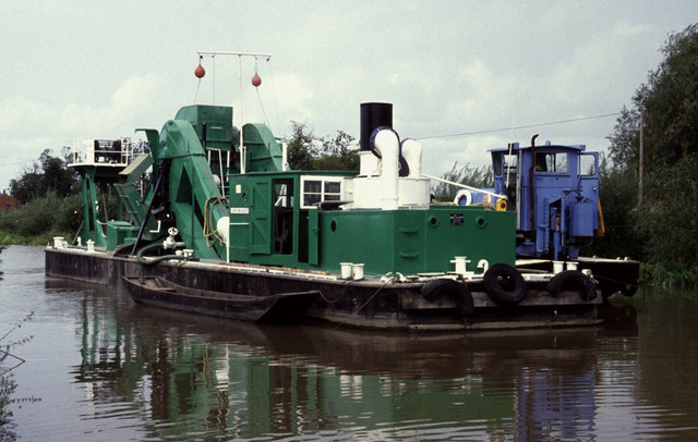
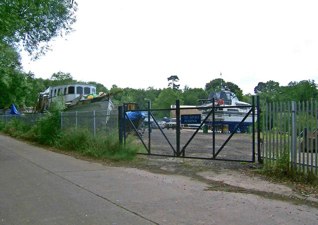
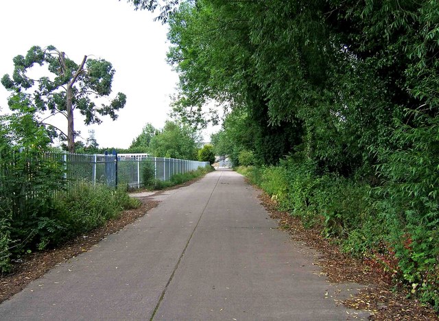
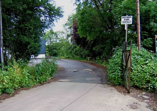
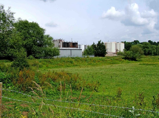
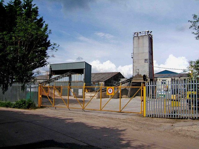
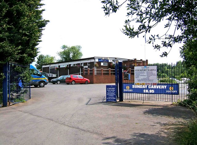
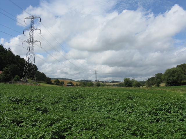
Lower Heath Images

Images are sourced within 2km of 52.330358/-2.2688634 or Grid Reference SO8170. Thanks to Geograph Open Source API. All images are credited.

Fishing lake at Larford Farm This is the southern end of a large fishing lake at Larford Farm. Below the dark bank in the background is the River Severn
Fishing lake at Larford Farm
This is the southern end of a large fishing lake at Larford Farm. Below the dark bank in the background is the River Severn
Fishing lake at Larford Farm Popular fishing lake to the south of Stourport-on-Severn.
Fishing lake at Larford Farm
Popular fishing lake to the south of Stourport-on-Severn.
Longmore Hill Farm Like many farms this farm to the south of Stourport-on-Severn has been converted into residential accommodation.
Longmore Hill Farm
Like many farms this farm to the south of Stourport-on-Severn has been converted into residential accommodation.
Orchard on Lincomb Lane, Lincomb
Parsons Lane and Crown Lane crossroads, near Crossway Green
Areley Kings Methodist Church This tin tabernacle is on the NE corner of Astley Cross on the southern edge of what is now the Areley Kings area of Stourport.  At one time Areley Kings would have been a significant village in its own right.

This church is situated diagonally opposite <a href="https://www.geograph.org.uk/photo/218686">SO8069 : The Astley Cross Inn</a> at this crossroads.
Areley Kings Methodist Church
This tin tabernacle is on the NE corner of Astley Cross on the southern edge of what is now the Areley Kings area of Stourport. At one time Areley Kings would have been a significant village in its own right. This church is situated diagonally opposite SO8069 : The Astley Cross Inn at this crossroads.
The Astley Cross Inn I'm not sure whether the builder had been imbibing when this pub was built or whether is as a result of subsequent subsidence that nothing appears to be quite perpendicular or at right angles on this building.  It's certainly not my camera!

This pub is situated on the opposite corner of Astley Cross to <a href="https://www.geograph.org.uk/photo/218568">SO8069 : Areley Kings Methodist Church</a>.
The Astley Cross Inn
I'm not sure whether the builder had been imbibing when this pub was built or whether is as a result of subsequent subsidence that nothing appears to be quite perpendicular or at right angles on this building. It's certainly not my camera! This pub is situated on the opposite corner of Astley Cross to SO8069 : Areley Kings Methodist Church.
Astley Cross garage A rare survivor these days - situated near the NW corner of Astley Cross is this independent garage and petrol filling station.
Astley Cross garage
A rare survivor these days - situated near the NW corner of Astley Cross is this independent garage and petrol filling station.
The King's Arms A good traditional solid looking brick built pub right in the western edge of the square at the junction with Kings Arms lane.
The King's Arms
A good traditional solid looking brick built pub right in the western edge of the square at the junction with Kings Arms lane.
Sewage pumping station Situated beside the road approaching Astley Cross from the west.
Sewage pumping station
Situated beside the road approaching Astley Cross from the west.
Steam ladder dredger John Bradley, Lincomb Lock, Stourport Now sadly retired and without her plant. She was in full cry when this photo was taken and we were just waiting for a boat ride across to her.
Steam ladder dredger John Bradley, Lincomb Lock, Stourport
Now sadly retired and without her plant. She was in full cry when this photo was taken and we were just waiting for a boat ride across to her.
Entrance to Stourport Marina, Nelson Road, Stourport-on-Severn This is one of the entrances to the large Stourport Marina. The Marina is adjacent to and connected to the River Severn.
Entrance to Stourport Marina, Nelson Road, Stourport-on-Severn
This is one of the entrances to the large Stourport Marina. The Marina is adjacent to and connected to the River Severn.
Nelson Road, Stourport-on-Severn This is part of Nelson Road. On the left, behind the metal railings, is Stourport Marina. <a href="https://www.geograph.org.uk/photo/1373705">SO8169 : Entrance to Stourport Marina, Nelson Road, Stourport-on-Severn</a>. Apart from giving access to the marina, Nelson Road serves as one of the main roads through a dreary industrial estate, near the River Severn, and tucked well away from the main part of the town. There is little point in coming down here unless you have specific business with one of the firms based on the estate.
Nelson Road, Stourport-on-Severn
This is part of Nelson Road. On the left, behind the metal railings, is Stourport Marina. SO8169 : Entrance to Stourport Marina, Nelson Road, Stourport-on-Severn. Apart from giving access to the marina, Nelson Road serves as one of the main roads through a dreary industrial estate, near the River Severn, and tucked well away from the main part of the town. There is little point in coming down here unless you have specific business with one of the firms based on the estate.
Start of private road to Lincomb Lock on the River Severn At the end of Nelson Road, on the Sandy Lane Industrial Estate, this private road commences and gives authorised vehicles access to Lincomb Lock. The lock is the highest on the River Severn; the official head of navigation being just upstream of Stourport Bridge.
Start of private road to Lincomb Lock on the River Severn
At the end of Nelson Road, on the Sandy Lane Industrial Estate, this private road commences and gives authorised vehicles access to Lincomb Lock. The lock is the highest on the River Severn; the official head of navigation being just upstream of Stourport Bridge.
Urban fringe seen from Nelson Road, Stourport-on-Severn The industrial structures are on the very edge of Sandy Lane Industrial Estate. Viewed from across the field adjacent to part of Nelson Road.
Urban fringe seen from Nelson Road, Stourport-on-Severn
The industrial structures are on the very edge of Sandy Lane Industrial Estate. Viewed from across the field adjacent to part of Nelson Road.
Industrial buildings in Nelson Road, Stourport-on-Severn These buildings are in Nelson Road, which is part of the Sandy Lane Industrial Estate. This is one of the parts of Stourport that tourists don't normally visit.
Industrial buildings in Nelson Road, Stourport-on-Severn
These buildings are in Nelson Road, which is part of the Sandy Lane Industrial Estate. This is one of the parts of Stourport that tourists don't normally visit.
Stourport Marina Clubhouse, Nelson Road, Stourport-on-Severn The Marina's Clubhouse and restaurant is open to visitors as well as members, and is licensed. The signs proclaim the lunchtime Sunday Carvery, but you would have to know this place exists, as "passing trade" would be virtually non-existent. These premises are right at the far end of the Sandy Lane Industrial Estate. Another entrance to the marina itself is at: <a href="https://www.geograph.org.uk/photo/1373705">SO8169 : Entrance to Stourport Marina, Nelson Road, Stourport-on-Severn</a>.
Stourport Marina Clubhouse, Nelson Road, Stourport-on-Severn
The Marina's Clubhouse and restaurant is open to visitors as well as members, and is licensed. The signs proclaim the lunchtime Sunday Carvery, but you would have to know this place exists, as "passing trade" would be virtually non-existent. These premises are right at the far end of the Sandy Lane Industrial Estate. Another entrance to the marina itself is at: SO8169 : Entrance to Stourport Marina, Nelson Road, Stourport-on-Severn.
Pylons Heading West
Pylons Heading West
Show me another place!

Lower Heath is located at Grid Ref: SO8170 (Lat: 52.330358, Lng: -2.2688634)

Administrative County: Worcestershire

District: Wyre Forest

Police Authority: West Merica

What 3 Words

///newlywed.tonality.unclaimed. Near Stourport-on-Severn, Worcestershire

Nearby Locations

Lower Heath

Related Wikis

Stourport power stations

Stourport power stations were two electricity generating stations that supplied electricity to Stourport-on-Severn, Worcestershire and to the wider West...

River Stour, Worcestershire

The Stour (, rhymes with "flour") is a river flowing through the counties of Worcestershire, the West Midlands and Staffordshire in the West Midlands region...

Hartlebury Common

Hartlebury Common is an area of lowland heath in north Worcestershire, England, situated just outside the town of Stourport-on-Severn. Hartlebury Common...

Stourport Swifts F.C.

Stourport Swifts Football Club are a football team from Stourport-on-Severn, and one of the oldest non-league teams in the country. The Swifts currently...

Nearby Amenities

Located within 500m of 52.330358,-2.2688634
Bus Stop
Sandy Lane
Bus: yes
Naptan AtcoCode: 2000G056300
Naptan Bearing: SE
Naptan CommonName: Sandy Lane
Naptan Crossing: Sandy Lane
Naptan Indicator: opp
Naptan Landmark: Titton Stores
Naptan NaptanCode: wocgmgjw
Naptan PlusbusZoneRef: KDRMNST
Naptan Street: Worcester Road
Naptan Verified: no
Public Transport: platform
Source: naptan_import
Lat/Long: 52.3301094/-2.2624278
Bus Stop
Sandy Lane
Bus: yes
Naptan AtcoCode: 2000G056301
Naptan Bearing: NW
Naptan CommonName: Sandy Lane
Naptan Crossing: Sandy Lane
Naptan Indicator: Adj
Naptan NaptanCode: wocgmgma
Naptan PlusbusZoneRef: KDRMNST
Naptan Street: Worcester Road
Naptan Verified: no
Public Transport: platform
Source: naptan_import
Lat/Long: 52.3301177/-2.2627654
Bus Stop
Cooks Gdn Cen (Stourport)- Worcester Rd
Bus: yes
Naptan AtcoCode: 2000G195900
Naptan Bearing: SE
Naptan CommonName: Cooks Gdn Cen (Stourport)- Worcester Rd
Naptan Indicator: Adj
Naptan Landmark: Cooks Garden Centre
Naptan NaptanCode: wocdpjaw
Naptan PlusbusZoneRef: KDRMNST
Naptan Street: Worcester Road
Naptan Verified: no
Public Transport: platform
Source: naptan_import
Lat/Long: 52.3344132/-2.2674448
Source: survey
Waterway: boatyard
Lat/Long: 52.3271487/-2.2711704
Power: tower
Source: Bing
Lat/Long: 52.3315178/-2.2635893
Power: tower
Source: Bing
Lat/Long: 52.3318242/-2.2682138
Location Transition: yes
Power: tower
Source: Bing
Lat/Long: 52.3333666/-2.271966
Location Transition: yes
Power: tower
Source: Bing
Lat/Long: 52.3312057/-2.2634555
Stourport Marina
Leisure: marina
Seamark Harbour Category: marina
Seamark Type: harbour
Lat/Long: 52.3271377/-2.2682186
Barrier: kissing_gate
Lat/Long: 52.3312231/-2.2721793
Stourport Marina
Leisure: marina
Seamark Harbour Category: marina
Seamark Type: harbour
Lat/Long: 52.3265776/-2.2688913
cliff top
Landuse: military
Military: danger_area
Lat/Long: 52.3271344/-2.2727805
Marker: aerial
Operator: CLH
Operator Old: GPSS
Ref GPSS: 16047
Source: survey
Utility: oil
Lat/Long: 52.3296733/-2.26181
Entrance: exit
Lat/Long: 52.3285515/-2.2658721
Post Box
Lat/Long: 52.3293033/-2.2652234
Entrance: main
Lat/Long: 52.3285663/-2.2658416
Bench
Backrest: no
Lat/Long: 52.3284725/-2.2740775
Generator Method: photovoltaic
Generator Output Electricity: yes
Generator Source: solar
Generator Type: solar_photovoltaic_panel
Location: roof
Power: generator
Lat/Long: 52.3340394/-2.2720403
Generator Method: photovoltaic
Generator Output Electricity: yes
Generator Source: solar
Generator Type: solar_photovoltaic_panel
Location: roof
Power: generator
Lat/Long: 52.3338116/-2.2726867
Generator Method: photovoltaic
Generator Output Electricity: yes
Generator Source: solar
Generator Type: solar_photovoltaic_panel
Location: roof
Power: generator
Lat/Long: 52.3337312/-2.2729227
Generator Method: photovoltaic
Generator Output Electricity: yes
Generator Source: solar
Generator Type: solar_photovoltaic_panel
Location: roof
Power: generator
Lat/Long: 52.3336739/-2.27314
Marker: pedestal
Operator: CLH
Operator Old: GPSS
Ref: CP 1722
Source: survey
Utility: oil
Lat/Long: 52.3296678/-2.2618093
Marker: post
Operator: CLH
Operator Old: GPSS
Ref GPSS: 19725
Source: survey
Utility: oil
Lat/Long: 52.3296706/-2.2618102
Shop: agrarian
Lat/Long: 52.3291188/-2.2658538
ETB
Shop: car_repair
Lat/Long: 52.3293011/-2.2645213
ETB
Shop: car_repair
Lat/Long: 52.3300493/-2.265506
Lower Heath
Place: neighbourhood
Lat/Long: 52.3314055/-2.2696012
The data included in this document is from www.openstreetmap.org. The data is made available under ODbL.

Have you been to Lower Heath?

Leave your review of Lower Heath below (or comments, questions and feedback).