Lower Hamstead

Settlement in Hampshire

England

Lower Hamstead

Mooring Ropes, Newtown Harbour A line of moorings along the quay use this rope and pulley device so that boats can be moored away from the quayside, but easily pulled up to it when needed.
Mooring Ropes, Newtown Harbour Credit: Des Blenkinsopp

Lower Hamstead is a small village located in the county of Hampshire, England. Situated in the South Downs National Park, it is nestled in a picturesque countryside setting, offering residents and visitors a tranquil and scenic environment.

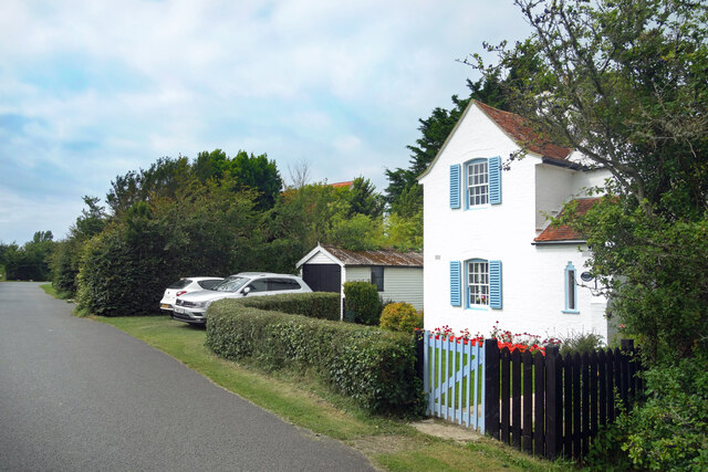
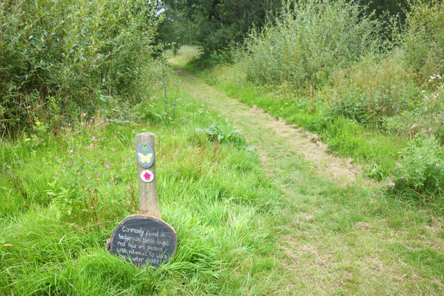
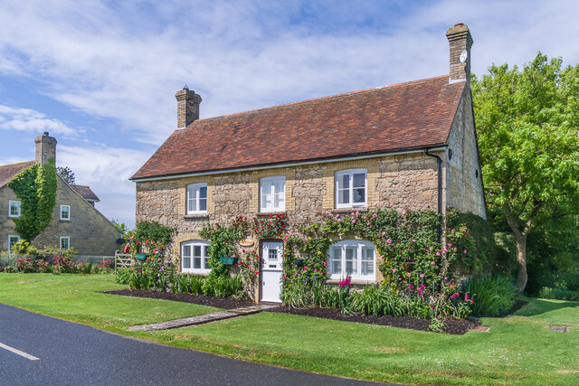
The village itself is home to approximately 500 inhabitants and is characterized by its charming rural atmosphere. The architecture of Lower Hamstead predominantly consists of traditional cottages and farmhouses, giving it a timeless and idyllic feel. The village is surrounded by rolling hills, green fields, and dense woodlands, providing ample opportunities for outdoor activities such as hiking, cycling, and horseback riding.

Despite its rural nature, Lower Hamstead benefits from its proximity to nearby towns and amenities. The village is situated just a short drive away from the market town of Petersfield, which offers a range of shops, restaurants, and leisure facilities. Additionally, the city of Portsmouth is within easy reach, providing residents with access to a wider range of amenities including shopping centers, cultural attractions, and transport links.

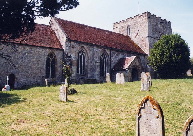
Lower Hamstead is also known for its strong sense of community. The village hosts various events and activities throughout the year, including a summer fete, village fairs, and local sports tournaments. The community is supported by a primary school, a church, and a village hall, which serve as central meeting places for residents.

In conclusion, Lower Hamstead is a charming and picturesque village in Hampshire, offering a peaceful and rural lifestyle with easy access to nearby towns and amenities. With its strong community spirit and beautiful surroundings, it is an ideal place for those seeking a slower pace of life in a quintessential English village.

If you have any feedback on the listing, please let us know in the comments section below.

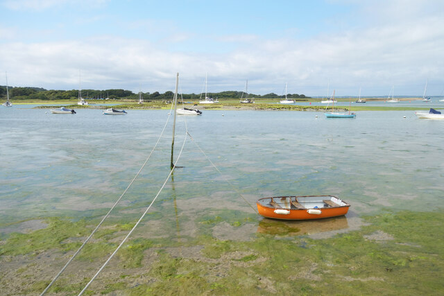
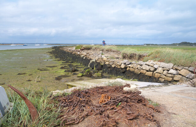
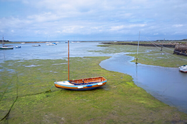
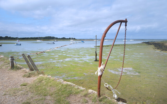
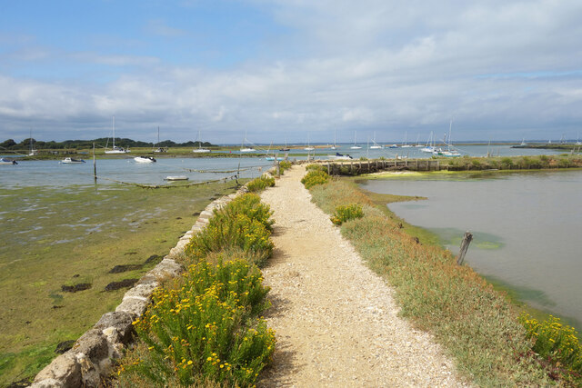
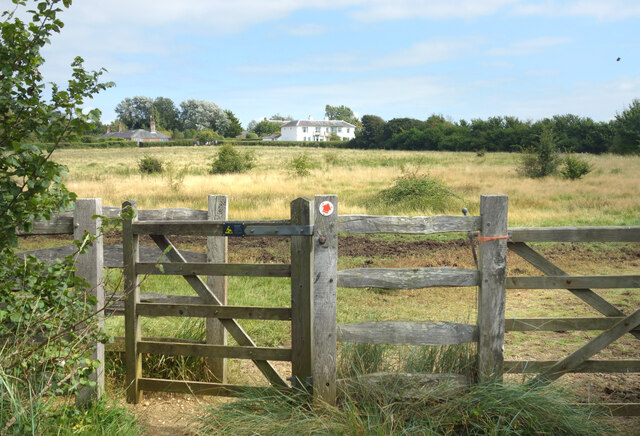
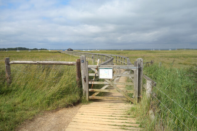
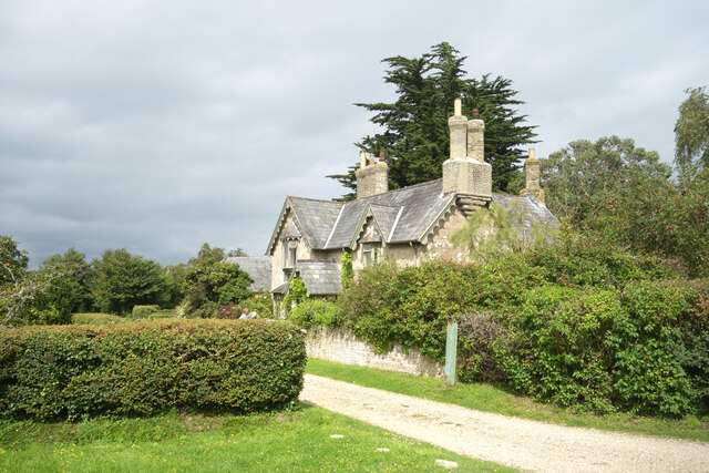
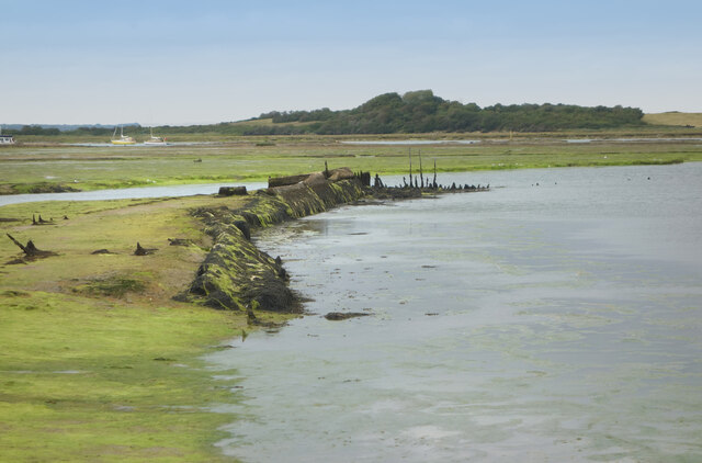
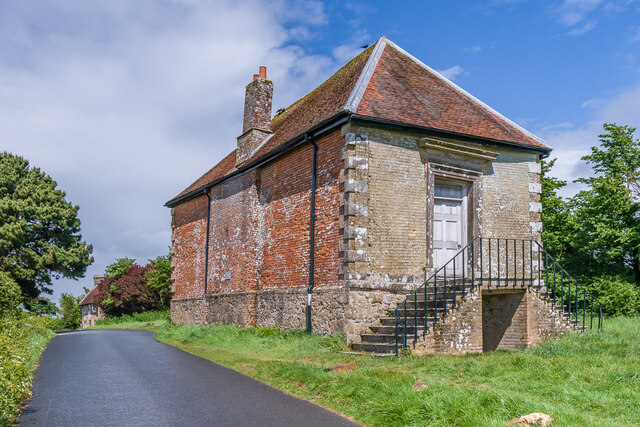
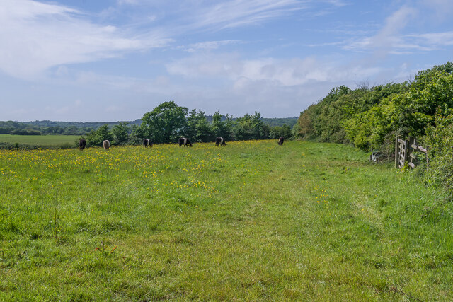
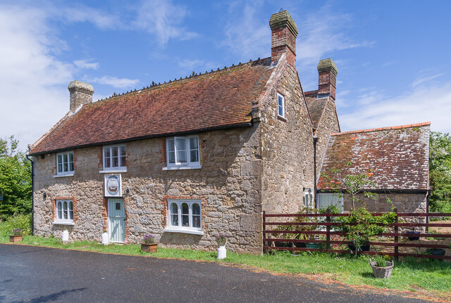
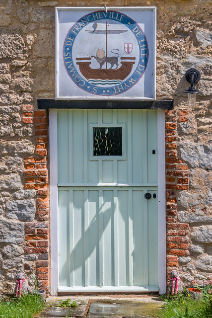
Lower Hamstead Images

Images are sourced within 2km of 50.715998/-1.4180834 or Grid Reference SZ4190. Thanks to Geograph Open Source API. All images are credited.

Mooring Ropes, Newtown Harbour A line of moorings along the quay use this rope and pulley device so that boats can be moored away from the quayside, but easily pulled up to it when needed.
Mooring Ropes, Newtown Harbour
A line of moorings along the quay use this rope and pulley device so that boats can be moored away from the quayside, but easily pulled up to it when needed.
Old Chains by the Slipway What looks like an old anchor and chain rusting away on the quayside.
The causeway beyond is shown as a public footpath, which it may still be if you fancy getting muddy. 
Ms Blenkinsopp is standing about as far as you can get without wellies.
Old Chains by the Slipway
What looks like an old anchor and chain rusting away on the quayside. The causeway beyond is shown as a public footpath, which it may still be if you fancy getting muddy. Ms Blenkinsopp is standing about as far as you can get without wellies.
In the mud at low tide A neat small boat sitting in the mud at Newtown Quay.
The mooring ropes are not in such good condition. Seriously slimy.
In the mud at low tide
A neat small boat sitting in the mud at Newtown Quay. The mooring ropes are not in such good condition. Seriously slimy.
Newtown Quay Newtown was a busy port in medieval times. Now the town is reduced to a few houses and the quay is the quiet home of a few small boats.
Newtown Quay
Newtown was a busy port in medieval times. Now the town is reduced to a few houses and the quay is the quiet home of a few small boats.
Levee round a Brine Pond Salt was made here for centuries up to the 1930s. The water on the right is in a pond where sea water was stored and partly evaporated before the brine was boiled to extract the salt crystals.
See this National Trust page for more details and some old pictures. <span class="nowrap"><a title="https://www.nationaltrust.org.uk/newtown-national-nature-reserve/features/the-salt-industry-at-newtown" rel="nofollow ugc noopener" href="https://www.nationaltrust.org.uk/newtown-national-nature-reserve/features/the-salt-industry-at-newtown">Link</a><img style="margin-left:2px;" alt="External link" title="External link - shift click to open in new window" src="https://s1.geograph.org.uk/img/external.png" width="10" height="10"/></span>
Levee round a Brine Pond
Salt was made here for centuries up to the 1930s. The water on the right is in a pond where sea water was stored and partly evaporated before the brine was boiled to extract the salt crystals. See this National Trust page for more details and some old pictures. LinkExternal link
Path back to Newtown The end of a short but interesting circular walk along a causeway to Newtown Quay and around the old salt ponds.
Path back to Newtown
The end of a short but interesting circular walk along a causeway to Newtown Quay and around the old salt ponds.
Gate onto the Causeway The start of a long boardwalk over the marsh out to Newtown Quay by the black hut in the distance.
Gate onto the Causeway
The start of a long boardwalk over the marsh out to Newtown Quay by the black hut in the distance.
House in Newtown Once a thriving port town in the middle ages, Newtown has now shrunk to a village of around twenty houses. This is one of them.
House in Newtown
Once a thriving port town in the middle ages, Newtown has now shrunk to a village of around twenty houses. This is one of them.
The Cottage, Newtown
Newtown, Old Town Hall The Old Town Hall, from when Newtown was a thriving port and subsequently from when it was a "rotten borough" still sending an MP to parliament even though only a few dozen residents were left here to elect him.
This is an old picture from an album, date not exact. The weather was a bit iffy this time, so I retrieved a sunnier one from a previous visit.
Newtown, Old Town Hall
The Old Town Hall, from when Newtown was a thriving port and subsequently from when it was a "rotten borough" still sending an MP to parliament even though only a few dozen residents were left here to elect him. This is an old picture from an album, date not exact. The weather was a bit iffy this time, so I retrieved a sunnier one from a previous visit.
Nature Trail in Walter's Copse Walter's Copse is part of the National Trust's property around Newtown. Nature trails have been made through the woods.
Nature Trail in Walter's Copse
Walter's Copse is part of the National Trust's property around Newtown. Nature trails have been made through the woods.
The end of the Levee A look at the map seems to show that the mud flats now forming the main part of Newtown Nature Reserve were once enclosed by a sea wall. Parts of it are still visible and some is even still marked as a public footpath, although I wouldn't like to try it.
The sea wall here is still above water as far as the birdwatching hide, although a boardwalk has been built along side it. Beyond you can see a muddy embankment with old wooden stakes and the line of it can be traced round and back to the shed on Newtown Quay just west of here.
The end of the Levee
A look at the map seems to show that the mud flats now forming the main part of Newtown Nature Reserve were once enclosed by a sea wall. Parts of it are still visible and some is even still marked as a public footpath, although I wouldn't like to try it. The sea wall here is still above water as far as the birdwatching hide, although a boardwalk has been built along side it. Beyond you can see a muddy embankment with old wooden stakes and the line of it can be traced round and back to the shed on Newtown Quay just west of here.
Remains of the Sea Wall Still shown as a public footpath on some maps, the remains of the old wall which once enclosed the central part of SZ4291 are very obvious at low tide.
The line can be traced along the edge of the water, out past where the boats are in the distance and back to Newtown Quay a short way west of here.
All this is a nature reserve and whether the right of way still exists or not, you are not encouraged to go out there.
Remains of the Sea Wall
Still shown as a public footpath on some maps, the remains of the old wall which once enclosed the central part of SZ4291 are very obvious at low tide. The line can be traced along the edge of the water, out past where the boats are in the distance and back to Newtown Quay a short way west of here. All this is a nature reserve and whether the right of way still exists or not, you are not encouraged to go out there.
Old Town Hall Former town hall, of what is now a small hamlet but was once an active port.  Now owned by the National Trust.  Grade II* listed - see <span class="nowrap"><a title="https://historicengland.org.uk/listing/the-list/list-entry/1209336?section=official-list-entry" rel="nofollow ugc noopener" href="https://historicengland.org.uk/listing/the-list/list-entry/1209336?section=official-list-entry">Link</a><img style="margin-left:2px;" alt="External link" title="External link - shift click to open in new window" src="https://s1.geograph.org.uk/img/external.png" width="10" height="10"/></span>.
Old Town Hall
Former town hall, of what is now a small hamlet but was once an active port. Now owned by the National Trust. Grade II* listed - see LinkExternal link.
Field Cattle grazing in a field in Newtown.
Field
Cattle grazing in a field in Newtown.
Noah's Ark 18th Century house, formerly an inn of the same name.  Grade II listed - see <span class="nowrap"><a title="https://historicengland.org.uk/listing/the-list/list-entry/1209337?section=official-list-entry" rel="nofollow ugc noopener" href="https://historicengland.org.uk/listing/the-list/list-entry/1209337?section=official-list-entry">Link</a><img style="margin-left:2px;" alt="External link" title="External link - shift click to open in new window" src="https://s1.geograph.org.uk/img/external.png" width="10" height="10"/></span>.  For a close up of the door, see <a href="https://www.geograph.org.uk/photo/7487172">SZ4290 : Door, Noah's Ark</a>.
Noah's Ark
18th Century house, formerly an inn of the same name. Grade II listed - see LinkExternal link. For a close up of the door, see SZ4290 : Door, Noah's Ark.
Door, Noah's Ark The door to Noah's Ark (see <a href="https://www.geograph.org.uk/photo/7487163">SZ4290 : Noah's Ark</a>).  Above it is the Newtown coat of arms with the motto "S. Comatis de Francheville de l’Ile de Wyht", Francheville being the old name for Newtown.
Door, Noah's Ark
The door to Noah's Ark (see SZ4290 : Noah's Ark). Above it is the Newtown coat of arms with the motto "S. Comatis de Francheville de l’Ile de Wyht", Francheville being the old name for Newtown.
Hollis Cottage 18th Century grade II listed cottage - see <span class="nowrap"><a title="https://historicengland.org.uk/listing/the-list/list-entry/1209334?section=official-list-entry" rel="nofollow ugc noopener" href="https://historicengland.org.uk/listing/the-list/list-entry/1209334?section=official-list-entry">Link</a><img style="margin-left:2px;" alt="External link" title="External link - shift click to open in new window" src="https://s1.geograph.org.uk/img/external.png" width="10" height="10"/></span>.
Hollis Cottage
18th Century grade II listed cottage - see LinkExternal link.
Show me another place!

Lower Hamstead is located at Grid Ref: SZ4190 (Lat: 50.715998, Lng: -1.4180834)

Unitary Authority: Isle of Wight

Police Authority: Hampshire

What 3 Words

///dorm.hedgehog.fizzle. Near Shalfleet, Isle of Wight

Related Wikis

Newtown River

Newtown River is a large natural inland harbour located on the Isle of Wight's northwestern coast, named after the nearby village of Newtown. It is sometimes...

Holy Spirit Church, Newtown

Holy Spirit Church, Newtown is a parish church in the Church of England located in Newtown, Isle of Wight. == History == The church dates from 1835 by...

Newtown Old Town Hall

The Old Town Hall is a municipal building in the High Street in Town Lane, Newtown, Isle of Wight, England. The structure, which is used as a tourist attraction...

Hamstead, Isle of Wight

Hamstead should not be confused with any of the many places called Hampstead.Hamstead is a small rural settlement in the civil parish of Shalfleet, on...

Newtown Bay

Newtown Bay is a bay on the northwestern coast of the Isle of Wight, England in the western arm of the Solent. It is a subtle bay located around the exit...

Shalfleet

Shalfleet is a village and civil parish on the Isle of Wight. it is located between Yarmouth and Newport in the northwest of the island. == Background... ==

Church of St Michael the Archangel, Shalfleet

The Church of St. Michael the Archangel, Shalfleet is a parish church in the Church of England located in Shalfleet, Isle of Wight. == History == The church...

Newtown, Isle of Wight

Newtown is a small village in the civil parish of Calbourne, Newtown and Porchfield, on the Isle of Wight, England. In medieval times it was a thriving...

Related Videos

Newtown Creek | Isle of Wight Walks | Cool Dudes Walking Club

A beautiful walk around Newtown Creek on the Isle of Wight. I am not sure the video captures how peaceful it was. A wonderful ...

The History of Newtown Creek | Island Of The Past

WightWanderer's Island of the Past: The fascinating History of Newtown & it's Creek. Filmed & edited by WightWanderer.

Nearby Amenities

Located within 500m of 50.715998,-1.4180834
Source: PGS
Lat/Long: 50.7189891/-1.4135479
Source: PGS
Lat/Long: 50.715837/-1.4162462
Source: PGS
Lat/Long: 50.7153754/-1.4165345
Source: Locally rectified NPE map
Lat/Long: 50.7177647/-1.4245628
Source: Locally rectified NPE map
Lat/Long: 50.7165085/-1.4234212
Source: Bing
Lat/Long: 50.7187779/-1.4183237
Source: Bing
Lat/Long: 50.7199185/-1.4181786
Source: Bing
Lat/Long: 50.719/-1.4184653
Source: Bing
Lat/Long: 50.7203229/-1.4182435
Source: Bing
Lat/Long: 50.7193036/-1.4158038
Western Haven
Place: locality
Lat/Long: 50.715728/-1.415394
Barrier: stile
Foot: yes
Material: wood
Note: survey 07/2016
Stile: stepover
Lat/Long: 50.7197332/-1.418146
Barrier: stile
Foot: yes
Material: wood
Stile: stepover
Lat/Long: 50.7155256/-1.4225198
The data included in this document is from www.openstreetmap.org. The data is made available under ODbL.

Have you been to Lower Hamstead?

Leave your review of Lower Hamstead below (or comments, questions and feedback).