Lower Coombe
Settlement in Wiltshire
England
Lower Coombe
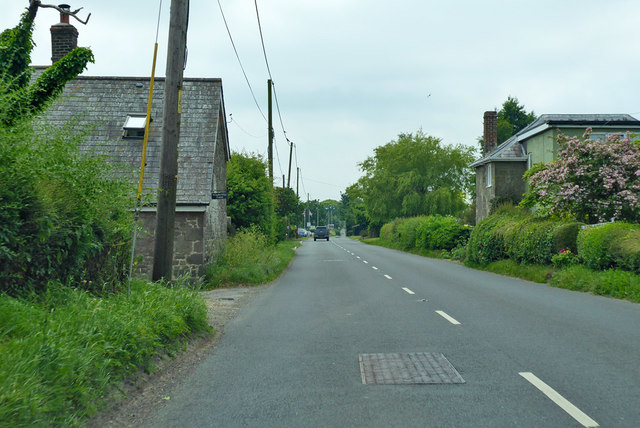
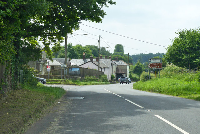
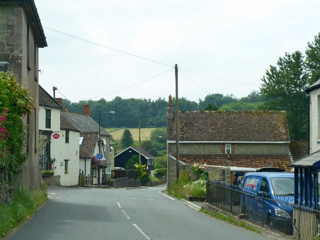
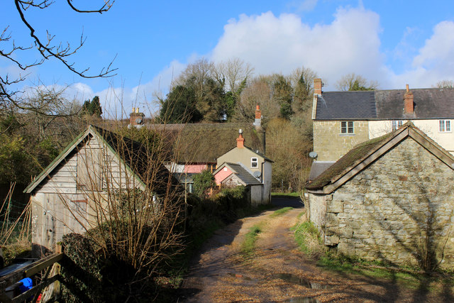
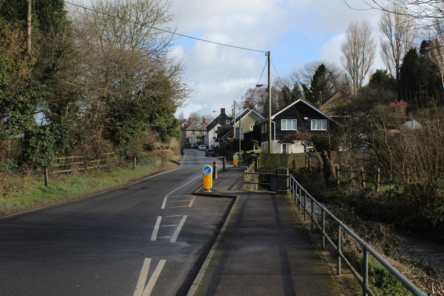
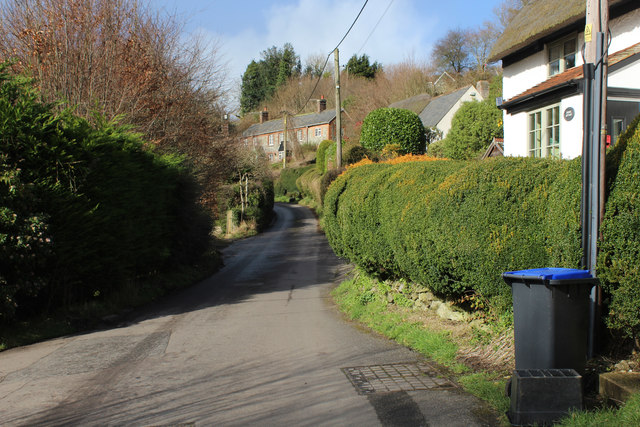
Lower Coombe is a small village located in the county of Wiltshire in southwestern England. Situated in the picturesque countryside, it is nestled between the larger towns of Devizes and Chippenham. The village is surrounded by rolling hills and lush green fields, offering residents and visitors a serene and tranquil environment.
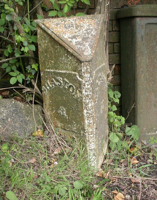
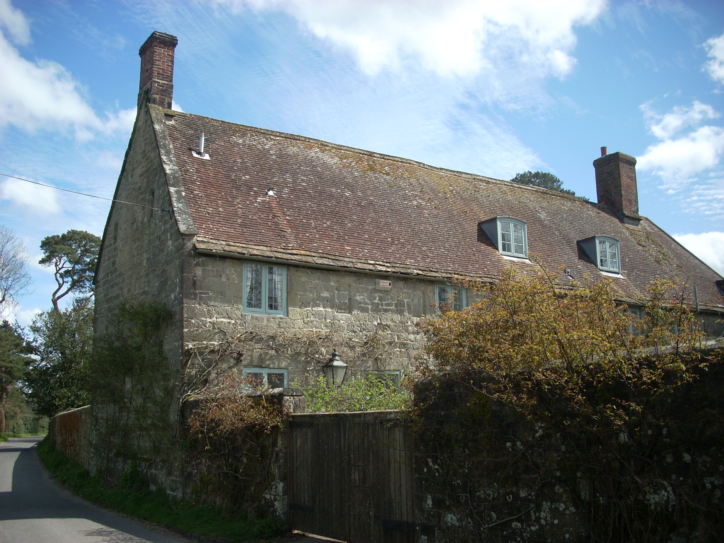
Lower Coombe has a rich history dating back to the medieval period, with evidence of settlements in the area since the 13th century. The village is known for its charming and well-preserved traditional cottages, which add to its historical charm.
Despite its small size, Lower Coombe boasts a strong sense of community, with a local pub, church, and village hall serving as social hubs for residents. The village pub, The Coombe Arms, is a popular gathering spot for locals and visitors alike, offering a cozy atmosphere and a selection of traditional British pub food and beverages.
The surrounding countryside provides ample opportunities for outdoor activities such as hiking, cycling, and horse riding. The village is also well-connected to nearby towns and cities, with easy access to major road networks.
Lower Coombe offers a peaceful and idyllic lifestyle, making it an attractive place for those seeking a rural retreat. With its beautiful scenery, historical significance, and strong community spirit, Lower Coombe is a hidden gem in the heart of Wiltshire.
If you have any feedback on the listing, please let us know in the comments section below.
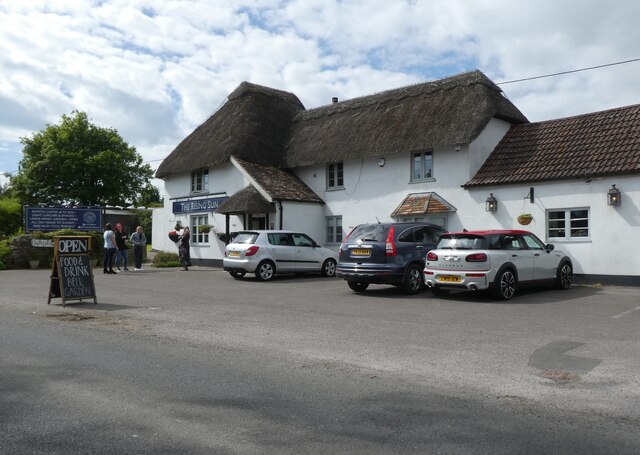
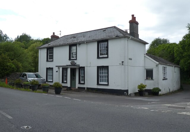
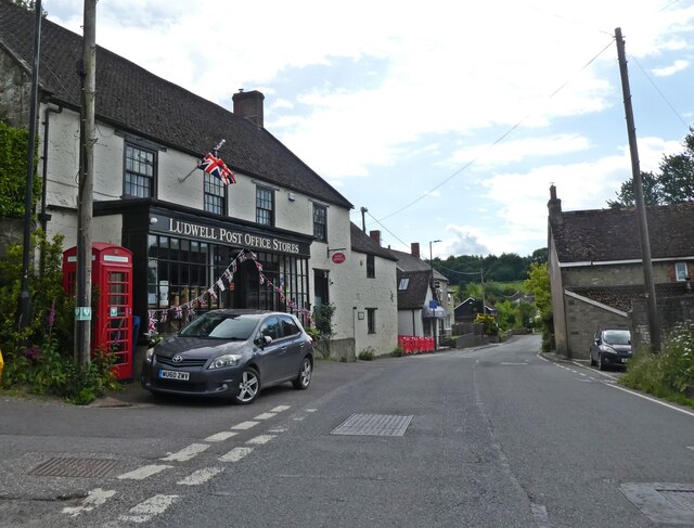
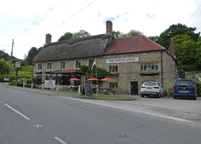
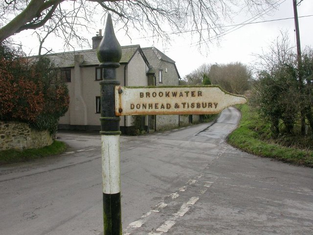
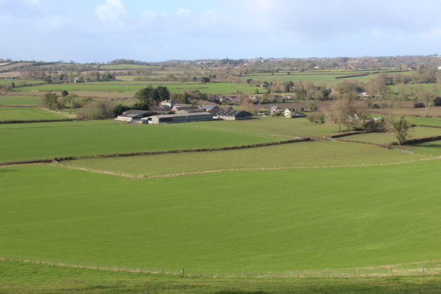
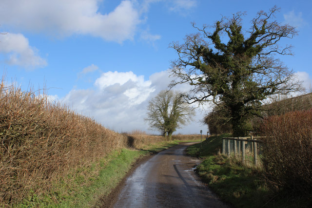
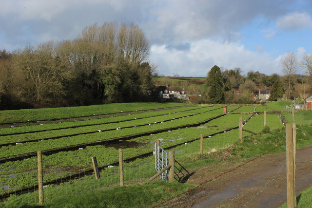
Lower Coombe Images
Images are sourced within 2km of 51.006808/-2.1372612 or Grid Reference ST9023. Thanks to Geograph Open Source API. All images are credited.


Lower Coombe is located at Grid Ref: ST9023 (Lat: 51.006808, Lng: -2.1372612)
Unitary Authority: Wiltshire
Police Authority: Wiltshire
What 3 Words
///downs.siblings.grinning. Near Shaftesbury, Dorset
Nearby Locations
Related Wikis

Ludwell, Wiltshire
Ludwell is a small village in south Wiltshire, England, approximately 3 miles (5 km) east of the Dorset town of Shaftesbury. It lies within the Cranborne...

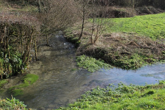
Lower Coombe and Ferne Brook Meadows
Lower Coombe and Ferne Brook Meadows (grid reference ST916236) is an 11.34 hectare biological Site of Special Scientific Interest in Wiltshire, England...

Donhead St Mary
Donhead St Mary is a village and civil parish in southwest Wiltshire, England, on the county border with Dorset. The village lies about 2+1⁄2 miles (4...
Shute House, Donhead St Mary
Shute House, Donhead St Mary, Wiltshire, England is a former rectory, now a private home, notable for its gardens designed by Geoffrey Jellicoe. About...
Nearby Amenities
Located within 500m of 51.006808,-2.1372612Have you been to Lower Coombe?
Leave your review of Lower Coombe below (or comments, questions and feedback).