Lower Berrington
Settlement in Worcestershire Malvern Hills
England
Lower Berrington
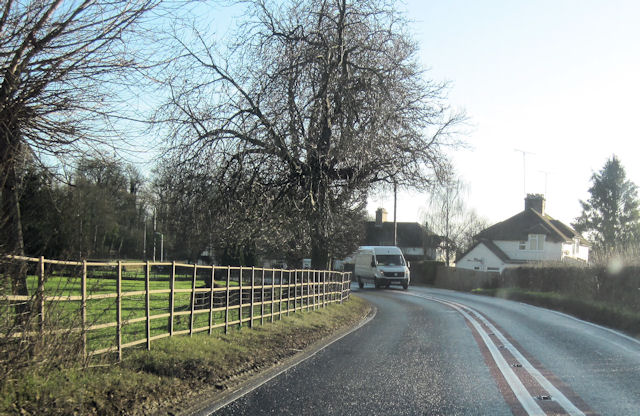
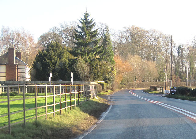
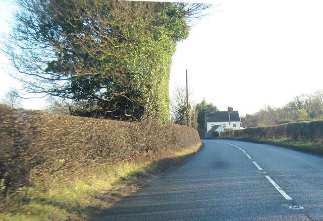
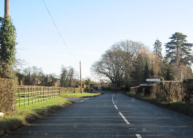
Lower Berrington is a small village located in the county of Worcestershire, England. Situated in the Malvern Hills District, it is nestled in the picturesque countryside, providing residents with a serene and idyllic setting.
The village is characterized by its charming and traditional architecture, with many homes displaying beautiful timber frames and thatched roofs. The local church, St. Mary's, is a notable landmark, boasting a striking medieval design that attracts visitors from near and far.
Lower Berrington benefits from its proximity to the vibrant town of Worcester, which is only a short drive away. This allows residents to enjoy the tranquility of village life while also having access to a range of amenities and services. The village is well-connected to nearby towns and cities through a reliable transportation network, making commuting and exploring the surrounding areas effortless.
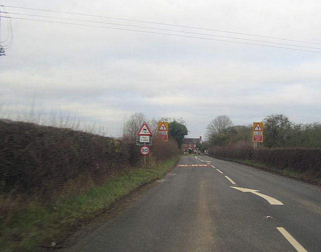
The surrounding countryside offers an abundance of outdoor activities for nature enthusiasts. The Malvern Hills, an Area of Outstanding Natural Beauty, are within easy reach, providing opportunities for hiking, cycling, and enjoying breathtaking views. Lower Berrington is also close to the River Severn, allowing residents to engage in water sports and leisurely walks along its picturesque banks.
The village has a close-knit community, with residents actively participating in local events and clubs. The nearby primary school ensures that families have access to quality education for their children.
Overall, Lower Berrington offers a peaceful and scenic retreat from the hustle and bustle of city life, making it an attractive place to live for those seeking a rural lifestyle with modern conveniences nearby.
If you have any feedback on the listing, please let us know in the comments section below.
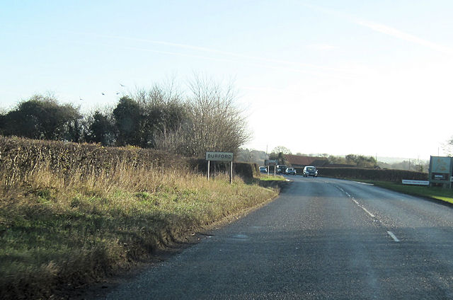
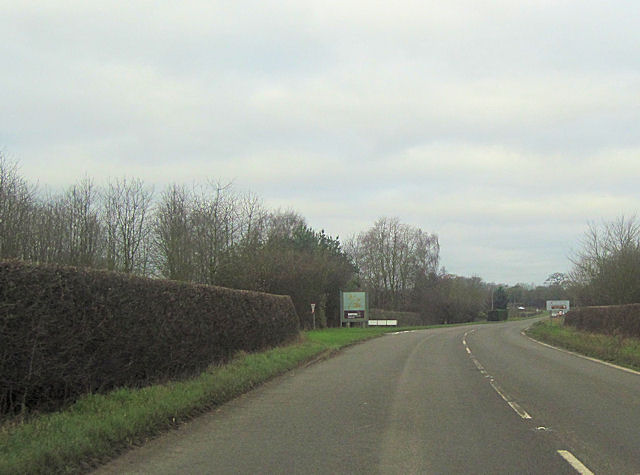
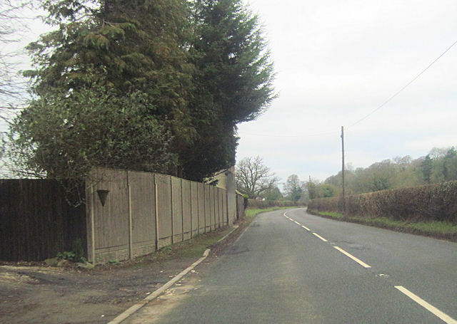
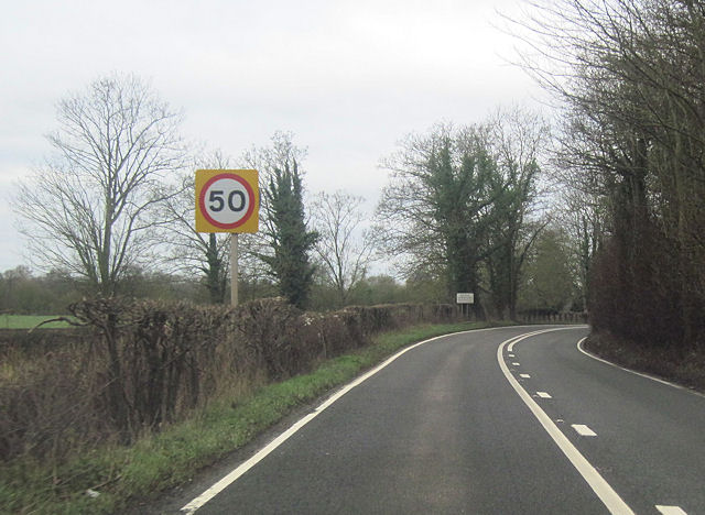
Lower Berrington Images
Images are sourced within 2km of 52.303272/-2.6397371 or Grid Reference SO5667. Thanks to Geograph Open Source API. All images are credited.
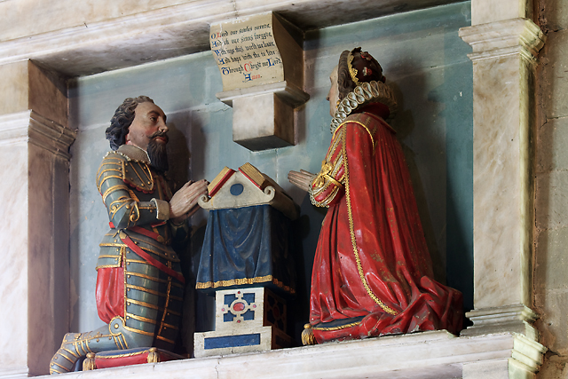
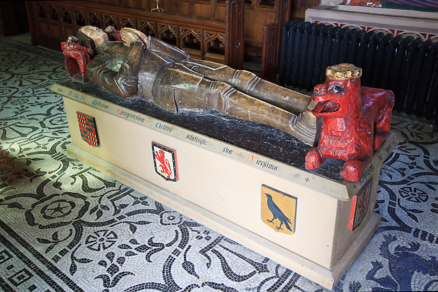
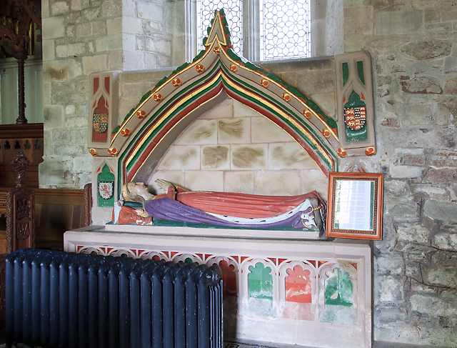
![St Mary's church, Burford - monument to Thomas Cornwall [1] The first of two separate monuments of 1630 in the church to two different Thomas Cornwalls and their wives.](https://s0.geograph.org.uk/geophotos/03/42/23/3422308_c6d468a9.jpg)
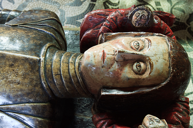
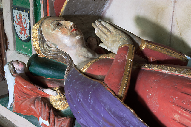
![St Mary's church, Burford - monument to Thomas Cornwall [1] (detail) The first of two separate monuments of 1630 in the church to two different Thomas Cornwalls and their wives.](https://s2.geograph.org.uk/geophotos/03/42/23/3422314_beefc81e.jpg)
Lower Berrington is located at Grid Ref: SO5667 (Lat: 52.303272, Lng: -2.6397371)
Administrative County: Worcestershire
District: Malvern Hills
Police Authority: West Merica
What 3 Words
///shows.flocking.choice. Near Tenbury Wells, Worcestershire
Nearby Locations
Related Wikis

Berrington, Worcestershire
Berrington is a village in Worcestershire, England. Berrington was in the upper division of Doddingtree hundred. == References ==
Easton Court railway station
Easton Court railway station was a station in Little Hereford, Herefordshire, England. The station opened on 1 August 1861 as the only intermediate stop...

Little Hereford
Little Hereford is a small village and civil parish in Herefordshire, England. The civil parish includes the hamlet of Middleton. The population of the...
Berrington Green
Berrington Green is a village in Worcestershire, England near Tenbury Wells. == External links == Media related to Berrington Green at Wikimedia Commons
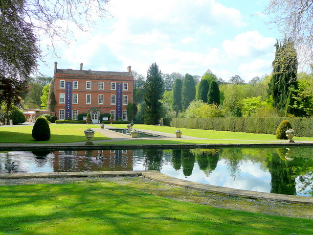
Burford House, Shropshire
Burford House is an 18th-century country house in Burford, Shropshire, near Tenbury Wells, Worcestershire, England. It now functions as a garden centre...
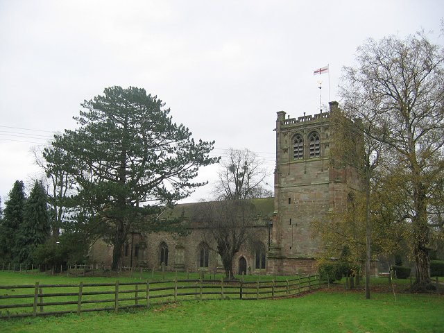
St Mary's Church, Burford
St Mary's Church, Burford, is located near to Burford House in Shropshire, England, about 0.7 miles (1 km) to the west of Tenbury Wells. It is an active...
St Michael's College, Tenbury
St. Michael's College (the College of St. Michael and All Angels) was founded by Sir Frederick Ouseley in 1856 as a boys Preparatory School. Ouseley created...

Oldwood, Worcestershire
Oldwood is a hamlet in the English county of Worcestershire. Oldwood is located on the A4112 road a mile southwest of the market town of Tenbury Wells...
Nearby Amenities
Located within 500m of 52.303272,-2.6397371Have you been to Lower Berrington?
Leave your review of Lower Berrington below (or comments, questions and feedback).