Low Street
Settlement in Norfolk South Norfolk
England
Low Street
The requested URL returned error: 429 Too Many Requests
If you have any feedback on the listing, please let us know in the comments section below.
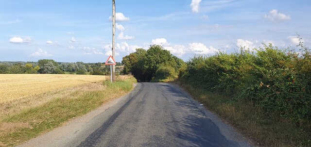
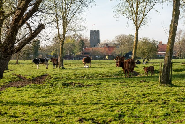
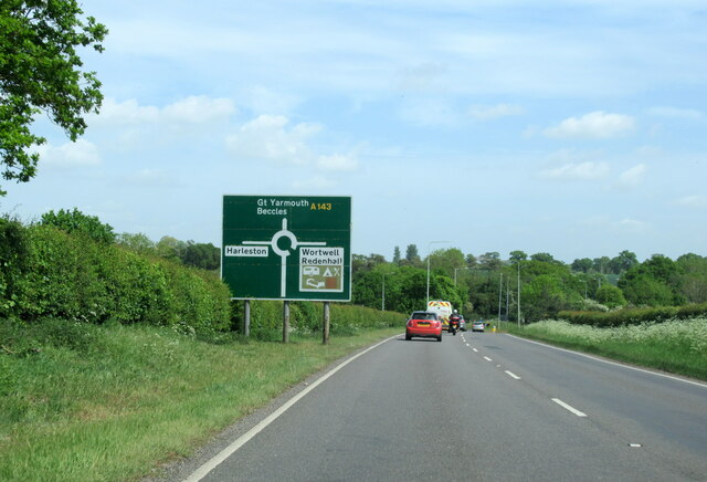
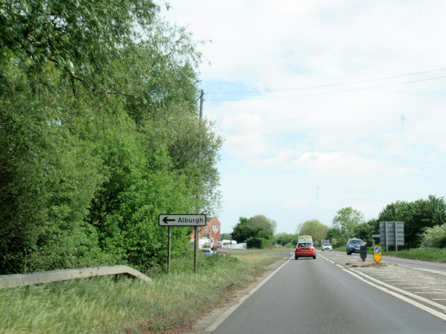
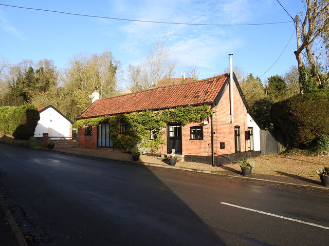
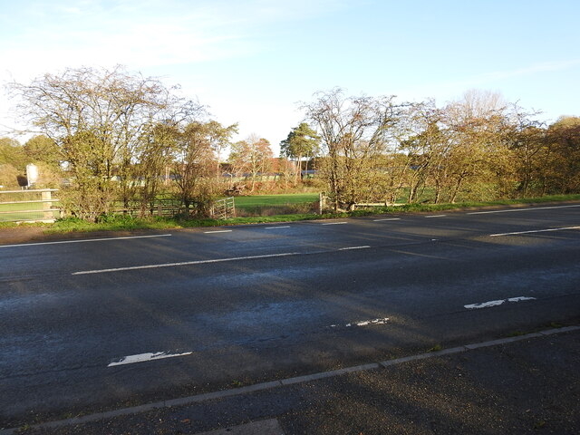
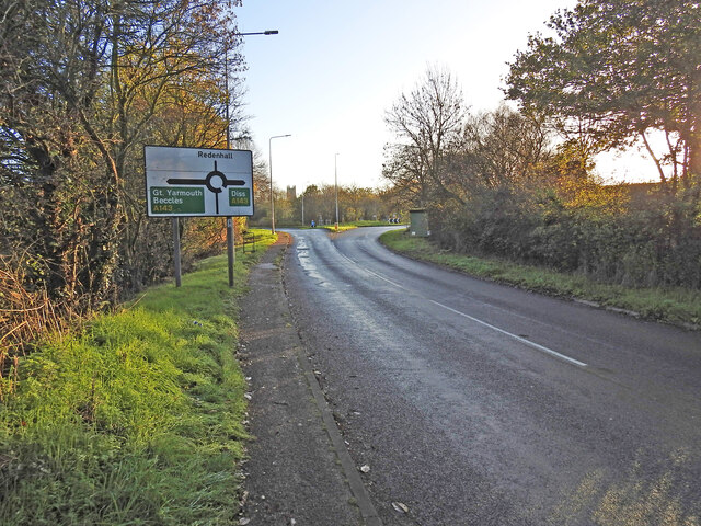
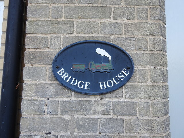
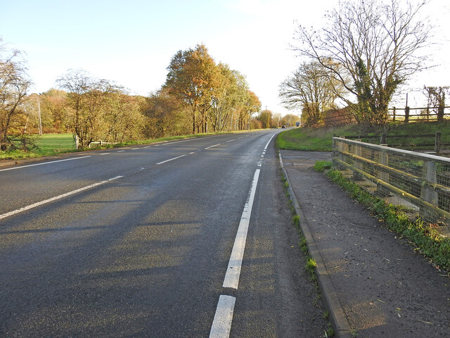
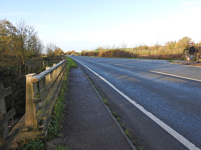
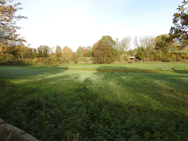
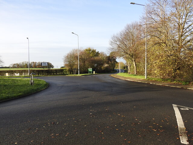
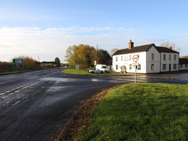
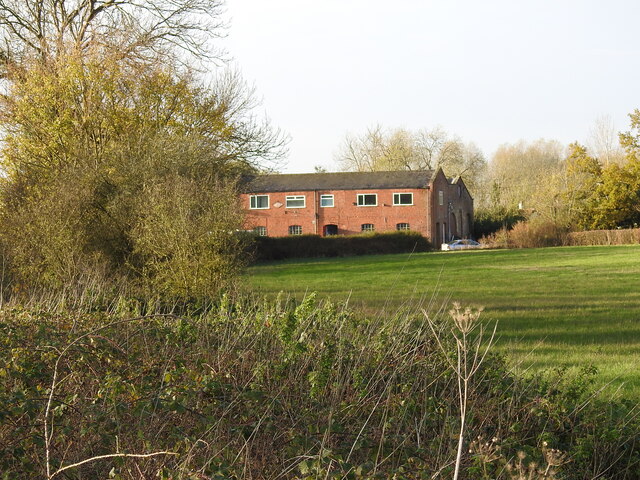
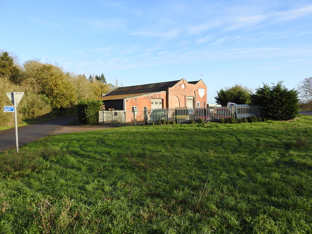
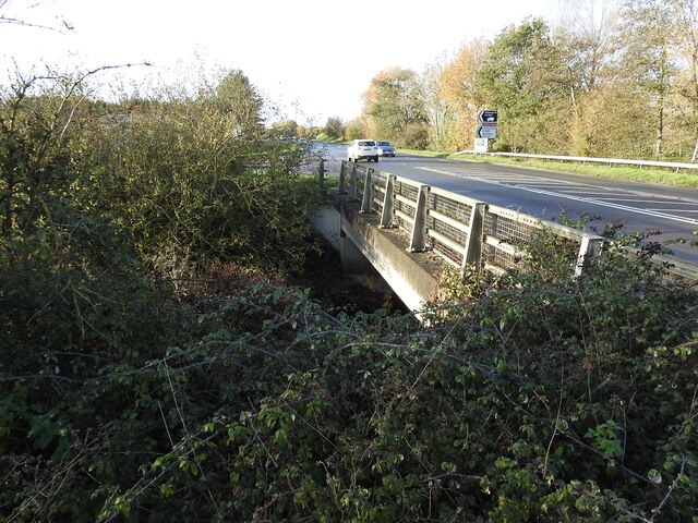
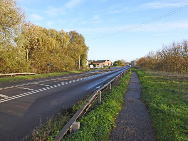
Low Street Images
Images are sourced within 2km of 52.411126/1.3443503 or Grid Reference TM2784. Thanks to Geograph Open Source API. All images are credited.
Low Street is located at Grid Ref: TM2784 (Lat: 52.411126, Lng: 1.3443503)
Administrative County: Norfolk
District: South Norfolk
Police Authority: Norfolk
What 3 Words
///amaze.masters.mourner. Near Harleston, Norfolk
Nearby Locations
Related Wikis

Wortwell
Wortwell is a village and civil parish in the English county of Norfolk and adjoining the county of Suffolk. It is located on both the River Waveney (which...

Wortwell railway station
Wortwell was a station in the small hamlet of Wortwell, Norfolk. It was opened in 1855, as part of the Waveney Valley Line between Tivetshall and Beccles...

Church of the Assumption of the Blessed Virgin Mary, Redenhall
The Church of the Assumption of the Blessed Virgin Mary, Redenhall (St. Mary's Church) is a Grade I listed parish church in the Church of England in Redenhall...

Homersfield
Homersfield, also known as St Mary, South Elmham, is a village and civil parish in the north of the English county of Suffolk. It is in the East Suffolk...
Nearby Amenities
Located within 500m of 52.411126,1.3443503Have you been to Low Street?
Leave your review of Low Street below (or comments, questions and feedback).