Low Prudhoe
Settlement in Northumberland
England
Low Prudhoe
Low Prudhoe is a small village located in Northumberland, England. Situated approximately 10 miles west of Newcastle upon Tyne, it lies on the southern bank of the River Tyne. The village is part of the larger Prudhoe area, which also includes High Prudhoe and Mickley.
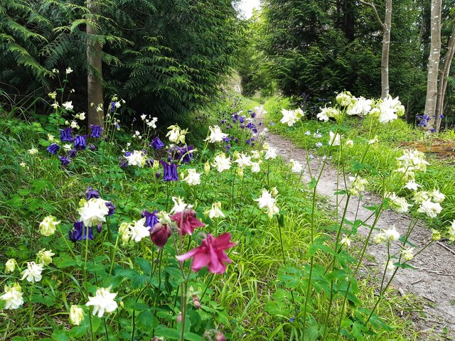
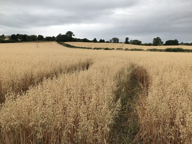
Low Prudhoe is a picturesque village with a rich history. It is known for its charming stone-built houses and scenic surroundings. The area is characterized by rolling hills, woodlands, and the meandering River Tyne that adds to the natural beauty of the village.
The village has a close-knit community and offers a range of amenities to its residents. These include a primary school, a community center, and a few local shops and pubs. The nearby town of Prudhoe provides additional facilities and services, including supermarkets, healthcare facilities, and leisure activities.
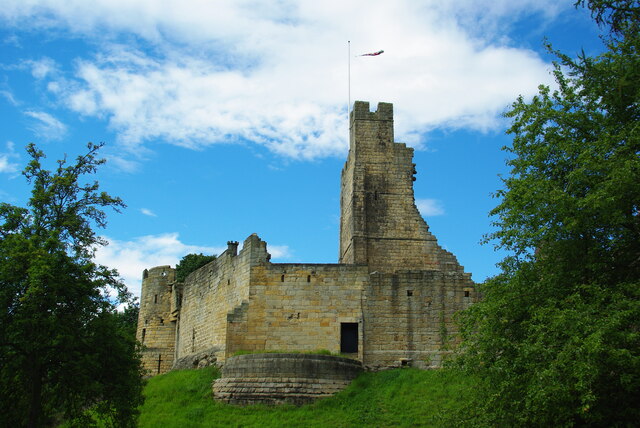
One of the main attractions in the area is Prudhoe Castle, a historic fortress that dates back to the 12th century. The castle, managed by English Heritage, offers visitors the opportunity to explore its well-preserved ruins and learn about its significance in the region's history.
Low Prudhoe is also an ideal location for outdoor enthusiasts. The surrounding countryside provides ample opportunities for walking, cycling, and other outdoor activities. The village is well-connected by road, making it easily accessible to nearby towns and cities.
In summary, Low Prudhoe is a picturesque village with a rich history and a close-knit community. Its scenic surroundings, amenities, and proximity to notable attractions make it an attractive place to live and visit in Northumberland.
If you have any feedback on the listing, please let us know in the comments section below.
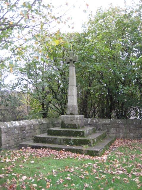
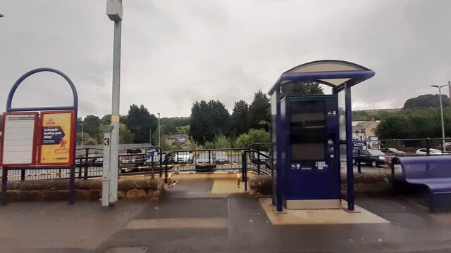
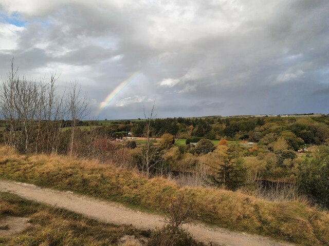
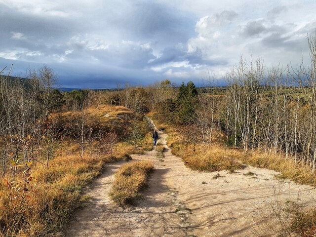
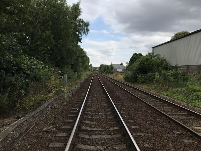
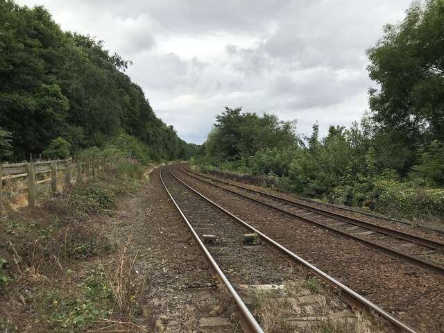
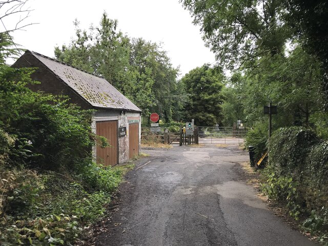
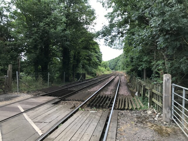
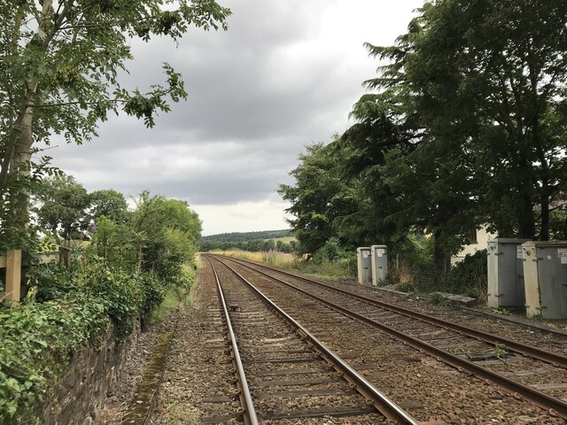
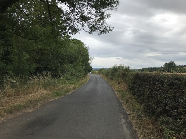
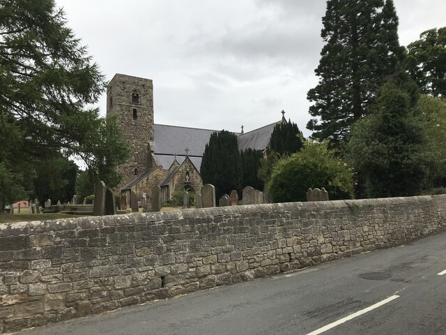
Low Prudhoe Images
Images are sourced within 2km of 54.964828/-1.8638381 or Grid Reference NZ0863. Thanks to Geograph Open Source API. All images are credited.


Low Prudhoe is located at Grid Ref: NZ0863 (Lat: 54.964828, Lng: -1.8638381)
Unitary Authority: Northumberland
Police Authority: Northumbria
What 3 Words
///unloaded.candles.slap. Near Prudhoe, Northumberland
Nearby Locations
Related Wikis

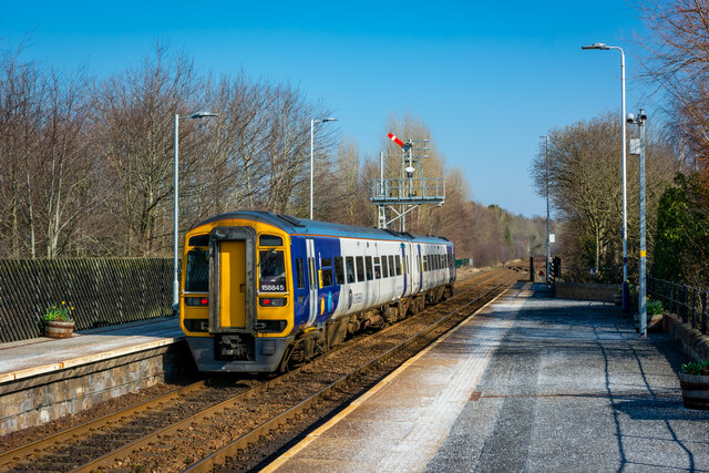
Prudhoe railway station
Prudhoe is a railway station on the Tyne Valley Line, which runs between Newcastle and Carlisle via Hexham. The station, situated 12 miles 1 chain (12...
Ovingham
Ovingham is a civil parish and village in the Tyne Valley of south Northumberland, England. It lies on the River Tyne 10 miles (16 km) east of Hexham...
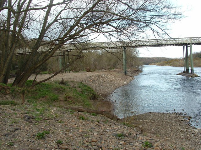
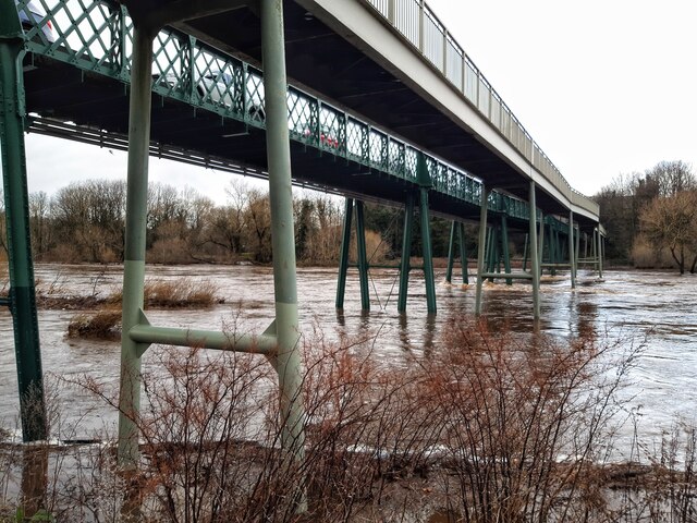
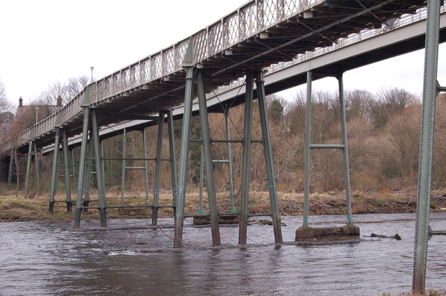
Ovingham Bridge
Ovingham Bridges are a pair of side-by-side vehicle and pedestrian bridges across the River Tyne linking Ovingham and Prudhoe in Northumberland, England...

Prudhoe Castle
Prudhoe Castle is a ruined medieval English castle situated on the south bank of the River Tyne at Prudhoe, Northumberland, England. It is a Scheduled...

A695 road
A695 road is a road in Northern England linking Newcastle upon Tyne, Tyne and Wear, with Hexham, Northumberland. == Motorway == It was part of the proposed...

Prudhoe
Prudhoe ( PRUD-ə) is a town in south Northumberland, England, about 11 miles (18 km) west of the city of Newcastle upon Tyne and just south of the River...

Prudhoe Community High School
Prudhoe Community High School is a coeducational high school and sixth form located in Prudhoe, Northumberland, England. Situated on Moor Road, Prudhoe...

Cherryburn
Cherryburn is a cottage in Mickley, Northumberland, England. It was the birthplace of Thomas Bewick, an English wood engraver and ornithologist. The cottage...
Related Videos

Camping trip - The High Hermitage
A camping trip to The High Hermitage caravan and camping site. Countryside, beers, bbq and a nice walk.to Wylam.

Ovingham - Whittle Dene - Horsley Hill - Circular Walk
Light dusting of snow, so out for the first of 2021 - Not spectacular by any means, just a canny walk in the beautiful Tyne Valley...
Prudhoe and Wylam with Interesting Walks NE (9.6 miles) - Another mild day
Such natural beauty, so close to industry and the hustle and bustle of the nearby towns. Hard in places with a long, steep climb up ...

Exploring Ovingham
This is my first ever Go Pro Video, during lockdown it had given us more opportunities to explore nature. Having a dog is a perfect ...
Nearby Amenities
Located within 500m of 54.964828,-1.8638381Have you been to Low Prudhoe?
Leave your review of Low Prudhoe below (or comments, questions and feedback).