Low Nibthwaite
Settlement in Lancashire South Lakeland
England
Low Nibthwaite
Low Nibthwaite is a small rural village located in the county of Lancashire, England. Situated within the Lake District National Park, it is surrounded by picturesque landscapes and offers a tranquil escape for residents and visitors alike.
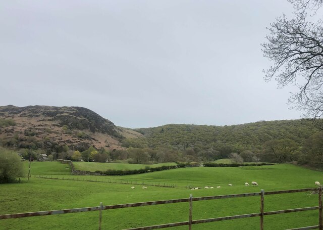
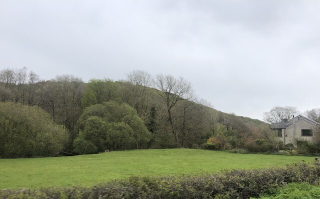
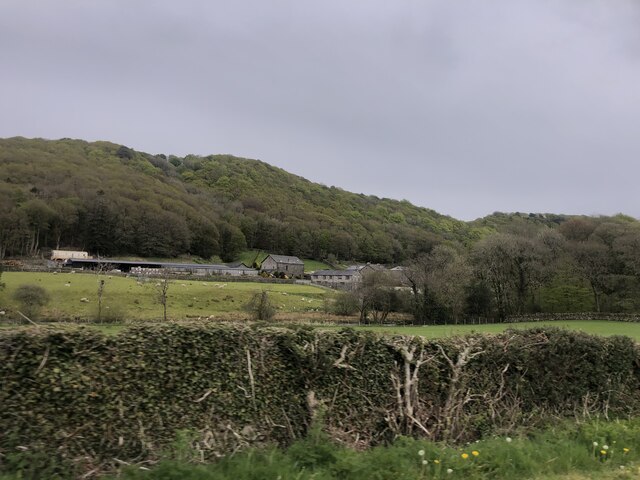
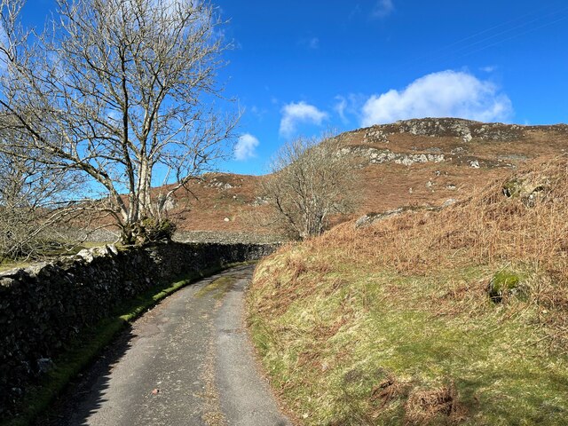
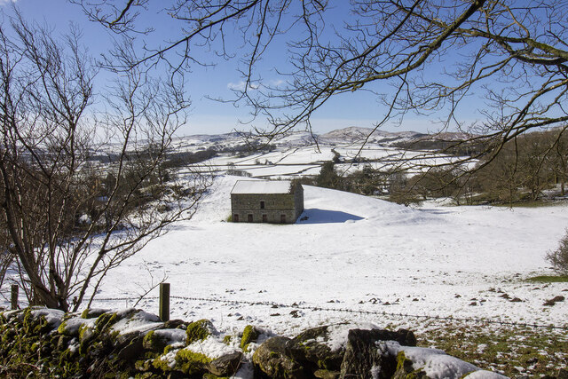
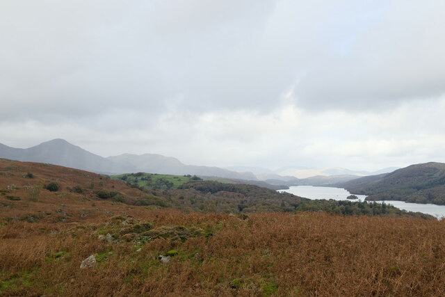
The village is nestled on the western shores of Coniston Water, one of the most iconic lakes in the region. This location makes it a popular destination for nature lovers, hikers, and water sports enthusiasts. The peaceful atmosphere and stunning natural beauty of Low Nibthwaite attract tourists looking to explore the great outdoors.
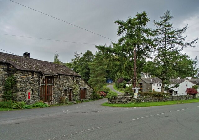
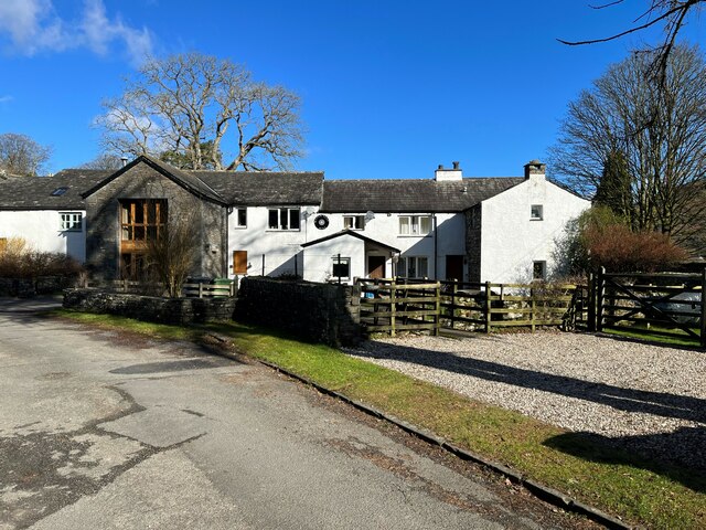
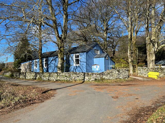
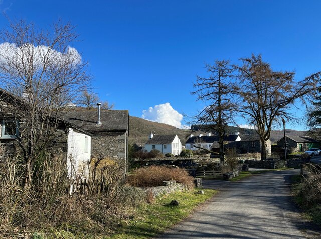
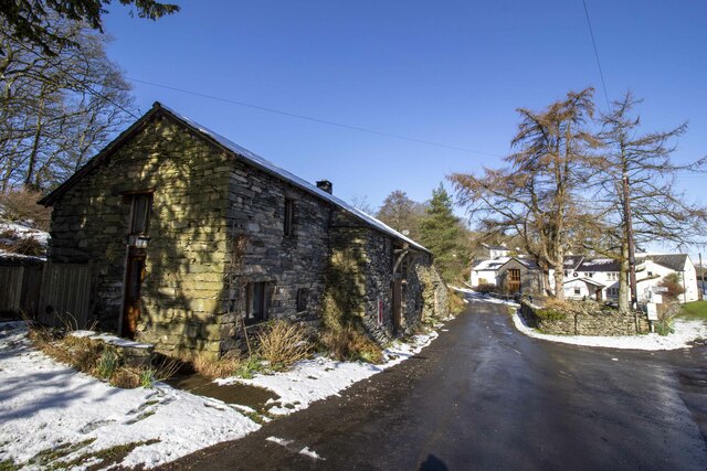
The village itself is characterized by a collection of traditional stone houses, giving it a charming and quaint appearance. It has a small population, with a close-knit community that takes pride in maintaining the village's historic character.
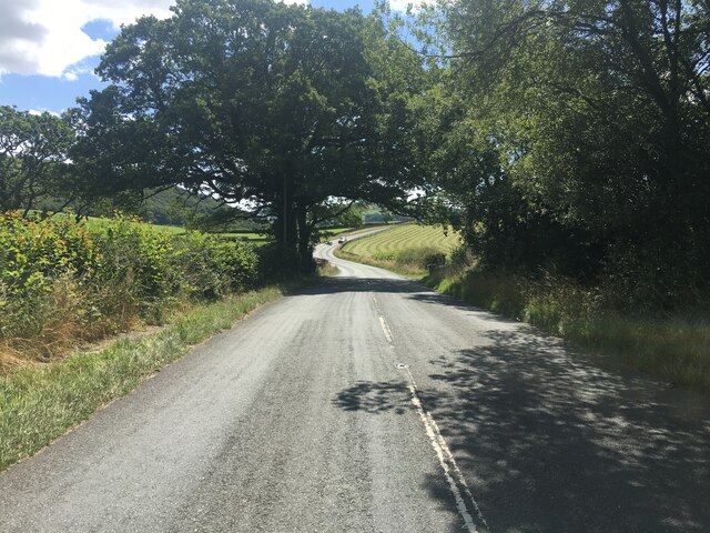
Although Low Nibthwaite does not have many amenities, it benefits from its proximity to nearby towns and villages, such as Coniston and Hawkshead, where residents can find essential services and amenities.
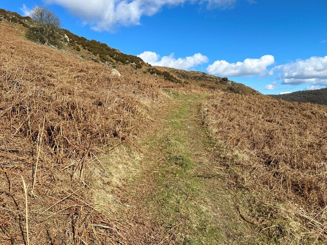
For those seeking outdoor activities, Low Nibthwaite offers numerous walking and cycling trails that traverse the surrounding fells and woodlands. The village also provides easy access to the lake, allowing visitors to enjoy boating, fishing, and swimming during the warmer months.
In summary, Low Nibthwaite is a charming village situated in the heart of the Lake District National Park. With its idyllic location and natural beauty, it provides a peaceful retreat for those looking to immerse themselves in the stunning landscapes of Lancashire.
If you have any feedback on the listing, please let us know in the comments section below.
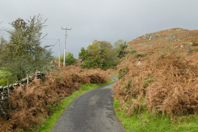
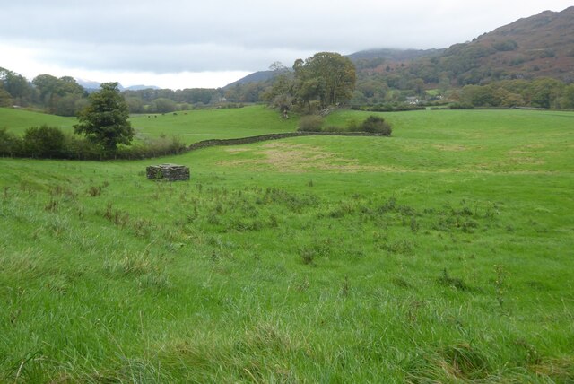
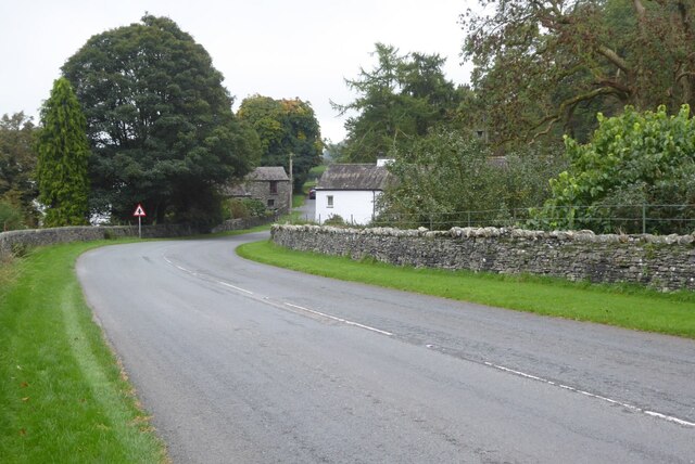
Low Nibthwaite Images
Images are sourced within 2km of 54.283875/-3.0834718 or Grid Reference SD2988. Thanks to Geograph Open Source API. All images are credited.


Low Nibthwaite is located at Grid Ref: SD2988 (Lat: 54.283875, Lng: -3.0834718)
Administrative County: Cumbria
District: South Lakeland
Police Authority: Cumbria
What 3 Words
///meanwhile.replaying.piles. Near Ulverston, Cumbria
Nearby Locations
Related Wikis

St John the Baptist's Church, Blawith
St John the Baptist's Church is a redundant Anglican church in the settlement of Blawith, Cumbria, England. It is located to the east of the A5084 road...

Blawith and Subberthwaite
Blawith and Subberthwaite is a civil parish in the South Lakeland district of Cumbria, England. It is situated in the Lake District National Park, and...

Bandrake Head
Bandrake Head is a village in Cumbria, England. == External links == Media related to Bandrake Head at Wikimedia Commons

Furness
Furness ( FUR-niss, fur-NESS) is a peninsula and region of Cumbria, England. Together with the Cartmel Peninsula it forms North Lonsdale, historically...

North Lonsdale Rural District
North Lonsdale was a rural district in the county of Lancashire, England from 1894 to 1974. It was created in 1894 as the Ulverston Rural District, and...

Lowick, Cumbria
Lowick is a village and civil parish in the South Lakeland district of the English county of Cumbria. Prior to 1 April 1974 it was part of Lancashire,...

Nibthwaite
Nibthwaite is a village in the South Lakeland District in the county of Cumbria in the northwest of England. It is in the civil parish of Colton, and on...

Oxen Park
Oxen Park is a hamlet in the English county of Cumbria. Oxen Park lies on the watershed between Rusland and Colton Beck valleys in South Lakeland, and...
Related Videos

Crake Valley Promo Video 2021
Crake Valley Holiday Park, near Coniston, Lake District, UK.


Scafell Lodge Promo
Scafell lodge, crake valley holiday park, Lake District accommodation.

The Cedars Lodge Promotional Video
The Cedars Lodge, Crake Valley Holiday Park, Coniston, Lake District. Accommodation in the Lake District UK.
Nearby Amenities
Located within 500m of 54.283875,-3.0834718Have you been to Low Nibthwaite?
Leave your review of Low Nibthwaite below (or comments, questions and feedback).