Low Moor Side

Settlement in Yorkshire

England

Low Moor Side

Carr Hall Farm, Gildersome Viewed from the access track which forms part of a public footpath.
Carr Hall Farm, Gildersome Credit: Stephen Craven

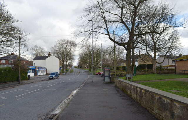
Low Moor Side is a small village located in the county of Yorkshire, England. Situated in the metropolitan borough of Kirklees, it is nestled in the rolling hills of the Pennine Range, offering picturesque views of the surrounding countryside. The village is known for its tranquil and rural atmosphere, making it an ideal place for those seeking a peaceful retreat from the bustling city life.

With a population of around 500 residents, Low Moor Side retains a close-knit community spirit. The village is characterized by its charming stone-built cottages, which add to its traditional English countryside appeal. The local economy is primarily based on agriculture, with many residents involved in farming and livestock rearing.

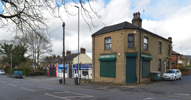
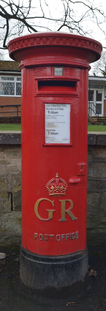
Low Moor Side boasts several amenities to cater to the needs of its residents. The village is home to a well-maintained primary school, providing quality education to the local children. There is also a post office and a convenience store, ensuring that the residents have access to essential goods and services. Additionally, the village has a cozy pub, serving as a social hub for the community, where locals gather to relax and socialize.

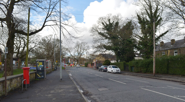
Nature enthusiasts are drawn to Low Moor Side due to its proximity to stunning natural landscapes. The village is surrounded by beautiful walking trails and scenic spots, making it a haven for hikers and outdoor enthusiasts. The nearby moors and woodlands offer opportunities for exploration and provide a habitat for a diverse range of flora and fauna.

Overall, Low Moor Side offers a peaceful and idyllic setting, making it an appealing destination for those seeking a quiet and picturesque village experience in the heart of Yorkshire.

If you have any feedback on the listing, please let us know in the comments section below.

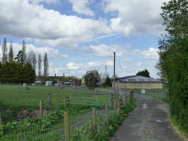
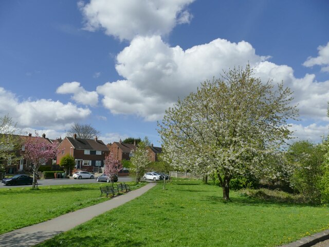
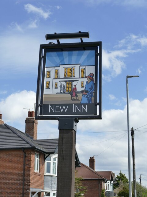
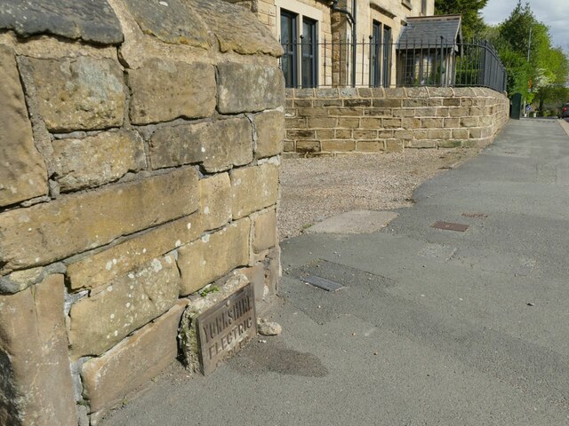
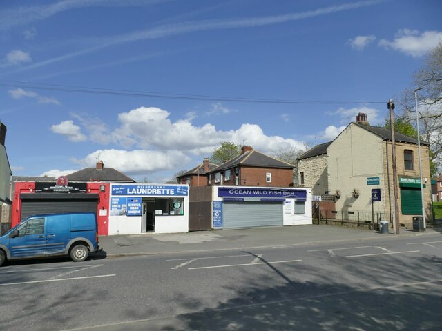
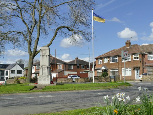
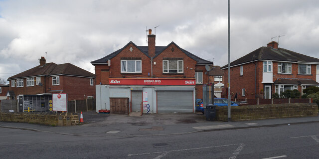
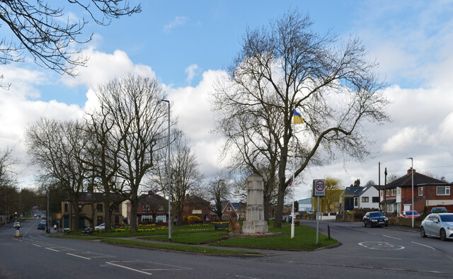
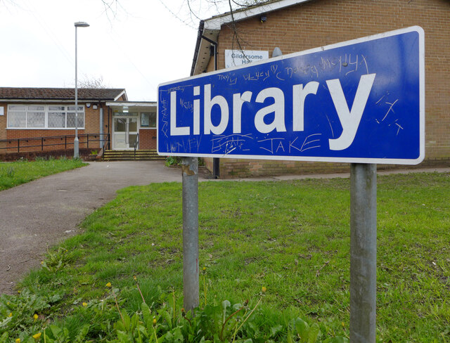
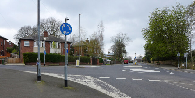
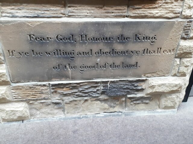
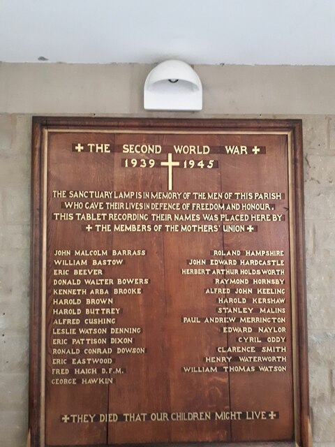
Low Moor Side Images

Images are sourced within 2km of 53.775943/-1.6270807 or Grid Reference SE2431. Thanks to Geograph Open Source API. All images are credited.

Carr Hall Farm, Gildersome Viewed from the access track which forms part of a public footpath.
Carr Hall Farm, Gildersome
Viewed from the access track which forms part of a public footpath.
Spring View, Gildersome The name is that of the road from which the photo is taken, and presumably refers to a spring of water, but the blossom on the trees also makes it a seasonal picture.
Spring View, Gildersome
The name is that of the road from which the photo is taken, and presumably refers to a spring of water, but the blossom on the trees also makes it a seasonal picture.
Sign for the New Inn, Gildersome The sign was not present just over a year earlier <a href="https://www.geograph.org.uk/photo/6787100">SE2429 : The New Inn, Church Street, Gildersome - temporarily closed?</a> but a restored version of the previous design has been put back, compare <a href="https://www.geograph.org.uk/photo/6393022">SE2429 : Sign for the New Inn, Gildersome</a> and play spot-the-difference!

I came this time to go in for a drink because of the pub's heritage status, and can confirm it retains much of its 1930s interior decor, but did not take any interior photos as that's against Samuel Smith's company policy.
Sign for the New Inn, Gildersome
The sign was not present just over a year earlier SE2429 : The New Inn, Church Street, Gildersome - temporarily closed? but a restored version of the previous design has been put back, compare SE2429 : Sign for the New Inn, Gildersome and play spot-the-difference! I came this time to go in for a drink because of the pub's heritage status, and can confirm it retains much of its 1930s interior decor, but did not take any interior photos as that's against Samuel Smith's company policy.
Cable marker, Church Street, Gildersome A part-buried metal plate reading 'Yorkshire Electric Cables'.
Cable marker, Church Street, Gildersome
A part-buried metal plate reading 'Yorkshire Electric Cables'.
Shops on Town Street, Gildersome Currently comprising a pizza takeaway, laundrette, fish-and-chip shop and sandwich shop.
Shops on Town Street, Gildersome
Currently comprising a pizza takeaway, laundrette, fish-and-chip shop and sandwich shop.
Ukrainian flag, Town Street, Gildersome The flagpole by the war memorial seems to be used for marking particular occasions, as the last time I passed it was flying the NHS flag during the Covid-19 pandemic <a href="https://www.geograph.org.uk/photo/6786905">SE2429 : Gildersome village cenotaph</a>. This time it was marking the war in Ukraine, although the Union flag has also been seen <a href="https://www.geograph.org.uk/photo/6393017">SE2429 : War Memorial, Gildersome</a>.
Ukrainian flag, Town Street, Gildersome
The flagpole by the war memorial seems to be used for marking particular occasions, as the last time I passed it was flying the NHS flag during the Covid-19 pandemic SE2429 : Gildersome village cenotaph. This time it was marking the war in Ukraine, although the Union flag has also been seen SE2429 : War Memorial, Gildersome.
Bownass News, Harthill Parade (B6216), Gildersome Bownass News also serves as the Post Office.
Bownass News, Harthill Parade (B6216), Gildersome
Bownass News also serves as the Post Office.
War Memorial, Gildersome Green
Karen's Pantry, Town Street (B6216), Gildersome
Town Street (B6216), Gildersome A close-up of the post box can be seen in <a href="https://www.geograph.org.uk/photo/7441113">SE2429 : Post box, Town Street (B6216), Gildersome</a>.
Town Street (B6216), Gildersome
A close-up of the post box can be seen in SE2429 : Post box, Town Street (B6216), Gildersome.
Post box, Town Street (B6216), Gildersome This post box can be seen in context in <a href="https://www.geograph.org.uk/photo/7441107">SE2429 : Town Street (B6216), Gildersome</a>.
Post box, Town Street (B6216), Gildersome
This post box can be seen in context in SE2429 : Town Street (B6216), Gildersome.
Town Street (B6216), Gildersome
Library sign, Town Street (B6216), Gildersome
The junction of Street Lane, Church Street and Town Street, Gildersome
Carved stone on a former Sunday School building The building is now a church hall <a href="https://www.geograph.org.uk/photo/6787848">SE2429 : St Peter's church, and hall, Gildersome</a> and this carved stone that would originally have been visible from the outside is now within the link corridor to the church itself. The text is:

Fear God, Honour the King. If ye be willing and obedient, ye shall eat of the good of the land  

It is a compound of two Bible verses: 1 Peter 2:17 and Isaiah 1:19. The King at the start of the year the Sunday school was opened was William IV; by the end of that year, he had been succeeded by Queen Victoria.
Carved stone on a former Sunday School building
The building is now a church hall SE2429 : St Peter's church, and hall, Gildersome and this carved stone that would originally have been visible from the outside is now within the link corridor to the church itself. The text is: Fear God, Honour the King. If ye be willing and obedient, ye shall eat of the good of the land It is a compound of two Bible verses: 1 Peter 2:17 and Isaiah 1:19. The King at the start of the year the Sunday school was opened was William IV; by the end of that year, he had been succeeded by Queen Victoria.
WW2 memorial, St Peter's, Gildersome The memorial was probably in the previous church that was demolished in 1984, and is now within the link corridor between the new church and hall.
WW2 memorial, St Peter's, Gildersome
The memorial was probably in the previous church that was demolished in 1984, and is now within the link corridor between the new church and hall.
Award plaque, St Peter's, Gildersome The new church was opened in 1992 and won a civic award the following year.
Award plaque, St Peter's, Gildersome
The new church was opened in 1992 and won a civic award the following year.
Roof of St Peter's, Gildersome The timber roof of the octagonal worship area is quite distinctive. It is supported by a steel ring beam.
Roof of St Peter's, Gildersome
The timber roof of the octagonal worship area is quite distinctive. It is supported by a steel ring beam.
Show me another place!

Low Moor Side is located at Grid Ref: SE2431 (Lat: 53.775943, Lng: -1.6270807)

Division: West Riding

Unitary Authority: Leeds

Police Authority: West Yorkshire

What 3 Words

///chin.surely.gear. Near Gildersome, West Yorkshire

Nearby Locations

Low Moor Side

Related Wikis

The Farnley Academy

The Farnley Academy is a secondary school with serving the Farnley, New Farnley and Wortley wards of Leeds, West Yorkshire, England. Mr Stokes is the principal...

Farnley Hall Park

Farnley Hall Park is a park in Farnley, Leeds, England, approximately four miles from the city centre. 16 hectares in size, it lies in the grounds of Farnley...

Farnley Hall, West Yorkshire

Farnley Hall is a stately home in Farnley, west Leeds, West Yorkshire, England. It is a grade II listed building. It was built in Elizabethan times by...

Agbrigg and Morley

Agbrigg and Morley was a wapentake of the West Riding of Yorkshire, England. The main purpose of the wapentake was the administration of justice by a local...

Nearby Amenities

Located within 500m of 53.775943,-1.6270807
Turning Circle
Lat/Long: 53.7747396/-1.6258479
Post Box
Operator: Royal Mail
Post Box Type: pillar
Ref: LS12 318
Lat/Long: 53.7732056/-1.6253749
Fast Food
Craven's Of New Farnley
Addr City: Leeds
Addr Housenumber: 5
Addr Postcode: LS12 5EA
Addr Street: Low Moor Side
Addr Suburb: New Farnley
Cuisine: fish_and_chips
Fhrs Id: 1170184
Takeaway: yes
Lat/Long: 53.776064/-1.6281391
Atm
Lat/Long: 53.7761064/-1.624342
Post Box
Operator: Royal Mail
Post Box Type: pillar
Ref: LS12 720
Lat/Long: 53.7760471/-1.6241853
Doctors
New Farnley Medical Centre
Lat/Long: 53.7764376/-1.6241737
Turning Circle
Lat/Long: 53.7770529/-1.6262601
Turning Circle
Lat/Long: 53.7774027/-1.6273335
Turning Circle
Lat/Long: 53.7785692/-1.6277298
Turning Circle
Lat/Long: 53.7791295/-1.6273359
Crossing: informal
Lat/Long: 53.7775686/-1.6249632
Turning Circle
Lat/Long: 53.7781575/-1.6258575
Bus Stop
Whitehall Road Wolley Avenue
Bus: yes
Local Ref: 45010368
Naptan AtcoCode: 450010368
Naptan Bearing: NE
Naptan CommonName: Whitehall Road Wolley Avenue
Naptan Crossing: Wolley Avenue
Naptan Indicator: Stop 45010368
Naptan PlusbusZoneRef: LEEDS
Naptan ShortCommonName: Wolley Avenue
Naptan Street: Whitehall Road
Naptan Verified: no
Public Transport: platform
Shelter: yes
Source: naptan_import
Lat/Long: 53.774332/-1.6228425
Bus Stop
Whitehall Road Walsh Lane
Local Ref: 45010369
Naptan AtcoCode: 450010369
Naptan Bearing: NE
Naptan CommonName: Whitehall Road Walsh Lane
Naptan Crossing: Walsh Lane
Naptan Indicator: Stop 45010369
Naptan Notes: New Trueform shelter installed 17 June 2008. Awaiting snagging sheet and photos.
Naptan PlusbusZoneRef: LEEDS
Naptan ShortCommonName: Walsh Lane
Naptan Street: Whitehall Road
Naptan Verified: no
Source: naptan_import
Lat/Long: 53.7723426/-1.6276398
Bus Stop
Whitehall Road Lawns Lane
Bus: yes
Local Ref: 45012701
Naptan AtcoCode: 450012701
Naptan Bearing: NE
Naptan CommonName: Whitehall Road Lawns Lane
Naptan Crossing: Lawns Lane
Naptan Indicator: Stop 45012701
Naptan Landmark: St James Church
Naptan PlusbusZoneRef: LEEDS
Naptan ShortCommonName: Lawns Lane
Naptan Street: Whitehall Road
Naptan Verified: no
Public Transport: platform
Shelter: yes
Source: naptan_import
Lat/Long: 53.7756355/-1.6200842
Bus Stop
Low Moor Side Low Moorside Court
Local Ref: 45012717
Naptan AtcoCode: 450012717
Naptan Bearing: W
Naptan CommonName: Low Moor Side Low Moorside Court
Naptan Crossing: Nr-At Lawns Lane
Naptan Indicator: Stop 45012717
Naptan PlusbusZoneRef: LEEDS
Naptan ShortCommonName: Lawns Lane
Naptan Street: Low Moor Side
Naptan Verified: no
Source: naptan_import
Lat/Long: 53.7759312/-1.6226308
Bus Stop
Low Moor Side Low Moorside Court
Local Ref: 45012718
Naptan AtcoCode: 450012718
Naptan Bearing: E
Naptan CommonName: Low Moor Side Low Moorside Court
Naptan Crossing: Nr-At School Close
Naptan Indicator: Stop 45012718
Naptan PlusbusZoneRef: LEEDS
Naptan ShortCommonName: Lawns Lane
Naptan Street: Low Moor Side
Naptan Verified: no
Source: naptan_import
Lat/Long: 53.7760024/-1.6224026
Bus Stop
Low Moor Side Wolley Avenue
Local Ref: 45012719
Naptan AtcoCode: 450012719
Naptan Bearing: E
Naptan CommonName: Low Moor Side Wolley Avenue
Naptan Crossing: Wolley Avenue
Naptan Indicator: Stop 45012719
Naptan PlusbusZoneRef: LEEDS
Naptan ShortCommonName: Wolley Avenue
Naptan Street: Low Moor Side
Naptan Verified: no
Source: naptan_import
Lat/Long: 53.7760114/-1.6252856
Bus Stop
Low Moor Side Wolley Avenue
Local Ref: 45012720
Naptan AtcoCode: 450012720
Naptan Bearing: W
Naptan CommonName: Low Moor Side Wolley Avenue
Naptan Crossing: Wolley Avenue
Naptan Indicator: Stop 45012720
Naptan PlusbusZoneRef: LEEDS
Naptan ShortCommonName: Wolley Avenue
Naptan Street: Low Moor Side
Naptan Verified: no
Source: naptan_import
Lat/Long: 53.77594/-1.625438
Bus Stop
Wolley Avenue
Local Ref: 45012721
Naptan AtcoCode: 450012721
Naptan Bearing: NW
Naptan CommonName: Wolley Avenue
Naptan Crossing: A58 Whitehall Road
Naptan Indicator: Stop 45012721
Naptan PlusbusZoneRef: LEEDS
Naptan ShortCommonName: Wolley Avenue
Naptan Street: Wolley Avenue
Naptan Verified: no
Source: naptan_import
Lat/Long: 53.7747678/-1.6242345
Bus Stop
Whitehall Road Walsh Lane
Local Ref: 45012498
Naptan AtcoCode: 450012498
Naptan Bearing: SW
Naptan CommonName: Whitehall Road Walsh Lane
Naptan Crossing: Walsh Lane
Naptan Indicator: Stop 45012498
Naptan PlusbusZoneRef: LEEDS
Naptan ShortCommonName: Walsh Lane
Naptan Street: Whitehall Road
Naptan Verified: no
Source: naptan_import
Lat/Long: 53.7721365/-1.6278692
Bus Stop
Whitehall Road Wolley Avenue
Local Ref: 45012499
Naptan AtcoCode: 450012499
Naptan Bearing: SW
Naptan CommonName: Whitehall Road Wolley Avenue
Naptan Crossing: Wolley Avenue
Naptan Indicator: Stop 45012499
Naptan PlusbusZoneRef: LEEDS
Naptan ShortCommonName: Wolley Avenue
Naptan Street: Whitehall Road
Naptan Verified: no
Source: naptan_import
Lat/Long: 53.7739651/-1.6233768
Bus Stop
Whitehall Road Lawns Lane
Bus: yes
Local Ref: 45012500
Naptan AtcoCode: 450012500
Naptan Bearing: SW
Naptan CommonName: Whitehall Road Lawns Lane
Naptan Crossing: Lawns Lane
Naptan Indicator: Stop 45012500
Naptan PlusbusZoneRef: LEEDS
Naptan ShortCommonName: Lawns Lane
Naptan Street: Whitehall Road
Naptan Verified: no
Public Transport: platform
Shelter: no
Source: naptan_import
Lat/Long: 53.775224/-1.6206949
New Farnley
Is In City: Leeds
Is In Country Code: GB
Is In County: West Yorkshire
Place: suburb
Wikidata: Q5436036
Wikipedia: en:Farnley, Leeds
Lat/Long: 53.7770867/-1.6236543
Leisure: playground
Lat/Long: 53.7761469/-1.6252289
Barrier: bollard
Lat/Long: 53.7762734/-1.6206361
Parking Space
Access: residents
Capacity: 5
Parking: surface
Lat/Long: 53.7763101/-1.6206633
Barrier: entrance
Lat/Long: 53.7795435/-1.6287095
Barrier: stile
Material: wood
Step Count: 1
Stile: stepover
Lat/Long: 53.7768271/-1.6285369
Barrier: stile
Lat/Long: 53.7741185/-1.6231048
Waste Basket
Ref UK Leedscc Bin: 3644
Lat/Long: 53.775531/-1.620466
Waste Basket
Ref UK Leedscc Bin: 1928
Lat/Long: 53.776057/-1.62246
Waste Basket
Ref UK Leedscc Bin: 1927
Lat/Long: 53.776082/-1.623735
Waste Basket
Ref UK Leedscc Bin: 2556
Lat/Long: 53.776672/-1.625168
Waste Basket
Ref UK Leedscc Bin: 1925
Lat/Long: 53.776029/-1.626151
Post Office
New Farnley Post Office
Addr City: Leeds
Addr Postcode: LS12 5EA
Brand: Post Office
Brand Wikidata: Q1783168
Operator: The Co-operative Food
Ref Pol Id: 11403
Website: https://www.postoffice.co.uk/branch-finder/2843234/new-farnley
Lat/Long: 53.7761653/-1.6241808
The data included in this document is from www.openstreetmap.org. The data is made available under ODbL.

Have you been to Low Moor Side?

Leave your review of Low Moor Side below (or comments, questions and feedback).