Low Harley
Settlement in Yorkshire
England
Low Harley

Low Harley is a small village located in the county of Yorkshire, England. Situated in the northern part of the country, it falls within the administrative district of High Yorkshire. The village is nestled in a picturesque countryside setting, surrounded by rolling hills and green pastures.
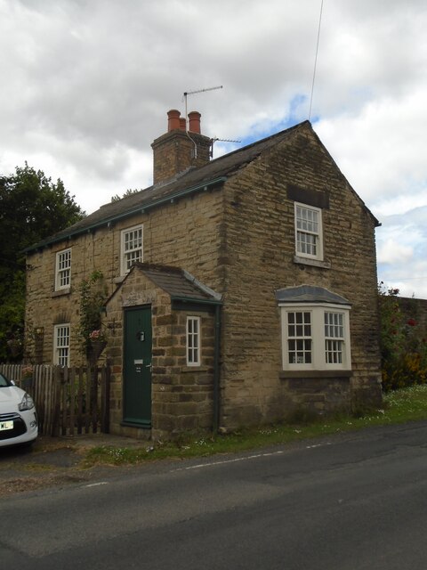
With a population of approximately 500 residents, Low Harley is known for its tight-knit community and friendly atmosphere. The village retains a traditional charm, with many historic buildings and quaint cottages lining its streets. The local architecture showcases a mix of styles, including Tudor, Georgian, and Victorian influences.
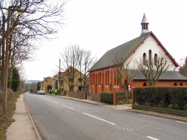
The main focal point of Low Harley is the village square, which features a beautiful parish church dating back to the 12th century. The church is a prominent landmark and serves as a gathering place for religious ceremonies and community events. The village also boasts a few local amenities, such as a small grocery store, a post office, and a cozy pub that serves as a hub for socializing.
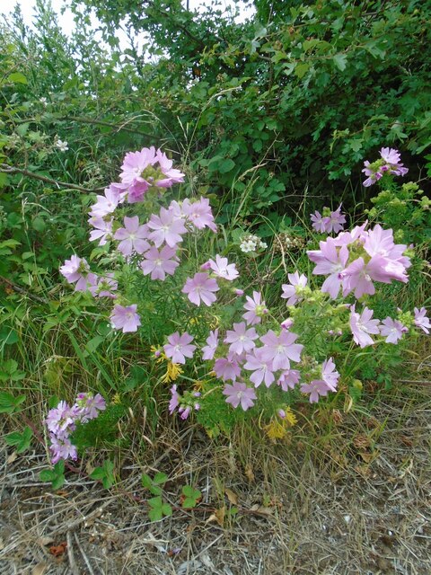
Low Harley is surrounded by stunning natural beauty, making it an ideal location for outdoor enthusiasts. The village is located near several walking trails, offering opportunities for scenic hikes and leisurely strolls. The nearby countryside is also popular for cycling and horseback riding.
Overall, Low Harley offers a peaceful and idyllic setting for residents and visitors alike, providing a charming escape from the hustle and bustle of city life.
If you have any feedback on the listing, please let us know in the comments section below.
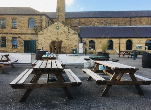
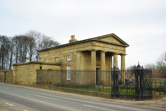
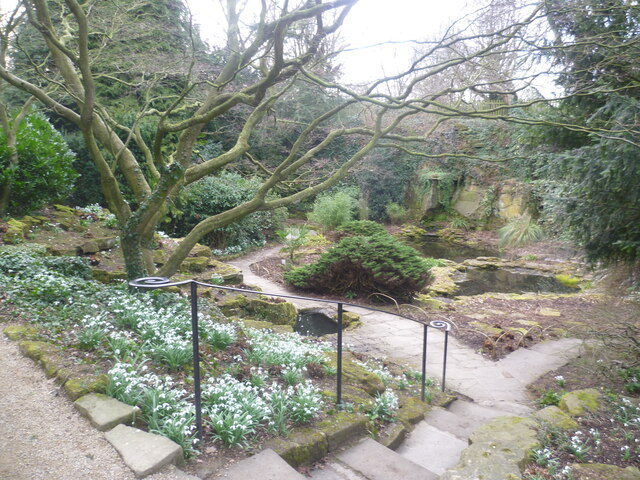
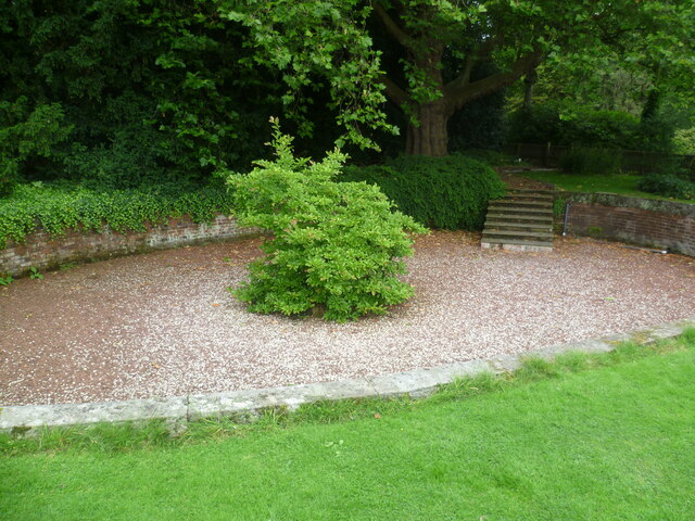
Low Harley Images
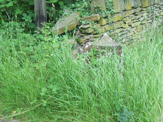
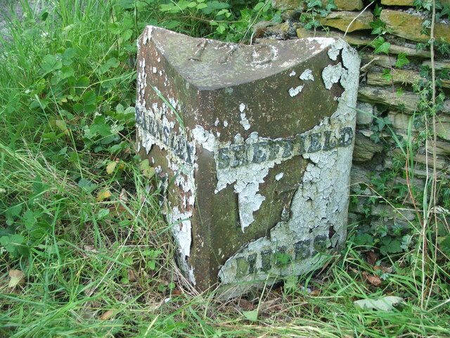
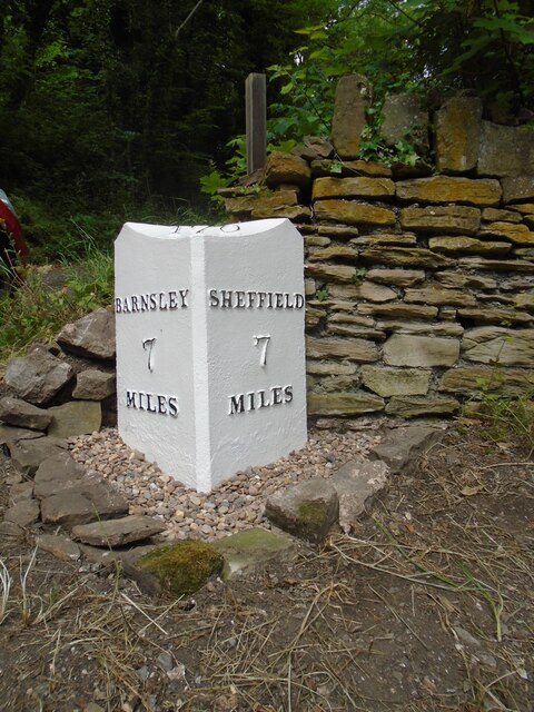
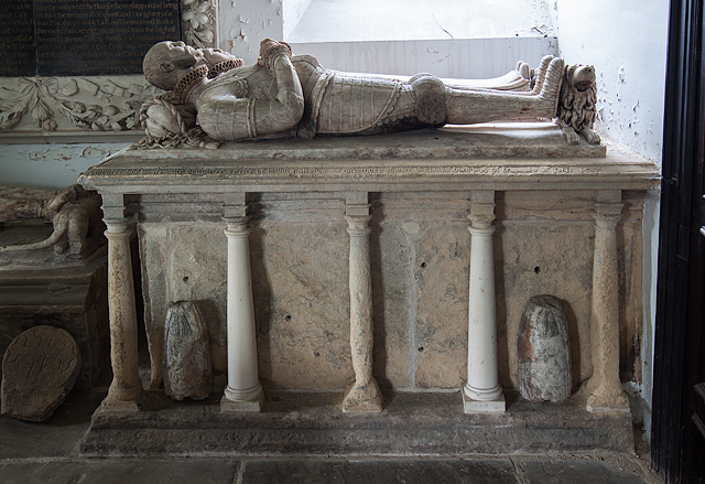
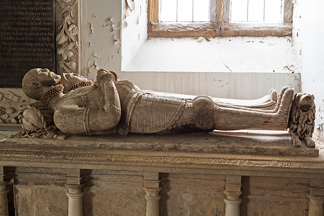
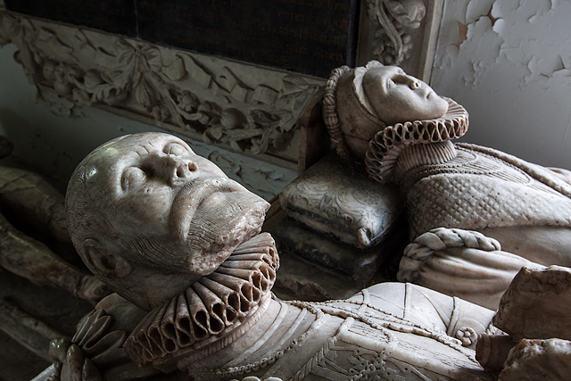
Images are sourced within 2km of 53.481265/-1.4408129 or Grid Reference SK3798. Thanks to Geograph Open Source API. All images are credited.


Low Harley is located at Grid Ref: SK3798 (Lat: 53.481265, Lng: -1.4408129)
Division: West Riding
Unitary Authority: Rotherham
Police Authority: South Yorkshire
What 3 Words
///jumpy.shun.belonging. Near Wentworth, South Yorkshire
Nearby Locations
Related Wikis
Harley, South Yorkshire
Harley is a hamlet in the civil parish of Wentworth, in the Rotherham district lying to the north of Rotherham and Sheffield, South Yorkshire, England...

Wentworth railway station
Wentworth railway station was a railway station on the Sheffield to Barnsley route of the Midland Railway. The station has been known as Wentworth and...
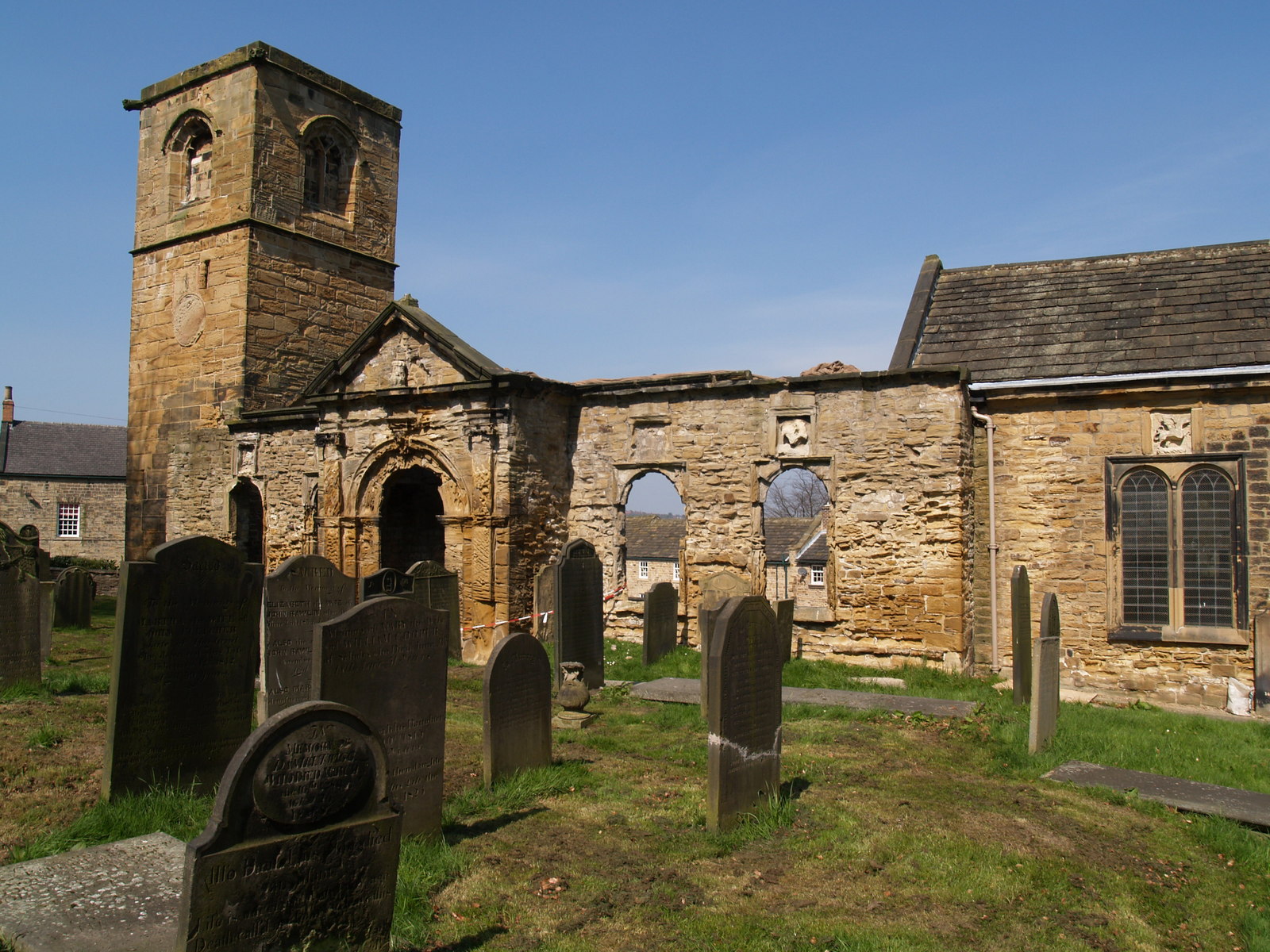
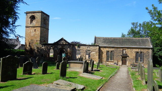
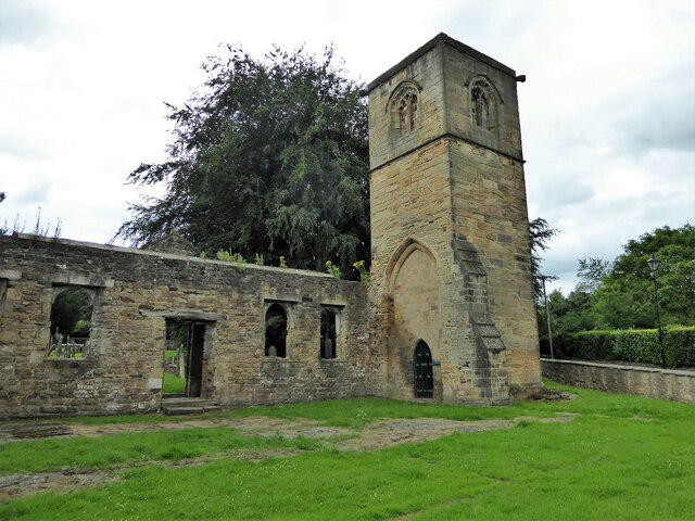
Old Holy Trinity Church, Wentworth
The Old Holy Trinity Church is a redundant Anglican church in the village of Wentworth, South Yorkshire, England. It is partly in ruins, and stands close...
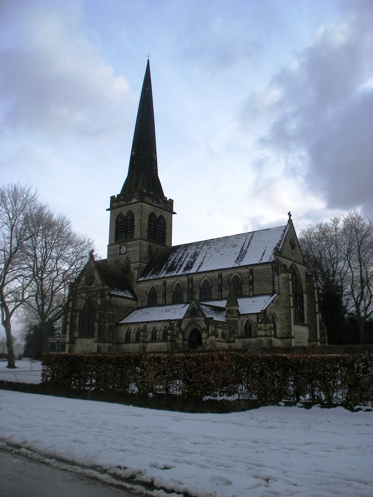
Holy Trinity Church, Wentworth
Holy Trinity Church is a Grade II* listed parish church in the Church of England in Wentworth, South Yorkshire. == History == The church was built by William...
Nearby Amenities
Located within 500m of 53.481265,-1.4408129Have you been to Low Harley?
Leave your review of Low Harley below (or comments, questions and feedback).