Lonton

Settlement in Yorkshire

England

Lonton

Rumours and Uttas Rumours coffee shop and the HQ of the Upper Teesdale Agricultural Support Services.
Rumours and Uttas Credit: Colin Kinnear

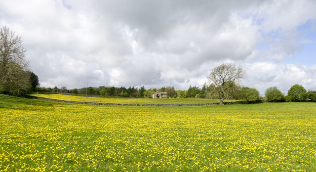
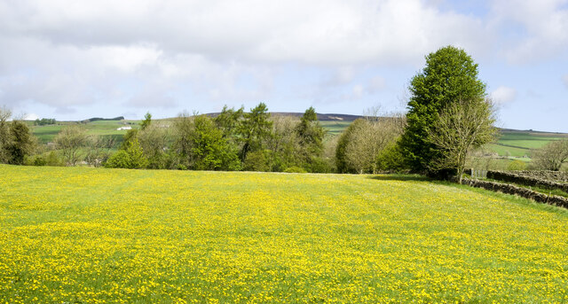
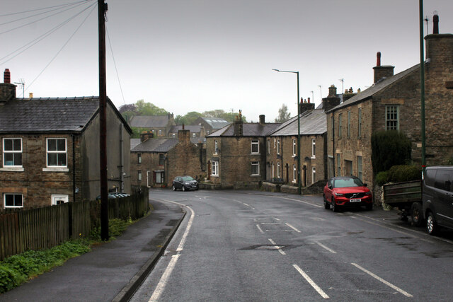
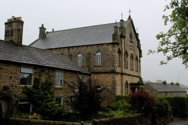
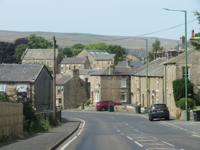
Lonton is a small village located in the county of Yorkshire, England. It is situated in the picturesque countryside, surrounded by rolling hills and lush green fields. With a population of approximately 500 residents, it is a close-knit community that thrives on its rural charm and tranquility.

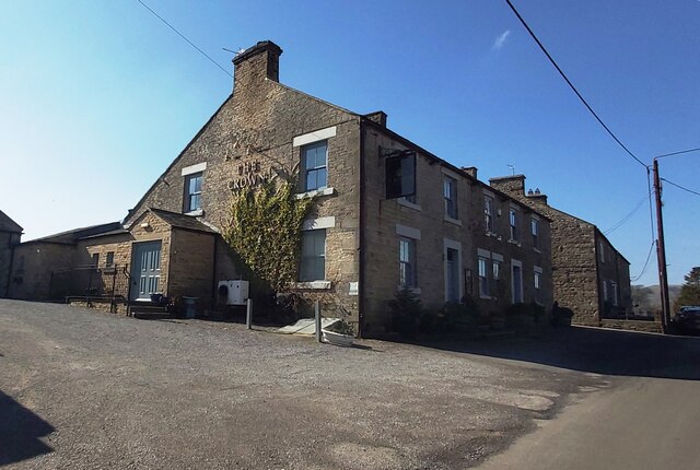
The village dates back to the medieval period, and its history can be seen through the architecture of its buildings, such as the ancient church that stands proudly in the center of town. Lonton is a quintessential English village, with charming thatched-roof cottages, narrow lanes, and a village green where locals gather for community events.

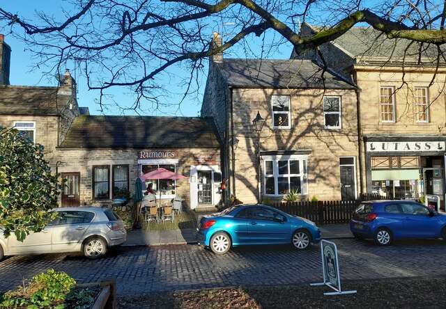
Despite its small size, Lonton offers a range of amenities for its residents. There is a village shop that caters to everyday needs, a cozy pub where locals and visitors can enjoy a pint, and a primary school that provides education to the village's children. The village also boasts a vibrant community center, which hosts various events and activities throughout the year.

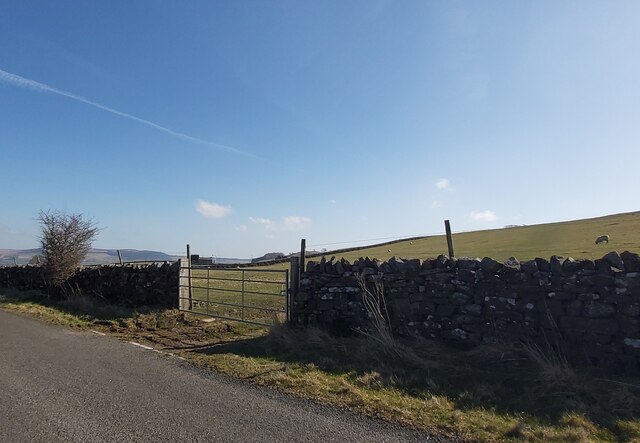
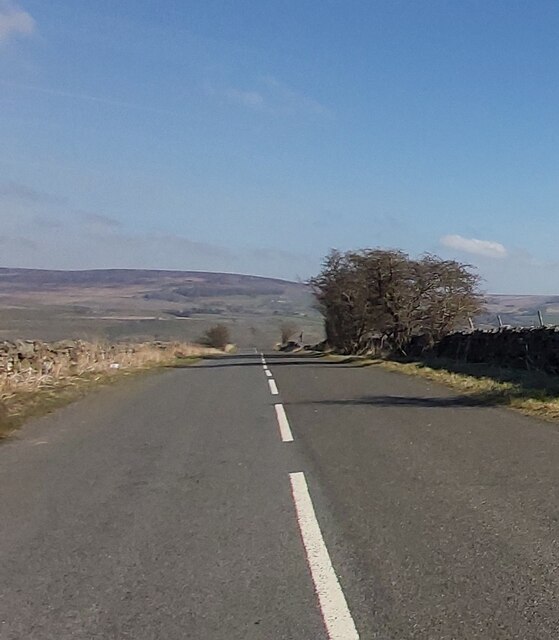
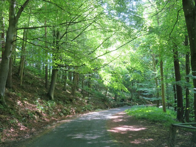
The surrounding countryside provides ample opportunities for outdoor enthusiasts. There are numerous walking and cycling trails that offer breathtaking views of the Yorkshire Dales National Park, which is just a short drive away. Lonton is also known for its proximity to several historical sites, including ancient ruins and stately homes.

Overall, Lonton offers a peaceful and idyllic lifestyle in the heart of Yorkshire's countryside. Its rich history, stunning natural beauty, and strong sense of community make it a truly special place to live or visit.

If you have any feedback on the listing, please let us know in the comments section below.
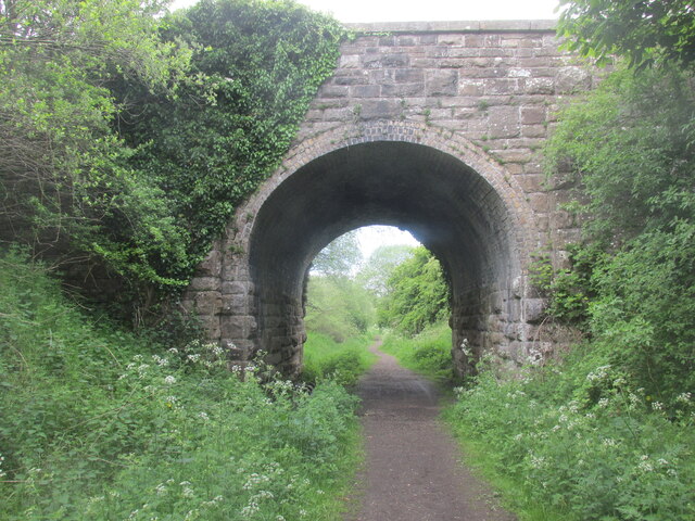
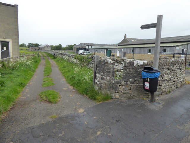
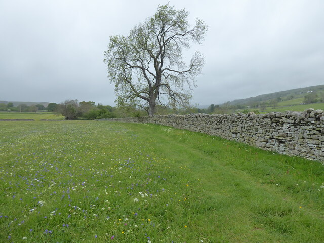
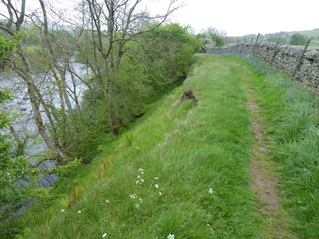
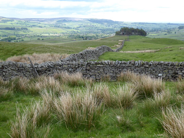
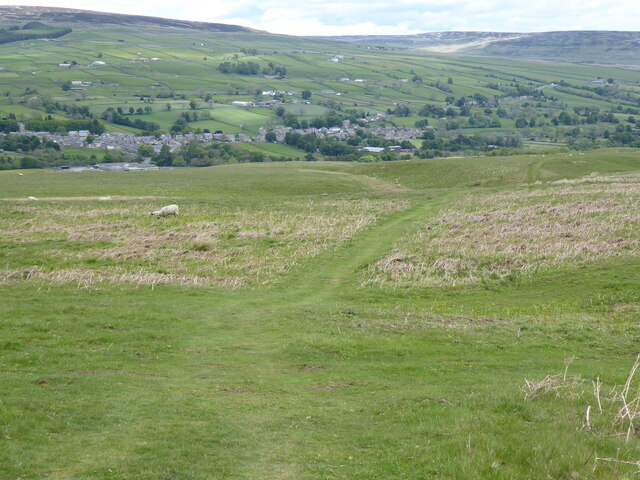
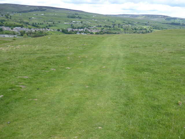
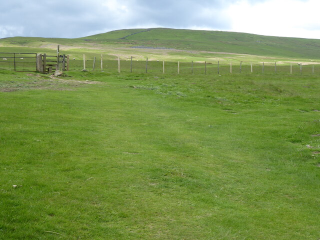
Lonton Images

Images are sourced within 2km of 54.616347/-2.0791569 or Grid Reference NY9424. Thanks to Geograph Open Source API. All images are credited.

Rumours and Uttas Rumours coffee shop and the HQ of the Upper Teesdale Agricultural Support Services.
Rumours and Uttas
Rumours coffee shop and the HQ of the Upper Teesdale Agricultural Support Services.
Gated field near Swallow Hole
The Crown Inn
The Crown Inn
West Pasture Road
West Pasture Road
Fields with dandelions Two fields in Teesdale close to Mickleton with countless dandelions among the grass.
Fields with dandelions
Two fields in Teesdale close to Mickleton with countless dandelions among the grass.
Massed dandelions in field The field is close to Mickleton and south of the River Lune as it heads towards its confluence with the Tees.
Massed dandelions in field
The field is close to Mickleton and south of the River Lune as it heads towards its confluence with the Tees.
Entering Middleton-in-Teesdale on the B6282 Entering the village on a wet day
Entering Middleton-in-Teesdale on the B6282
Entering the village on a wet day
Former Methodist Chapel, Middleton-in-Teesdale Former Primitive Methodist Church, now a private dwelling
Former Methodist Chapel, Middleton-in-Teesdale
Former Primitive Methodist Church, now a private dwelling
Bridge along the Tees railway walk. Walking back to Romaldkirk.
Bridge along the Tees railway walk.
Walking back to Romaldkirk.
The Pennine Way near Middleton-in-Teesdale
The Pennine Way near East Crossthwaite
The Pennine Way near Middle Crossthwaite
View towards Kirkcarrion from the Pennine Way
The Pennine Way near Crossthwaite Common
The Pennine Way near Middleton Quarries
The Pennine Way towards Rams Gill
Heading into Middleton in Teesdale The B6282 dropping into Middleton from the direction of Eggleston.
Heading into Middleton in Teesdale
The B6282 dropping into Middleton from the direction of Eggleston.
Road through the woods Heading south towards Middleton in Teesdale along the minor road above the Hudeshope Beck.
Road through the woods
Heading south towards Middleton in Teesdale along the minor road above the Hudeshope Beck.
Show me another place!

Lonton is located at Grid Ref: NY9424 (Lat: 54.616347, Lng: -2.0791569)

Division: North Riding

Unitary Authority: County Durham

Police Authority: Durham

What 3 Words

///forensic.ready.stacks. Near Mickleton, Co. Durham

Related Wikis

Middleton Quarry

Middleton Quarry is a Site of Special Scientific Interest in the Teesdale district of west County Durham, England. It is a disused quarry, from which...

Middleton-in-Teesdale railway station

Middleton-in-Teesdale railway station was the terminus of the Tees Valley Railway from Barnard Castle. It served the town of Middleton-in-Teesdale. The...

Laithkirk

Laithkirk is a small hamlet of three houses and a small church in County Durham, in England. All of the houses in Laithkirk are accessed by an unnamed...

Middleton-in-Teesdale

Middleton-in-Teesdale is a market town and civil parish in County Durham, England. It is in Teesdale, on the River Tees's north banks, and surrounded by...

Nearby Amenities

Located within 500m of 54.616347,-2.0791569
Middleton-in-Teesdale
Abandoned Railway: station
End Date: 1965-04-05
Railway: site
Source: npe
Start Date: 1868-05-13
Website: http://www.disused-stations.org.uk/m/middleton_in_teesdale/index.shtml
Wikidata: Q6841995
Wikipedia: en:Middleton-in-Teesdale railway station
Lat/Long: 54.6185618/-2.0842397
Lonton
Place: hamlet
Wikidata: Q117050940
Lat/Long: 54.6163103/-2.0717424
Bus Stop
Bus: yes
Naptan AtcoCode: 13007840B
Naptan Bearing: NE
Naptan CommonName: Bus stop
Naptan Indicator: north east bound
Naptan Landmark: Landmark not known
Naptan NaptanCode: durgajdp
Naptan Notes: Lonton South (farm)- B6277- Lonton- SE of Middleton-in-Teesdale
Naptan Street: Street not known
Naptan Verified: no
Public Transport: platform
Source: naptan_import
Lat/Long: 54.6158034/-2.0740058
Bus Stop
Bus: yes
Naptan AtcoCode: 13007840F
Naptan Bearing: SW
Naptan CommonName: Bus stop
Naptan Indicator: south west bound
Naptan Landmark: Landmark not known
Naptan NaptanCode: durgajdt
Naptan Notes: Lonton South (farm)- Lonton- SE of Middleton-in-Teesdale
Naptan Street: Street not known
Naptan Verified: no
Public Transport: platform
Source: naptan_import
Lat/Long: 54.6157271/-2.0742226
Moor Rigg
Natural: peak
Source: OS 1:25k
Lat/Long: 54.6135848/-2.0832397
Power: pole
Source: Bing
Lat/Long: 54.6187646/-2.0809088
Power: pole
Source: Bing
Lat/Long: 54.6192278/-2.0820166
Power: pole
Source: Bing
Lat/Long: 54.619658/-2.0830385
Material: wood
Power: pole
Source: Bing
Lat/Long: 54.6180366/-2.0751876
Material: wood
Power: pole
Source: Bing
Lat/Long: 54.6176835/-2.0721141
Power: pole
Source: Bing
Lat/Long: 54.6185235/-2.0794739
Power: pole
Source: Bing
Lat/Long: 54.6181577/-2.076738
Power: pole
Source: Bing
Lat/Long: 54.6183177/-2.0783419
Barrier: stile
Lat/Long: 54.617698/-2.0767916
Material: wood
Power: pole
Source: Bing
Lat/Long: 54.6178456/-2.0737473
Barrier: stile
Lat/Long: 54.6172133/-2.0763463
Noexit: yes
Lat/Long: 54.620613/-2.0797183
Natural: shakehole
Source: NLS-OS-NatGrid-110k-1940-60
Lat/Long: 54.6126594/-2.083246
Natural: shakehole
Source: NLS-OS-NatGrid-110k-1940-60
Lat/Long: 54.6127595/-2.0831602
Natural: shakehole
Source: NLS-OS-NatGrid-110k-1940-60
Lat/Long: 54.6128831/-2.0830314
Barrier: stile
Material: concrete
Source: survey;gps
Step Count: 6
Stile: ladder
Lat/Long: 54.6150392/-2.0736159
Barrier: stile
Stile: squeezer
Lat/Long: 54.6157154/-2.0739598
Pub
The Station
Addr City: Barnard Castle
Addr Postcode: DL12 0NG
Addr Suburb: Middleton in Teesdale
Fhrs Id: 304362
Operator: Daleview Holiday Park
Lat/Long: 54.6186726/-2.0841126
Barrier: stile
Note: Also field access track with gate
Lat/Long: 54.6158202/-2.0749595
Material: wood
Power: pole
Transformer: distribution
Lat/Long: 54.6193887/-2.0765618
Material: wood
Power: pole
Lat/Long: 54.619598/-2.0764669
Material: wood
Power: pole
Lat/Long: 54.6193995/-2.0765112
Material: wood
Power: pole
Lat/Long: 54.618737/-2.0766306
Material: wood
Power: pole
Lat/Long: 54.6182136/-2.0767352
Power: pole
Lat/Long: 54.6175357/-2.0799123
Power: pole
Lat/Long: 54.6178083/-2.079813
Power: pole
Lat/Long: 54.6184862/-2.0795059
Power: pole
Lat/Long: 54.6187929/-2.0808725
Bench
Backrest: no
Lat/Long: 54.6148562/-2.072845
Barrier: stile
Image: https://www.geograph.org.uk/photo/1974229
Material: concrete
Step Count: 8
Stile: ladder
Lat/Long: 54.6149277/-2.0736566
Waste Basket
Waste: dog_excrement
Lat/Long: 54.6202084/-2.0807693
Bench
Backrest: yes
Colour: red
Direction: 210
Inscription: In memory of Miss E Alexander Snaisgill 1982
Material: wood
Seats: 3
Lat/Long: 54.6199552/-2.0801707
Man Made: manhole
Lat/Long: 54.619503/-2.0753549
Power: pole
Lat/Long: 54.6203937/-2.0770586
Noexit: yes
Lat/Long: 54.6204464/-2.0797887
The data included in this document is from www.openstreetmap.org. The data is made available under ODbL.

Have you been to Lonton?

Leave your review of Lonton below (or comments, questions and feedback).