Longhill
Settlement in Durham
England
Longhill
Longhill is a small village located in the county of Durham, in the northeast of England. Situated approximately 5 miles north of Durham city center, Longhill is surrounded by picturesque countryside and offers a peaceful and idyllic setting for its residents.
The village itself is relatively small, with a population of around 500 people. It boasts a close-knit community, where residents often engage in various social activities and events. Longhill is known for its friendly and welcoming atmosphere, with neighbors frequently organizing gatherings and supporting local initiatives.
The landscape around Longhill is characterized by rolling hills, green fields, and charming woodlands. This makes it an ideal location for outdoor enthusiasts, who can enjoy scenic walks, cycling, and horse riding in the surrounding areas. The village also benefits from being close to the River Wear, offering opportunities for fishing and water activities.
Longhill is well-connected to nearby towns and cities, with regular bus services providing easy access to Durham and other neighboring areas. The village does not have its own primary school or shops, but there are excellent educational facilities and amenities available in nearby towns, ensuring convenience for residents.
Overall, Longhill is a picturesque and close-knit village that offers a tranquil and rural lifestyle. With its beautiful surroundings, friendly community, and convenient location, it is a desirable place to live for those seeking a peaceful retreat while still being within reach of urban amenities.
If you have any feedback on the listing, please let us know in the comments section below.
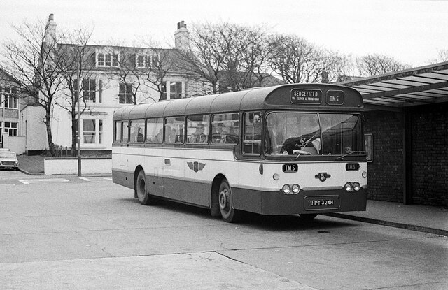
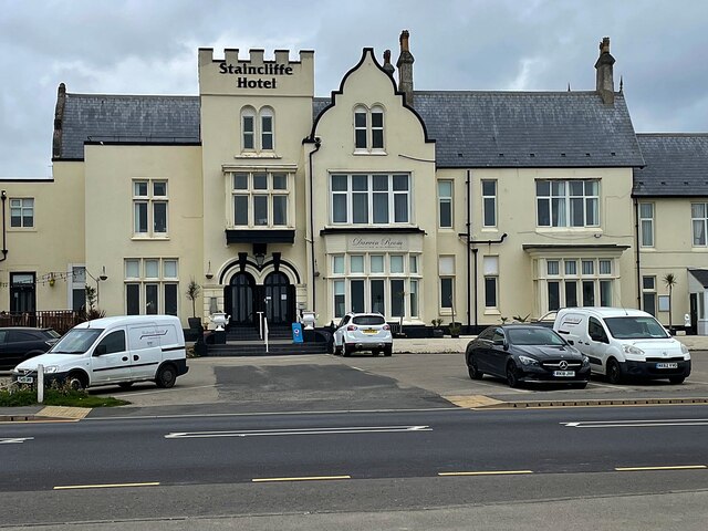
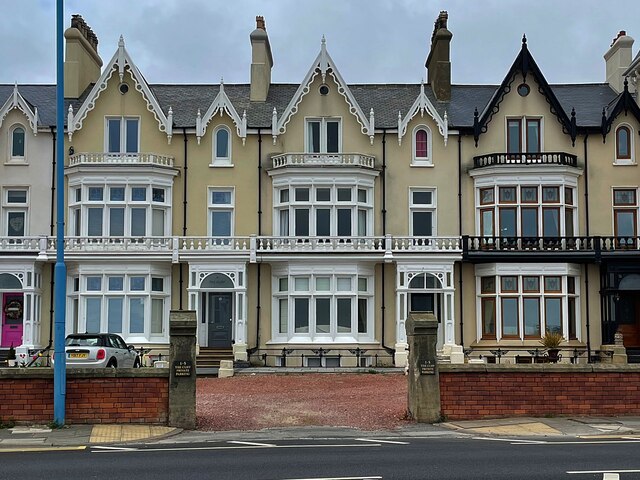
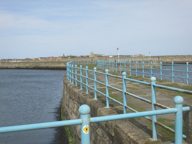
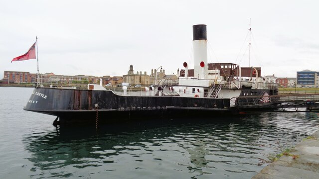
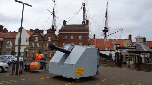
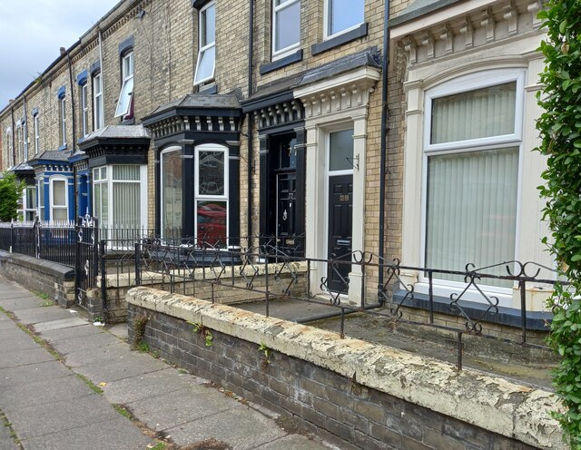
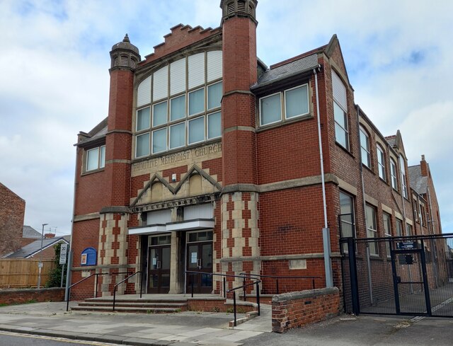
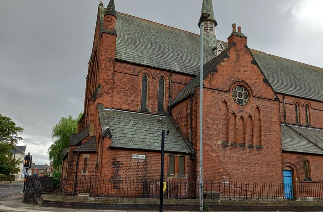
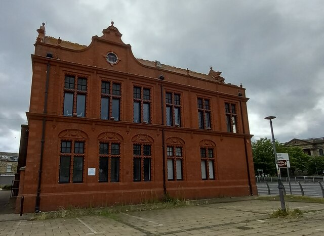
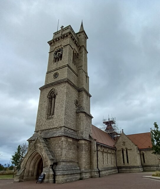
Longhill Images
Images are sourced within 2km of 54.67342/-1.2076999 or Grid Reference NZ5131. Thanks to Geograph Open Source API. All images are credited.


Longhill is located at Grid Ref: NZ5131 (Lat: 54.67342, Lng: -1.2076999)
Unitary Authority: Hartlepool
Police Authority: Cleveland
What 3 Words
///deals.lodge.bags. Near Hartlepool, Co. Durham
Nearby Locations
Related Wikis

Hartlepool Submerged Forest
Hartlepool Submerged Forest (grid reference NZ520315) is a 19.7 hectare geological Site of Special Scientific Interest in County Durham, England notified...

Hartlepool College of Further Education
Hartlepool College of Further Education is a non-denominational mixed further education college based in Hartlepool, United Kingdom, providing courses...

Middleton Grange Shopping Centre
Middleton Grange is a shopping centre in Hartlepool, England. It was built in 1969 and it was opened by Princess Anne on 27 May 1970. The site of the shopping...
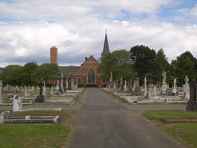
Stranton Grange Cemetery
Stranton Grange Cemetery is located in Tanfield Road, Stranton, Hartlepool. It is also the site of Hartlepool Crematorium. It opened in May 1912. It now...
Nearby Amenities
Located within 500m of 54.67342,-1.2076999Have you been to Longhill?
Leave your review of Longhill below (or comments, questions and feedback).