Longhill

Settlement in Morayshire

Scotland

Longhill

Barley, Innes Another wide verge designed to improve visibility at a crossroads. It would have been taken from the field growing barley in the background.
Barley, Innes Credit: Richard Webb

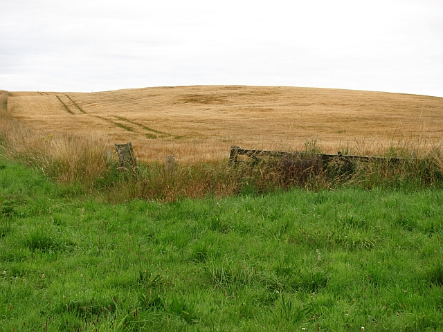
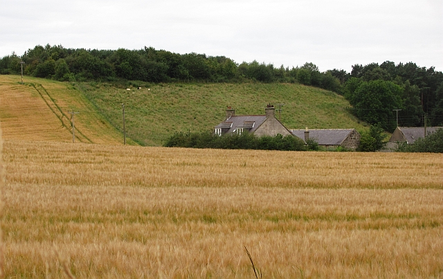
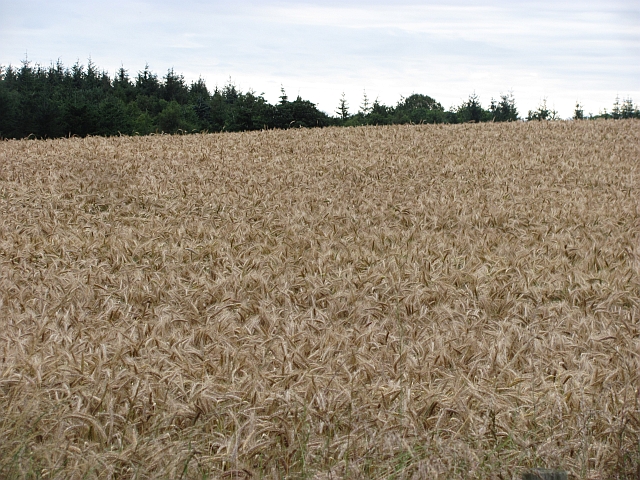
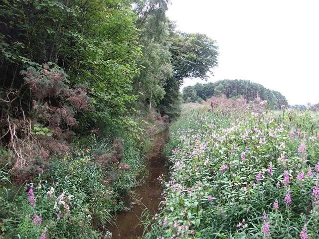
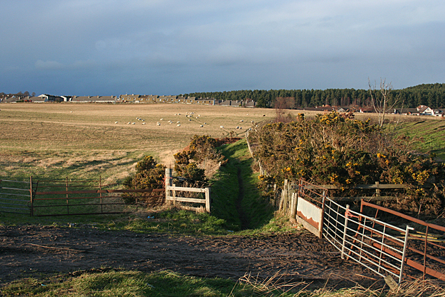
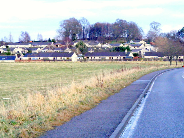
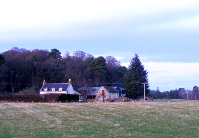
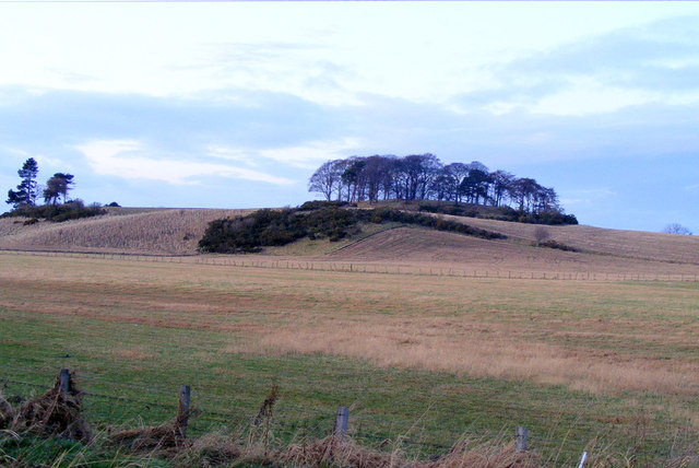
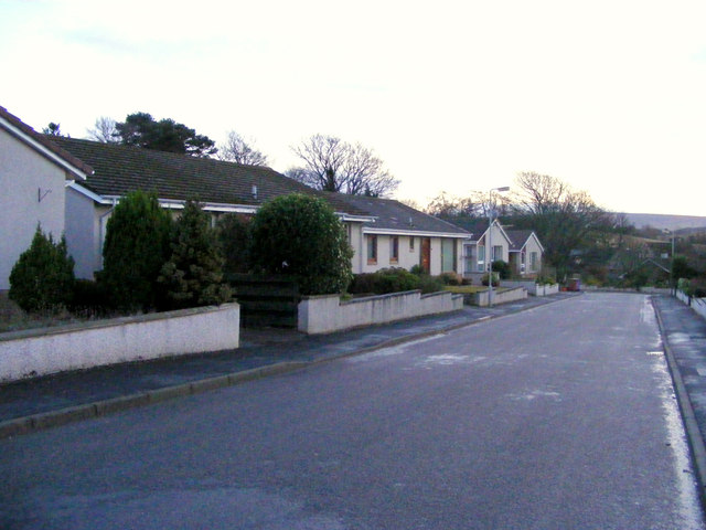
Longhill is a picturesque village located in the county of Morayshire, Scotland. Situated in the northeastern part of the country, Longhill is nestled amidst stunning natural scenery, with rolling hills, lush green meadows, and serene rivers. The village is surrounded by a tranquil and idyllic ambiance, making it a perfect destination for those seeking a peaceful retreat.

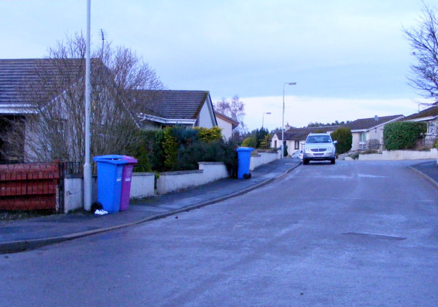
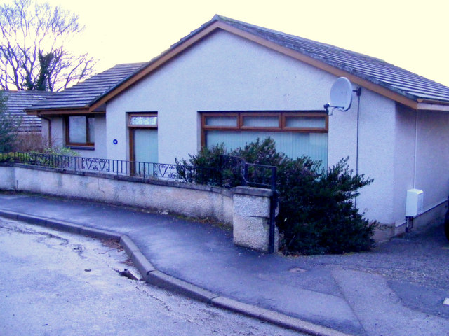
Longhill is a small community with a close-knit population. The village is known for its strong sense of community spirit, with residents often participating in various local events and activities. The friendly and welcoming nature of the people contributes to the warm atmosphere that permeates the village.

The village offers a range of amenities for its residents and visitors. There is a local grocery store that caters to daily needs, as well as a post office and a few small shops. For those looking for recreational activities, Longhill boasts several walking trails and cycling routes that showcase the area's natural beauty.

Longhill is also home to a primary school, which provides education to the local children. The village has good transport links, with regular bus services connecting it to nearby towns and cities.

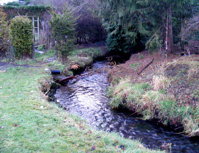
One of the notable attractions near Longhill is the picturesque River Findhorn, which offers opportunities for fishing and scenic walks along its banks. Additionally, the surrounding area is dotted with historical landmarks, such as ancient castles and ruins, providing a glimpse into the region's rich history.

Overall, Longhill is a charming village, offering a peaceful and scenic retreat for residents and visitors alike. Its natural beauty, community spirit, and range of amenities make it an appealing destination in Morayshire.

If you have any feedback on the listing, please let us know in the comments section below.
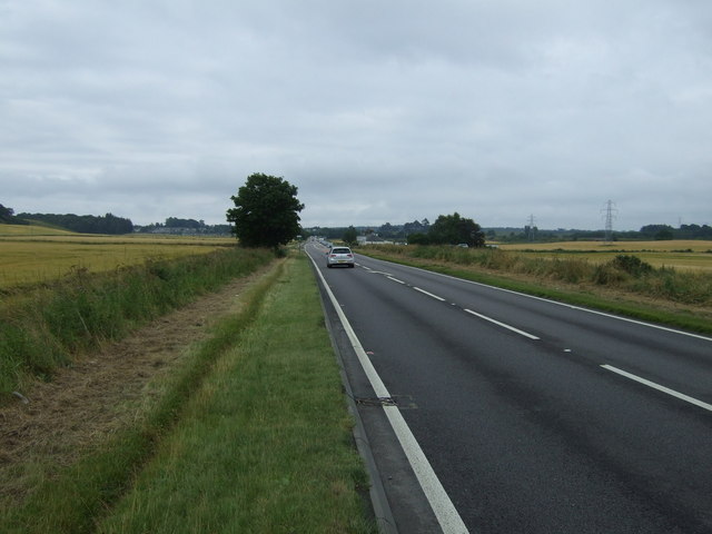
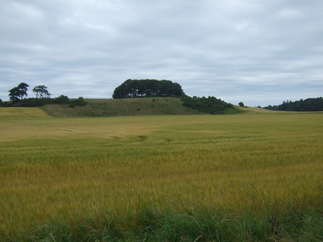
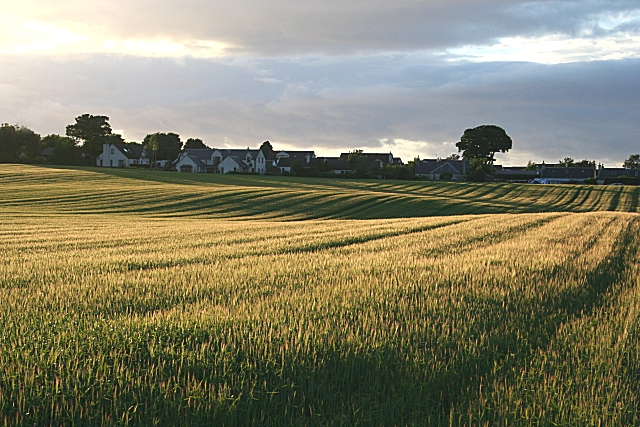
Longhill Images

Images are sourced within 2km of 57.646594/-3.2250101 or Grid Reference NJ2662. Thanks to Geograph Open Source API. All images are credited.

Barley, Innes Another wide verge designed to improve visibility at a crossroads. It would have been taken from the field growing barley in the background.
Barley, Innes
Another wide verge designed to improve visibility at a crossroads. It would have been taken from the field growing barley in the background.
Barley, Nether Meft Nether Meft is on the other side of the barley field.
Barley, Nether Meft
Nether Meft is on the other side of the barley field.
Field of barley Barley, usually grown for malting is the big crop in this area, as with all of low lying land along the East of Scotland and northeastern England.
Field of barley
Barley, usually grown for malting is the big crop in this area, as with all of low lying land along the East of Scotland and northeastern England.
Longhill Burn Most watercourses in the low lying land behind the dunes have been turned into straight and deep drains. This one is infested with Himalayan Balsam, a rapidly spreading invasive weed.
Longhill Burn
Most watercourses in the low lying land behind the dunes have been turned into straight and deep drains. This one is infested with Himalayan Balsam, a rapidly spreading invasive weed.
Path near Lhanbryde A narrow path leads round the edge of this field to the road to Garmouth. The houses are some of the housing developments in the village of Lhanbryde.
Path near Lhanbryde
A narrow path leads round the edge of this field to the road to Garmouth. The houses are some of the housing developments in the village of Lhanbryde.
Approaching Lhanbryde This village was bypassed in 1995 ,the road was previously part of the A96.
Approaching Lhanbryde
This village was bypassed in 1995 ,the road was previously part of the A96.
Woodside Farm This farm is in close proximity to Lhanbryde village.
Woodside Farm
This farm is in close proximity to Lhanbryde village.
South Darkland Hill
South Darkland Hill
Longhill Burn In Lhanbryde village.
Longhill Burn
In Lhanbryde village.
Kirkhill Drive Lhanbryde
Kirkhill Drive Lhanbryde a cul-de-sac with modern bungalows.
Kirkhill Drive Lhanbryde
a cul-de-sac with modern bungalows.
A Dwelling at Kirkhill Drive. Kirkhill drive is a cul-de-sac of modern bungalows, each one different from the rest.
A Dwelling at Kirkhill Drive.
Kirkhill drive is a cul-de-sac of modern bungalows, each one different from the rest.
Gateway to Innes House
I just had to ask ... .... what this man was doing. He explained that he is working for the charity BADA, which is devoted to the prevention of tick-borne diseases. He was using the old towel to collect ticks, and he and his colleagues showed me the dozen or two they had just collected. BADA runs an annual tick awareness week, and offers advice on avoiding tick bites, how to remove ticks if you do get bitten, and on the various diseases the tick can transmit. See <span class="nowrap"><a title="http://www.bada-uk.org/" rel="nofollow ugc noopener" href="http://www.bada-uk.org/">Link</a><img style="margin-left:2px;" alt="External link" title="External link - shift click to open in new window" src="https://s1.geograph.org.uk/img/external.png" width="10" height="10"/></span> for full details.
I just had to ask ...
.... what this man was doing. He explained that he is working for the charity BADA, which is devoted to the prevention of tick-borne diseases. He was using the old towel to collect ticks, and he and his colleagues showed me the dozen or two they had just collected. BADA runs an annual tick awareness week, and offers advice on avoiding tick bites, how to remove ticks if you do get bitten, and on the various diseases the tick can transmit. See LinkExternal link for full details.
Urquhart station (remains), 1988 View westward, towards Elgin: ex-GNSR Coast Line, Cairnie Junction - Buckie - Elgin, closed 6/5/68. Its use 20 years later is uncertain, but it seems someone lives here. In 2014 the surroundings are very different, with many new houses large and small.
Urquhart station (remains), 1988
View westward, towards Elgin: ex-GNSR Coast Line, Cairnie Junction - Buckie - Elgin, closed 6/5/68. Its use 20 years later is uncertain, but it seems someone lives here. In 2014 the surroundings are very different, with many new houses large and small.
Sherrifston
Sherrifston
A96 heading south east Towards Keith.
A96 heading south east
Towards Keith.
Crop field, South Darkland
Show me another place!

Longhill is located at Grid Ref: NJ2662 (Lat: 57.646594, Lng: -3.2250101)

Unitary Authority: Moray

Police Authority: North East

What 3 Words

///estimate.difficult.behind. Near Lhanbryde, Moray

Nearby Locations

Darkland Longhill

Related Wikis

Lhanbryde

Lhanbryde (Gaelic: Lann Brìghde) is a village that lies 4 miles (6.4 km) east of Elgin in Moray, Scotland. Previously bisected by the A96, it was bypassed...

Lhanbryde railway station

Lhanbryde railway station served the village of Lhanbryde, Moray, Scotland from 1858 to 1964 on the Inverness and Aberdeen Junction Railway. == History... ==

Urquhart, Moray

Urquhart ( ; Scottish Gaelic: Urchard) is a small village in Moray, Scotland. It is approximately 5 miles (8 km) east of Elgin, between the villages of...

Urquhart railway station

Urquhart railway station was a railway station serving the village of Urquhart, parish of Urquhart, Moray. The railway station was opened by the Great...

Urquhart Priory

Urquhart Priory was a Benedictine monastic community in Moray; the priory was dedicated to the Holy Trinity. It was founded by King David I of Scotland...

Coxton Tower

Coxton Tower is a late sixteenth-century tower house in Moray, Scotland. Heavily fortified, it was built around 1590, with substantive repairs in 1635...

Calcots railway station

Calcots railway station was a railway station in the parish of St Andrews-Lhanbryd, Moray. The railway station was opened by the Great North of Scotland...

RAF Milltown

Royal Air Force Milltown or RAF Milltown is a former Royal Air Force station located south of the Moray Firth and 3.6 miles (5.8 km) north east of Elgin...

Related Videos

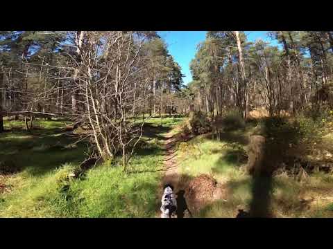
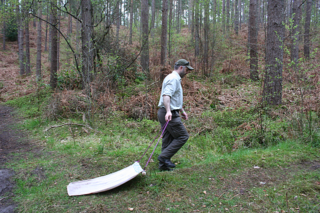
Lhanbryde Woodland Canicross Loop

Me and Orla on our local loop.

Fochabers Fiddlers Play ‘Rory MacLeod’, ‘The Jig o’ Slurs’ and Allan MacPherson of Mosspark.

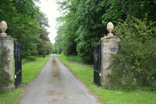
Fochabers Fiddlers play a set of Jigs - 'Rory MacLeod', 'The Jig o' Slurs' and 'Allan MacPherson of Mosspark' at Innes House.

Brave Hard - Elgin. Even Shorte, Even Better. Seagull spectator!!!

Brave Hard - Scotland - Freedom Even shorter, even better!!! Guys, this time, we testing 350 meters track. I thought I'll be on my ...

Music of the Night

Music of the Night is a lovely haunting piece by composer Andrew Lloyd Webber from his popular musical, Phantom of the Opera.

Have you been to Longhill?

Leave your review of Longhill below (or comments, questions and feedback).