Long Reach

Settlement in Kent Dartford

England

Long Reach

Apartment block beside Fastrack dedicated bus route For details see <span class="nowrap"><a title="https://www.go-fastrack.co.uk/" rel="nofollow ugc noopener" href="https://www.go-fastrack.co.uk/">Link</a><img style="margin-left:2px;" alt="External link" title="External link - shift click to open in new window" src="https://s1.geograph.org.uk/img/external.png" width="10" height="10"/></span>
Apartment block beside Fastrack dedicated bus route Credit: David Martin

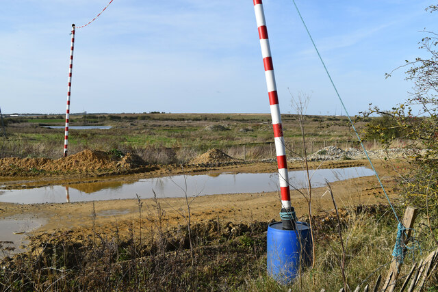
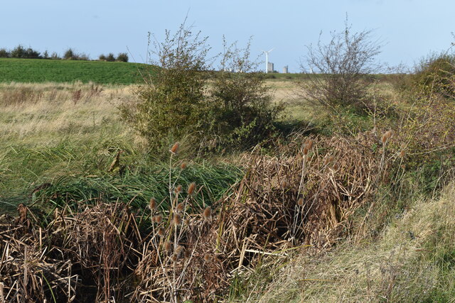
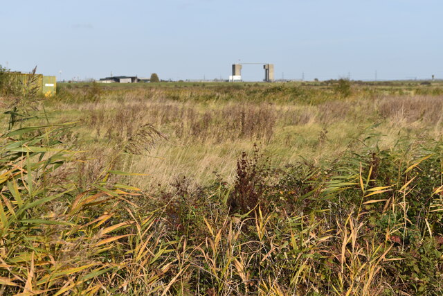
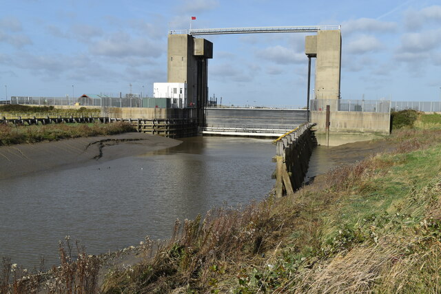
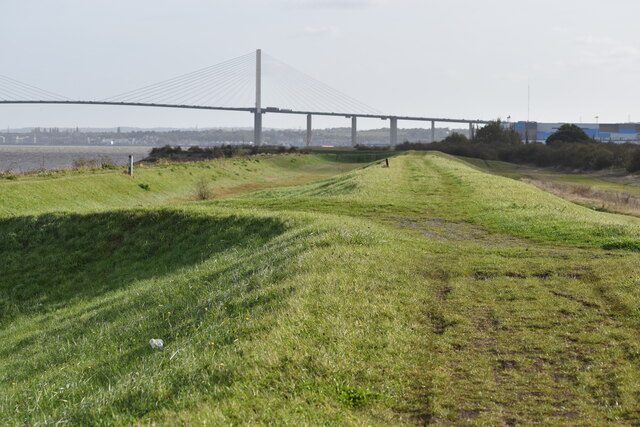
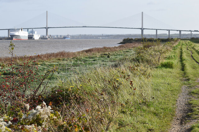
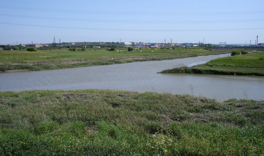
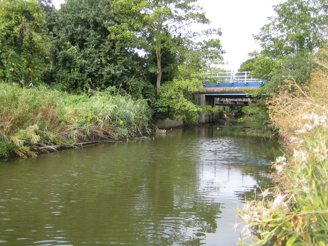
Long Reach is a small village located in the district of Kent, England. Situated in the southeast region of the country, it is part of the civil parish of St. Mary Hoo. Long Reach is positioned on the eastern bank of the River Medway, offering picturesque views of the surrounding countryside and waterways.

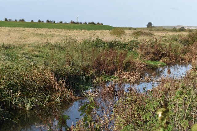
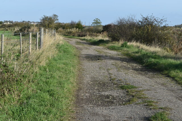
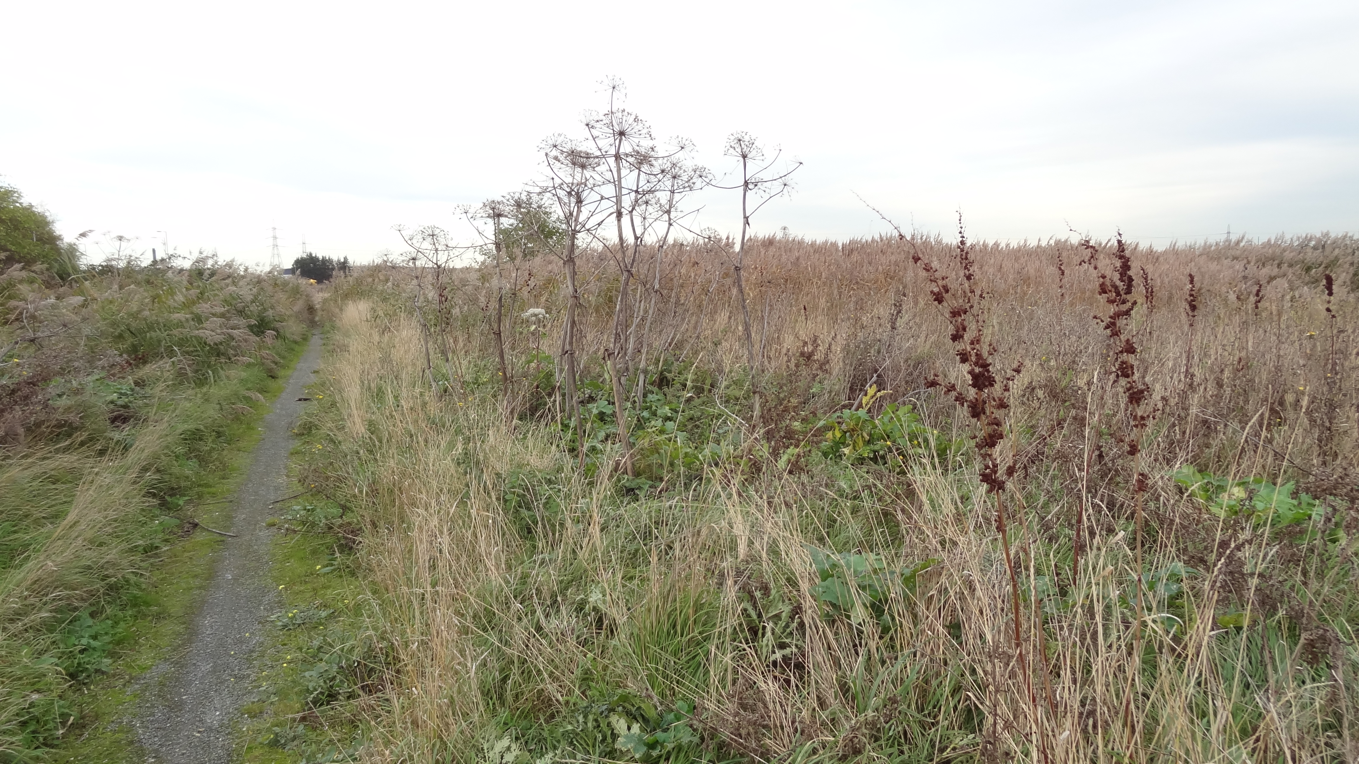
The village is known for its tranquil and idyllic atmosphere, making it a popular destination for those seeking a peaceful retreat away from the bustling cities. Its rural setting provides ample opportunities for outdoor activities such as walking, cycling, and fishing, with the nearby marshes serving as a haven for birdwatchers.

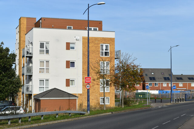
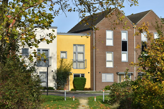
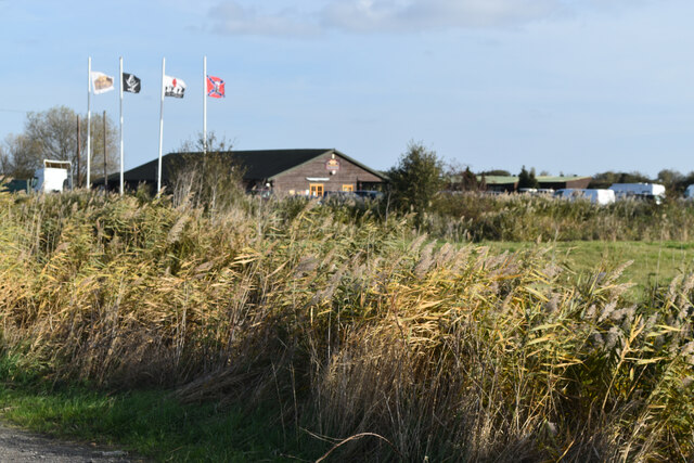
Long Reach is home to a close-knit community, with a small population residing in charming cottages and traditional English homes. The village boasts a local pub, The Long Reach, which serves as a gathering spot for residents and visitors alike. Additionally, there is a primary school and a church, both playing an integral role in the community.

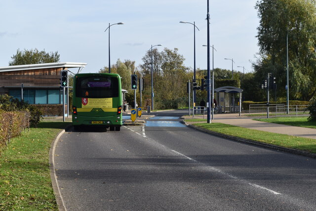
Despite its serene ambiance, Long Reach is conveniently located near major transport links. The A228 road runs through the village, connecting it to nearby towns such as Rochester and Gravesend. The nearby rail stations of Higham and Strood provide easy access to London and other major cities.

In summary, Long Reach is a quaint village nestled in the heart of Kent, offering a peaceful escape with its scenic landscapes, community spirit, and proximity to both nature and urban centers.

If you have any feedback on the listing, please let us know in the comments section below.
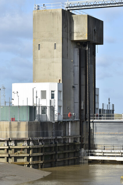
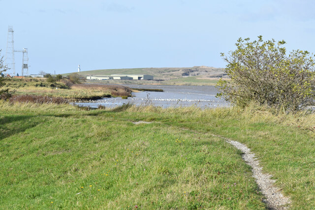
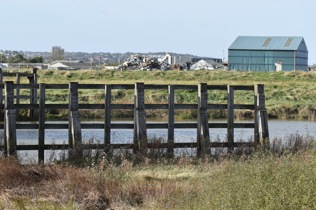
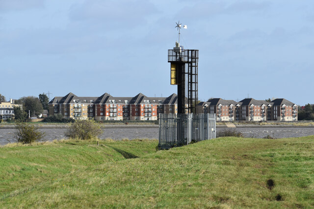
Long Reach Images

Images are sourced within 2km of 51.477682/0.2226921 or Grid Reference TQ5477. Thanks to Geograph Open Source API. All images are credited.

Apartment block beside Fastrack dedicated bus route For details see <span class="nowrap"><a title="https://www.go-fastrack.co.uk/" rel="nofollow ugc noopener" href="https://www.go-fastrack.co.uk/">Link</a><img style="margin-left:2px;" alt="External link" title="External link - shift click to open in new window" src="https://s1.geograph.org.uk/img/external.png" width="10" height="10"/></span>
Apartment block beside Fastrack dedicated bus route
For details see LinkExternal link
Fastrack bus route at junction with Marsh Street North For details see <span class="nowrap"><a title="https://www.go-fastrack.co.uk/" rel="nofollow ugc noopener" href="https://www.go-fastrack.co.uk/">Link</a><img style="margin-left:2px;" alt="External link" title="External link - shift click to open in new window" src="https://s1.geograph.org.uk/img/external.png" width="10" height="10"/></span>
Fastrack bus route at junction with Marsh Street North
For details see LinkExternal link
Byway passing office building at The Bridge
Modern housing in Brunel Way
Houses in Brunel Way, seen from footpath
Drainage ditch beside Joyce Green Lane
Sand and gravel quarrying beside Joyce Green Lane
Ditch and marshland beside Joyce Green Lane The grassy bank on the left is the flood bank beside Dartford Creek, which is not accessible from Joyce Green Lane.
Ditch and marshland beside Joyce Green Lane
The grassy bank on the left is the flood bank beside Dartford Creek, which is not accessible from Joyce Green Lane.
Dartford Marshes View across the marshes to the Dartford Creek Barrier, seen from a bend in Joyce Green Lane.
Dartford Marshes
View across the marshes to the Dartford Creek Barrier, seen from a bend in Joyce Green Lane.
Dartford Creek Flood Barrier The barrier was closed due to an approaching high tide, with the river level in the Thames already a couple of metres above that in the Darent.
Dartford Creek Flood Barrier
The barrier was closed due to an approaching high tide, with the river level in the Thames already a couple of metres above that in the Darent.
West tower of Dartford Creek Flood Barrier A guillotine-style barrier with two moving sections lowered on chains into the river, protecting Dartford Creek and surrounding areas from high water levels in the Thames beyond.
West tower of Dartford Creek Flood Barrier
A guillotine-style barrier with two moving sections lowered on chains into the river, protecting Dartford Creek and surrounding areas from high water levels in the Thames beyond.
Footpath at mouth of the River Darent, with distant view of the Thames
Dartford Creek, just below the flood barrier
Beacon at the mouth of Dartford Creek The riverside apartments are at Purfleet on the opposite bank of the Thames.
Beacon at the mouth of Dartford Creek
The riverside apartments are at Purfleet on the opposite bank of the Thames.
On the Thames flood bank at Dartford Marshes The grass bank is part of the Thames flood protection system. The Queen Elizabeth II Bridge is in the distance.
On the Thames flood bank at Dartford Marshes
The grass bank is part of the Thames flood protection system. The Queen Elizabeth II Bridge is in the distance.
Track on Dartford Marshes
Shooting range on Dartford Marshes
Path beside the Thames, looking to Queen Elizabeth II Bridge
Show me another place!

Long Reach is located at Grid Ref: TQ5477 (Lat: 51.477682, Lng: 0.2226921)

Administrative County: Kent

District: Dartford

Police Authority: Kent

What 3 Words

///gain.belly.moods. Near Purfleet, Essex

Nearby Locations

Long Reach

Related Wikis

River Darent

The Darent is a Kentish tributary of the River Thames and takes the waters of the River Cray as a tributary in the tidal portion of the Darent near Crayford...

Mardyke (river)

The Mardyke (sometimes, but less frequently, Mar Dyke, occasionally Mardike) is a small river, mainly in Thurrock, that flows into the River Thames at...

Purfleet railway station

Purfleet railway station is on the London, Tilbury and Southend line serving the town of Purfleet, Essex. It is 16 miles 2 chains (25.8 km) down the line...

Harris Academy Riverside

Harris Academy Riverside is a coeducational secondary school and sixth form located in the Purfleet in the Thurrock unitary authority, Essex, England....

Rainham Marshes Nature Reserve

Rainham Marshes is an RSPB nature reserve in the east of London, adjacent to the Thames Estuary in Purfleet, Thurrock and the London Borough of Havering...

Long Reach sewage treatment works

The Long Reach sewage treatment works is located in Dartford, Kent adjacent to the River Thames. It treats the sewage from a population of 837,000 in a...

Joyce Green Hospital

Joyce Green Hospital was a hospital near Dartford, Kent, England. It opened in 1903 as an isolation hospital. In later years it was a training hospital...

Joyce Green, Kent

Joyce Green is an area of Dartford in Kent, England. The former Joyce Green Hospital and Royal Flying Corps Station Joyce Green used to be in the area...

Nearby Amenities

Located within 500m of 51.477682,0.2226921
Note: There is a gate here, but seems to be normally left open. It has a step built on to it so can be climbed over even if closed
Lat/Long: 51.4779839/0.2210679
The Dartford Creek Barrier
Board Type: sight
Check Date: 2023-06-01
Information: board
Operator: Environment Agency
Tourism: information
Wheelchair: no
Lat/Long: 51.4789059/0.2173776
Man Made: beacon
Note: Light which flashes when the Dartford Creek Barrier is closed to indicate that vessels will be unable to pass through
Operator: Environment Agency
Lat/Long: 51.4793166/0.2200189
Seamark Light Colour: green
Seamark Type: light_minor
Lat/Long: 51.4781102/0.2164845
Seamark Light Colour: green
Seamark Type: light_minor
Lat/Long: 51.4783965/0.2164041
Seamark Light Colour: red
Seamark Type: light_minor
Lat/Long: 51.4784681/0.2168638
Seamark Light Colour: red
Seamark Type: light_minor
Lat/Long: 51.4781173/0.2169328
Seamark Light Colour: red
Seamark Type: light_minor
Lat/Long: 51.4793486/0.2200133
The data included in this document is from www.openstreetmap.org. The data is made available under ODbL.

Have you been to Long Reach?

Leave your review of Long Reach below (or comments, questions and feedback).