Llanddewi Skirrid
Settlement in Monmouthshire
Wales
Llanddewi Skirrid
The requested URL returned error: 429 Too Many Requests
If you have any feedback on the listing, please let us know in the comments section below.
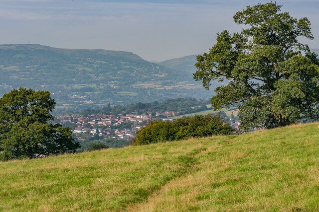
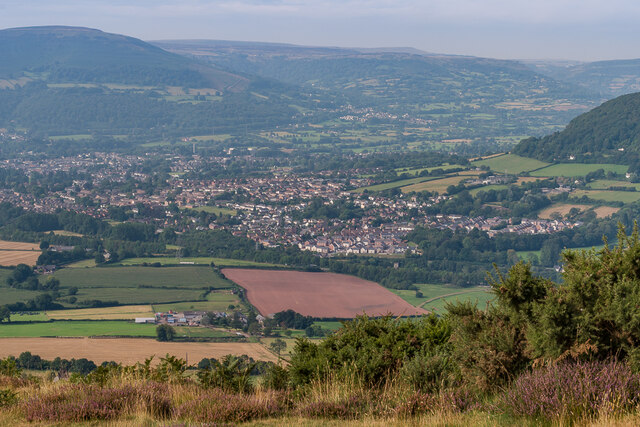
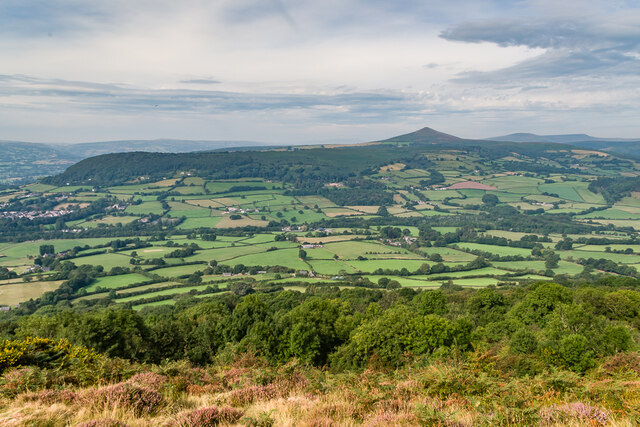
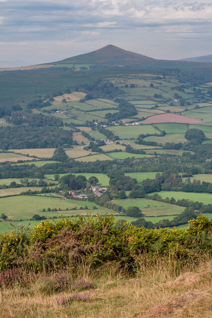
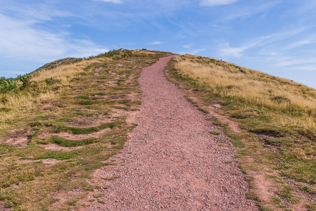
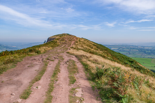
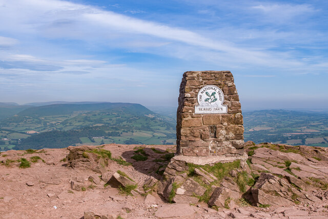
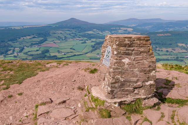
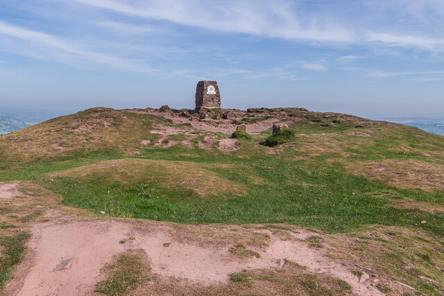
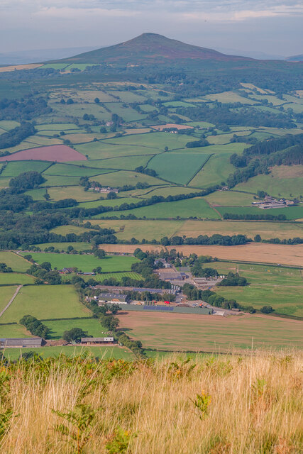
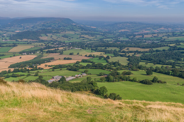
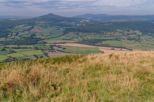
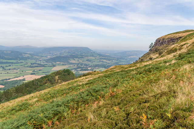
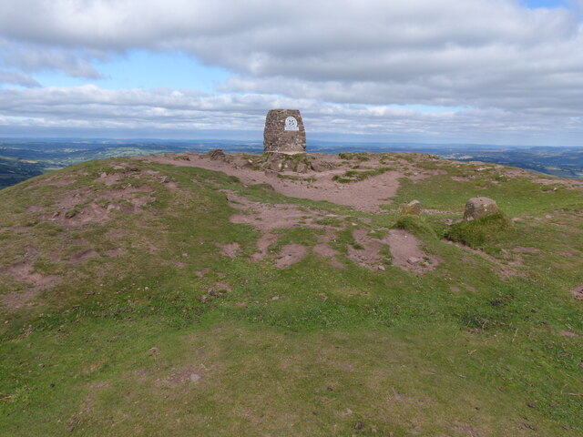
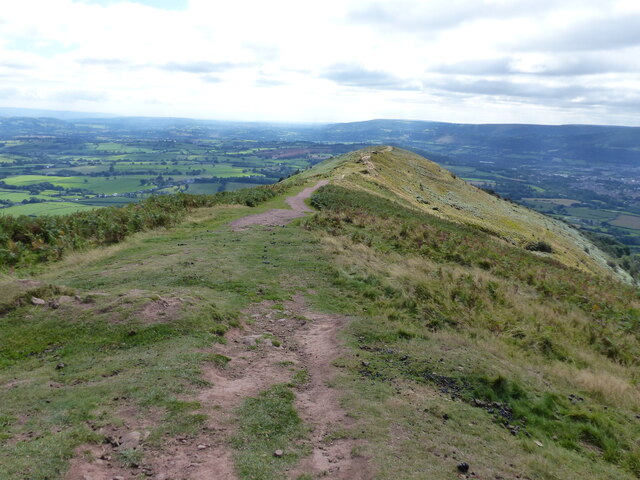
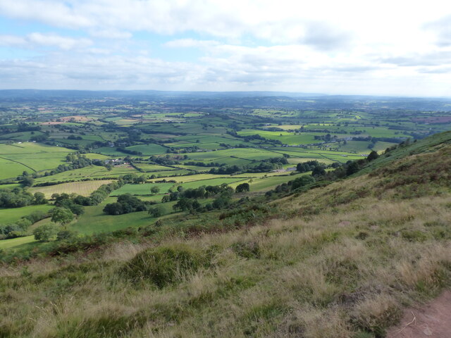
Llanddewi Skirrid Images
Images are sourced within 2km of 51.846452/-2.9554966 or Grid Reference SO3416. Thanks to Geograph Open Source API. All images are credited.
Llanddewi Skirrid is located at Grid Ref: SO3416 (Lat: 51.846452, Lng: -2.9554966)
Unitary Authority: Monmouthshire
Police Authority: Gwent
What 3 Words
///deprives.repayment.expiring. Near Abergavenny, Monmouthshire
Nearby Locations
Related Wikis
Llanddewi Skirrid
Llanddewi Skirrid (Welsh: Llanddewi Ysgyryd) is a village in Monmouthshire, south east Wales, United Kingdom. == Location == Llanddewi Skirrid is located...

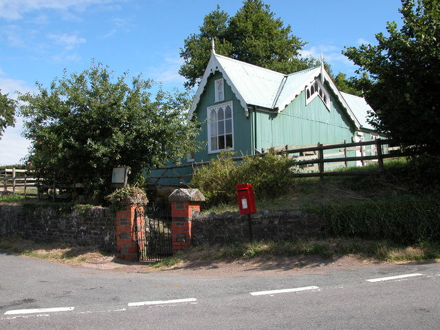
St David's Church, Llanddewi Skirrid
The Church of St David stands in the parish of Llanddewi Skirrid, Monmouthshire, Wales. The church was Grade II listed in 1956 as an example of John Prichard...
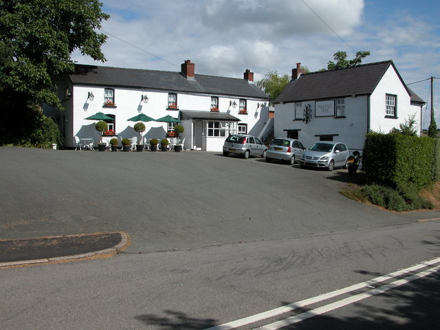
The Walnut Tree (restaurant)
The Walnut Tree is a restaurant in Llanddewi Skirrid, Monmouthshire, Wales. It is run by chef Shaun Hill and holds a Michelin star. It was previously owned...

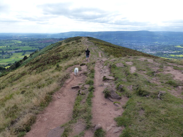
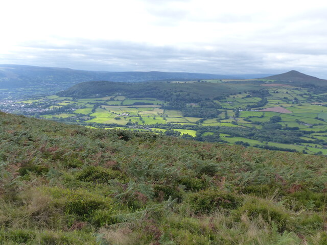
Skirrid Fawr
Skirrid Fawr (Welsh: Ysgyryd Fawr , Welsh pronunciation: [ɐsˈɡɐɾɪd ˈvæuɾ]), often referred to as just the Skirrid, is an easterly outlier of the Black...
Nearby Amenities
Located within 500m of 51.846452,-2.9554966Have you been to Llanddewi Skirrid?
Leave your review of Llanddewi Skirrid below (or comments, questions and feedback).