Little Bolas
Settlement in Shropshire
England
Little Bolas
Little Bolas is a small village located in the county of Shropshire, England. Situated approximately 4 miles east of the market town of Newport, it is nestled in the countryside and surrounded by picturesque landscapes. The village is part of the civil parish of Bolas Magna.
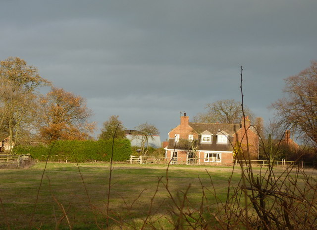
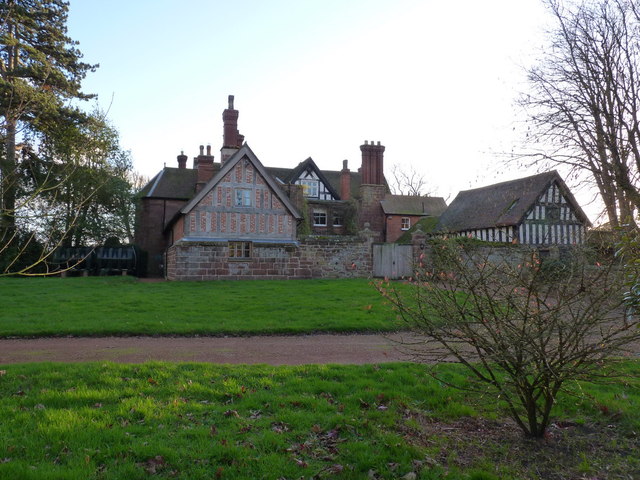
With a population of around 300 residents, Little Bolas is known for its tranquility and rural charm. The village consists of a collection of traditional stone cottages, some of which date back several centuries, giving it a timeless feel. The architecture reflects the rich history of the area, with buildings displaying a mix of Tudor, Georgian, and Victorian styles.
Little Bolas boasts a close-knit community atmosphere, with many residents actively involved in local events and initiatives. The village features a historic church, St. John the Baptist, which has stood for centuries and serves as a focal point for religious ceremonies and community gatherings. Additionally, there is a village hall that serves as a venue for various social activities and events throughout the year.
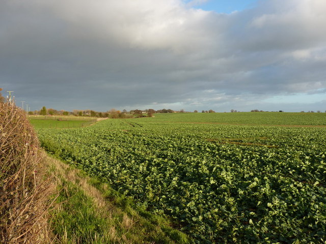
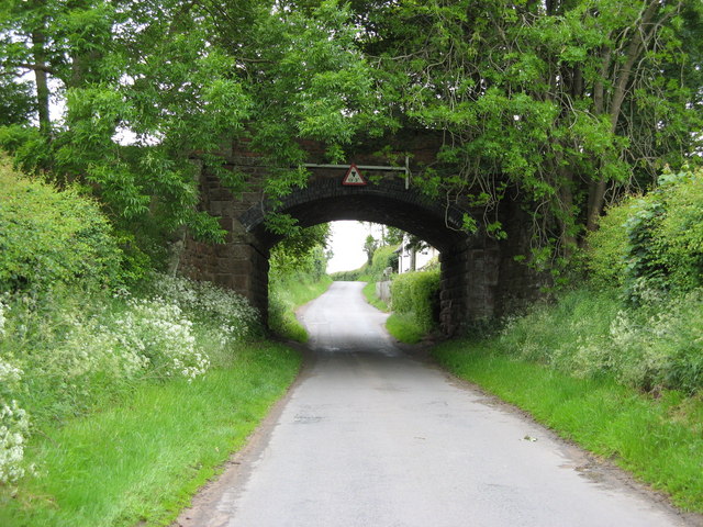
Surrounded by rolling hills and farmland, Little Bolas offers ample opportunities for outdoor activities and exploration. The nearby Shropshire countryside provides beautiful walking and cycling routes, allowing residents and visitors to immerse themselves in nature. The village is also within close proximity to several notable attractions, including the Ironbridge Gorge World Heritage Site and the medieval town of Shrewsbury.
In summary, Little Bolas is a small, idyllic village in Shropshire, known for its peaceful ambiance, charming architecture, and strong sense of community. Its rural setting and proximity to historical landmarks make it an attractive destination for those seeking a tranquil escape.
If you have any feedback on the listing, please let us know in the comments section below.
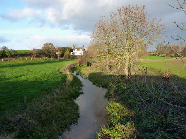
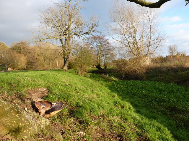
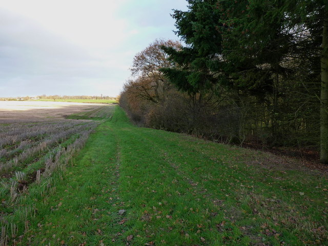
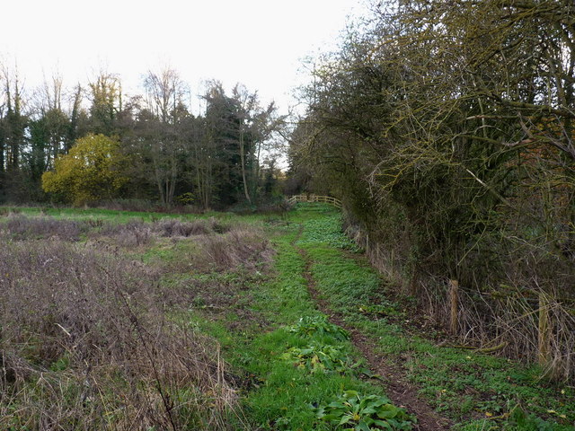
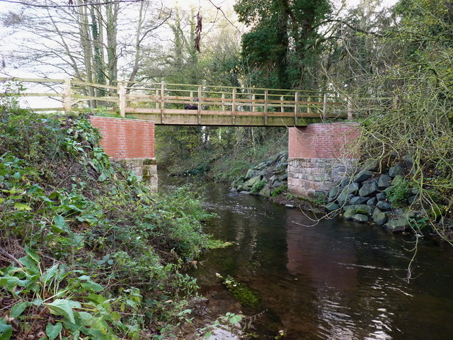
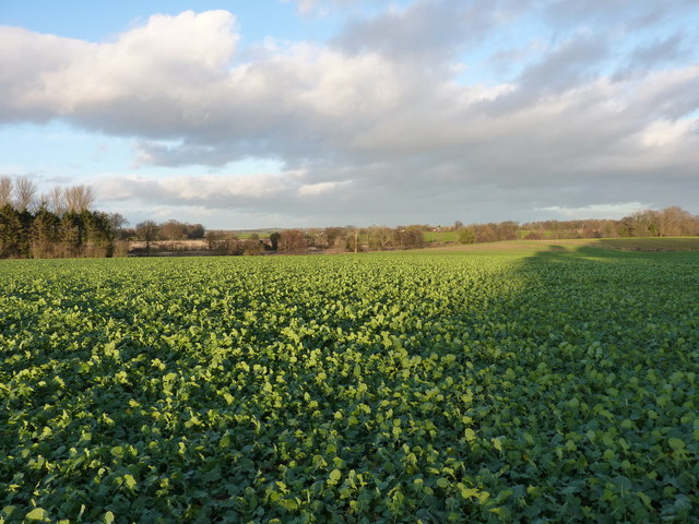
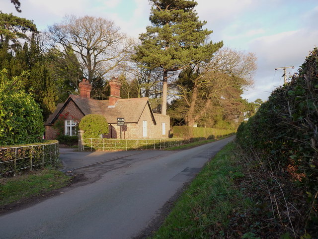
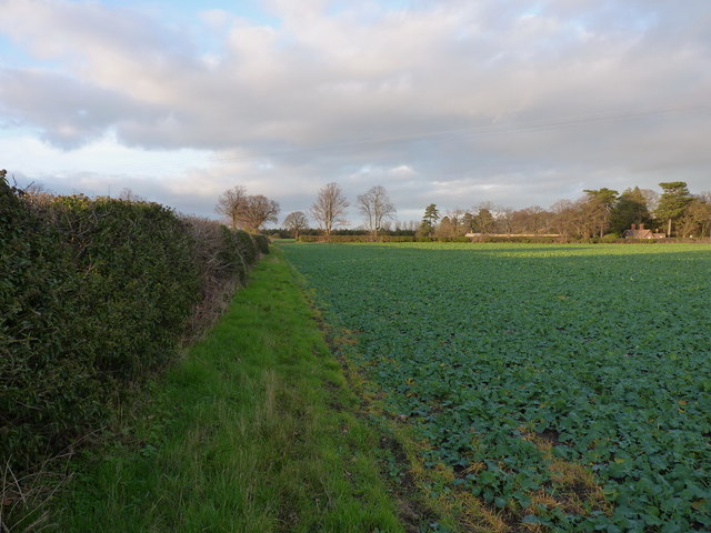
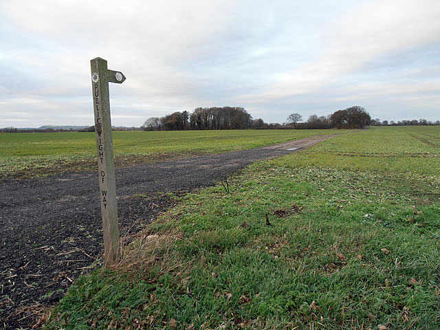
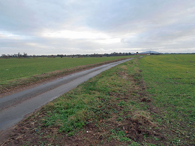
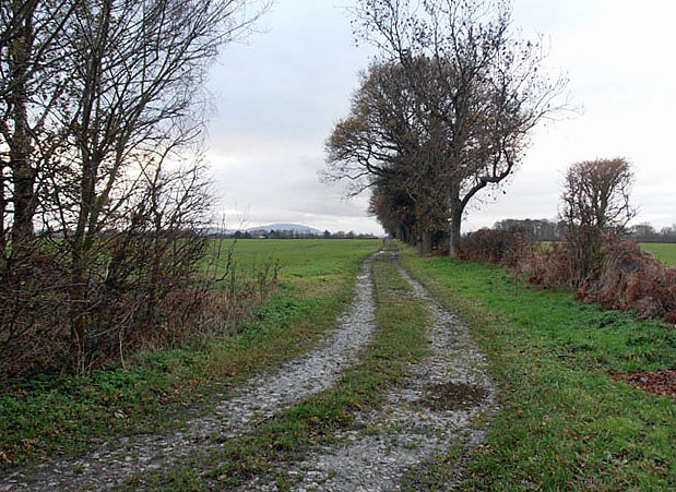
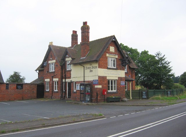
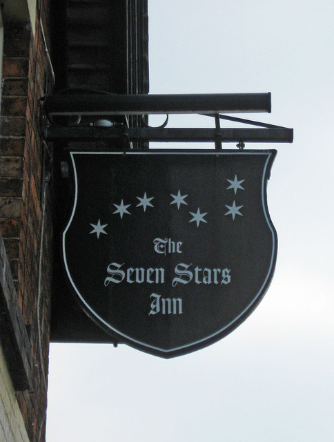
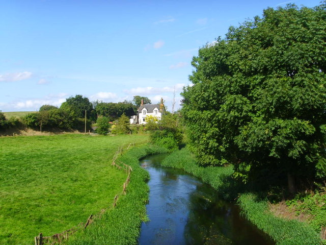
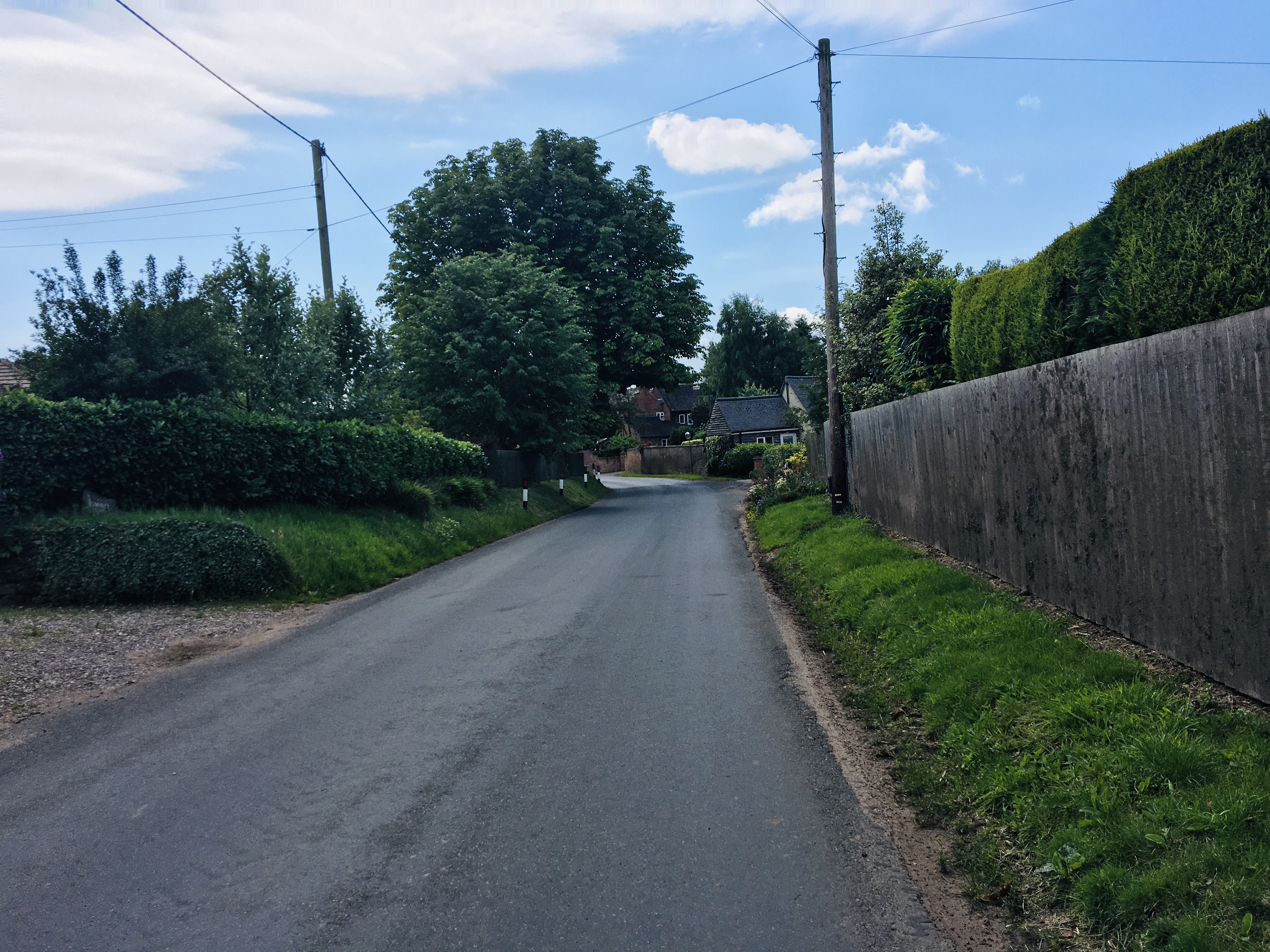
Little Bolas Images
Images are sourced within 2km of 52.793385/-2.5293056 or Grid Reference SJ6421. Thanks to Geograph Open Source API. All images are credited.
Little Bolas is located at Grid Ref: SJ6421 (Lat: 52.793385, Lng: -2.5293056)
Unitary Authority: Shropshire
Police Authority: West Merica
What 3 Words
///kinks.curls.haggle. Near Stoke upon Tern, Shropshire
Nearby Locations
Related Wikis
Great Bolas
Great Bolas (), or Bolas Magna, is a small village in rural Shropshire, England. It is situated north-west of Newport, and about eight miles north of Telford...

River Meese
The River Meese is a river, located in Shropshire, England. It is a tributary of the River Tern, itself a tributary of the River Severn. The river is only...
Eaton upon Tern
Eaton upon Tern is a small village, located in the parish of Stoke upon Tern in Northern Shropshire, England. The parish also includes the settlements...
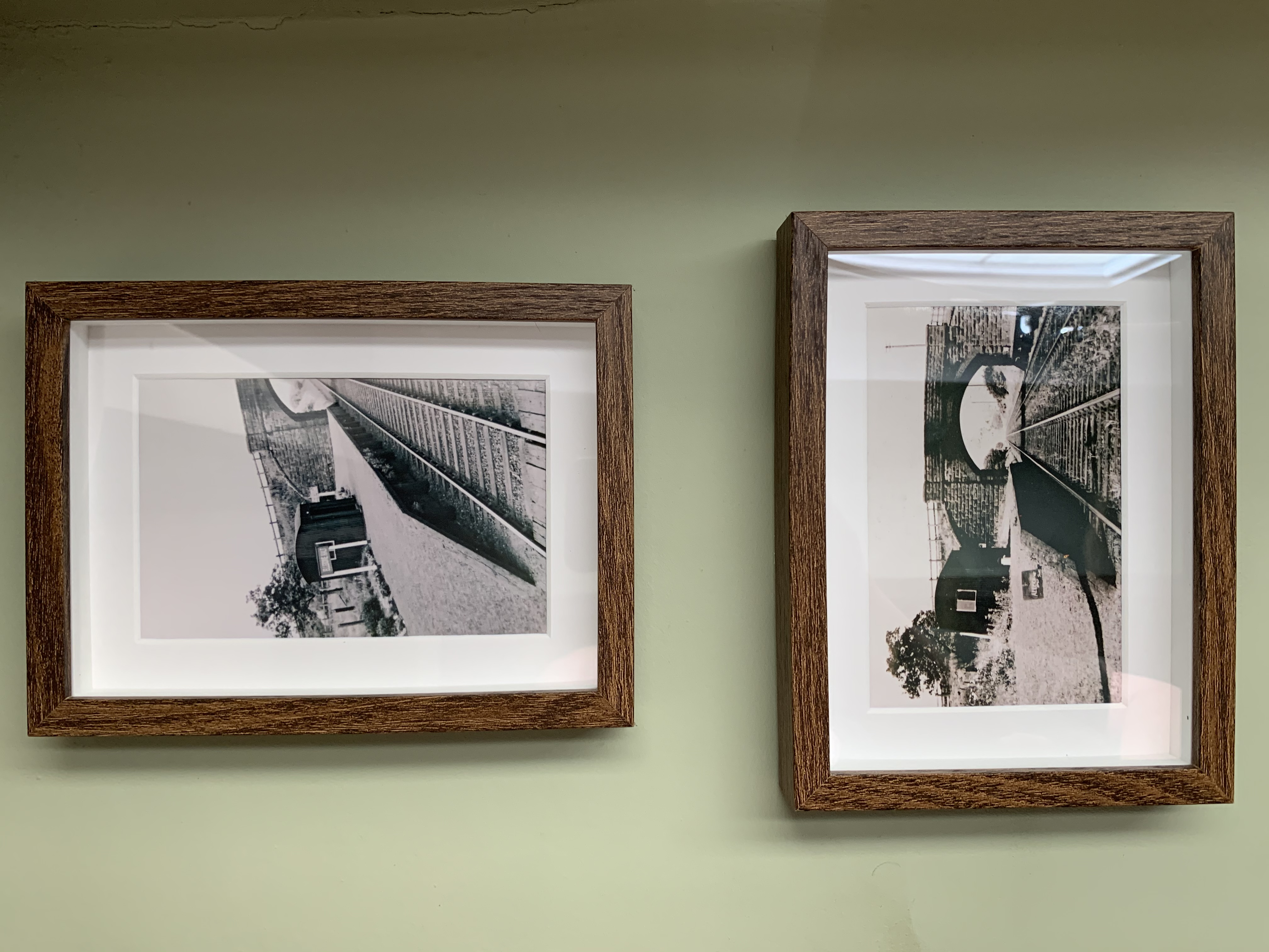
Ellerdine Halt railway station
Ellerdine Halt railway station was a station in Cold Hatton, Shropshire, England. The station was opened in 1930 and closed in 1963. The station was named...

RAF Peplow
Royal Air Force Peplow, or more simply RAF Peplow, is a former Royal Air Force located, located 7 miles (11 km) South of Market Drayton in Shropshire,...
Cold Hatton
Cold Hatton is a small village in Shropshire, located approximately six miles south of Hodnet near the confluence of the River Tern and River Meese. It...

Waters Upton
Waters Upton is a small village and civil parish in the Telford and Wrekin district, in the county of Shropshire, England. The population of the civil...
Rowton Halt railway station
Rowton Halt railway station was a station in Rowton, Shropshire, England. The station was opened in 1935 and closed in 1963. The halt was located to the...
Nearby Amenities
Located within 500m of 52.793385,-2.5293056Have you been to Little Bolas?
Leave your review of Little Bolas below (or comments, questions and feedback).