Linfit
Settlement in Yorkshire
England
Linfit
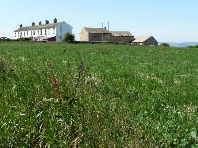
Linfit is a small village located in the metropolitan borough of Kirklees, West Yorkshire, England. Situated within the wider area of Huddersfield, Linfit is a rural settlement characterized by its picturesque surroundings and tranquil atmosphere. The village is nestled between the River Colne and the Pennine Hills, offering residents and visitors alike breathtaking views of the surrounding countryside.
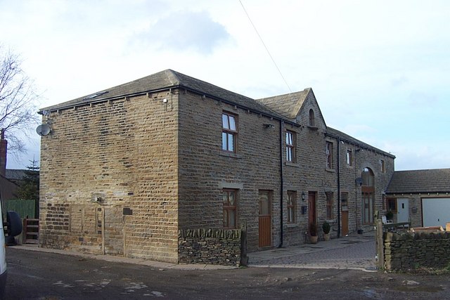
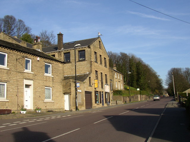
With a population of around 400 people, Linfit retains a close-knit community spirit. The village is primarily residential, with a scattering of charming stone-built cottages and a few local amenities. One of the notable features of Linfit is its historic church, St. Stephen's, which dates back to the 17th century and adds to the village's overall charm and character.
Nature enthusiasts are drawn to Linfit for its proximity to the beautiful Peak District National Park, providing ample opportunities for outdoor activities such as hiking, cycling, and birdwatching. The village also benefits from being close to popular attractions like the Yorkshire Sculpture Park and the National Coal Mining Museum for England, which offer cultural and educational experiences.
Although Linfit is a relatively quiet village, it benefits from its close proximity to nearby towns and cities, including Huddersfield, Wakefield, and Leeds, which provide a range of employment, educational, and recreational opportunities. The village is well-connected by road, with easy access to the M1 motorway and other major transport links.
In summary, Linfit is an idyllic Yorkshire village that offers a peaceful retreat within easy reach of both natural beauty and urban amenities.
If you have any feedback on the listing, please let us know in the comments section below.
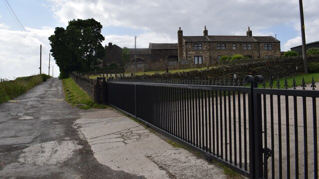
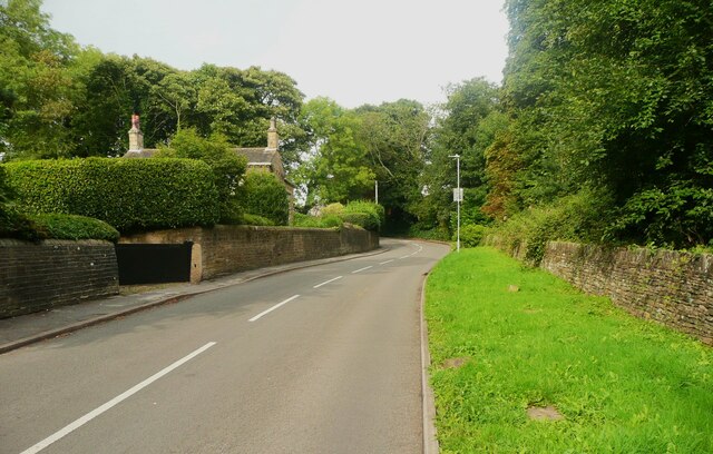
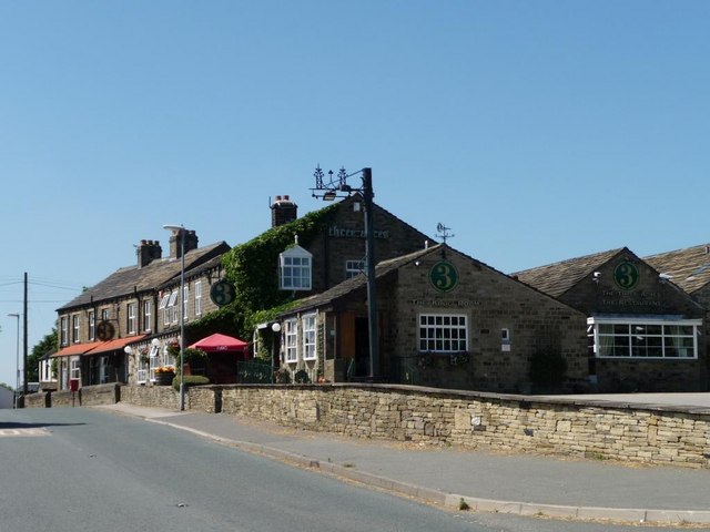
Linfit Images
Images are sourced within 2km of 53.621495/-1.688251 or Grid Reference SE2013. Thanks to Geograph Open Source API. All images are credited.
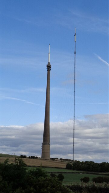
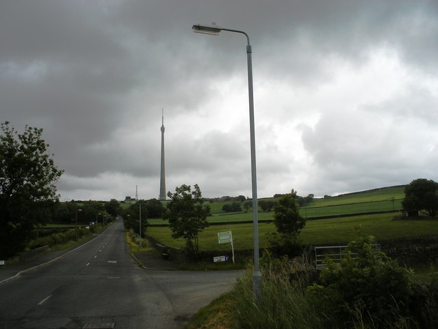
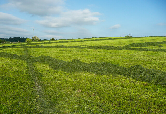
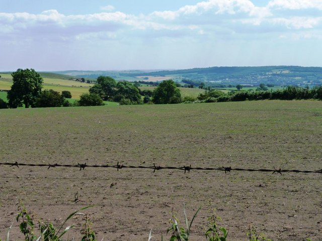
![Arable fields on former moorland East of Titus Lane [seen climbing the hill on the left] and in front of Emley Moor TV mast.](https://s0.geograph.org.uk/geophotos/02/49/05/2490516_7fb6a36c.jpg)
Linfit is located at Grid Ref: SE2013 (Lat: 53.621495, Lng: -1.688251)
Division: West Riding
Unitary Authority: Kirklees
Police Authority: West Yorkshire
What 3 Words
///lunged.strikers.boarding. Near Kirkburton, West Yorkshire
Nearby Locations
Related Wikis


Related Videos


The location of Lepton and Fenaybridge station (Kirkburton branch line )
Video one I miss calculated the location of the lepton and Fenaybridge station on the kirkburton line This video corrects the ...
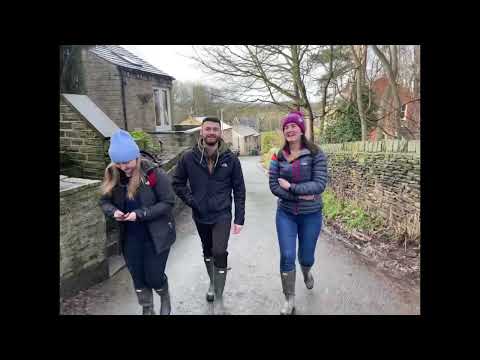
Shelley welly walk 2023
Shelley welly walk 2023 walk with Sarah , Vicky and Tom.

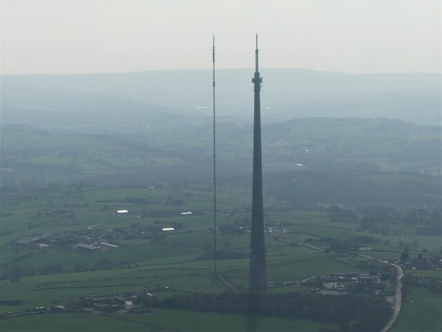
Emley Moor Mast in the SNOW! 4K
On a clear and sunny day, with snow covering the ground for as far as the eye could see, Emley Moor Mast stood tall and proud.
Nearby Amenities
Located within 500m of 53.621495,-1.688251Have you been to Linfit?
Leave your review of Linfit below (or comments, questions and feedback).