Lemlair

Settlement in Ross-shire

Scotland

Lemlair

Approaching the Ardulie Roundabout The A9(T) has traversed the Cromarty Firth and this roundabout will offer a route southwest towards Dingwall or northeast towards Tain.
Approaching the Ardulie Roundabout Credit: Stuart Logan

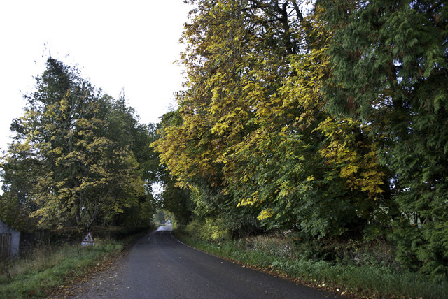
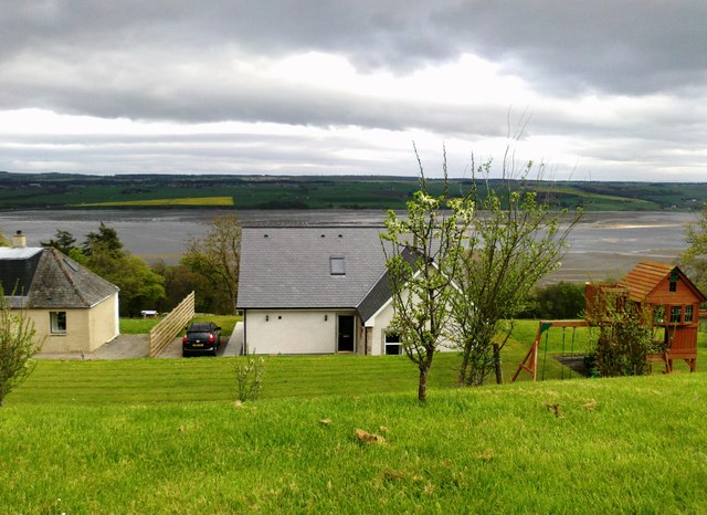
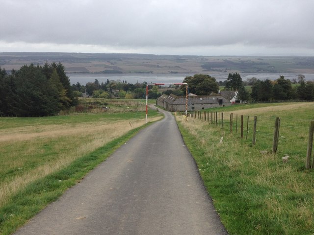
Lemlair is a small village located in Ross-shire, Scotland. Situated near the Cromarty Firth, Lemlair is known for its picturesque countryside views and tranquil surroundings. The village is home to a tight-knit community of residents who take pride in their rural way of life.

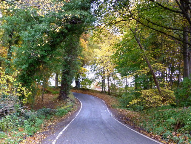
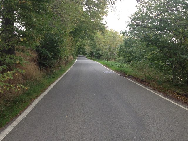
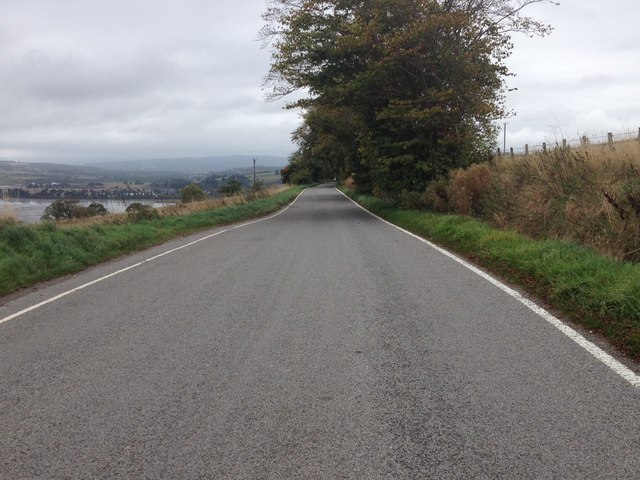
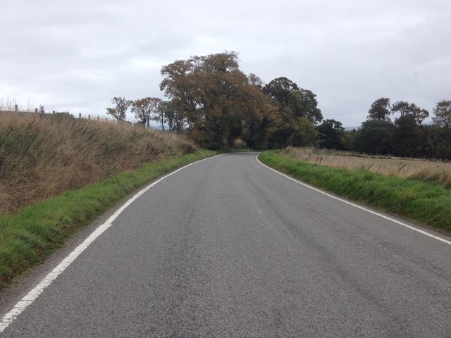
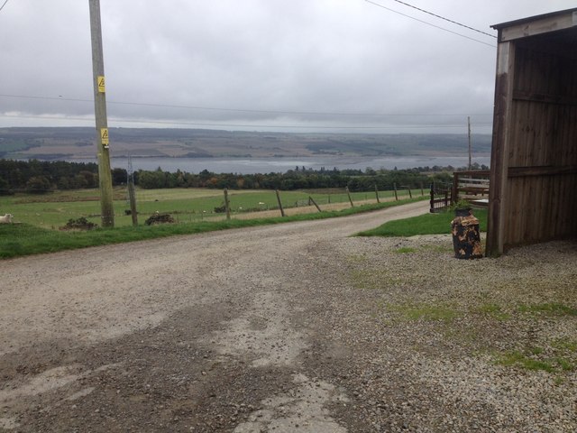
Lemlair is surrounded by rolling hills and lush green landscapes, making it a popular destination for outdoor enthusiasts and nature lovers. The village offers plenty of opportunities for hiking, cycling, and birdwatching, with several scenic trails and paths to explore.

In terms of amenities, Lemlair has a few local shops and services, including a small grocery store and a post office. For more extensive shopping and dining options, residents can easily access nearby towns such as Alness or Invergordon.

Overall, Lemlair is a charming and peaceful village that offers a slower pace of life for those seeking a break from the hustle and bustle of larger cities. Its natural beauty and welcoming community make it a lovely place to visit or call home.

If you have any feedback on the listing, please let us know in the comments section below.
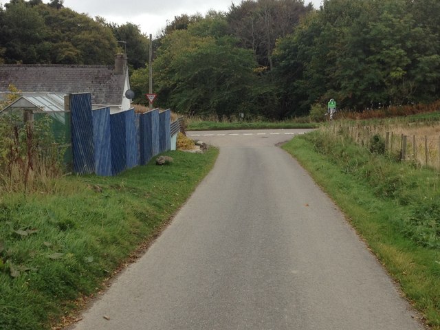
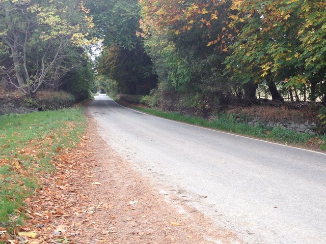
Lemlair Images

Images are sourced within 2km of 57.62457/-4.3934177 or Grid Reference NH5761. Thanks to Geograph Open Source API. All images are credited.

Approaching the Ardulie Roundabout The A9(T) has traversed the Cromarty Firth and this roundabout will offer a route southwest towards Dingwall or northeast towards Tain.
Approaching the Ardulie Roundabout
The A9(T) has traversed the Cromarty Firth and this roundabout will offer a route southwest towards Dingwall or northeast towards Tain.
The Cromarty Bridge View from near Mount Gerald
The Cromarty Bridge
View from near Mount Gerald
Minor road by Lemlair A scenic alternative route along the hillside, which parallels the A9.
Minor road by Lemlair
A scenic alternative route along the hillside, which parallels the A9.
A9 Cromarty Firth Bridge The A9 bridge across the Cromarty Firth
A9 Cromarty Firth Bridge
The A9 bridge across the Cromarty Firth
The Cromarty Bridge This bridge carries the A9 over the Cromarty Firth.
The Cromarty Bridge
This bridge carries the A9 over the Cromarty Firth.
Autumn at Lemlair
Autumn at Lemlair
Information Board beside Cromarty Firth A lay-by beside the A9 near to Ardullie Point is a good place to view seals.
Information Board beside Cromarty Firth
A lay-by beside the A9 near to Ardullie Point is a good place to view seals.
Cromarty Firth and Bridge The view from a lay-by on the A9 <a title="https://www.geograph.org.uk/photo/3330436" href="https://www.geograph.org.uk/photo/3330436">Link</a> .
Cromarty Firth and Bridge
The view from a lay-by on the A9 Link .
Cromarty Bridge Looking south towards the Black Isle.
Cromarty Bridge
Looking south towards the Black Isle.
New House, Mountgerald
Cromarty Bridge
Cromarty Bridge
Road near Mountrich
Road near Mountrich
Road near Mains of Mountgerald
End of the public road at Culbin
Minor road near Pelaig Farm
Road junction near Mountgerald
Road near Lemlair
Road near Lemlair
Show me another place!

Lemlair is located at Grid Ref: NH5761 (Lat: 57.62457, Lng: -4.3934177)

Unitary Authority: Highland

Police Authority: Highlands and Islands

What 3 Words

///gown.crown.submerge. Near Dingwall, Highland

Nearby Locations

Lemlair

Related Wikis

Lemlair House

Lemlair House is a mansion house in the parish of Kiltearn, Ross-shire, in the Highland council area of the Scottish Highlands. == History == A 17th century...

Mountgerald

Mountgerald (Scottish Gaelic: An Claon) is a small hamlet which lies close to the head of the Cromarty Firth, on the west coast. It is 2 miles (3 km)...
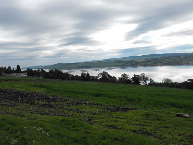
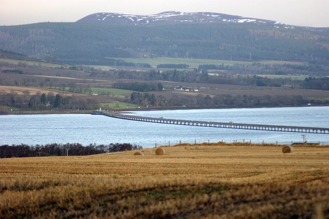
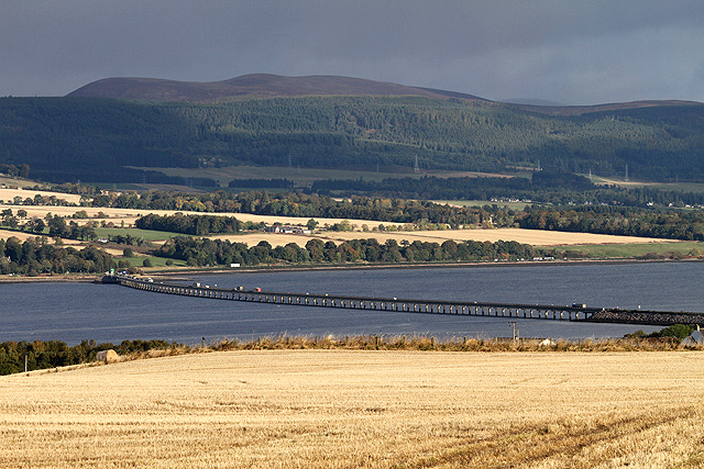
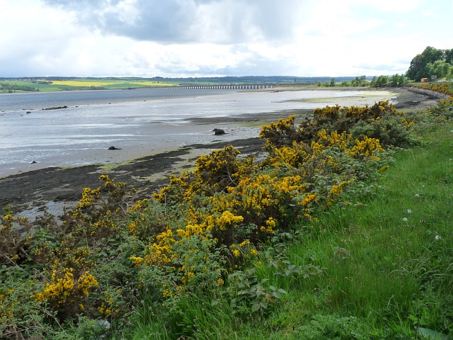
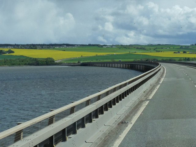
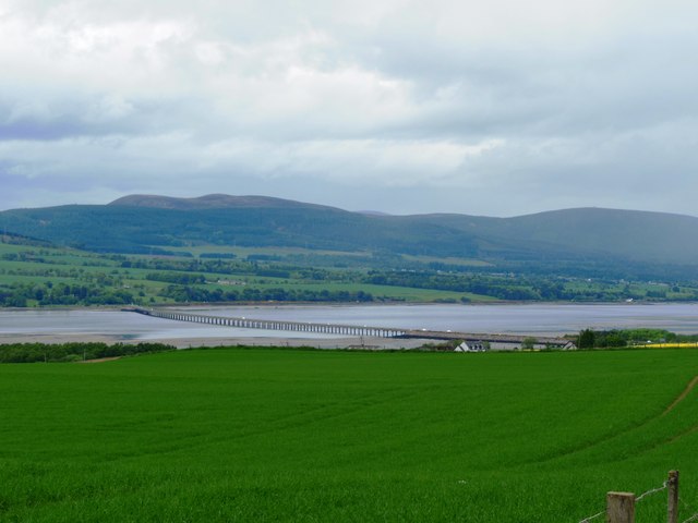
Cromarty Bridge

The Cromarty Bridge is a road bridge over the Cromarty Firth in Scotland. == History == === Design === The bridge joins a junction with the B9163 to the...
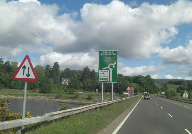
Ardullie

Ardullie (Scottish Gaelic: Àird Ilidh) is a village in Ross-shire, in the Highland council area of Scotland. It is on the north shore of the Cromarty Firth...

Nearby Amenities

Located within 500m of 57.62457,-4.3934177
Bus Stop
Lemlair Farm
Naptan AtcoCode: 6700713481
Naptan Bearing: E
Naptan CommonName: Lemlair Farm
Naptan Indicator: o/s Farm
Naptan Landmark: Lemlair Farm
Naptan NaptanCode: 45328758
Naptan Street: Old Evanton Road
Naptan Verified: no
Source: naptan_import
Lat/Long: 57.6246315/-4.3935874
Woodlands
Place: locality
Lat/Long: 57.6257272/-4.3995953
Power: pole
Lat/Long: 57.6235685/-4.401362
Power: pole
Lat/Long: 57.6243172/-4.400802
Power: pole
Lat/Long: 57.6250897/-4.4008974
Power: pole
Lat/Long: 57.625821/-4.4009826
Power: pole
Lat/Long: 57.627065/-4.399688
Power: pole
Lat/Long: 57.6275311/-4.3982878
Power: pole
Lat/Long: 57.6279777/-4.3968491
Power: pole
Lat/Long: 57.6284047/-4.3955829
Power: pole
Lat/Long: 57.6288436/-4.3942761
The data included in this document is from www.openstreetmap.org. The data is made available under ODbL.

Have you been to Lemlair?

Leave your review of Lemlair below (or comments, questions and feedback).